
-
Federal
NACP North American Forest Dynamics Project: Forest Disturbance and Regrowth Data 17 recent views
National Aeronautics and Space Administration —
This data set provides the results of time-series analyses of Landsat imagery for 55 selected forested sites across the conterminous U.S.A. The output is a pair of... -
Federal
The NASA Air Traffic Management Ontology (atmonto) 16 recent views
National Aeronautics and Space Administration —
The NASA ATM (Air Traffic Management) Ontology describes classes, properties, and relationships relevant to the domain of air traffic management, and represents... -
Federal
Global Earthquake Hazard Distribution - Peak Ground Acceleration 10 recent views
National Aeronautics and Space Administration —
The Global Earthquake Hazard Distribution - Peak Ground Acceleration is a 2.5 minute grid of global earthquake hazards developed using Global Seismic Hazard Program... -
Federal
Mars surface image (Curiosity rover) labeled data set version 1
National Aeronautics and Space Administration —
This data set consists of 6691 images spanning 24 classes that were collected by the Mars Science Laboratory (MSL, Curosity) rover by three instruments (Mastcam Right... -
Federal
Global Flood Hazard Frequency and Distribution
National Aeronautics and Space Administration —
The Global Flood Hazard Frequency and Distribution is a 2.5 minute grid derived from a global listing of extreme flood events between 1985 and 2003 (poor or missing... -
Federal
National Land Cover Data set 1992 (NLCD1992)
National Aeronautics and Space Administration —
National Land Cover Dataset 1992 (NLCD1992) is a 21-class land cover classification scheme that has been applied consistently across the lower 48 United States at a... -
Federal
Classification of Mars Terrain Using Multiple Data Sources
National Aeronautics and Space Administration —
Classification of Mars Terrain Using Multiple Data Sources Alan Kraut1, David Wettergreen1 ABSTRACT. Images of Mars are being collected faster than they can be... -
Federal
GBM Solar Flare List
National Aeronautics and Space Administration —
Autonomous flare finder identifies all flares ≥ GOES C-Class detected by GBM above 10 keV. (FITS file) -
Federal
NLCD 1992/2001 Retrofit Land Cover Change Product
National Aeronautics and Space Administration —
Developments in mapping methodology, new sources of input data, and changes in the mapping legend for the 2001 National Land Cover Database (NLCD2001) will confound... -
Federal
Global Flood Proportional Economic Loss Risk Deciles
National Aeronautics and Space Administration —
The Global Flood Proportional Economic Loss Risk Deciles is a 2.5 minute grid of flood hazard economic loss as proportions of Gross Domestic Product (GDP) per... -
Federal
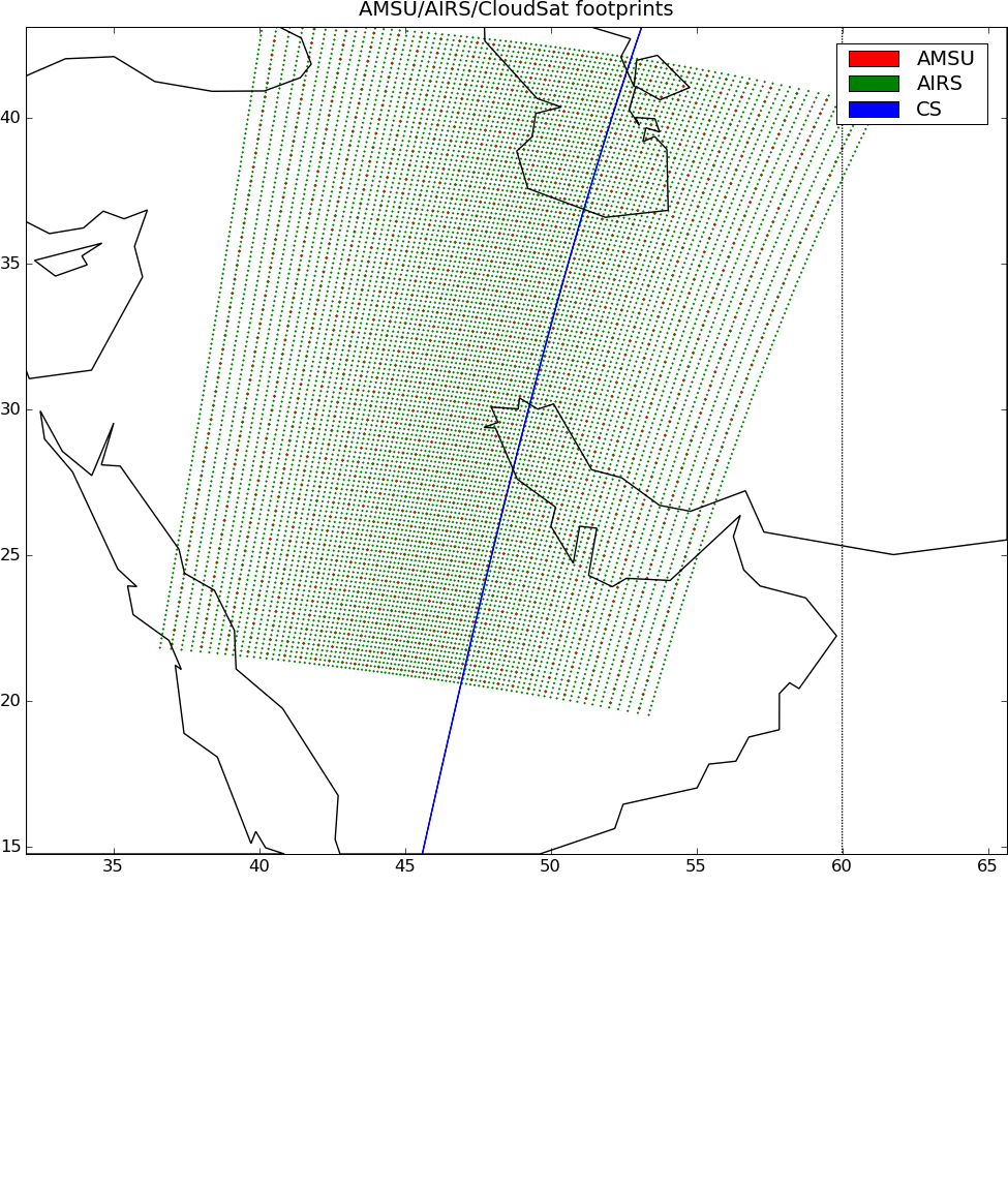
AIRS-CloudSat cloud mask, radar reflectivities, and cloud classification matchups V3.2 (AIRS_CPR_MAT) at GES DISC
National Aeronautics and Space Administration —
This is AIRS-CloudSat collocated subset, in NetCDF-4 format. These data contain collocated: AIRS Level 1b radiances spectra, CloudSat radar reflectivities, and MODIS... -
Federal
Classification
National Aeronautics and Space Administration —
A supervised learning task involves constructing a mapping from an input data space (normally described by several features) to an output space. A set of training... -
Federal
KEYWORD SEARCH IN TEXT CUBE: FINDING TOP-K RELEVANT CELLS
National Aeronautics and Space Administration —
KEYWORD SEARCH IN TEXT CUBE: FINDING TOP-K RELEVANT CELLS BOLIN DING, YINTAO YU, BO ZHAO, CINDY XIDE LIN, JIAWEI HAN, AND CHENGXIANG ZHAI Abstract. We study the... -
Federal
FLASHFlux Daily Gridded Single Satellite TOA and Surfaces/Clouds data in HDF Version 4A
National Aeronautics and Space Administration —
FLASH_TISA_Terra-Aqua_Version4a is the Fast Longwave And SHortwave Fluxes (FLASHFlux) Daily Gridded Single Satellite Top-of-Atmosphere (TOA) and Surfaces/Clouds data... -
Federal
CALIPSO Lidar Level 2 1 km Cloud Layer, V4-51
National Aeronautics and Space Administration —
CAL_LID_L2_01kmCLay-Standard-V4-51 is the Cloud-Aerosol Lidar and Infrared Pathfinder Satellite Observations (CALIPSO) Lidar Level 2 1 km Cloud Layer, Version 4-51... -
Federal
CALIPSO Lidar Level 2 1/3km Cloud Layer data, Validated Stage 1 V3-30
National Aeronautics and Space Administration —
CAL_LID_L2_333mCLay-ValStage1-V3-30 data are Cloud-Aerosol Lidar and Infrared Pathfinder Satellite Observation (CALIPSO) Lidar Level 2 1/3km (333m) cloud layer data,... -
Federal
ADAPTIVE FAULT DETECTION ON LIQUID PROPULSION SYSTEMS WITH VIRTUAL SENSORS: ALGORITHMS AND ARCHITECTURES
National Aeronautics and Space Administration —
Prior to the launch of STS-119 NASA had completed a study of an issue in the flow control valve (FCV) in the Main Propulsion System of the Space Shuttle using an... -
Federal
An Unexpectedly Large Count of Trees in the West African Sahara and Sahel
National Aeronautics and Space Administration —
This dataset provides georeferenced polygon vectors of individual tree canopy geometries for dryland areas in West African Sahara and Sahel that were derived using... -
Federal
Distributed Anomaly Detection using 1-class SVM for Vertically Partitioned Data
National Aeronautics and Space Administration —
There has been a tremendous increase in the volume of sensor data collected over the last decade for different monitoring tasks. For example, petabytes of earth... -
Federal
Gridded Species Distribution: Global Mammal Richness Grids, 2015 Release
National Aeronautics and Space Administration —
The 2015 Release of the Global Mammal Richness Grids data set of the Gridded Species Distribution collection are aggregations of the presence grids data for the...

Official websites use .gov
A
.gov website belongs to an official government
organization in the United States.
Secure .gov websites use HTTPS
A
lock (
) or https:// means you’ve safely connected to
the .gov website. Share sensitive information only on official,
secure websites.