AIRS-CloudSat cloud mask, radar reflectivities, and cloud classification matchups V3.2 (AIRS_CPR_MAT) at GES DISC
Access & Use Information
Downloads & Resources
-
Google Scholar search resultsHTML
Search results for publications that cite this dataset by its DOI.
-
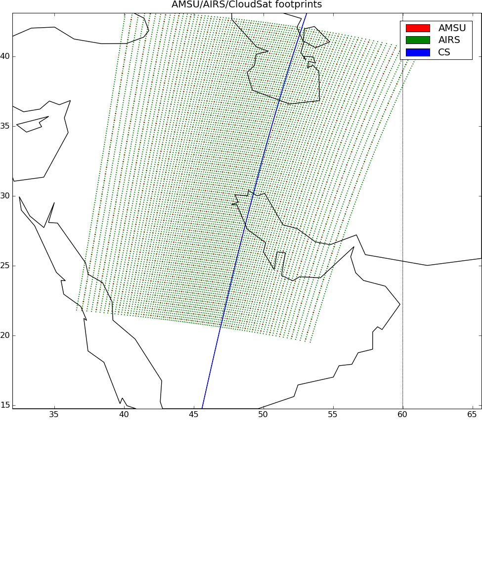
Get a related visualizationPNG
AIRS_CPR_MAT_3.2.png
-
This dataset's landing pageHTML
Access the dataset landing page from the GES DISC website.
-
Download this dataset through a directory mapHTML
-
Download this dataset through Earthdata SearchHTML
Use the Earthdata Search to find and retrieve data sets across multiple data...
-
The dataset's project home pageHTML
-
View this dataset's read me documentPDF
README.AIRS_CloudSat.pdf
-
Landing PageLanding Page
Dates
| Metadata Created Date | November 12, 2020 |
|---|---|
| Metadata Updated Date | December 6, 2023 |
Metadata Source
- Data.json Data.json Metadata
Harvested from NASA Data.json
Graphic Preview

Additional Metadata
| Resource Type | Dataset |
|---|---|
| Metadata Created Date | November 12, 2020 |
| Metadata Updated Date | December 6, 2023 |
| Publisher | NASA/GSFC/SED/ESD/GCDC/GESDISC |
| Maintainer | |
| Identifier | C1236224153-GES_DISC |
| Data First Published | 2006-06-15 |
| Language | en-US |
| Data Last Modified | 2012-12-14 |
| Category | MEaSUREs, geospatial |
| Public Access Level | public |
| Bureau Code | 026:00 |
| Metadata Context | https://project-open-data.cio.gov/v1.1/schema/catalog.jsonld |
| Metadata Catalog ID | https://data.nasa.gov/data.json |
| Schema Version | https://project-open-data.cio.gov/v1.1/schema |
| Catalog Describedby | https://project-open-data.cio.gov/v1.1/schema/catalog.json |
| Citation | Eric Fetzer, Brian Wilson, and Gerald Manipon. 2013-07-01. AIRS_CPR_MAT. Version 3.2. AIRS-CloudSat cloud mask, radar reflectivities, and cloud classification matchups V3.2. Greenbelt, MD, USA. AIRS_CPR_MAT_3.2. Archived by National Aeronautics and Space Administration, U.S. Government, Goddard Earth Sciences Data and Information Services Center (GES DISC). https://doi.org/10.5067/MEASURES/WVCC/DATA203. https://disc.gsfc.nasa.gov/datacollection/AIRS_CPR_MAT_3.2.html. Digital Science Data. |
| Creator | Eric Fetzer, Brian Wilson, and Gerald Manipon |
| Data Presentation Form | Digital Science Data |
| Graphic Preview File | https://docserver.gesdisc.eosdis.nasa.gov/public/project/Images/AIRS_CPR_MAT_3.2.png |
| Harvest Object Id | 05e26f18-33dc-42b9-a62c-51e9aab0d02b |
| Harvest Source Id | 58f92550-7a01-4f00-b1b2-8dc953bd598f |
| Harvest Source Title | NASA Data.json |
| Issue Identification | AIRS_CPR_MAT_3.2 |
| Homepage URL | https://doi.org/10.5067/MEASURES/WVCC/DATA203 |
| Metadata Type | geospatial |
| Old Spatial | -180.0 -90.0 180.0 90.0 |
| Program Code | 026:001 |
| Release Place | Greenbelt, MD, USA |
| Series Name | AIRS_CPR_MAT |
| Source Datajson Identifier | True |
| Source Hash | 3a8b1f5c7a329194d6bbfb4266a1669f2331cf655cb1d3bd7dea5330feae2ed2 |
| Source Schema Version | 1.1 |
| Spatial | |
| Temporal | 2006-06-15T00:00:00Z/2012-12-14T23:59:59.999Z |
Didn't find what you're looking for? Suggest a dataset here.

