
-
Tree Inventory and Biometry Measurements, Tapajos National Forest, Para, Brazil, 2010 recent views
This dataset provides tree inventory, tree height, diameter at breast height (DBH), and estimated crown measurements from 30 plots located in the Tapajos National Forest, Para,... -
ABoVE: Dall Sheep Lamb Recruitment and Climate Data, Alaska and NW Canada, 2000-2015 NGDA recent views
This dataset contains estimated annual average Dall sheep (Ovis dalli dalli) lamb-to-ewe ratios for each year from 2000-2015 across the full species range in Alaska and... -
ABoVE: Directory of Field Sites Associated with 2017 ABoVE Airborne Campaign recent views
This dataset provides a listing of the ~6,700 field sites used in planning the ABoVE Airborne Campaign (AAC) for 2017. The sites included point, polygon, and line locations that... -
NDVI, Species Cover, and LAI, Burned and Unburned sites, Interior Alaska, 2017-2018 NGDA recent views
This dataset provides leaf area index (LAI), tree species and canopy cover, normalized difference vegetation index (NDVI), and NDVI trends for boreal forests in interior Alaska,... -
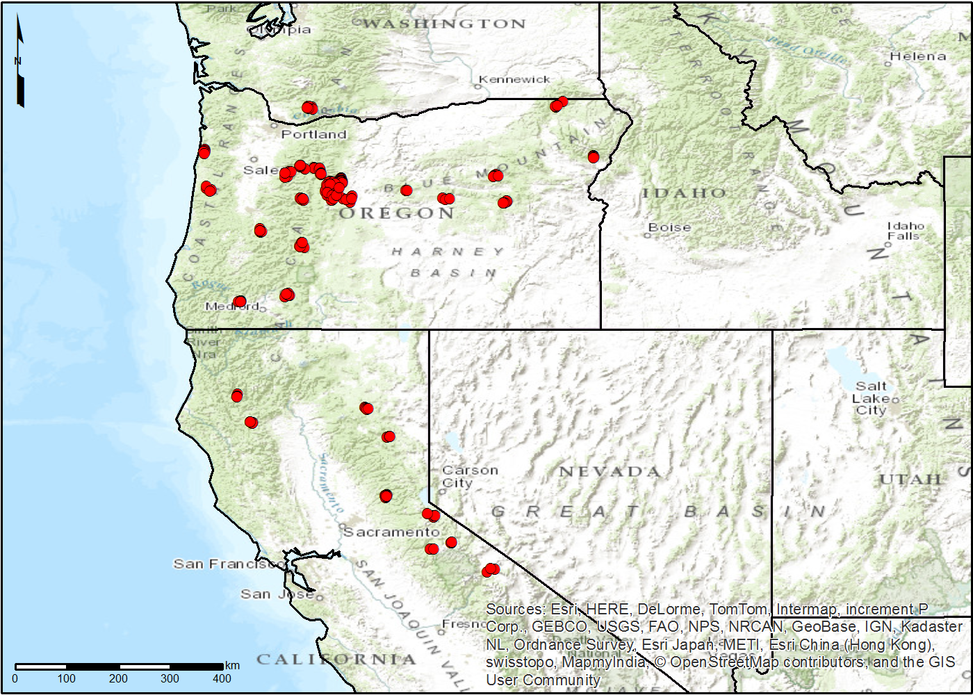
LiDAR Derived Forest Aboveground Biomass Maps, Northwestern USA, 2002-2016 recent views
This dataset provides maps of aboveground forest biomass (AGB) of living trees and standing dead trees in Mg/ha across portions of Northwestern United States, including... -
CMS: LiDAR Data for Forested Areas in Paragominas, Para, Brazil, 2012-2014 recent views
This data set provides raw LiDAR point cloud data and derived Digital Terrain Models (DTMs) for five forested areas in the municipality of Paragominas, Para, Brazil, for the... -
ABoVE: Lake and Wetland Classification from L-band SAR, Alaska and Canada, 2017-2019 recent views
This dataset contains a high-resolution land cover classification focused on water and wetland vegetation classes over three NASA ABoVE Campaign regions: Yukon Flats, Alaska,... -
MISR Level 2 Surface parameters V002 recent views
MIL2ASLS_2 is the Multi-angle Imaging SpectroRadiometer (MISR) Level 2 Land Surface parameters version 2 data product. It contains a variety of information on the Earth's... -
NACP TERRA-PNW: Forest Plant Traits, NPP, Biomass, and Soil Properties, 1999-2014 recent views
This data set contains measurements and estimates of leaf, tree, and soil data from six projects conducted by the Terrestrial Ecosystem Research and Regional Analysis- Pacific... -
ABoVE: Wetland Inundation Coverage at Yukon Flats, AK and PA Delta, Canada, 2017-2019 recent views
This dataset provides time series of wetland inundation coverage maps and corresponding inundation frequency maps at ~10-meter resolution estimated every 12 days during the... -
AfriSAR: Polarimetric Height Profiles by TomoSAR, Lope and Rabi Forests, Gabon, 2016 recent views
This dataset provides height profiles derived from UAVSAR (Uninhabited Aerial Vehicle Synthetic Aperture Radar; JPL) data acquired over Lope National Park and Rabi Forest in... -
ABoVE: Subsistence Resource Use Areas of Interior Alaskan Communities, 2011-2017 recent views
This dataset provide maps to show the search and harvest areas used by community residents for all subsistence resources combined across Interior Alaska for the years 2011... -
Landsat-derived Spring and Autumn Phenology, Eastern US - Canadian Forests, 1984-2013 recent views
This dataset provides Landsat phenology algorithm (LPA) derived start and end of growing seasons (SOS and EOS) at 500-m resolution for deciduous and mixed forest areas of 75... -
FLUXNET Research Network Site Characteristics, Investigators, and Bibliography, 2016 recent views
FLUXNET is a global network of micrometeorological tower sites that use eddy covariance methods to measure the exchanges of carbon dioxide, water vapor, and energy between... -
Geobotanical and Impact Map Collection for Prudhoe Bay Oilfield, Alaska, 1972-2010 recent views
This data set provides a collection of maps of geoecological characteristics of areas within the Beechey Point quadrangle near Prudhoe Bay on the North slope of Alaska: a... -
ABoVE: Permafrost Measurements and Distribution Across the Y-K Delta, Alaska, 2016 recent views
This dataset provides field observations of thaw depth and dominant vegetation types, a LiDAR-derived elevation map, and permafrost distribution and probability maps for an area... -
Land Cover and Ecosystem Map Collection for Northern Alaska recent views
This data set provides four land cover and ecosystem classification maps for northern Alaska. The maps were produced for several projects and from different data sources... -
CMS: LiDAR-derived Canopy Height, Elevation for Sites in Kalimantan, Indonesia, 2014 recent views
This dataset provides canopy height and elevation data products derived from airborne LiDAR data collected over 90 sites on the island of Borneo in late 2014. The sites cover... -
Timeseries of Arctic-Boreal Lake Area Derived from CubeSat Imagery, 2017 recent views
This dataset provides near-daily lake area timeseries for 85,358 lakes across four study areas in Northern Canada and Alaska, USA, between May 1 and October 1, 2017. These lake... -
Maps of Vegetation Types and Physiographic Features, Kuparuk River Basin, Alaska recent views
This data set provides a collection of vegetation, landscape, geobotanical, elevation, hydrology, and geologic maps for the Kuparuk River Basin, North Slope, Alaska. The maps...

Official websites use .gov
A
.gov website belongs to an official government
organization in the United States.
Secure .gov websites use HTTPS
A
lock (
) or https:// means you’ve safely connected to
the .gov website. Share sensitive information only on official,
secure websites.