

CMS: LiDAR Data for Forested Areas in Paragominas, Para, Brazil, 2012-2014
Access & Use Information
Downloads & Resources
-
Google Scholar search resultsHTML
Search results for publications that cite this dataset by its DOI.
-
Download this datasetHTML
This link allows direct data access via Earthdata login
-
View documentation related to this datasetHTML
ORNL DAAC Data Set Documentation
-
This dataset's landing pageHTML
Data set Landing Page DOI URL
-
View documentation related to this datasetKML
Data Set Documentation
-
View documentation related to this datasetKML
Data Set Documentation
-
View documentation related to this datasetKML
Data Set Documentation
-
View documentation related to this datasetJPEG
Data Set Documentation
-
View documentation related to this datasetPDF
Data Set Documentation
-
View documentation related to this datasetCSV
Data Set Documentation
-
View documentation related to this datasetCSV
Data Set Documentation
-
View documentation related to this datasetKML
Data Set Documentation
-
View documentation related to this datasetKML
Data Set Documentation
-
Get a related visualizationPNG
Browse Image
-
Use Web Coverage Service (WCS) to download the...HTML
Web Coverage Service for this collection.
-
Landing PageLanding Page
Dates
| Metadata Created Date | December 1, 2022 |
|---|---|
| Metadata Updated Date | December 7, 2023 |
Metadata Source
- Data.json Data.json Metadata
Harvested from NASA Data.json
Graphic Preview

Additional Metadata
| Resource Type | Dataset |
|---|---|
| Metadata Created Date | December 1, 2022 |
| Metadata Updated Date | December 7, 2023 |
| Publisher | ORNL_DAAC |
| Maintainer | |
| Identifier | C2389137421-ORNL_CLOUD |
| Data First Published | 2022-05-10 |
| Language | en-US |
| Data Last Modified | 2023-06-12 |
| Category | CMS, geospatial |
| Public Access Level | public |
| Bureau Code | 026:00 |
| Metadata Context | https://project-open-data.cio.gov/v1.1/schema/catalog.jsonld |
| Metadata Catalog ID | https://data.nasa.gov/data.json |
| Schema Version | https://project-open-data.cio.gov/v1.1/schema |
| Catalog Describedby | https://project-open-data.cio.gov/v1.1/schema/catalog.json |
| Citation | dos-Santos, M.N., and M.M. Keller. 2016. CMS: LiDAR Data for Forested Areas in Paragominas, Para, Brazil, 2012-2014. ORNL DAAC, Oak Ridge, Tennessee, USA. http://dx.doi.org/10.3334/ORNLDAAC/1302 |
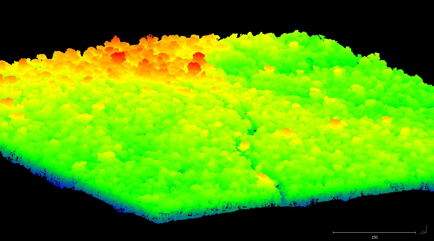
| Graphic Preview Description | Browse Image |
| Graphic Preview File | https://daac.ornl.gov/graphics/browse/sdat-tds/1302_1_fit.png |
| Harvest Object Id | a1221f65-0e80-47ec-8d04-0a5905e3a785 |
| Harvest Source Id | 58f92550-7a01-4f00-b1b2-8dc953bd598f |
| Harvest Source Title | NASA Data.json |
| Homepage URL | https://doi.org/10.3334/ORNLDAAC/1302 |
| Metadata Type | geospatial |
| Old Spatial | -48.5 -3.77 -46.79 -2.55 |
| Program Code | 026:001 |
| Source Datajson Identifier | True |
| Source Hash | 3b9f8b4d7b9f730fd4403d235e7a775de4e3c0c676dcf4cf4a6224d4600fe443 |
| Source Schema Version | 1.1 |
| Spatial | |
| Temporal | 2012-07-27T00:00:00Z/2014-12-27T23:59:59Z |
Didn't find what you're looking for? Suggest a dataset here.