
-
Federal
GPM DPR Ku-band Received Power L1B 1.5 hours 5 km V07 (GPM_PRL1KU) at GES DISC
National Aeronautics and Space Administration —
Version 07 is the current version of the data set. Older versions are no longer available and have been superseded by Version 07. This product contains the calibrated... -
Federal
Legates Surface and Ship Observations of Precipitation Climatology 0.5 x 0.5 degree V1 (RAIN_LEGATES) at GES DISC
National Aeronautics and Space Administration —
The Legates Surface and Shipboard Rain Gauge Observations data set consists of a global climatology of monthly mean precipitation values. A global climatology of mean... -
Federal
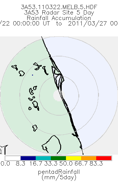
TRMM Ground Validation Radar Site Rain Totals Map L3 5 days 2 km V7 (TRMM_3A53) at GES DISC
National Aeronautics and Space Administration —
This is the 5-day accumulation of the 2A53 product, 'Radar Site Rain Map', which originally is an instantaneous surface rain rate map in Cartesian coordinates with a... -
Federal
TRMM Ground Validation Radar Site Rain Rate Map L2 1 hour 2 km V7 (TRMM_2A53) at GES DISC
National Aeronautics and Space Administration —
'Radar Site Rain Map', is an instantaneous surface rain rate map in Cartesian coordinates with a 2 km horizontal resolution. At single radar sites, the map covers an... -
Federal
TRMM Microwave Imager Precipitation Profile L3 1 month 0.5 degree x 0.5 degree V7 (TRMM_3A12) at GES DISC
National Aeronautics and Space Administration —
The new equivalent for this dataset should be searched for as "GPM_3GPROFTRMMTMI_CLIM". This product contains global monthly means of surface precipitation rate, rain... -
Federal
GPM DPR Ka Environment L2A 1.5 hours 5 km V07 (GPM_2AKaENV) at GES DISC
National Aeronautics and Space Administration —
Version 07 is the current version of the data set. Older versions will no longer be available and have been superseded by Version 07. . This is environmental data... -
Federal
TOVS GLA MONTHLY GRIDS from NOAA-9 V01 (TOVSAMNF) at GES DISC
National Aeronautics and Space Administration —
This dataset (TOVSAMNF) contains the TIROS Operational Vertical Sounder (TOVS) level 3 geophysical parameters derived using data from NOAA-9 and the physical... -
Federal
New York State Mesonet IMPACTS V1
National Aeronautics and Space Administration —
The New York State Mesonet IMPACTS dataset is a browse-only dataset and consists of temperature, wind, wind direction, mean sea level pressure, precipitation, and... -
Federal
Sounder SIPS: Suomi NPP CrIMSS Level 3 Comprehensive Quality Control Gridded Monthly CLIMCAPS Full Spectral Resolution V2 at GES DISC
National Aeronautics and Space Administration —
WARNING: To users of the derived product “co_mmr_midtrop” (carbon monoxide mass mixing ratio to dry air [kg/kg] at ~500 hPa). This variable has a significant bias due... -
Federal
TRMM Ground Validation Calibrated QC Radar Reflectivity Full Volume Scan L1C 1 hour V7 (TRMM_1C51UW) at GES DISC
National Aeronautics and Space Administration —
This dataset is part of the University of Washington TRMM Ground Validation products. Files are in "Universal Format", described in BAMS, Vol 61, No 11, November... -
Federal
GPM DPR L2A Environment 1.5 hours 5 km V07 (GPM_2ADPRENV) at GES DISC
National Aeronautics and Space Administration —
Version 07 is the current version of the data set. Older versions will no longer be available and have been superseded by Version 07. . This is environmental data... -
Federal
TOVS GLA DAILY GRIDS from NOAA-11 V01 (TOVSADNH) at GES DISC
National Aeronautics and Space Administration —
This dataset (TOVSADNH) contains the TIROS Operational Vertical Sounder (TOVS) level 3 geophysical parameters derived using data from NOAA-11 and the physical... -
Federal
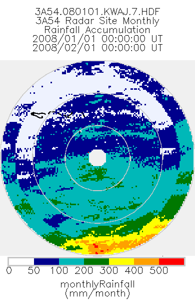
TRMM Ground Validation Radar Site Rain Type Totals Map L3 1 month 2 km V7 (TRMM_3A54UW) at GES DISC
National Aeronautics and Space Administration —
This dataset is part of the University of Washington TRMM Ground Validation products. Monthly rain accumulation cartesian grid based on 2A53UW. Units are mm. Min... -
Federal
Sounder SIPS: AQUA AIRS IR + MW Level 3 CLIMCAPS : Comprehensive Quality Control Gridded Daily V2 at GES DISC
National Aeronautics and Space Administration —
WARNING: To users of the derived product “co_mmr_midtrop” (carbon monoxide mass mixing ratio to dry air [kg/kg] at ~500 hPa). This variable has a significant bias due... -
Federal
TRMM Ground Validation Rain Existence L2 1 month V7 (TRMM_2A52) at GES DISC
National Aeronautics and Space Administration —
The TRMM_2A52 product displays the existence of rain in the radar volume scan. 'Existence' is the fraction of the radar FOV which has measurable precipitation. The GV... -
Federal
GPM DPR Ka-band Received Power L1B 1.5 hours 5 km V07 (GPM_PRL1KA) at GES DISC
National Aeronautics and Space Administration —
Version 07 is the current version of the data set. Older versions are no longer available and have been superseded by Version 07. This product contains the calibrated... -
Federal
TRMM Ground Validation Calibrated QC Radar Reflectivity Full Volume Scan L1C 1 hour V7 (TRMM_1C51) at GES DISC
National Aeronautics and Space Administration —
The purpose of the 1C51 algorithm is to remove non-meteorological radar echoes that adversely affect the quality of higher level products, such as clutter associated... -
Federal
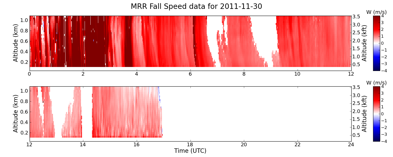
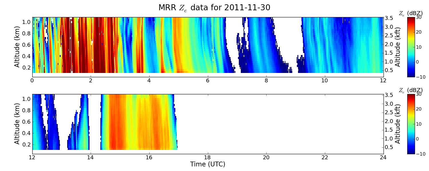
GPM GROUND VALIDATION NASA MICRO RAIN RADAR (MRR) GCPEX V2
National Aeronautics and Space Administration —
The GPM Ground Validation NASA Micro Rain Radar (MRR) GCPEx dataset was collected by a Micro Rain Radar (MRR), which is a vertically pointing Doppler radar which... -
Federal
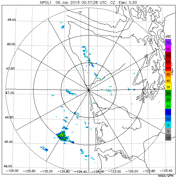
GPM Ground Validation NASA S-Band Dual Polarimetric (NPOL) Doppler Radar OLYMPEX V2
National Aeronautics and Space Administration —
The GPM Ground Validation NASA S-Band Dual Polarimetric (NPOL) Doppler Radar OLYMPEX V2 dataset consists of rain rate, reflectivity, Doppler velocity, and other radar... -
Federal
TOVS GLA DAILY GRIDS from NOAA-9 V01 (TOVSADNF) at GES DISC
National Aeronautics and Space Administration —
This dataset (TOVSADNF) contains the TIROS Operational Vertical Sounder (TOVS) level 3 geophysical parameters derived using data from NOAA-9 and the physical...

Official websites use .gov
A
.gov website belongs to an official government
organization in the United States.
Secure .gov websites use HTTPS
A
lock (
) or https:// means you’ve safely connected to
the .gov website. Share sensitive information only on official,
secure websites.