

GPM DPR L2A Environment 1.5 hours 5 km V07 (GPM_2ADPRENV) at GES DISC
Access & Use Information
Public: This dataset is intended for public access and use.
License: No license information was provided. If this work was prepared by an officer or employee of the United States government as part of that person's official duties it is considered a U.S. Government Work.
Downloads & Resources
-
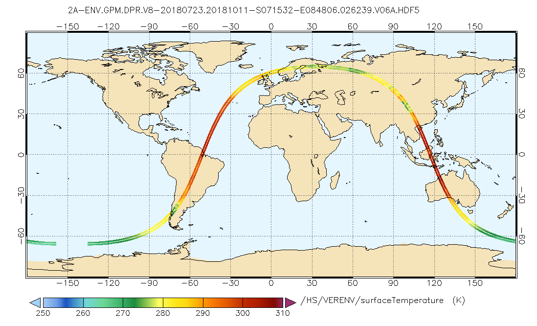
Get a related visualizationPNG
GPM_2ADPRENV.png
-
This dataset's landing pageHTML
Access the dataset landing page from the GES DISC website.
-
Download this dataset through a directory mapHTML
Access the data via HTTPS
-
Download this dataset through Earthdata SearchHTML
Use the Earthdata Search to find and retrieve data sets across multiple data...
-
Use OPeNDAP to access the dataset's dataHTML
Access the data via the OPeNDAP protocol
-
The dataset's project home pageHTML
GPM Project Home Page
-
View this dataset's read me documentPDF
README Document
-
View documentation related to this datasetPDF
FILE SPECIFICATION DOCUMENT
-
View documentation related to this datasetPDF
Release Notes
-
View documentation related to this datasetHTML
Instrument Description
-
View this dataset's documented anomaliesHTML
GPM and partner sensors anomalous events
-
Landing PageLanding Page
Dates
| Metadata Created Date | December 1, 2022 |
|---|---|
| Metadata Updated Date | April 10, 2025 |
Metadata Source
- Data.json Data.json Metadata
Harvested from NASA Data.json
Additional Metadata
| Resource Type | Dataset |
|---|---|
| Metadata Created Date | December 1, 2022 |
| Metadata Updated Date | April 10, 2025 |
| Publisher | NASA/GSFC/SED/ESD/GCDC/GESDISC |
| Maintainer | |
| Identifier | C2179081510-GES_DISC |
| Data First Published | 2021-12-06 |
| Language | en-US |
| Data Last Modified | 2025-03-31 |
| Category | GPM, geospatial |
| Public Access Level | public |
| Bureau Code | 026:00 |
| Metadata Context | https://project-open-data.cio.gov/v1.1/schema/catalog.jsonld |
| Schema Version | https://project-open-data.cio.gov/v1.1/schema |
| Catalog Describedby | https://project-open-data.cio.gov/v1.1/schema/catalog.json |
| Harvest Object Id | 84011647-f7e6-4574-8db6-17e51ad74578 |
| Harvest Source Id | 58f92550-7a01-4f00-b1b2-8dc953bd598f |
| Harvest Source Title | NASA Data.json |
| Homepage URL | https://cmr.earthdata.nasa.gov:443/search/concepts/C2179081510-GES_DISC.html |
| Metadata Type | geospatial |
| Old Spatial | -180.0 -70.0 180.0 70.0 |
| Program Code | 026:001 |
| Source Datajson Identifier | True |
| Source Hash | 4b9c4f46150ec48e7f436c407cb0d12c647431fa6f7238d0a251894ec96e0bfb |
| Source Schema Version | 1.1 |
| Spatial | |
| Temporal | 2014-03-08T00:00:00Z/2023-02-28T00:00:00Z |
Didn't find what you're looking for? Suggest a dataset here.