
-
Federal
VIIRS/NPP Surface Reflectance 8-Day L3 Global 500m SIN Grid V001
National Aeronautics and Space Administration —
The 8-day Visible Infrared Imaging Radiometer Suite (VIIRS) (https://lpdaac.usgs.gov/dataset_discovery/viirs) Surface Reflectance (VNP09H1) Version 1 composite... -
Federal
2012 and 2013 Air Quality Fused Surface for the Conterminous U.S. Map Service
U.S. Environmental Protection Agency —
This web service contains a polygon layer that depicts fused air quality predictions for 2012, 2013, and 2014 for census tracts in the conterminous United States.... -
Federal
US EPA Nonattainment Areas and Designations-24 Hour PM2.5 (2006 NAAQS)
U.S. Environmental Protection Agency —
This web service contains the following layers: PM2.5 24hr 2006 NAAQS State Level and PM2.5 24hr 2006 NAAQS National. Full FGDC metadata records for each layer may be... -
Federal
US EPA 2014 Ozone Season Review by City
U.S. Environmental Protection Agency —
This web service contains the following layer: OzoneReview35Cities_with2000to2014data. Full FGDC metadata records for each layer may be found by clicking the layer... -
Federal
NOAA/WDS Paleoclimatology - Wager - Big Cottonwood West - PSME - ITRDB UT564
National Oceanic and Atmospheric Administration, Department of Commerce —
This archived Paleoclimatology Study is available from the NOAA National Centers for Environmental Information (NCEI), under the World Data Service (WDS) for... -
Federal
Oceanographic profile temperature, salinity and other measurements using CTD taken from NOAA Ship RONALD H. BROWN in the North Atlantic and Equatorial Atlantic from 2013-11-16 to 2013-12-05 (NCEI Accession 0120702)
National Oceanic and Atmospheric Administration, Department of Commerce —
The November - December 2013 PIRATA (Prediction and Research Moored Array in the Tropical Atlantic) Northeast Extension (PNE) and Aerosols and Ocean Science... -
Federal
NOAA/WDS Paleoclimatology - Wager - Big Cottonwood East - PSME - ITRDB UT563
National Oceanic and Atmospheric Administration, Department of Commerce —
This archived Paleoclimatology Study is available from the NOAA National Centers for Environmental Information (NCEI), under the World Data Service (WDS) for... -
Federal
NOAA-CIRES 20th Century Reanalysis (V2)
National Oceanic and Atmospheric Administration, Department of Commerce —
The 20th Century Reanalysis version 2 (20CRV2) is an effort led by PSL and the CIRES at the University of Colorado to produce a reanalysis dataset spanning the entire... -
Federal
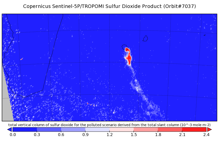
Sentinel-5P TROPOMI Near-Real-Time (NRT) Sulphur Dioxide SO2 1-Orbit L2 5.5km x 3.5km V2 (S5P_L2__SO2____HiR_NRT) at GES DISC
National Aeronautics and Space Administration —
The Sentinel-5P TROPOMI Near Real Time (NRT) Sulphur Dioxide SO2 1-Orbit L2 5.5km x 3.5km V2 (S5P_L2__SO2_HiRNRT) at GES DISC is the near real time... -
Federal
Terra MODIS Global Mapped Particulate Organic Carbon (POC) - Near Real Time (NRT) Data, version R2022.0 NGDA
National Aeronautics and Space Administration —
The Ocean Biology DAAC produces near real-time (quicklook) products using the best-available combination of ancillary data from meteorological and ozone data. As... -
Federal
US EPA Nonattainment Areas and Designations-8 Hour Ozone (2008 NAAQS)
U.S. Environmental Protection Agency —
This web service contains the following layers: Ozone 2008 NAAQS NAA State Level and Ozone 2008 NAAQS NAA National Level. Full FGDC metadata records for each layer... -
Federal
IRIS/Nimbus-4 Level 1 Radiance Data V001 (IRISN4RAD) at GES DISC
National Aeronautics and Space Administration —
The Nimbus-4 Infrared Interferometer Spectrometer (IRIS) Level 1 Radiance Data contain thermal emissions of the Earth's atmosphere at wave numbers between 400 and... -
Federal
Sentinel-5P TROPOMI Sulphur Dioxide SO2 1-Orbit L2 7km x 3.5km V1 (S5P_L2__SO2___) at GES DISC
National Aeronautics and Space Administration —
Starting from August 6th in 2019, Sentinel-5P TROPOMI along-track high spatial resolution (~5.5km at nadir) has been implemented. Starting from July 13th in 2020,... -
Federal
Nonattainment Area - 8 hr Ozone (2015 Standard)
Department of Transportation —
The Nonattainment Area - 8 hr ozone (2015) dataset was updated on January 31, 2026 by the Environmental Protection Agency (EPA) and is part of the U.S. Department of... -
Federal
Sentinel-5P TROPOMI Tropospheric NO2 1-Orbit L2 7km x 3.5km V1 (S5P_L2__NO2___) at GES DISC
National Aeronautics and Space Administration —
Starting from August 6th in 2019, Sentinel-5P TROPOMI along-track high spatial resolution (~5.5km at nadir) has been implemented. For data after August 6th of 2019,... -
Federal
Global Ensemble Forecast System (GEFS) 1.0 Degree
National Oceanic and Atmospheric Administration, Department of Commerce —
The Global Ensemble Forecast System (GEFS) is a weather forecast model made up of 21 separate forecasts, or ensemble members. The National Centers for Environmental... -
Federal
GOES-R Surface and Insolation Products
National Oceanic and Atmospheric Administration, Department of Commerce —
GOES Surface and Insolation Products - The GOES Surface and Insolation Products (GSIP) is a high spatial resolution (1/8 x 1/8 degrees) solar radiation product... -
Federal
US EPA Nonattainment Areas and Designations-Annual PM2.5 (1997 NAAQS)
U.S. Environmental Protection Agency —
This web service contains the following layers: PM2.5 Annual 1997 NAAQS State Level and PM2.5 Annual 1997 NAAQS National . It also contains the following tables:... -
Federal
Sentinel-3A OLCI Level-3B Global Binned Earth-observation Reduced-Resolution (ERR) Inherent Optical Properties (IOP), Near Real-time (NRT) Data, version R2022.0
National Aeronautics and Space Administration —
The Ocean Biology DAAC produces near real-time (quicklook) products using the best-available combination of ancillary data from meteorological and ozone data. As... -
Federal
NOAA-20 VIIRS Global Binned Chlorophyll (CHL) - NRT Data, version R2022.0
National Aeronautics and Space Administration —
The Ocean Biology DAAC produces near real-time (quicklook) products using the best-available combination of ancillary data from meteorological and ozone data. As...

Official websites use .gov
A
.gov website belongs to an official government
organization in the United States.
Secure .gov websites use HTTPS
A
lock (
) or https:// means you’ve safely connected to
the .gov website. Share sensitive information only on official,
secure websites.