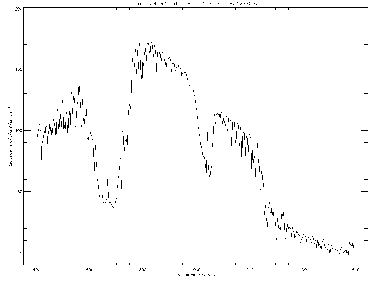
IRIS/Nimbus-4 Level 1 Radiance Data V001 (IRISN4RAD) at GES DISC
Access & Use Information
Downloads & Resources
-
Get a related visualizationPNG
IRISN4RAD_001.png
-
This dataset's landing pageHTML
Access the dataset landing page from the GES DISC website.
-
Download this dataset through a directory mapHTML
Access the data via HTTPS.
-
Download this dataset through Earthdata SearchHTML
Use the Earthdata Search to find and retrieve data sets across multiple data...
-
View this dataset's read me documentPDF
README Document
-
View this dataset's user's guidePDF
Nimbus 4 User's Guide
-
View documentation related to this datasetGZ
Nimbus 4 Data Catalog
-
View documentation related to this datasetHTML
N4 IRIS Inventory
-
Landing PageLanding Page
Dates
| Metadata Created Date | November 12, 2020 |
|---|---|
| Metadata Updated Date | December 6, 2023 |
Metadata Source
- Data.json Data.json Metadata
Harvested from NASA Data.json
Graphic Preview

Additional Metadata
| Resource Type | Dataset |
|---|---|
| Metadata Created Date | November 12, 2020 |
| Metadata Updated Date | December 6, 2023 |
| Publisher | NASA/GSFC/SED/ESD/GCDC/GESDISC |
| Maintainer | |
| Identifier | C1273652166-GES_DISC |
| Data First Published | 1970-04-09 |
| Language | en-US |
| Data Last Modified | 1971-01-30 |
| Category | Nimbus, geospatial |
| Public Access Level | public |
| Bureau Code | 026:00 |
| Metadata Context | https://project-open-data.cio.gov/v1.1/schema/catalog.jsonld |
| Metadata Catalog ID | https://data.nasa.gov/data.json |
| Schema Version | https://project-open-data.cio.gov/v1.1/schema |
| Catalog Describedby | https://project-open-data.cio.gov/v1.1/schema/catalog.json |
| Citation | Hansel, Rudolf A., et al.. 1994-11-16. IRISN4RAD. Version 001. IRIS/Nimbus-4 Level 1 Radiance Data V001. Greenbelt, MD, USA. Archived by National Aeronautics and Space Administration, U.S. Government, Goddard Earth Sciences Data and Information Services Center (GES DISC). https://disc.gsfc.nasa.gov/datacollection/IRISN4RAD_001.html. Digital Science Data. |
| Creator | Hansel, Rudolf A., et al. |
| Data Presentation Form | Digital Science Data |
| Graphic Preview File | https://docserver.gesdisc.eosdis.nasa.gov/public/project/Images/IRISN4RAD_001.png |
| Harvest Object Id | c35a226e-3194-41af-bab4-4143f7d715a5 |
| Harvest Source Id | 58f92550-7a01-4f00-b1b2-8dc953bd598f |
| Harvest Source Title | NASA Data.json |
| Homepage URL | https://cmr.earthdata.nasa.gov:443/search/concepts/C1273652166-GES_DISC.html |
| Metadata Type | geospatial |
| Old Spatial | -180.0 -90.0 180.0 90.0 |
| Program Code | 026:001 |
| Release Place | Greenbelt, MD, USA |
| Series Name | IRISN4RAD |
| Source Datajson Identifier | True |
| Source Hash | b9f8302fe687dc2fd62c58f7deafcac2de697b05f3692c1fa7dcd34d453f604a |
| Source Schema Version | 1.1 |
| Spatial | |
| Temporal | 1970-04-09T00:00:00Z/1971-01-30T23:59:59.999Z |
Didn't find what you're looking for? Suggest a dataset here.

