
-
Federal
GPM GROUND VALIDATION NOAA CPC MORPHING TECHNIQUE (CMORPH) IPHEX V1
National Aeronautics and Space Administration —
The GPM Ground Validation NOAA CPC Morphing Technique (CMORPH) IPHEx dataset consists of global precipitation analyses data produced by the NOAA Climate Prediction... -
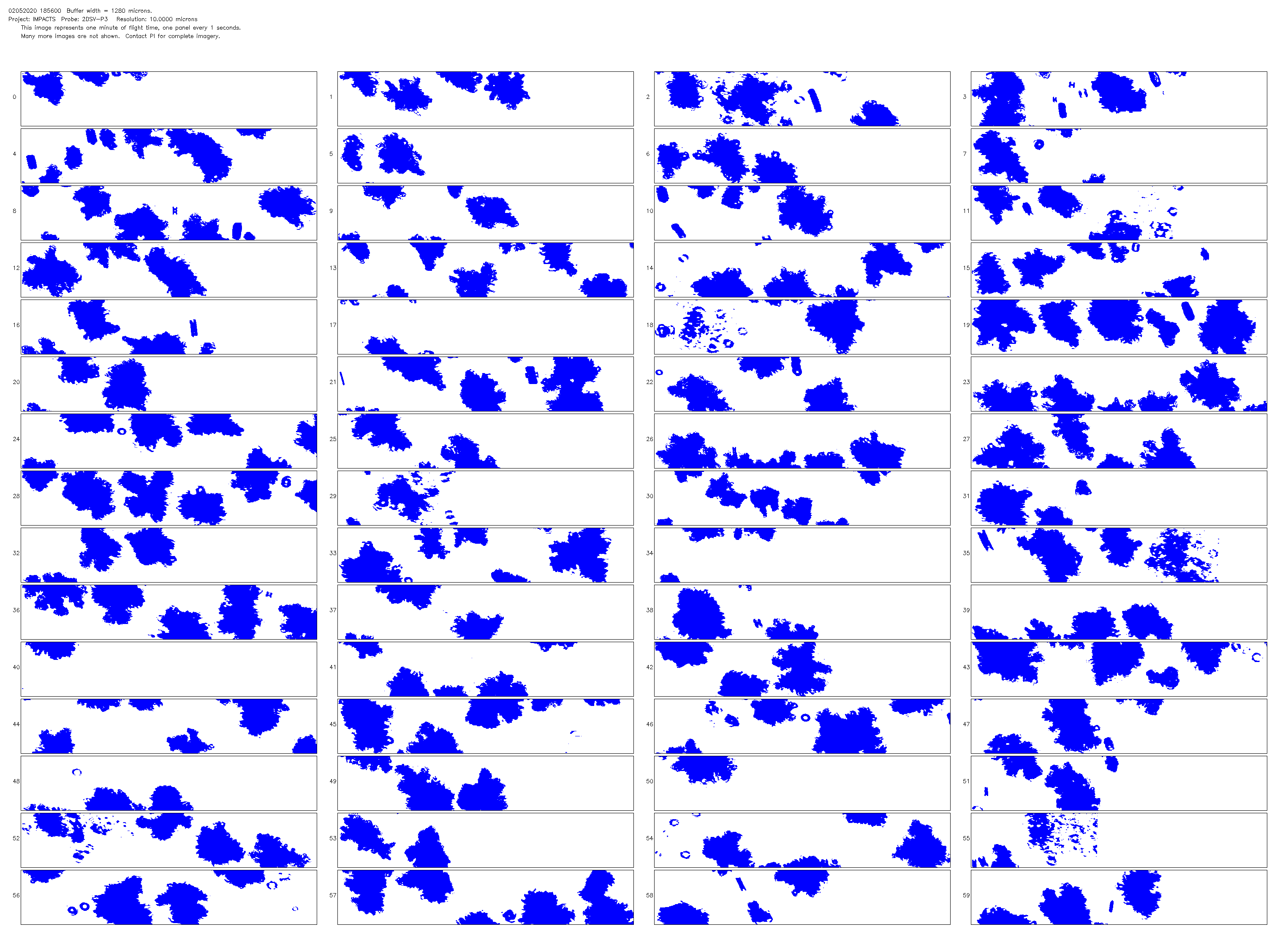
Federal
SBU Pluvio Precipitation Gauge IMPACTS V1
National Aeronautics and Space Administration —
The SBU Pluvio Precipitation Gauge IMPACTS dataset consists of precipitation intensity and precipitation accumulation collected using the OTT Pluvio2 weighing rain... -
Federal
VIIRS Plus DMSP Change in Lights (VIIRS+DMSP dLIGHT)
National Aeronautics and Space Administration —
The VIIRS Plus DMSP Change in Lights (VIIRS+DMSP dLIGHT) data set fuses nighttime lights imagery from the U.S. Air Force Defense Meteorological Satellite Program... -
Federal
SBU Micro Rain Radar 2 (MRR2) IMPACTS V1
National Aeronautics and Space Administration —
The SBU Micro Rain Radar 2 (MRR-2) IMPACTS dataset consists of reflectivity, Doppler velocity, signal-to-noise ratio, spectral width, droplet size, Liquid Water... -
Federal
Cloud Radar System (CRS) IMPACTS V1
National Aeronautics and Space Administration —
The Cloud Radar System (CRS) IMPACTS dataset consists of calibrated radar reflectivity, Doppler velocity, linear depolarization ratio, and normalized radar cross-... -
Federal
High Mountain Asia PyGEM Glacier Projections with RCP Scenarios V001
National Aeronautics and Space Administration —
This data set comprises results from the Python Glacier Evolution Model (PyGEM) that include projections of glacier mass change, glacier runoff, and the various... -
Federal
ER-2 X-band Radar (EXRAD) 3D Winds IMPACTS V1
National Aeronautics and Space Administration —
The ER-2 X-band Radar (EXRAD) 3D Winds IMPACTS dataset consists of horizontal wind components, uncertainties in the horizontal wind components, and radar reflectivity... -
Federal
New York State Mesonet IMPACTS V1
National Aeronautics and Space Administration —
The New York State Mesonet IMPACTS dataset is a browse-only dataset and consists of temperature, wind, wind direction, mean sea level pressure, precipitation, and... -
Federal
NCAR Particle Probes IMPACTS V1
National Aeronautics and Space Administration —
The NCAR Particle Probes IMPACTS dataset consists of data collected from six instruments on the NASA P-3 aircraft, the SPEC Hawkeye Cloud Particle Imager (CPI), the... -
Federal
Turbulent Air Motion Measurement System (TAMMS) IMPACTS V1
National Aeronautics and Space Administration —
The Turbulent Air Motion Measurement System (TAMMS) IMPACTS dataset consists of wind speed, wind direction, and cross wind speed measurements from the TAMMS... -
Federal
P-3 Meteorological and Navigation Data IMPACTS V1
National Aeronautics and Space Administration —
The P-3 Meteorological and Navigation Data IMPACTS dataset is a subset of airborne measurements that include GPS positioning and trajectory data, aircraft... -
Federal
Weather Research and Forecasting (WRF) Model IMPACTS V1
National Aeronautics and Space Administration —
The Weather Research and Forecasting (WRF) Model IMPACTS dataset includes model data simulated by the Weather Research and Forecasting (WRF) model for the... -
Federal
IceBridge Paroscientific L1B Pressure Altimeter Time-Tagged Air Pressure V001
National Aeronautics and Space Administration —
This data set contains static pressure values for Antarctica using the Paroscientific Digiquartz Transmitter. The data were collected by scientists working on the... -
Federal
Global PyGEM-OGGM Glacier Projections with RCP and SSP Scenarios V001
National Aeronautics and Space Administration —
This data set comprises results from a hybrid glacier evolution model that uses the mass balance module of the Python Glacier Evolution Model (PyGEM) and the glacier... -
Federal
OMPS-N21 LP NRT Aerosol Extinction Vertical Profile swath multi-wavelength orbital 3slit
National Aeronautics and Space Administration —
The OMPS-N21 Level 2 LP Aerosol Extinction Vertical Profile swath level 2 3slit (AER) product contains the retrieved aerosol extinction coefficients measured by the... -
Federal
ER-2 Navigation Data IMPACTS V1
National Aeronautics and Space Administration —
The NASA ER-2 Navigation Data IMPACTS dataset contains information recorded by the on-board navigation and data collection systems of the NASA ER-2 high-altitude... -
Federal
GPM Ground Validation Composite Satellite Overpasses OLYMPEX V4
National Aeronautics and Space Administration —
The GPM Ground Validation Composite Satellite Overpasses OLYMPEX dataset provides brightness temperature, precipitation, and total column water vapor estimates from... -
Federal
GOES IMPACTS V1
National Aeronautics and Space Administration —
The GOES IMPACTS dataset consists of single reflective band radiance products from the Advanced Baseline Imager (ABI) onboard the GOES-16 geostationary satellite.... -
Federal
High Altitude Imaging Wind and Rain Airborne Profiler (HIWRAP) IMPACTS V1
National Aeronautics and Space Administration —
The High Altitude Imaging Wind and Rain Airborne Profiler (HIWRAP) IMPACTS dataset consists of Equivalent reflectivity factor, Doppler velocity, Doppler velocity... -
Federal
Automated Surface Observing System (ASOS) IMPACTS V1
National Aeronautics and Space Administration —
The Automated Surface Observing Systems (ASOS) IMPACTS dataset consists of a variety of ground-based observations during the Investigation of Microphysics and...

Official websites use .gov
A
.gov website belongs to an official government
organization in the United States.
Secure .gov websites use HTTPS
A
lock (
) or https:// means you’ve safely connected to
the .gov website. Share sensitive information only on official,
secure websites.