

NCAR Particle Probes IMPACTS V1
Access & Use Information
Downloads & Resources
-
Google Scholar search resultsHTML
Search results for publications that cite this dataset by its DOI.
-
Download this datasetHTML
Files may be downloaded directly to your workstation from this link
-
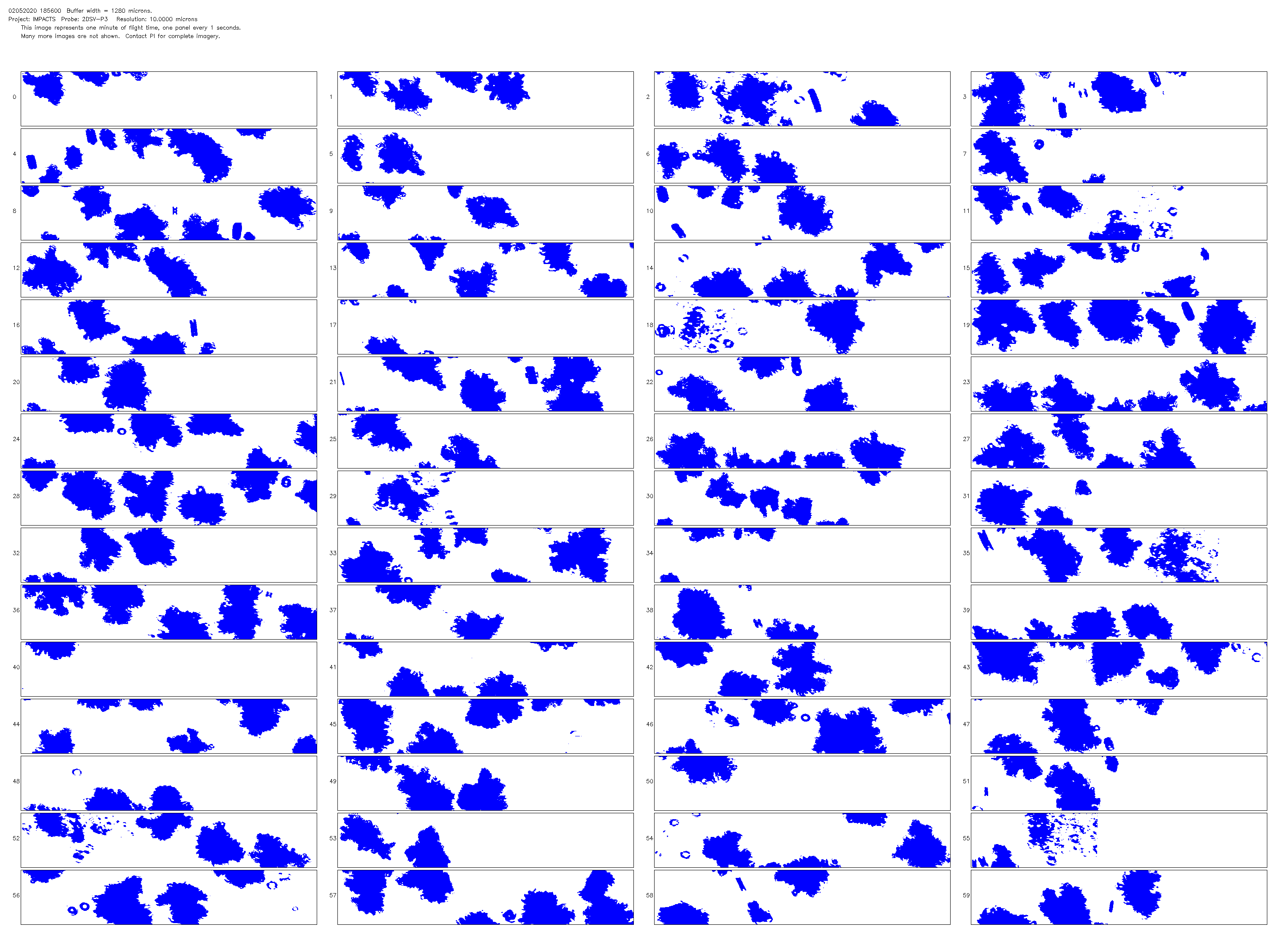
Get a related visualizationPNG
Sample Browse Image
-
View information related to this datasetHTML
IMPACTS Field Campaign Collection DOI
-
View documentation related to this datasetPDF
The guide document contains detailed information about the dataset
-
View this dataset's publicationsHTML
Shattering and Particle Interarrival Times Measured by Optical Array Probes...
-
View this dataset's publicationsHTML
Effective Ice Particle Densities Derived from Aircraft Data
-
View this dataset's publicationsHTML
The 2D-S (Stereo) Probe: Design and Preliminary Tests of a New Airborne,...
-
View this dataset's publicationsHTML
Chasing Snowstorms: The Investigation of Microphysics and Precipitation for...
-
View this dataset's publicationsHTML
Investigation of Microphysics and Precipitation for Atlantic Coast...
-
The dataset's project home pageHTML
IMPACTS Project Home Page
-
View a micro article on this datasetHTML
IMPACTS Field Campaign Micro Article
-
Get a related visualizationHTML
Browse images illustrate the nature and coverage of the data
-
View documentation related to this datasetHTML
Instructions for citing GHRC data
-
Landing PageLanding Page
Dates
| Metadata Created Date | December 1, 2022 |
|---|---|
| Metadata Updated Date | April 10, 2025 |
Metadata Source
- Data.json Data.json Metadata
Harvested from NASA Data.json
Additional Metadata
| Resource Type | Dataset |
|---|---|
| Metadata Created Date | December 1, 2022 |
| Metadata Updated Date | April 10, 2025 |
| Publisher | NASA/MSFC/GHRC |
| Maintainer | |
| Identifier | C1995868627-GHRC_DAAC |
| Data First Published | 2022-03-23 |
| Language | en-US |
| Data Last Modified | 2025-03-31 |
| Category | IMPACTS, geospatial |
| Public Access Level | public |
| Bureau Code | 026:00 |
| Metadata Context | https://project-open-data.cio.gov/v1.1/schema/catalog.jsonld |
| Schema Version | https://project-open-data.cio.gov/v1.1/schema |
| Catalog Describedby | https://project-open-data.cio.gov/v1.1/schema/catalog.json |
| Harvest Object Id | 7b248233-2251-4320-b605-ca9586a28d67 |
| Harvest Source Id | 58f92550-7a01-4f00-b1b2-8dc953bd598f |
| Harvest Source Title | NASA Data.json |
| Homepage URL | https://doi.org/10.5067/IMPACTS/PROBES/DATA101 |
| Metadata Type | geospatial |
| Old Spatial | -90.4287 33.2614 -64.9866 47.2751 |
| Program Code | 026:001 |
| Source Datajson Identifier | True |
| Source Hash | 575daa5d82d3eadff9d2495a82f8f4f40cadd26dd82243988fe8342c5f51275d |
| Source Schema Version | 1.1 |
| Spatial | |
| Temporal | 2020-01-18T18:00:00Z/2022-02-25T19:29:00Z |
Didn't find what you're looking for? Suggest a dataset here.