
-
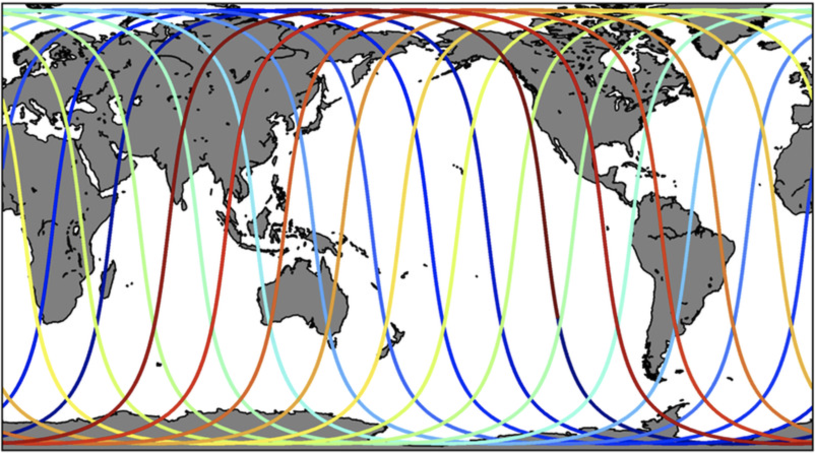
NASA-SSH ENSO Sea Surface Height Indicator
This file contains an indicator for the El Nino-Southern Oscillation (ENSO), based on satellite observations of sea surface height anomaly, measured by radar altimeter missions... -
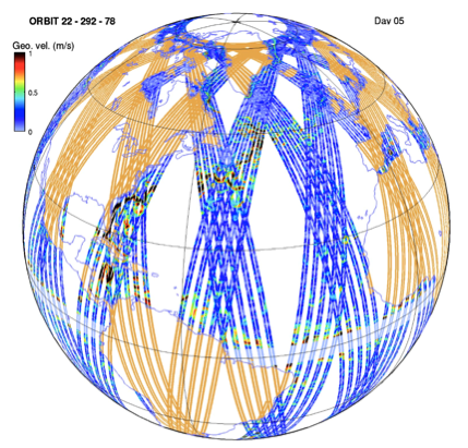
High Resolution Empirical Tide Prediction Software Version 14
This dataset provides sea surface height and ocean surface currents associated with the predictable astronomical tide at the M2, S2, N2, K1, and O1 frequencies. The tidal... -
NASA-SSH IOD Sea Surface Height Indicator
This file contains an indicator for the Indian Ocean Dipole (IOD), based on satellite observations of sea surface height anomaly, measured by radar altimeter missions such as... -
OPERA Dynamic Surface Water Extent from Harmonized Landsat Sentinel-2 provisional product (Version 1)
This dataset contains Level-3 Dynamic OPERA provisional surface water extent product version 1. The data are provisional surface water extent observations beginning April 2023.... -
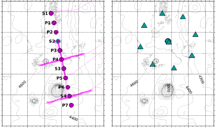
Hourly Ocean Bottom Pressure at the North Pole from the Arctic Bottom Pressure Recorder Follow On Version 1.0
This dataset provides the first year of hourly ocean bottom pressure measurements at the North Pole from the Arctic Bottom Pressure Recorder - Follow On (ABPR-FO) deployed in... -
Harmonic Constants for Baroclinic Tide Prediction
This dataset of Harmonic Constants for Baroclinic Tide Prediction was produced by Edward Zaron (Oregon State University) and Shane Elipot (University of Miami). It provides sea... -
The Lake Observations by Citizen Scientists & Satellites (LOCSS) Level 1 Version 1.0
This dataset contains data from the Lake Observations by Citizen Science and Satellites project, LOCSS which is a lake monitoring network. The data represent the location and... -
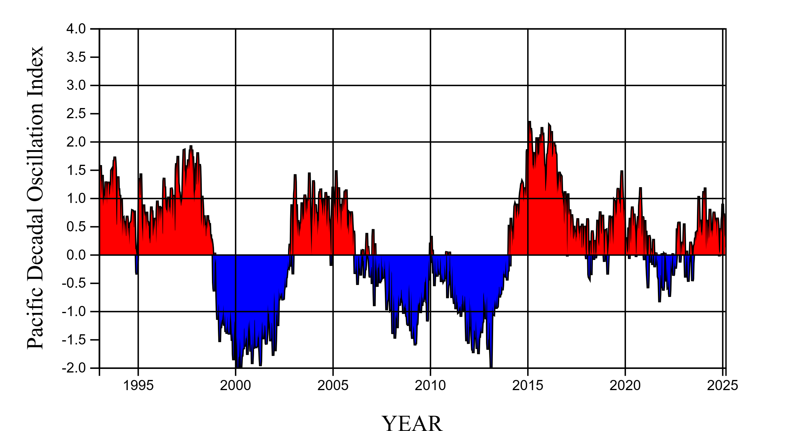
NASA-SSH PDO Sea Surface Height Indicator
This file contains an indicator for the Pacific Decadal Oscillation (PDO), based on satellite observations of sea surface height anomaly, measured by radar altimeter missions... -
Adaptive Sampling of Rain and Ocean Salinity from Autonomous Seagliders (Guam 2019-2020)
This dataset was produced by the Adaptive Sampling of Rain and Ocean Salinity from Autonomous Seagliders (NASA grant NNX17AK07G) project, an investigation to develop tools and...

Official websites use .gov
A
.gov website belongs to an official government
organization in the United States.
Secure .gov websites use HTTPS
A
lock (
) or https:// means you’ve safely connected to
the .gov website. Share sensitive information only on official,
secure websites.