

SWOT Simulated Level-2 KaRIn SSH from GLORYS for Cal/Val Version 1
Access & Use Information
Public: This dataset is intended for public access and use.
License: No license information was provided. If this work was prepared by an officer or employee of the United States government as part of that person's official duties it is considered a U.S. Government Work.
Downloads & Resources
-
Data Information (Unknown Format)BIN
-
Data Information (Unknown Format)BIN
-
Data Information (Unknown Format)BIN
-
Data Information (Unknown Format)BIN
-
Data Information (PDF)PDF
D-56407_SWOT_Product_Description_L2_LR_SSH_20200806.pdf
-
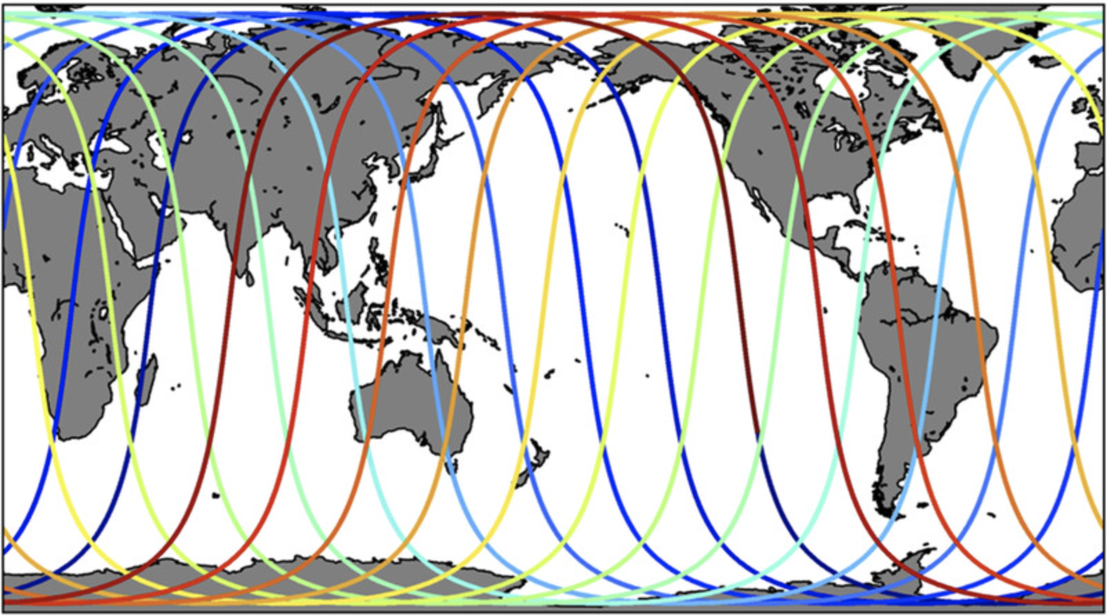
Data Information (PNG)PNG
SWOT_SIMULATED_L2_KARIN_SSH_GLORYS_CALVAL_V1.png
-
Landing PageLanding Page
Dates
| Metadata Created Date | April 11, 2025 |
|---|---|
| Metadata Updated Date | September 18, 2025 |
Metadata Source
- Data.json Data.json Metadata
Harvested from NASA Data.json
Additional Metadata
| Resource Type | Dataset |
|---|---|
| Metadata Created Date | April 11, 2025 |
| Metadata Updated Date | September 18, 2025 |
| Publisher | NASA/JPL/PODAAC |
| Maintainer | |
| Identifier | 10.5067/KARIN-2GLC1 |
| Data Last Modified | 2025-09-11 |
| Category | Earth Science |
| Public Access Level | public |
| Bureau Code | 026:00 |
| Metadata Context | https://project-open-data.cio.gov/v1.1/schema/catalog.jsonld |
| Schema Version | https://project-open-data.cio.gov/v1.1/schema |
| Catalog Describedby | https://project-open-data.cio.gov/v1.1/schema/catalog.json |
| Harvest Object Id | f67585a6-dcc3-4aa0-a53f-0b5b7628e64e |
| Harvest Source Id | 58f92550-7a01-4f00-b1b2-8dc953bd598f |
| Harvest Source Title | NASA Data.json |
| Homepage URL | https://podaac.jpl.nasa.gov/CitingPODAAC |
| Old Spatial | "CARTESIAN",{"NorthBoundingCoordinate":77.6,"WestBoundingCoordinate":-180.0,"EastBoundingCoordinate":180.0,"SouthBoundingCoordinate":-77.6}, Maximum Depth;Minimum Depth, 6134.5;0 |
| Program Code | 026:000 |
| Source Datajson Identifier | True |
| Source Hash | 8c1377c53f5b683326cdd55eb9e6c08f1630f50e4a316b2c376fcb8af00c9e09 |
| Source Schema Version | 1.1 |
| Spatial | |
| Temporal | 2014-04-12/2014-04-12 |
Didn't find what you're looking for? Suggest a dataset here.