
-
ISLSCP II Ecosystem Rooting Depths NGDA recent views
The goal of this study was to predict the global distribution of plant rooting depths based on data about global aboveground vegetation structure and climate. Vertical root... -
MODIS-derived Vegetation and Albedo Parameters for Agroecosystem-Climate Modeling NGDA recent views
This dataset provides MODIS-derived leaf area index (LAI), stem area index (SAI), vegetation area fraction, dominant landcover category, and albedo parameters for the... -
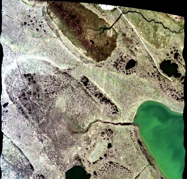
ISLSCP II MODIS (Collection 4) Albedo, 2002 NGDA recent views
This International Satellite Land Surface Climatology Project (ISLSCP II) MODerate resolution Image Spectroradiometer (MODIS) dataset, ISLSCP II MODIS (Collection 4) Albedo... -
Land Surface Model (LSM 1.0) for Ecological, Hydrological, Atmospheric Studies recent views
The NCAR LSM 1.0 is a land surface model developed to examine biogeophysical and biogeochemical land-atmosphere interactions, especially the effects of land surfaces on climate... -
ABoVE: Photochemical Reflectance and Tree Growth, Brooks Range, Alaska, 2018-2019 recent views
This dataset provides simultaneous in-situ measurements of the photochemical reflectance index (PRI) and radial tree growth of selected white spruce trees (Picea glauca (Moench)... -
Global MODIS and FLUXNET-derived Daily Gross Primary Production, V2 NGDA recent views
This dataset provides global gridded daily estimates of gross primary production (GPP) and uncertainties at 0.05-degree resolution for the period 2000-03-01 to the recent past.... -
LBA-ECO CD-34 Hyperion 30-m Surface Reflectance, Amazon Basin: 2002-2005 recent views
This data set contains 20 multispectral surface reflectance images collected by the EO-1 satellite Hyperion sensor at 30-m resolution and covering the entire Amazon Basin for... -
Global High-Resolution Estimates of SIF from Fused SCIAMACHY and GOME-2, V2 recent views
This dataset provides global solar-induced chlorophyll fluorescence (SIF) estimates at a 0.05-degree resolution (approximately 5 km at the equator) for each month from January... -
Delta-X: AVIRIS-NG L2 Surface Reflectance, MRD Louisiana, 2021 recent views
This dataset provides Level 2 (L2) atmospherically corrected surface reflectance data acquired from NASA's Airborne Visible-Infrared Imaging Spectrometer-Next Generation... -
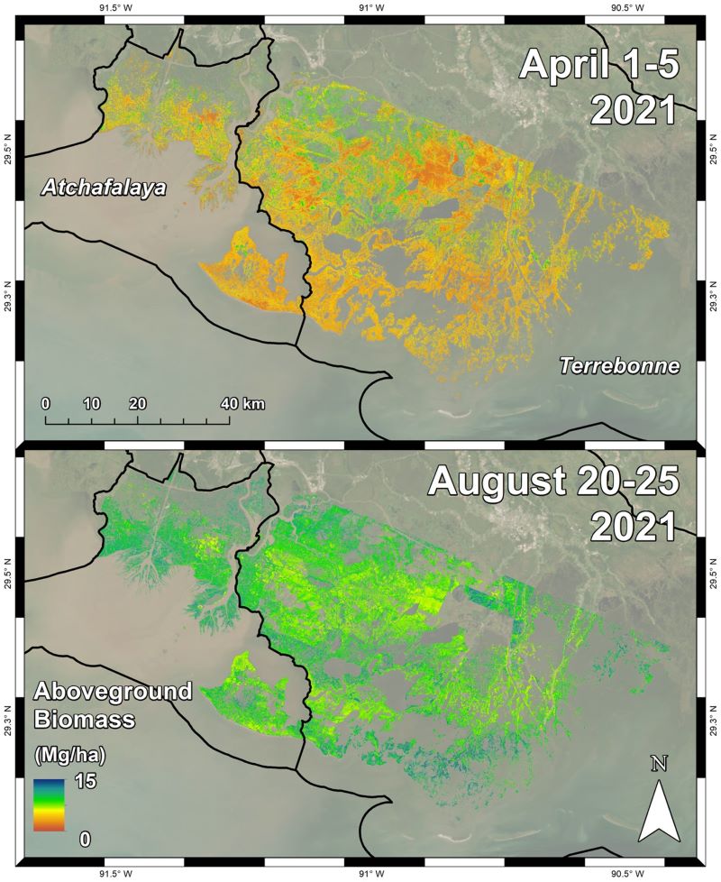
Delta-X: AVIRIS-NG L3 Derived Aboveground Biomass, MRD, Louisiana, USA, 2021, V2 recent views
This dataset includes high-resolution (~5 m) gridded estimates of herbaceous aboveground biomass (AGB) for the Atchafalaya and Terrebonne basins of the Mississippi River Delta... -
ISLSCP II Historical Croplands Cover, 1700-1992 NGDA recent views
The Historical Croplands Cover data set was developed to understand the consequences of historical changes in land use and land cover for ecosystem goods and services. In... -
L2 Daily Solar-Induced Fluorescence (SIF) from MetOp-A GOME-2, 2007-2018, V2 recent views
This dataset provides Level 2 (L2) Solar-Induced Fluorescence (SIF) of chlorophyll estimates derived from the Global Ozone Monitoring Experiment 2 (GOME-2) instrument on the... -
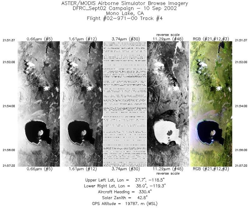
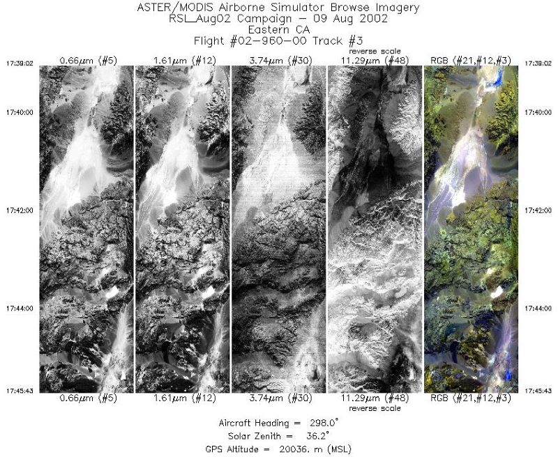
Hyperspectral Imagery from AVIRIS-NG for Sites in ID and CA, USA, 2014 and 2015 recent views
This dataset provides surface reflectance measured by the Airborne Visible/Infrared Imaging Spectrometer-Next Generation (AVIRIS-NG) instrument during flights over research... -
ISLSCP II C4 Vegetation Percentage NGDA recent views
The photosynthetic composition (C3 or C4) of vegetation on the land surface is essential for accurate simulations of biosphere-atmosphere exchanges of carbon, water, and energy.... -
ABoVE: Monthly Hydrological Fluxes for Canada and Alaska, 1979-2018 recent views
This dataset provides modeled estimates of monthly hydrological fluxes at 0.25-degree resolution over Alaska and Canada for the years 1979-2018. The estimates were derived from... -
SHIFT: HyTES L2 Geolocated Land Surface Temperature and Emissivity, March 23 2022 recent views
This dataset holds Level 2 (L2) data for surface emissivity and land surface temperature (LST) collected by the Hyperspectral Thermal Emission Spectrometer (HyTES) instrument.... -
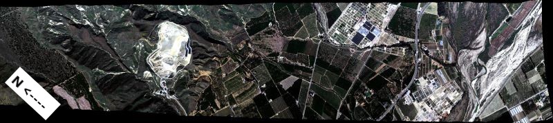
ABoVE: AVIRIS-NG Imaging Spectroscopy for Alaska, Canada, and Iceland, 2017-2022, V3 recent views
This dataset supersedes the previously published ABoVE AVIRIS-NG Level 2 surface reflectance files for 2017-2019 surveys of Alaska and northwestern Canada. It also includes...

Official websites use .gov
A
.gov website belongs to an official government
organization in the United States.
Secure .gov websites use HTTPS
A
lock (
) or https:// means you’ve safely connected to
the .gov website. Share sensitive information only on official,
secure websites.