

sest_5_0_5.png
URL: https://gdr.openei.org/files/622/sest_5_0_5.png
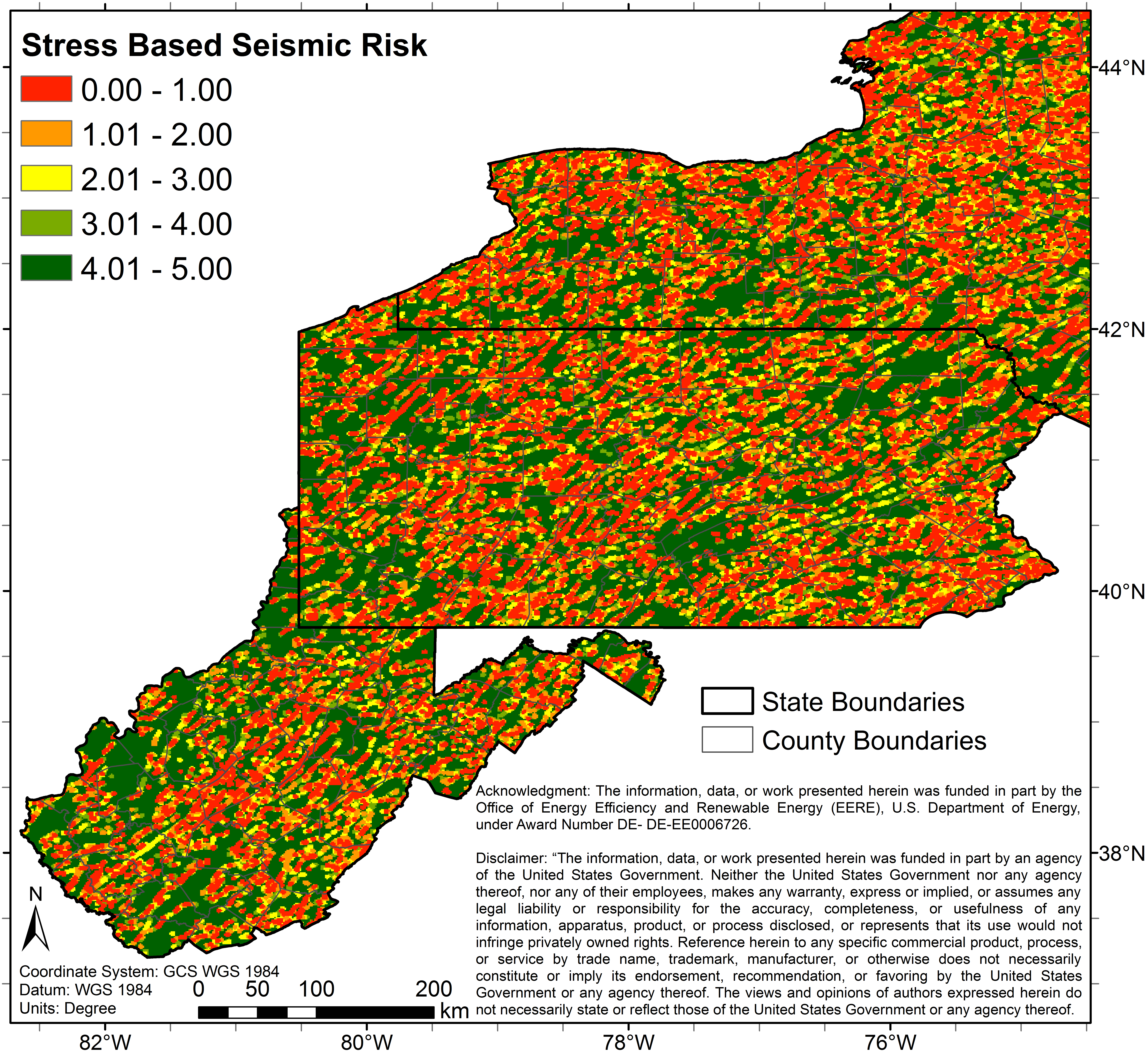
5 color map (Image File) of study area depicting predicted seismic (stress angle based) risk.
About this Resource
| Last updated | unknown |
|---|---|
| Created | unknown |
| Name | sest_5_0_5.png |
| Format | PNG Image File |
| License | Creative Commons Attribution |
| Created | 1 year ago |
| Media type | image/png |
| has views | True |
| id | 52802a2b-16de-44c3-9e24-24d61e13f342 |
| metadata modified | 1 year ago |
| package id | ceeee8a9-ee82-4393-ba02-290ffa753718 |
| position | 70 |
| state | active |
| tracking summary | {'total': 0, 'recent': 0} |