

GPM Ground Validation Conical Scanning Millimeter-wave Imaging Radiometer (CoSMIR) OLYMPEX V1
Access & Use Information
Downloads & Resources
-
Google Scholar search resultsHTML
Search results for publications that cite this dataset by its DOI.
-
Download this datasetHTML
Files may be downloaded directly to your workstation from this link
-
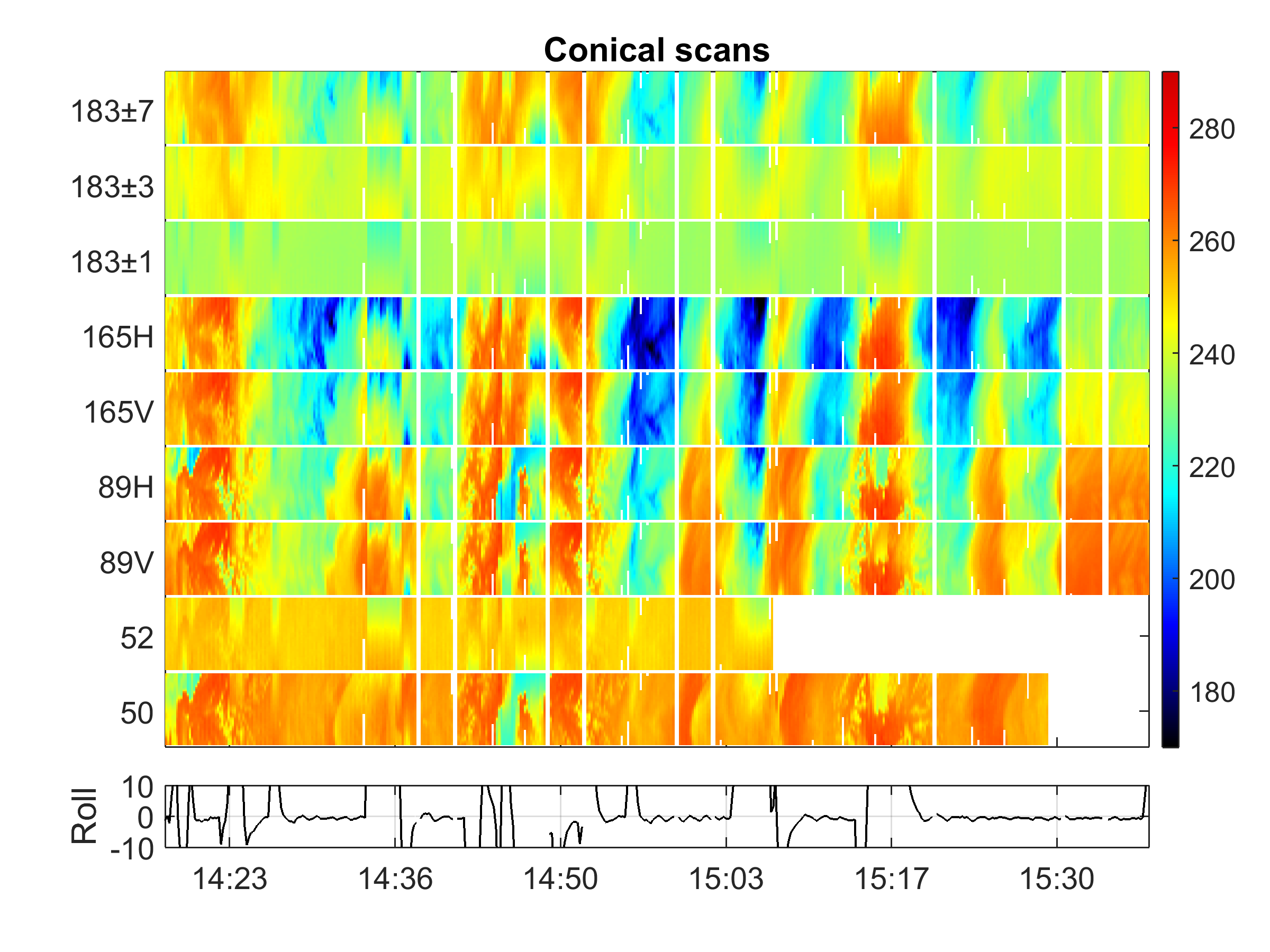
Get a related visualizationPNG
Sample Browse Image
-
View information related to this datasetHTML
OLYMPEX Field Campaign Collection DOI
-
View information related to this datasetHTML
University of Washington OLYMPEX project web site
-
View documentation related to this datasetPDF
The guide document contains detailed information about the dataset
-
View the primary investigator's documentation...HTML
OLYMPEX CoSMIR data ReadMe file
-
View this dataset's publicationsHTML
Observations of Storm Signatures by the Recently Modified Conical Scanning...
-
View this dataset's publicationsHTML
Airborne CoSMIR Observations Between 50 and 183 GHz over Snow-Covered Sierra...
-
View this dataset's publicationsHTML
A comparison of Near Concurrent Measurements from the SSMIS and CoSMIR for...
-
View this dataset's publicationsHTML
The Olympic Mountains Experiment (OLYMPEX)
-
The dataset's project home pageHTML
GHRC OLYMPEX project web page
-
View a micro article on this datasetHTML
Olympic Mountains Experiment (OLYMPEX) Micro Article
-
View documentation related to this datasetHTML
Instructions for citing GHRC data
-
Landing PageLanding Page
Dates
| Metadata Created Date | December 1, 2022 |
|---|---|
| Metadata Updated Date | August 30, 2025 |
Metadata Source
- Data.json Data.json Metadata
Harvested from NASA Data.json
Additional Metadata
| Resource Type | Dataset |
|---|---|
| Metadata Created Date | December 1, 2022 |
| Metadata Updated Date | August 30, 2025 |
| Publisher | NASA/MSFC/GHRC |
| Maintainer | |
| Identifier | C1979138680-GHRC_DAAC |
| Data First Published | 2017-09-15 |
| Language | en-US |
| Data Last Modified | 2025-03-31 |
| Category | OLYMPEX, geospatial |
| Public Access Level | public |
| Bureau Code | 026:00 |
| Metadata Context | https://project-open-data.cio.gov/v1.1/schema/catalog.jsonld |
| Schema Version | https://project-open-data.cio.gov/v1.1/schema |
| Catalog Describedby | https://project-open-data.cio.gov/v1.1/schema/catalog.json |
| Harvest Object Id | 395105c3-b75e-417f-8872-0fb33bb9a51c |
| Harvest Source Id | 58f92550-7a01-4f00-b1b2-8dc953bd598f |
| Harvest Source Title | NASA Data.json |
| Homepage URL | https://doi.org/10.5067/GPMGV/OLYMPEX/COSMIR/DATA301 |
| Metadata Type | geospatial |
| Old Spatial | -129.622 29.9313 -117.697 49.7371 |
| Program Code | 026:001 |
| Source Datajson Identifier | True |
| Source Hash | 74bcfa098131f06025845f2ff6f28fd5abbaa75e70a0ce385d3b3c9ae94714d8 |
| Source Schema Version | 1.1 |
| Spatial | |
| Temporal | 2015-11-05T00:00:00Z/2015-12-19T23:59:59Z |
Didn't find what you're looking for? Suggest a dataset here.