

AMPR BRIGHTNESS TEMPERATURE CAPE EXPERIMENT V2
Access & Use Information
Downloads & Resources
-
Google Scholar search resultsHTML
Search results for publications that cite this dataset by its DOI.
-
Download this datasetHTML
Files may be downloaded directly to your workstation from this link
-
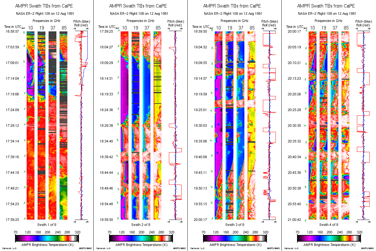
Get a related visualizationGIF
Sample browse image
-
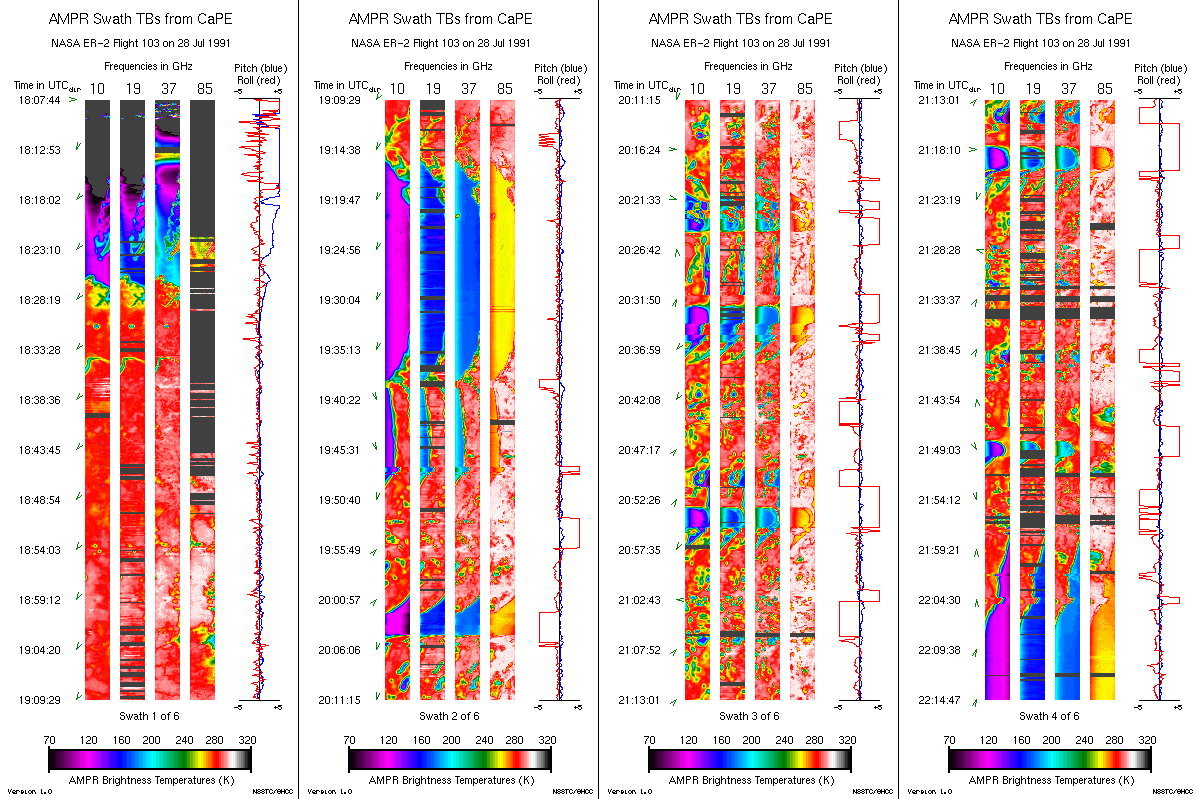
Get a related visualizationGIF
Sample browse image
-
View documentation related to this datasetHTML
The guide document contains detailed information about the dataset
-
View the primary investigator's documentation...PDF
Brief Instrument Description of the Advanced Microwave Precipitation...
-
Downloadable software applicationsHTML
Example program to read AMPR data from a text file into arrays
-
The dataset's project home pageHTML
The home page for the project or program which sponsored the dataset
-
Get a related visualizationHTML
N/A
-
View documentation related to this datasetHTML
Instructions for citing GHRC data
-
Landing PageLanding Page
Dates
| Metadata Created Date | December 1, 2022 |
|---|---|
| Metadata Updated Date | December 6, 2023 |
Metadata Source
- Data.json Data.json Metadata
Harvested from NASA Data.json
Graphic Preview
Additional Metadata
| Resource Type | Dataset |
|---|---|
| Metadata Created Date | December 1, 2022 |
| Metadata Updated Date | December 6, 2023 |
| Publisher | NASA/MSFC/GHRC |
| Maintainer | |
| Identifier | C1977858384-GHRC_DAAC |
| Data First Published | 1996-12-13 |
| Language | en-US |
| Data Last Modified | 2022-04-28 |
| Category | CaPE, geospatial |
| Public Access Level | public |
| Bureau Code | 026:00 |
| Metadata Context | https://project-open-data.cio.gov/v1.1/schema/catalog.jsonld |
| Metadata Catalog ID | https://data.nasa.gov/data.json |
| Schema Version | https://project-open-data.cio.gov/v1.1/schema |
| Catalog Describedby | https://project-open-data.cio.gov/v1.1/schema/catalog.json |
| Citation | Petersen, Walter A and Timothy Lang.1996. AMPR BRIGHTNESS TEMPERATURE CAPE EXPERIMENT indicate subset used. Dataset available online from the NASA Global Hydrometeorology Resource Center DAAC, Huntsville, Alabama, U.S.A. DOI: http://dx.doi.org/10.5067/CAPE/AMPR/DATA101 |
| Graphic Preview Description | N/A |
| Graphic Preview File | https://ghrc.nsstc.nasa.gov/pub/fieldCampaigns/ampr/cape/browse/ |
| Harvest Object Id | 9ffb641c-aaf8-4d50-82b3-5d14cd7bfa32 |
| Harvest Source Id | 58f92550-7a01-4f00-b1b2-8dc953bd598f |
| Harvest Source Title | NASA Data.json |
| Homepage URL | https://doi.org/10.5067/CAPE/AMPR/DATA101 |
| Metadata Type | geospatial |
| Old Spatial | -83.2024 0.0 12.6618 38.1879 |
| Program Code | 026:001 |
| Source Datajson Identifier | True |
| Source Hash | c7948016debe86e4a6a087dcdb7e63217aefe423690a6f661b0aa083be490a5d |
| Source Schema Version | 1.1 |
| Spatial | |
| Temporal | 1991-07-21T01:22:37Z/1991-08-16T14:47:18Z |
Didn't find what you're looking for? Suggest a dataset here.