

ADVANCED MICROWAVE SOUNDING UNIT-A (AMSU-A) SWATH FROM NOAA-17 V1
Access & Use Information
Public: This dataset is intended for public access and use.
License: No license information was provided. If this work was prepared by an officer or employee of the United States government as part of that person's official duties it is considered a U.S. Government Work.
Downloads & Resources
-
Google Scholar search resultsHTML
Search results for publications that cite this dataset by its DOI.
-
Download this datasetHTML
Files may be downloaded directly to your workstation from this link
-
Get a related visualizationPNG
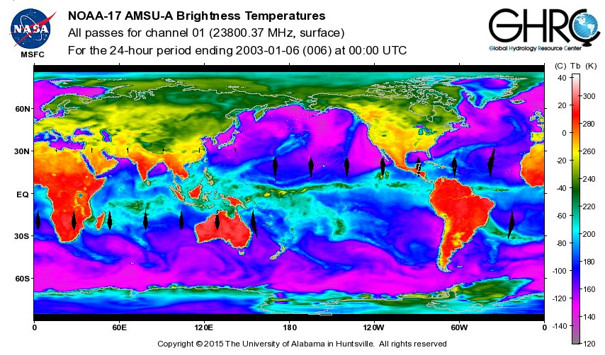
Sample browse image
-
View documentation related to this datasetHTML
The guide document contains detailed information about the dataset
-
Downloadable software applicationsHTML
PROGRAM - Reads the Nth scan line from the given file, or the first if "N" is...
-
Get a related visualizationHTML
N/A
-
View documentation related to this datasetHTML
Instructions for citing GHRC data
-
Landing PageLanding Page
Dates
| Metadata Created Date | December 1, 2022 |
|---|---|
| Metadata Updated Date | April 11, 2025 |
Metadata Source
- Data.json Data.json Metadata
Harvested from NASA Data.json
Additional Metadata
| Resource Type | Dataset |
|---|---|
| Metadata Created Date | December 1, 2022 |
| Metadata Updated Date | April 11, 2025 |
| Publisher | NASA/MSFC/GHRC |
| Maintainer | |
| Identifier | C1979975136-GHRC_DAAC |
| Data First Published | 2003-06-11 |
| Language | en-US |
| Data Last Modified | 2025-04-01 |
| Category | NOT APPLICABLE, geospatial |
| Public Access Level | public |
| Bureau Code | 026:00 |
| Metadata Context | https://project-open-data.cio.gov/v1.1/schema/catalog.jsonld |
| Schema Version | https://project-open-data.cio.gov/v1.1/schema |
| Catalog Describedby | https://project-open-data.cio.gov/v1.1/schema/catalog.json |
| Harvest Object Id | e387622b-bcd2-48d1-8b2d-47249ba6d762 |
| Harvest Source Id | 58f92550-7a01-4f00-b1b2-8dc953bd598f |
| Harvest Source Title | NASA Data.json |
| Homepage URL | https://doi.org/10.5067/GHRC/AMSU-A/DATA203 |
| Metadata Type | geospatial |
| Old Spatial | -180.0 -89.575 180.0 89.629 |
| Program Code | 026:001 |
| Source Datajson Identifier | True |
| Source Hash | a7bc1898d2c7cc31a899797c94170144c993d5416afc0dfd340aea0a4a21d4ba |
| Source Schema Version | 1.1 |
| Spatial | |
| Temporal | 2002-07-21T00:53:50Z/2003-12-13T01:24:45Z |
Didn't find what you're looking for? Suggest a dataset here.