
-
Federal
U.S. Local Climatological Data (LCD)
National Oceanic and Atmospheric Administration, Department of Commerce —
Local Climatological Data (LCD) are summaries of climatological conditions from airport and other prominent weather stations managed by NWS, FAA, and DOD. The product... -
Federal
5-Minute Surface Weather Observations from the Automated Surface Observing Systems (ASOS) Network
National Oceanic and Atmospheric Administration, Department of Commerce —
This dataset includes five-minute reports with elements for wind speed and direction, visibility, present weather, temperature, dew point temperature, station... -
Federal
Tides and Currents Map: an interactive map of all CO-OPS stations NGDA
National Oceanic and Atmospheric Administration, Department of Commerce —
This interactive map has many features designed to provide a quick and easy way to find a Center for Operational Oceanographic Products and Services (CO-OPS) station.... -
Federal
Integrated Surface Dataset (Global) (Version Superseded)
National Oceanic and Atmospheric Administration, Department of Commerce —
This version has been superseded by a newer version. It is highly recommended for users to access the current version. Users should only access this superseded... -
Federal
Global Forecast System (GFS) 1.0 Degree
National Oceanic and Atmospheric Administration, Department of Commerce —
The Global Forecast System (GFS) is a weather forecast model produced by the National Centers for Environmental Prediction (NCEP). Dozens of atmospheric and land-soil... -
Federal
Global Data Assimilation System (GDAS)
National Oceanic and Atmospheric Administration, Department of Commerce —
The Global Data Assimilation System (GDAS) is the system used by the Global Forecast System (GFS) model to place observations into a gridded model space for the... -
Federal
Monitoring of Double-Stud Wall Moisture Conditions in the Northeast
Department of Energy —
BSC TO5 Task 2.2 Monitoring of Double Stud Wall Moisture Conditions in the Northeast Field test data available for wood moisture contents, temperature, and relative... -
Federal
North American Mesoscale Forecast System (NAM) [12 km]
National Oceanic and Atmospheric Administration, Department of Commerce —
The North American Mesoscale Forecast System (NAM) is one of the major regional weather forecast models run by the National Centers for Environmental Prediction... -
Federal
Integrated Global Radiosonde Archive (IGRA), Version 2
National Oceanic and Atmospheric Administration, Department of Commerce —
Integrated Global Radiosonde Archive (IGRA) Version 2 consists of quality-controlled radiosonde observations of temperature, humidity, and wind at stations across all... -
Federal
Global Ensemble Forecast System (GEFS) 1.0 Degree
National Oceanic and Atmospheric Administration, Department of Commerce —
The Global Ensemble Forecast System (GEFS) is a weather forecast model made up of 21 separate forecasts, or ensemble members. The National Centers for Environmental... -
Federal
National Weather Service Raw Upper Air Observational Data - Monthly
National Oceanic and Atmospheric Administration, Department of Commerce —
These National Weather Service (NWS) raw upper air data contain flight data from sites monthly. Majority are Radiosonde Replacement System (RRS) sites, spanning about... -
Federal
NCEP/NCAR Reanalysis (1948-present)
National Oceanic and Atmospheric Administration, Department of Commerce —
The NCEP/NCAR Reanalysis 1 project is using a state-of-the-art analysis/forecast system to perform data assimilation using past data from 1948 to the present. Data is... -
Federal
NREL National Wind Technology Center (NWTC): M2 Tower; Boulder, Colorado (Data)
Department of Energy —
The National Wind Technology Center (NWTC), located at the foot of the Rocky Mountains near Boulder, Colorado, is a world-class research facility managed by NREL for... -
Federal
United States Climate Reference Network (USCRN) Raw Data Transmitted from Satellite
National Oceanic and Atmospheric Administration, Department of Commerce —
USCRN Raw Transmitted Data is level 0 data received from the USCRN stations that are transmitted continuously. The data values are ingested with a unique 18-bit... -
Federal
Multifamily Programmable Thermostat Data
Department of Energy —
This data set, compiled by the Fraunhofer Center for Sustainable Energy Systems, includes long-term 10-minute temperature and relative humidity data, and HVAC system... -
Federal
Empire Wind Met Buoy - Historical Data
National Oceanic and Atmospheric Administration, Department of Commerce —
This dataset contains observations to support the development of the Empire Wind Offshore Wind Project and to further understanding of metocean conditions off the... -
Federal
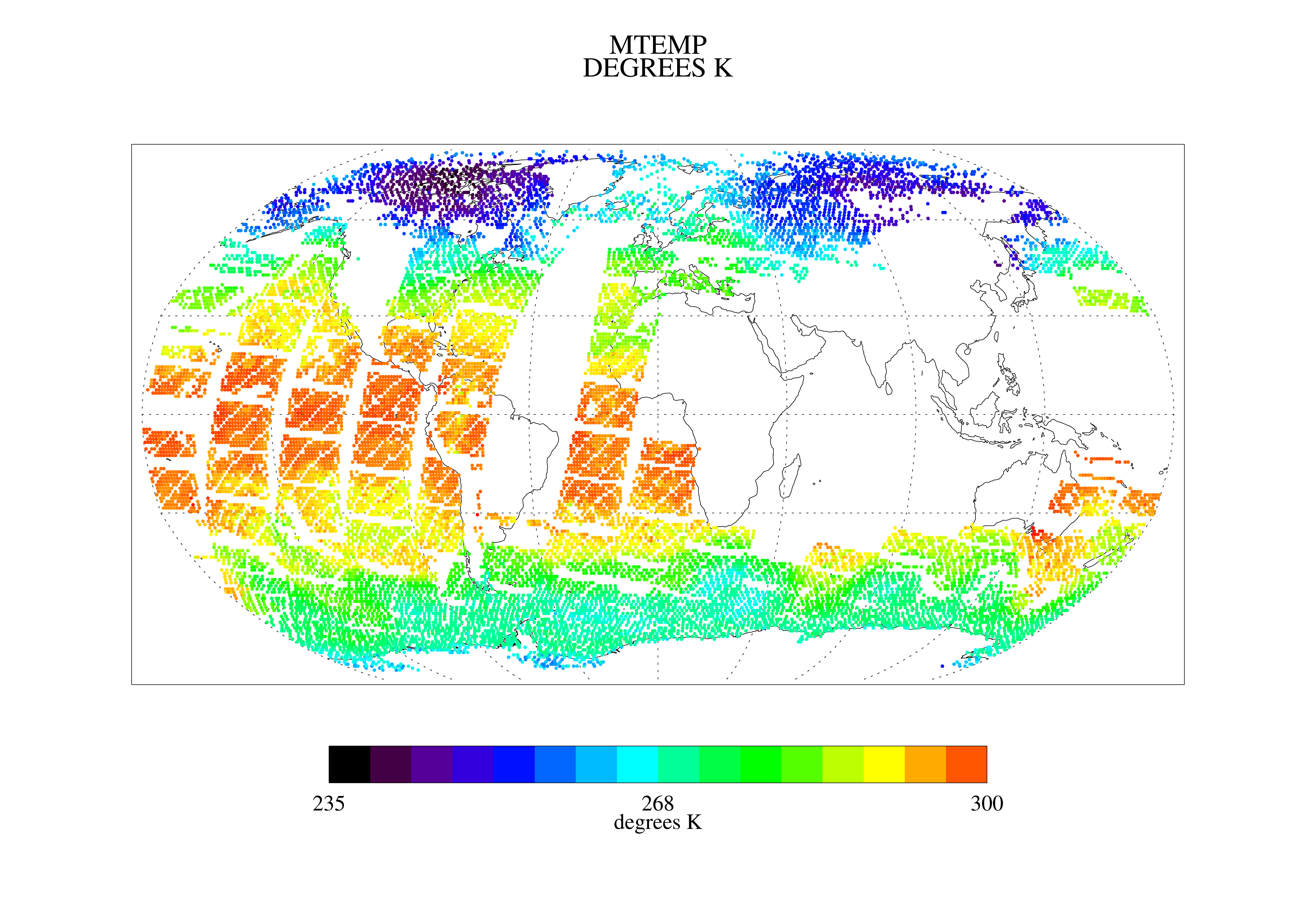
TOVS GLA DAILY GRIDS from NOAA-11 V01 (TOVSADNH) at GES DISC
National Aeronautics and Space Administration —
This dataset (TOVSADNH) contains the TIROS Operational Vertical Sounder (TOVS) level 3 geophysical parameters derived using data from NOAA-11 and the physical... -
Federal
Global Forecast System (GFS) 0.5 Degree
National Oceanic and Atmospheric Administration, Department of Commerce —
The Global Forecast System (GFS) is a weather forecast model produced by the National Centers for Environmental Prediction (NCEP). Dozens of atmospheric and land-soil... -
Federal
NOAA/NCEP Global Forecast System (GFS) Atmospheric Model: Pacific
National Oceanic and Atmospheric Administration, Department of Commerce —
U.S. National Oceanic and Atmospheric Administration (NOAA) National Centers for Environmental Prediction (NCEP) Global Forecast System (GFS) numerical weather... -
Federal
TOVS LMD DAILY GRIDS from NOAA-10 V01 (TOVSBDNG) at GES DISC
National Aeronautics and Space Administration —
Level 3 parameters from HIRS/2 and MSU radiances using the Improved Initialization Inversion (3I) classification retrieval scheme by the Laboratoire de Meteorologie...

Official websites use .gov
A
.gov website belongs to an official government
organization in the United States.
Secure .gov websites use HTTPS
A
lock (
) or https:// means you’ve safely connected to
the .gov website. Share sensitive information only on official,
secure websites.