
-
Federal
Landsat 8 recent views
National Aeronautics and Space Administration —
The Operational Land Imager (OLI) and Thermal Infrared Sensor (TIRS) are onboard the Landsat 8 satellite, have acquired images of the Earth since February 2013. The... -
Federal
USGS Digital Orthophoto Quadrangles recent views
National Aeronautics and Space Administration —
A Digital Orthophoto Quadrangle (DOQ) is a computer-generated image of an aerial photograph in which the image displacement caused by terrain relief and camera tilt... -
Federal
NASA Landsat Data Collection recent views
National Aeronautics and Space Administration —
The NASA Landsat Data Collection (NLDC) is a compilation of Landsat multispectral scanner (MSS) scenes and Landsat thematic mapper (TM) scenes. This compilation of... -
Federal
EO-1 Hyperion recent views
National Aeronautics and Space Administration —
The Earth-Observing One (EO-1) satellite was decommissioned March 2017. The EO-1 satellite was launched on November 21, 2000 with the NASA's New Millennium Program... -
Federal
AVHRR 1-km Global Land 10-Day Composites recent views
National Aeronautics and Space Administration —
The Advanced Very High Resolution Radiometer (AVHRR) 1-km Global Land 10-Day Composites data set project is a component of the National Aeronautics and Space... -
Federal
SMEX04 Airborne Visible/Infrared Imaging Spectrometer (AVIRIS) Data: Arizona, Version 1 recent views
National Aeronautics and Space Administration —
Notice to Data Users: The documentation for this data set was provided solely by the Principal Investigator(s) and was not further developed, thoroughly reviewed, or... -
Federal
TOVS GLA MONTHLY GRIDS from NOAA-10 V01 (TOVSAMNG) at GES DISC recent views
National Aeronautics and Space Administration —
This dataset (TOVSAMNG) contains the TIROS Operational Vertical Sounder (TOVS) level 3 geophysical parameters derived using data from NOAA-10 and the physical... -
Federal
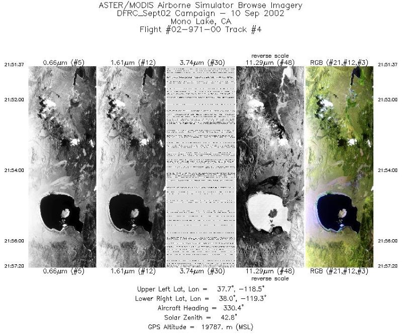
MASTER: Airborne Science, Southwestern US, September, 2002 recent views
National Aeronautics and Space Administration —
This dataset includes Level 1B (L1B) and Level 2 (L2) data products from the MODIS/ASTER Airborne Simulator (MASTER) instrument. The spectral data were collected... -
Federal
Delta-X: AVIRIS-NG L2 Surface Reflectance, MRD Louisiana, 2021 recent views
National Aeronautics and Space Administration —
This dataset provides Level 2 (L2) atmospherically corrected surface reflectance data acquired from NASA's Airborne Visible-Infrared Imaging Spectrometer-Next... -
Federal
Space Acquired Photography recent views
National Aeronautics and Space Administration —
Gemini photography was acquired between March 23, 1965 and November 15, 1966. The images were collected as part of the Synoptic Terrain Photography and the Synoptic... -
Federal
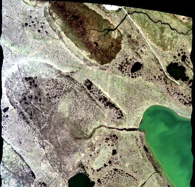
High-Resolution QuickBird Imagery and Related GIS Layers for Barrow, Alaska, USA, Version 1 recent views
National Aeronautics and Space Administration —
This data set contains high-resolution QuickBird imagery and geospatial data for the entire Barrow QuickBird image area (156.15° W - 157.07° W, 71.15° N - 71.41° N)... -
Federal
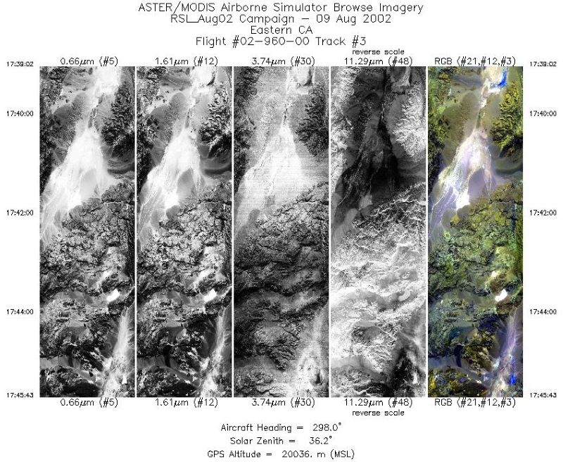
MASTER: Airborne Science, California-Nevada, August, 2002 recent views
National Aeronautics and Space Administration —
This dataset includes Level 1B (L1B) and Level 2 (L2) data products from the MODIS/ASTER Airborne Simulator (MASTER) instrument. The spectral data were collected... -
Federal
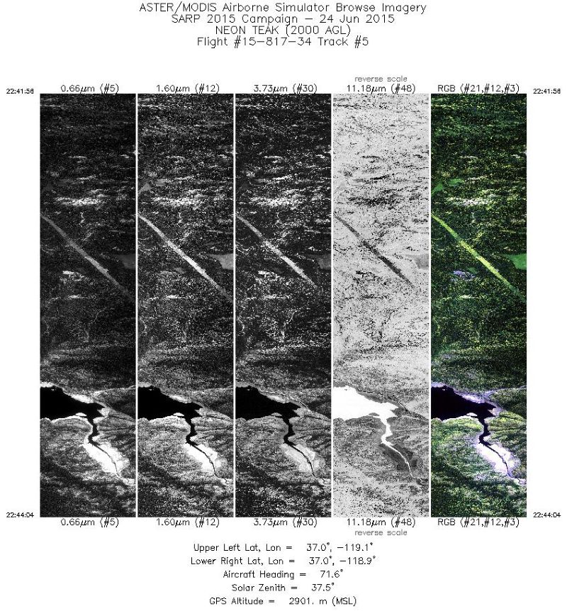
MASTER: Student Airborne Research Program (SARP) Campaign, California, 2015 recent views
National Aeronautics and Space Administration —
This dataset includes Level 1B (L1B) data products from the MODIS/ASTER Airborne Simulator (MASTER) instrument collected and developed by the Student Airborne... -
Federal
METOP-B AVHRR Top-of-Atmosphere Reflectance Daily L3 Global 0.05 Deg. CMG recent views
National Aeronautics and Space Administration —
The Long-Term Data Record (LTDR) produces, validates, and distributes a global land surface climate data record (CDR) that uses both mature and well-tested algorithms... -
Federal
ASTER Registered Radiance at the Sensor - Orthorectified V003 NGDA recent views
National Aeronautics and Space Administration —
The ASTER Orthorectified Registered Radiance at the Sensor (AST14OTH) product (https://lpdaac.usgs.gov/documents/618/ASTER_Earthdata_Search_Order_Instructions.pdf)... -
Federal
NOAA-09 AVHRR Atmospherically Corrected Surface Reflectance Daily L3 Global 0.05 Deg. CMG recent views
National Aeronautics and Space Administration —
The Long-Term Data Record (LTDR) produces, validates, and distributes a global land surface climate data record (CDR) that uses both mature and well-tested algorithms... -
Federal
ABoVE: AVIRIS-NG Imaging Spectroscopy for Alaska, Canada, and Iceland, 2017-2022, V3 recent views
National Aeronautics and Space Administration —
This dataset supersedes the previously published ABoVE AVIRIS-NG Level 2 surface reflectance files for 2017-2019 surveys of Alaska and northwestern Canada. It also... -
Federal
EO-1 (Earth Observing-1) Advanced Land Imager (ALI) Instrument Level 1R, Level 1Gs, Level 1Gst Data recent views
National Aeronautics and Space Administration —
Advanced Land Imager (ALI) provides image data from ten spectral bands (band designations). The instrument operates in a pushbroom fashion, with a spatial resolution... -
Federal
Advanced Solid-state Array Spectroradiometer (ASAS) recent views
National Aeronautics and Space Administration —
The Advanced Solid-state Array Spectroradiometer (ASAS) data collection contains data collected by the ASAS sensor flown aboard NASA aircraft. A fundamental use of... -
Federal
BOREAS Level-0 AOCI Imagery: Digital Counts in BIL Format recent views
National Aeronautics and Space Administration —
The level-0 AOCI imagery, along with the other remotely sensed images, was collected to provide spatially extensive information about radiant energy over the primary...

Official websites use .gov
A
.gov website belongs to an official government
organization in the United States.
Secure .gov websites use HTTPS
A
lock (
) or https:// means you’ve safely connected to
the .gov website. Share sensitive information only on official,
secure websites.