
-
Federal
EMAG2v3: Earth Magnetic Anomaly Grid (2-arc-minute resolution)
National Oceanic and Atmospheric Administration, Department of Commerce —
EMAG2v3 is a global Earth Magnetic Anomaly Grid compiled from satellite, ship, and airborne magnetic measurements. It is a significant update of the previous release... -
Federal
Global Gridded Soil Phosphorus Distribution Maps at 0.5-degree Resolution
National Aeronautics and Space Administration —
This data set provides estimates of different forms of naturally occurring soil phosphorus (P) including labile inorganic P, organic P, occluded P, secondary mineral... -
Federal
LLMs for EV Infrastructure Permitting
Department of Energy —
The Electric Vehicle (EV) charging permitting processes' database is a novel, multi-jurisdictional resource designed to contain the required codes and compliances in... -
Federal
United States Offshore Wind Supply Curves 2024
Department of Energy —
This data packet contains supply curves, hourly generation profiles, and composite siting exclusion TIFFs for offshore wind (OSW) in the waters of the EEZ off the... -
Federal
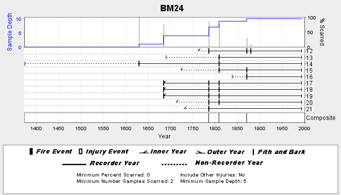
NOAA/WDS Paleoclimatology - Veblen fire data from BM24 - IMPD USBM-024
National Oceanic and Atmospheric Administration, Department of Commerce —
This archived Paleoclimatology Study is available from the NOAA National Centers for Environmental Information (NCEI), under the World Data Service (WDS) for... -
Federal
LBA-ECO LC-21 Selective Logging Activity in the Brazilian Amazon: 1999-2002
National Aeronautics and Space Administration —
This data set provides the results of analyses of Landsat Enhanced Thematic Mapper Plus (ETM+) images for selective logging activity in the Brazilian states of Para,... -
Federal
Real System Failures
National Aeronautics and Space Administration —
This resource area contains descriptions of actual electronic systems failure scenarios with an emphasis on the diversity of failure modes and effects that can befall... -
Federal
AIRS/Aqua L2 CO2 support retrieval (AIRS-only) V005 (AIRS2SPC) at GES DISC
National Aeronautics and Space Administration —
The Atmospheric Infrared Sounder (AIRS) is a grating spectrometer (R = 1200) aboard the second Earth Observing System (EOS) polar-orbiting platform, EOS Aqua. In... -
Federal
GPM AMSU-B on NOAA 16 Common Calibrated Brightness Temperatures L1C 1.5 hours 16 km V07 (GPM_1CNOAA16AMSUB) at GES DISC
National Aeronautics and Space Administration —
Version 07 is the current version of the data set. Older versions will no longer be available and have been superseded by Version 07.All 1C products have a common L1C... -
Federal
Daily Rainfall Data (FIFE)
National Aeronautics and Space Administration —
The FIFE Daily Rainfall Data Set contains daily precipitation values for 42 rain gauge stations within the Konza LTER portion of the FIFE site (i.e., Northwest... -
Federal
Landsat Level-2 Surface Reflectance Collection 2
National Aeronautics and Space Administration —
Landsat Level-2 Surface Reflectance Collection 2 products contain atmospherically corrected spectral reflectance data derived from Level-1 products and are available... -
Federal
Arctic Vegetation Plots for IBP Tundra Biome, Barrow, Alaska, 1972-2010
National Aeronautics and Space Administration —
This data set provides vegetation cover and environmental plot data collected as part of the International Biological Program (IBP), U. S. Tundra Biome Program, in... -
Federal
Carbon Monitoring System Lake Superior Primary Production Yearly V1 (CMSLakeSuperiorPPY) at GES DISC
National Aeronautics and Space Administration —
Yearly Average primary production/carbon fixation data for Lake Superior. The primary production data is derived using MODIS imagery with model data.The NASA Carbon... -
Federal
CERES Daily Daytime Mean Regionally Averaged Terra and Aqua TOA Fluxes and Associated Cloud Properties Stratified by Optical Depth and Effective Pressure Edition4A
National Aeronautics and Space Administration —
CER_FluxByCldTyp-Day_Terra-Aqua-MODIS_Edition4A is the Clouds and the Earth's Radiant Energy System (CERES) Daily Daytime Mean Regionally Averaged Terra and Aqua Top-... -
Federal
BOREAS TE-23 Map Plot Data
National Aeronautics and Space Administration —
The BOREAS TE-23 team collected map plot data in support of its efforts to characterize and interpret information on canopy architecture and understory cover at the... -
Federal
GPM SSM/I on F14 (GPROF) Climate-based Radiometer Precipitation Profiling L2 1.5 hours 12 km V07 (GPM_2AGPROFF14SSMI_CLIM) at GES DISC
National Aeronautics and Space Administration —
Version 07 is the current version of the data set. Older versions will no longer be available and have been superseded by Version 07.The 'CLIM' products differ from... -
Federal
TOVS GLA MONTHLY GRIDS from NOAA-11 V01 (TOVSAMNH) at GES DISC
National Aeronautics and Space Administration —
This dataset (TOVSAMNH) contains the TIROS Operational Vertical Sounder (TOVS) level 3 geophysical parameters derived using data from NOAA-11 and the physical... -
Federal
UARS Halogen Occultation Experiment (HALOE) Level 3AT V019 (UARHA3AT) at GES DISC
National Aeronautics and Space Administration —
The Halogen Occultation Experiment (HALOE) Level 3AT data product consists of daily vertical profiles of temperature, aerosol extinction and concentrations of HCl,... -
Federal
GPM SSMIS on F16 (GPROF) Climate-based Radiometer Precipitation Profiling 1.5 hours 12 km V07 (GPM_2AGPROFF16SSMIS_CLIM) at GES DISC
National Aeronautics and Space Administration —
Version 07 is the current version of the data set. Older versions will no longer be available and have been superseded by Version 07.The 'CLIM' products differ from... -
Federal
BOREAS TGB-09 Above-canopy NMHC at SSA-OBS, SSA-OJP and SSA-OA Sites
National Aeronautics and Space Administration —
THE BOREAS TGB-09 team collected data in order to inventory and quantify the anthropogenic and biogenic NMHC's over the BOREAS study areas. This data set contains...

Official websites use .gov
A
.gov website belongs to an official government
organization in the United States.
Secure .gov websites use HTTPS
A
lock (
) or https:// means you’ve safely connected to
the .gov website. Share sensitive information only on official,
secure websites.