

12 datasets found for ""Tree Density""
-
Federal
Post-fire Recovery of Soil Organic Layer Carbon in Canadian Boreal Forests, 2015-2018
National Aeronautics and Space Administration —
This dataset provides site moisture, soil organic layer thickness, soil organic carbon, nonvascular plant functional group, stand dominance, ecozone, time-after-fire,... -
Federal
ABoVE: Characterization of Carbon Dynamics in Burned Forest Plots, NWT, Canada, 2014
National Aeronautics and Space Administration —
This dataset provides field data from boreal forests in the Northwest Territories (NWT), Canada, that were burned by wildfires in 2014. During fieldwork in 2015, 211... -
Federal
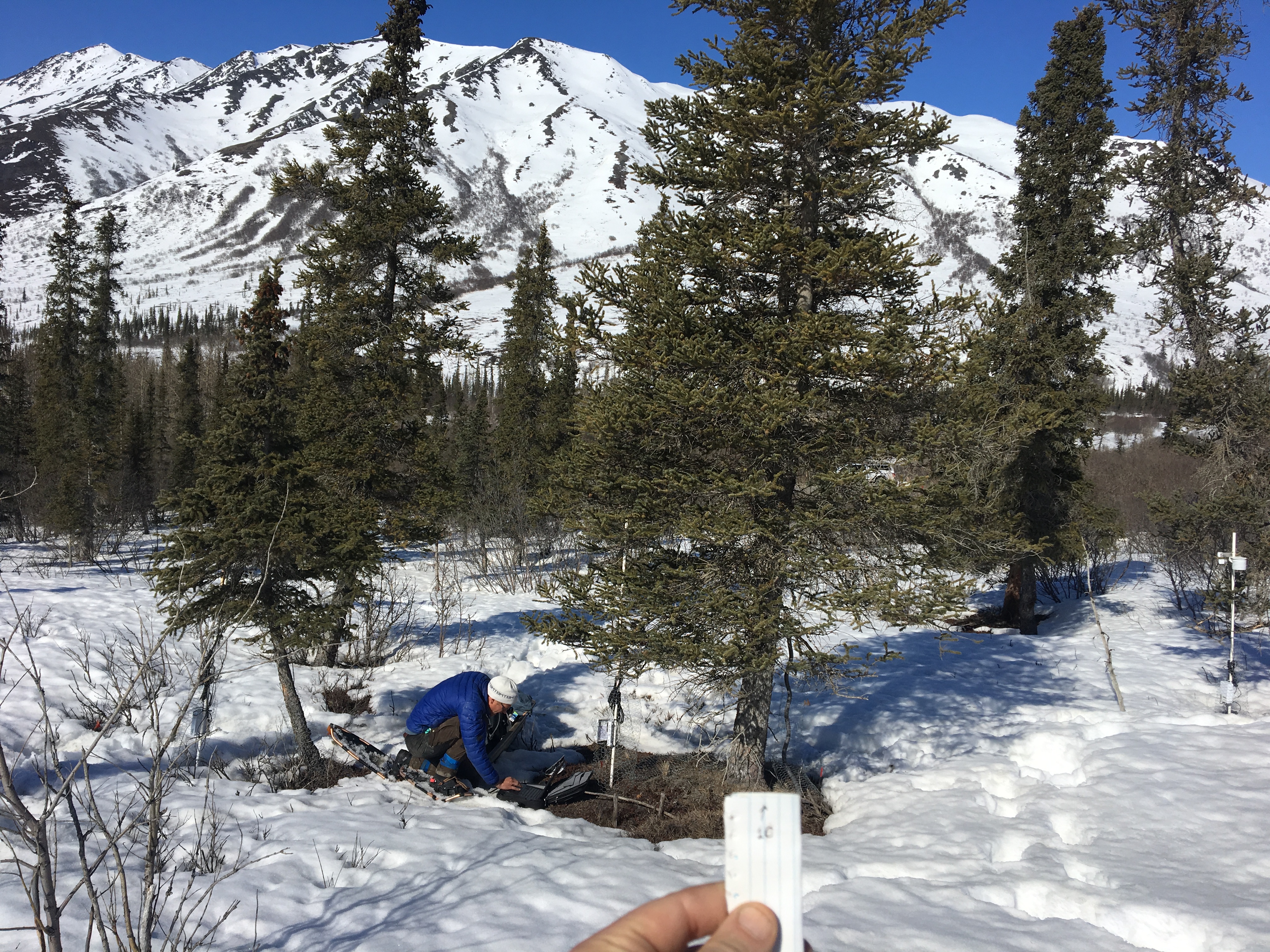
ABoVE: Photochemical Reflectance and Tree Growth, Brooks Range, Alaska, 2018-2019
National Aeronautics and Space Administration —
This dataset provides simultaneous in-situ measurements of the photochemical reflectance index (PRI) and radial tree growth of selected white spruce trees (Picea... -
Federal
Terrestrial Condition Assessment (TCA) Grassland Encroachment
Department of Agriculture —
Direct Download (Raster Data Gateway)Objective: An indicator that identifies where tree density has exceeded the levels presumed to be present in pre-Euro-American... -
State
Tree Habitat - Spears and Didion Ranches [ds321]
State of California —
These data are the summary statistics calculated for trees and snags from the three 0.05-ha circular plot habitat samples taken in 2005 each at the 15 sample points... -
Federal
ABoVE: Synthesis of Burned and Unburned Forest Site Data, AK and Canada, 1983-2016
National Aeronautics and Space Administration —
This dataset is a synthesis of field plot characterization data, derived above-ground and below-ground combusted carbon, and acquired Fire Weather Index (FWI) System... -
Federal
SNF Forest Understory Cover Data (Table)
National Aeronautics and Space Administration —
The purpose of the SNF study was to improve our understanding of the relationship between remotely sensed observations and important biophysical parameters in the... -
Federal
SNF Forest Understory Cover Data
National Aeronautics and Space Administration —
The purpose of the SNF study was to improve our understanding of the relationship between remotely sensed observations and important biophysical parameters in the... -
Federal
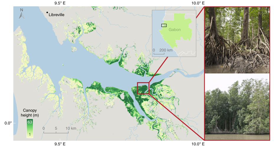
Global Mangrove Distribution, Aboveground Biomass, and Canopy Height
National Aeronautics and Space Administration —
This dataset characterizes the global distribution, biomass, and canopy height of mangrove-forested wetlands based on remotely sensed and in situ field measurement... -
State
Aspen Delineation - Klamath National Forest [ds370]
State of California —
The database represents polygons of aspen stands in the Klamath National Forest, Siskiyou County, California. The Klamath National Forest Region 5 Vegetation aspen... -
Federal
SnowEx20 Grand Mesa Reference GIS Data Sets V001
National Aeronautics and Space Administration —
This data set contains geolocation information of the infrastructure locations for the SnowEx20 Intensive Observation Period (IOP) and Time Series (TS) campaigns.... -
State
Aspen Characteristics - Klamath National Forest [ds369]
State of California —
The database represents point locations and associated stand assessment data collected with known aspen stands in the Klamath National Forest, Siskiyou County,...
12 datasets found for ""Tree Density""