

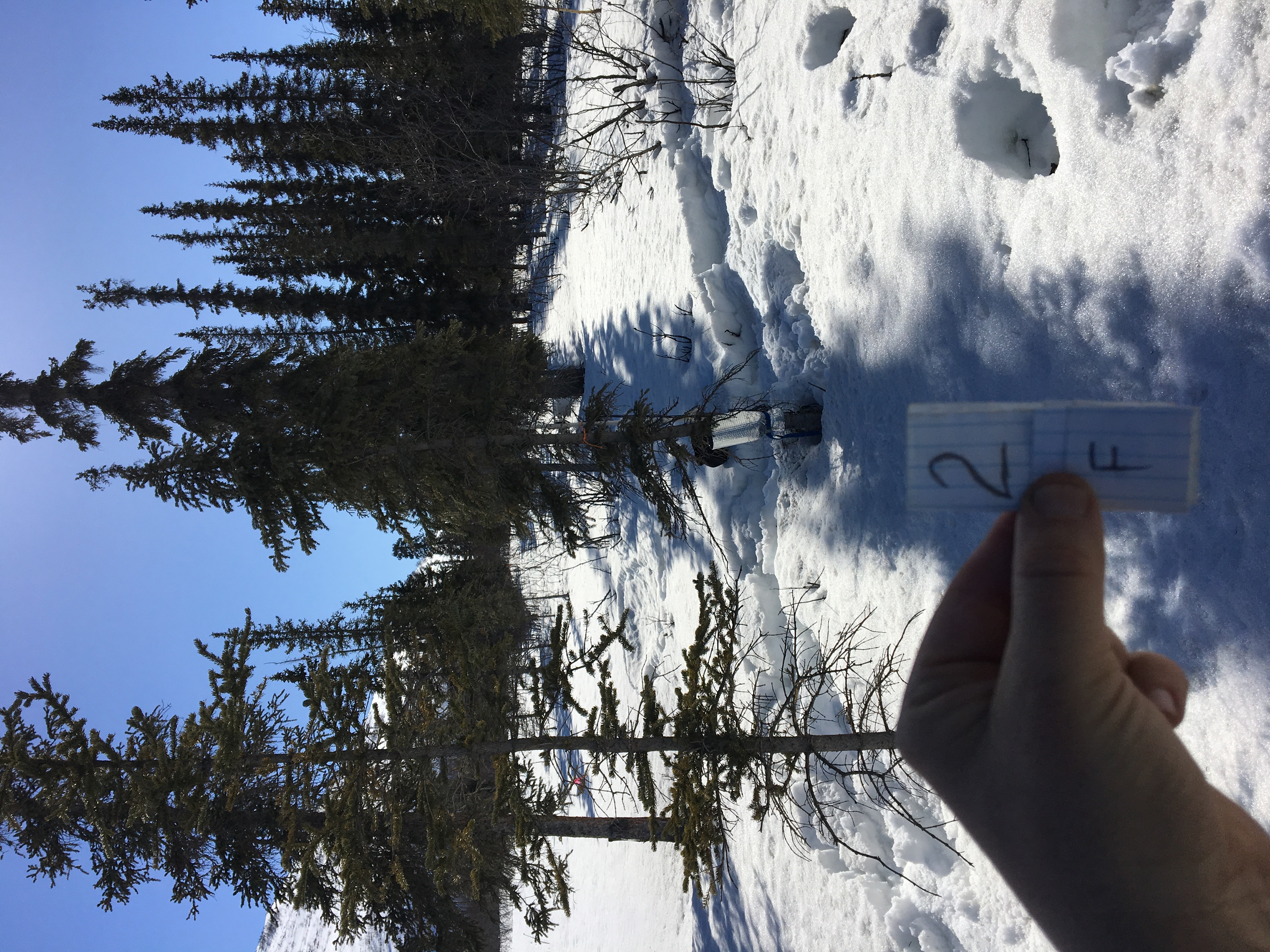
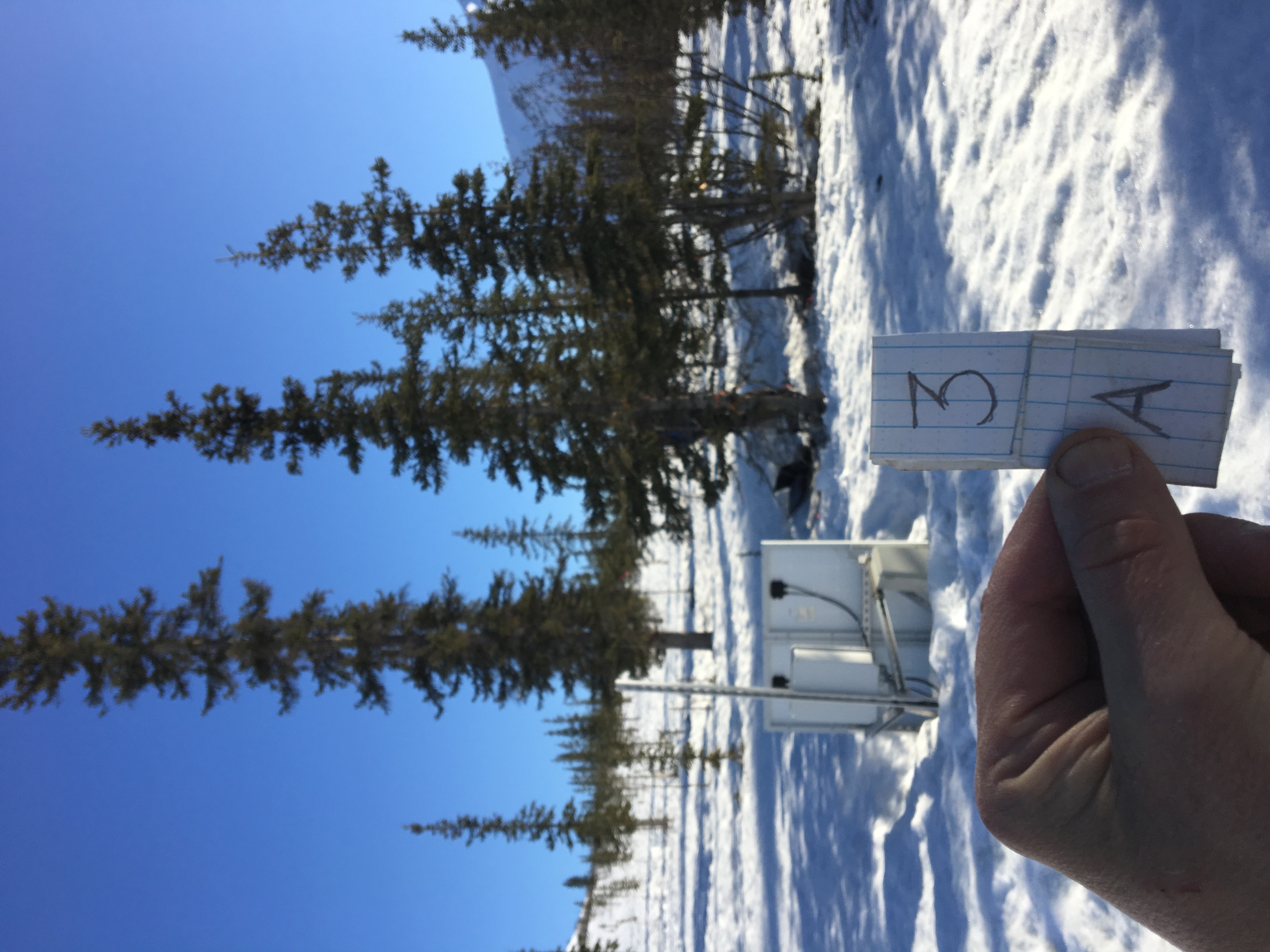
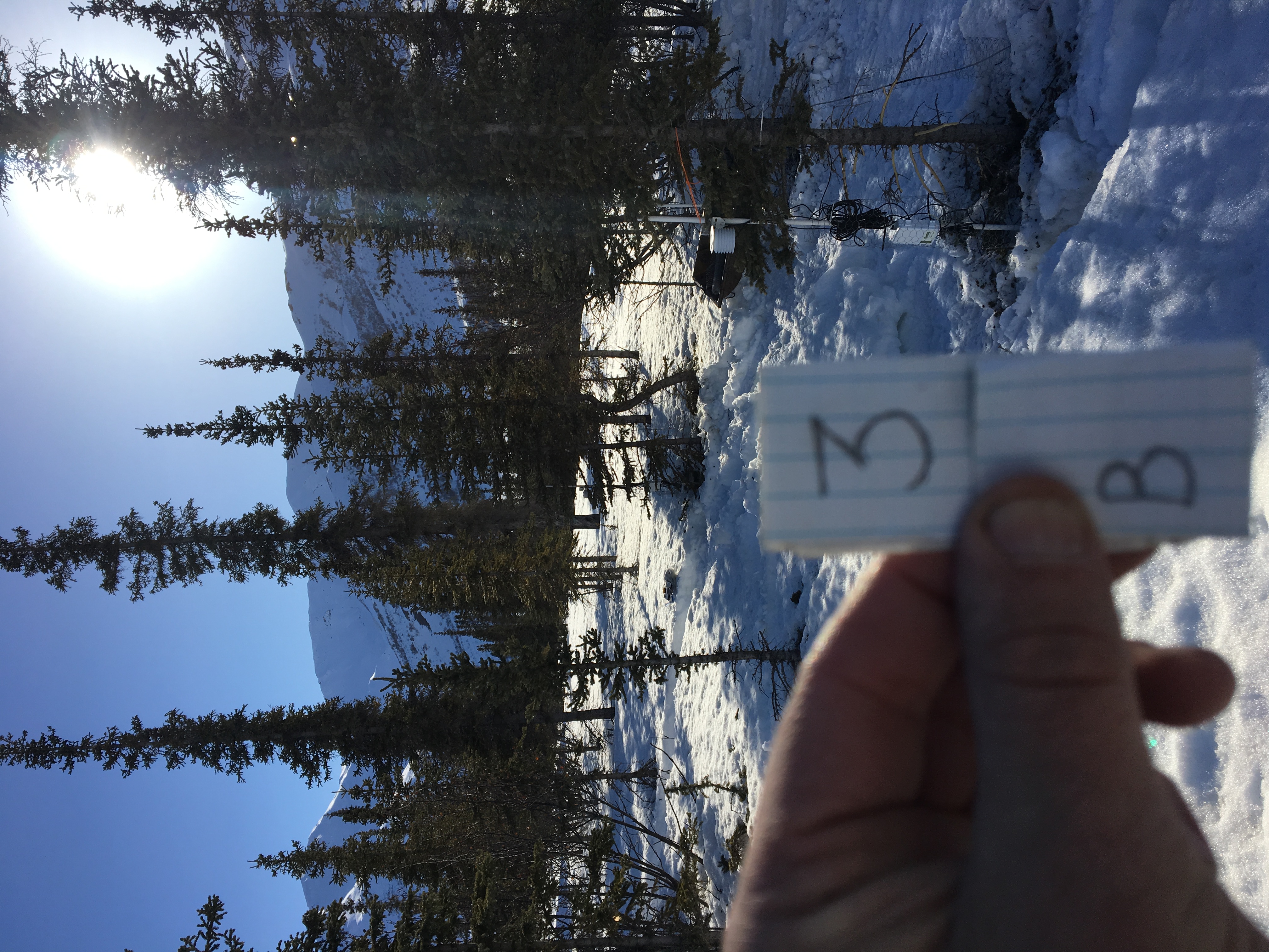
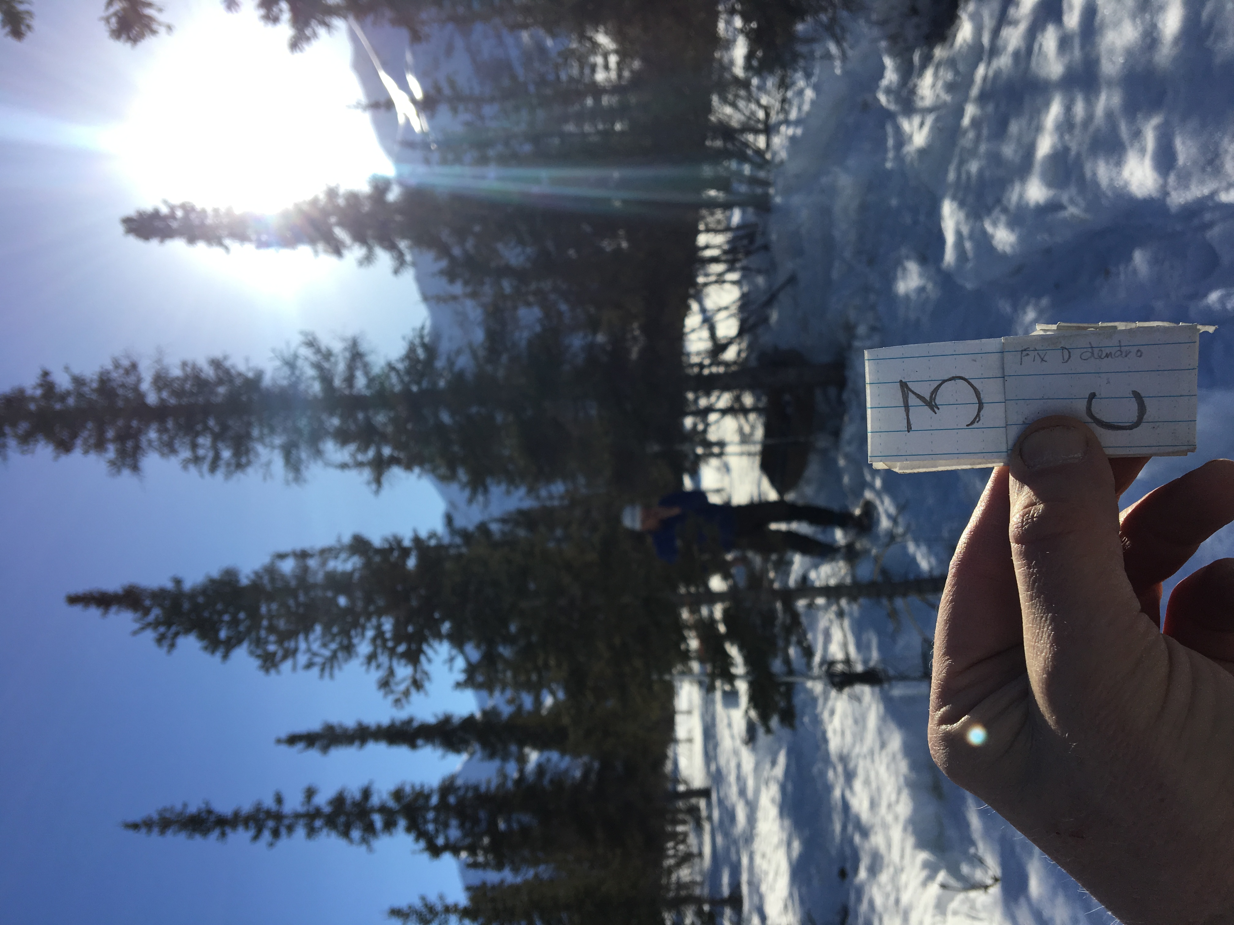
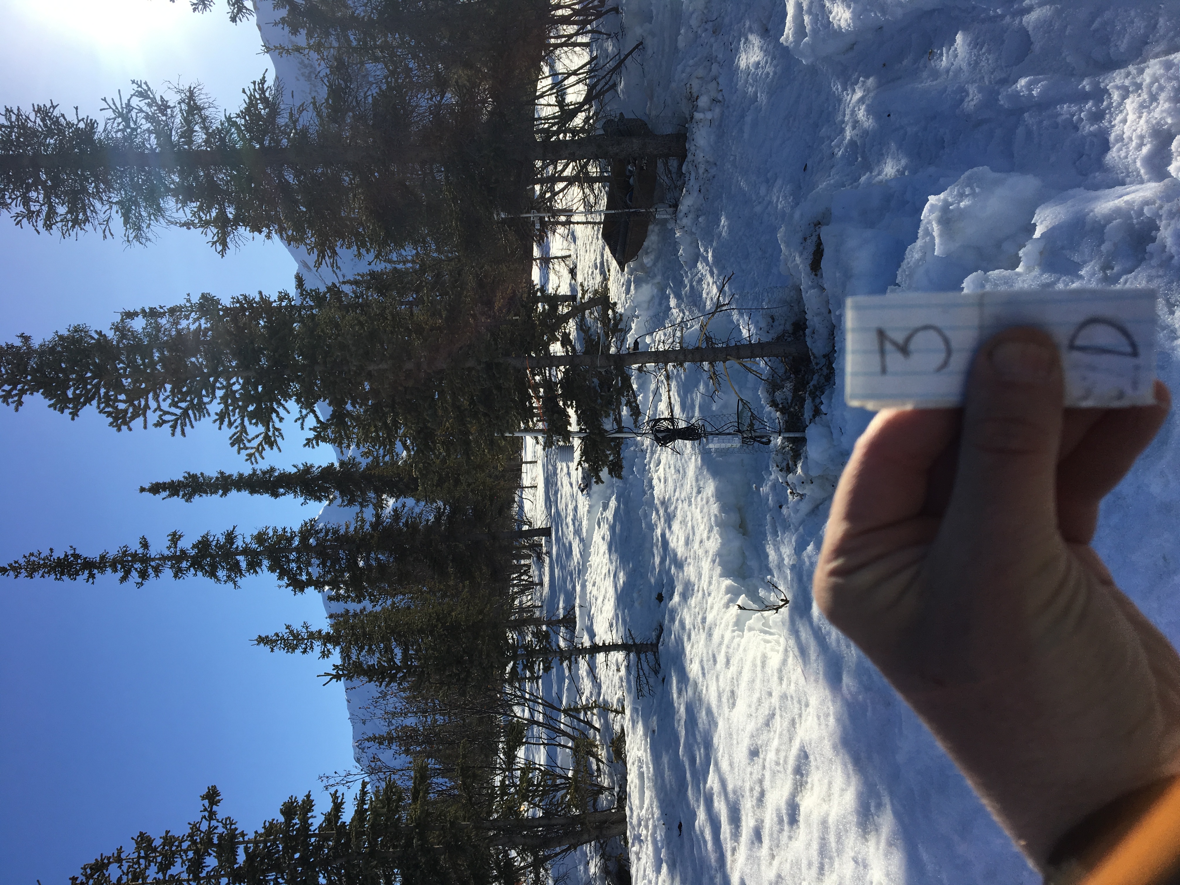
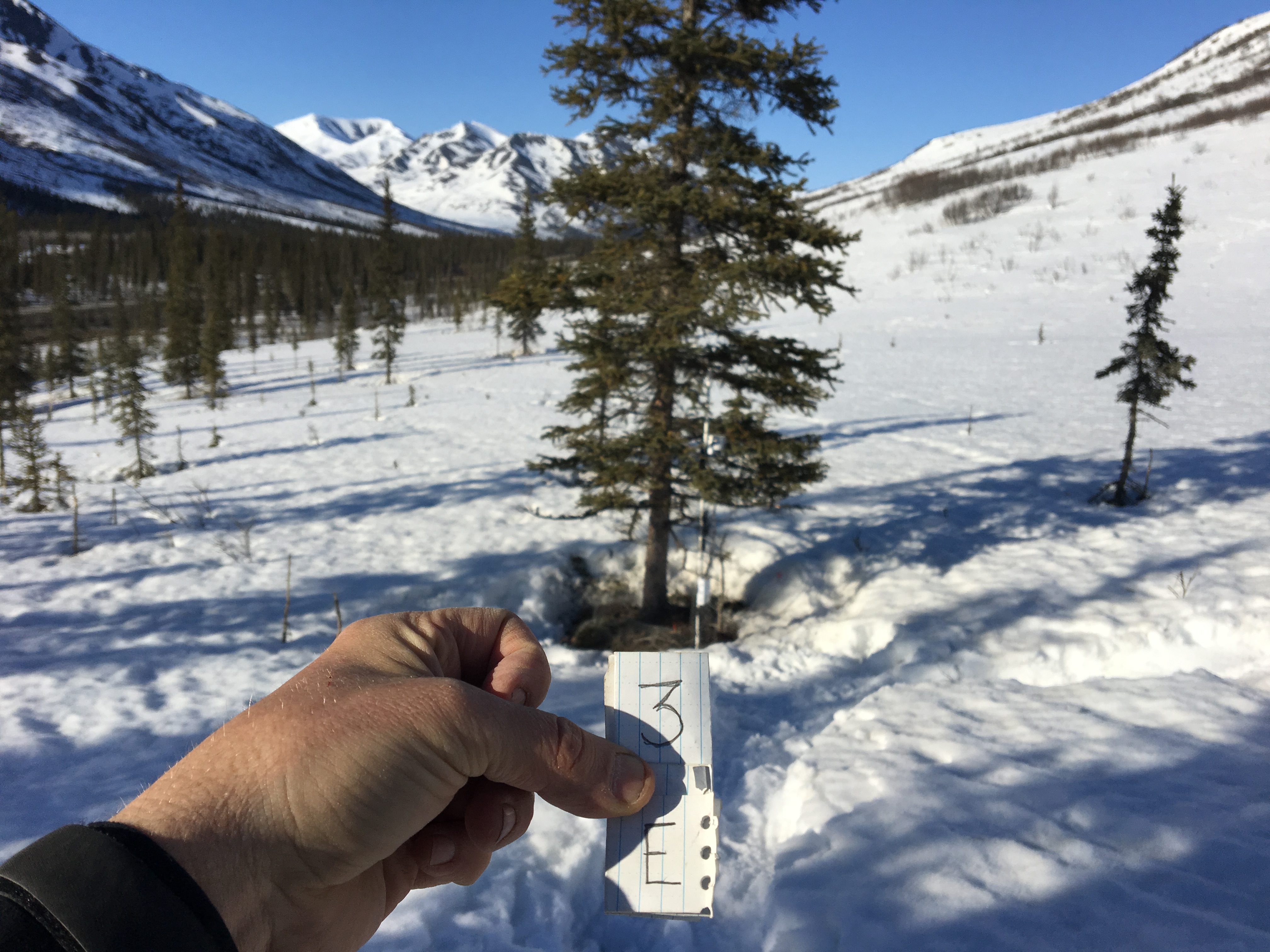
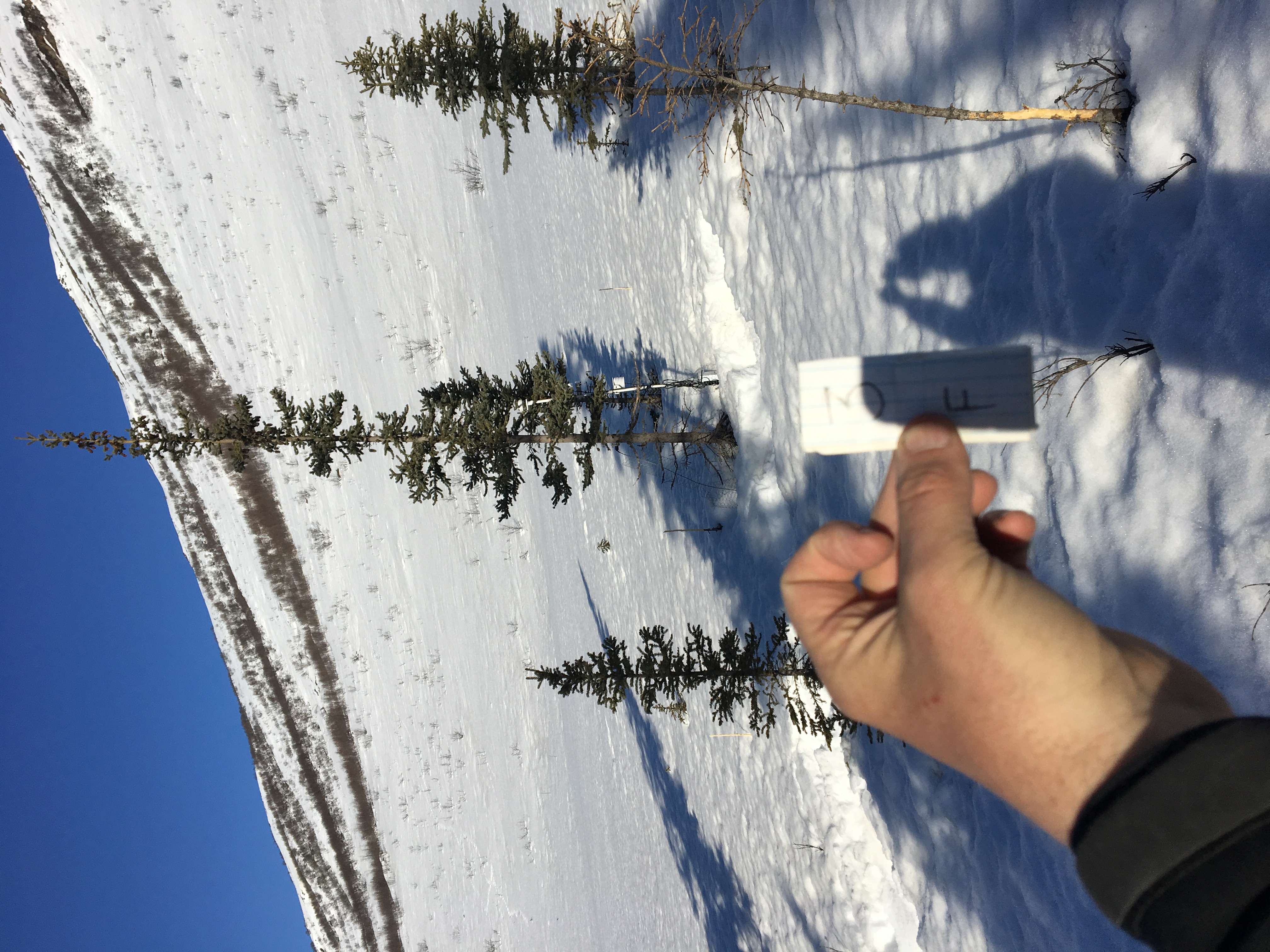
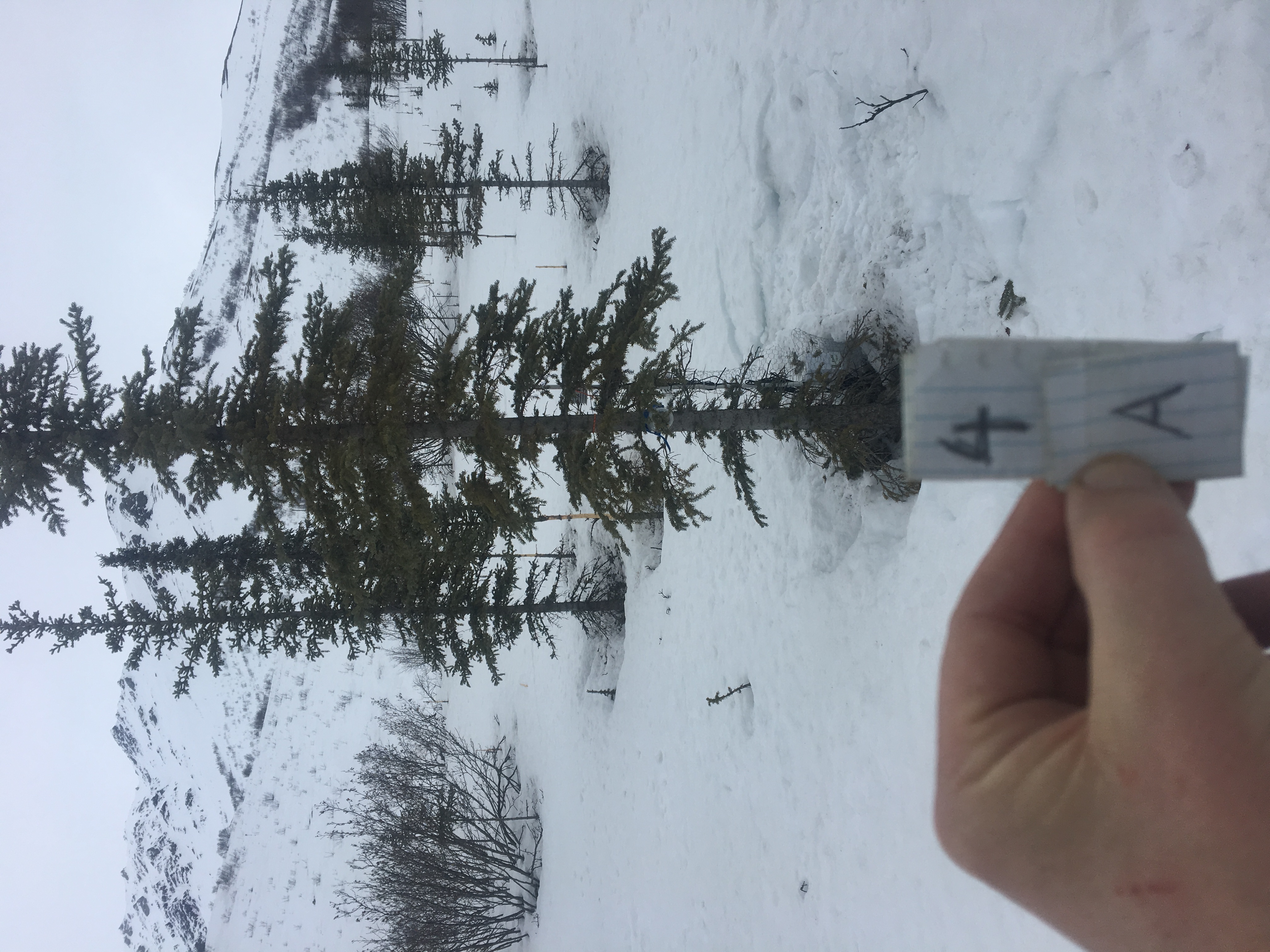
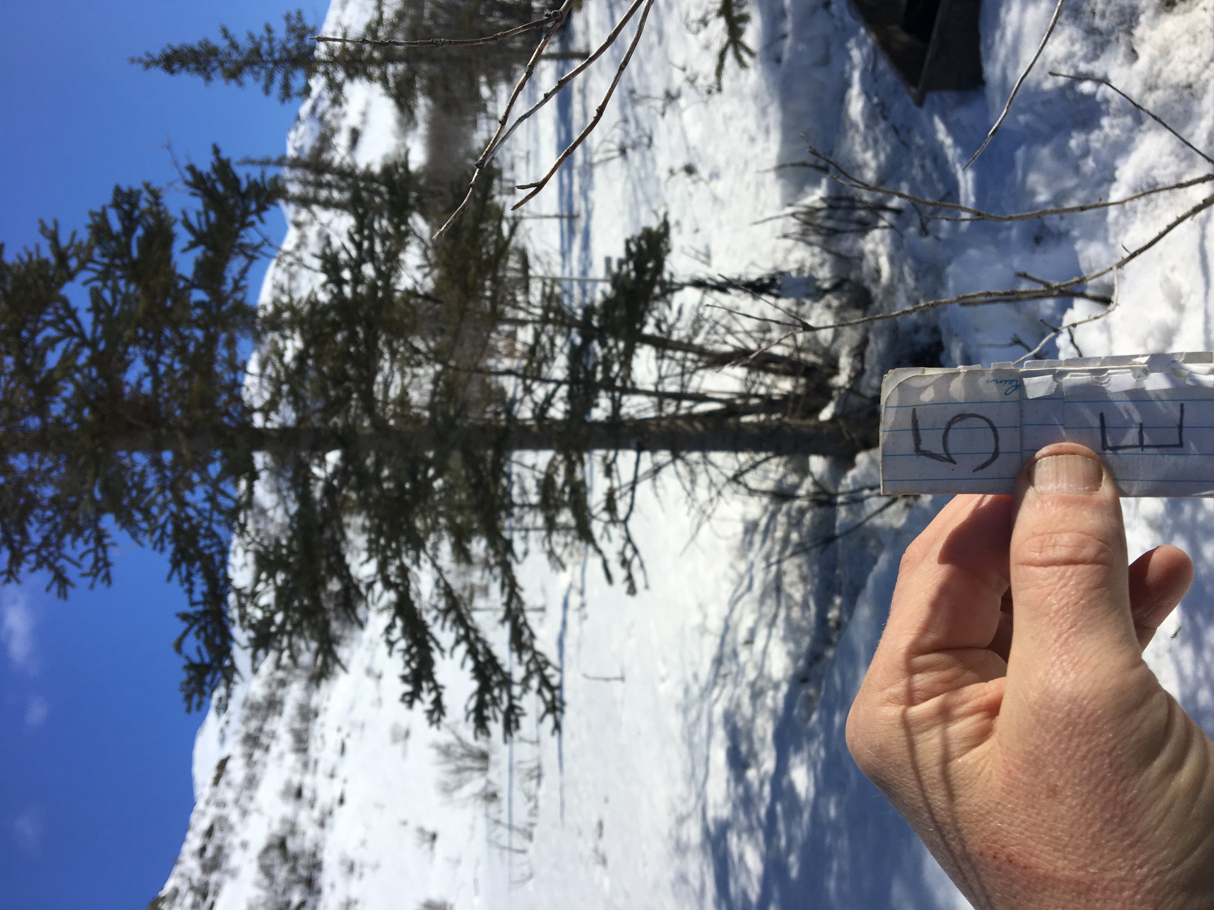
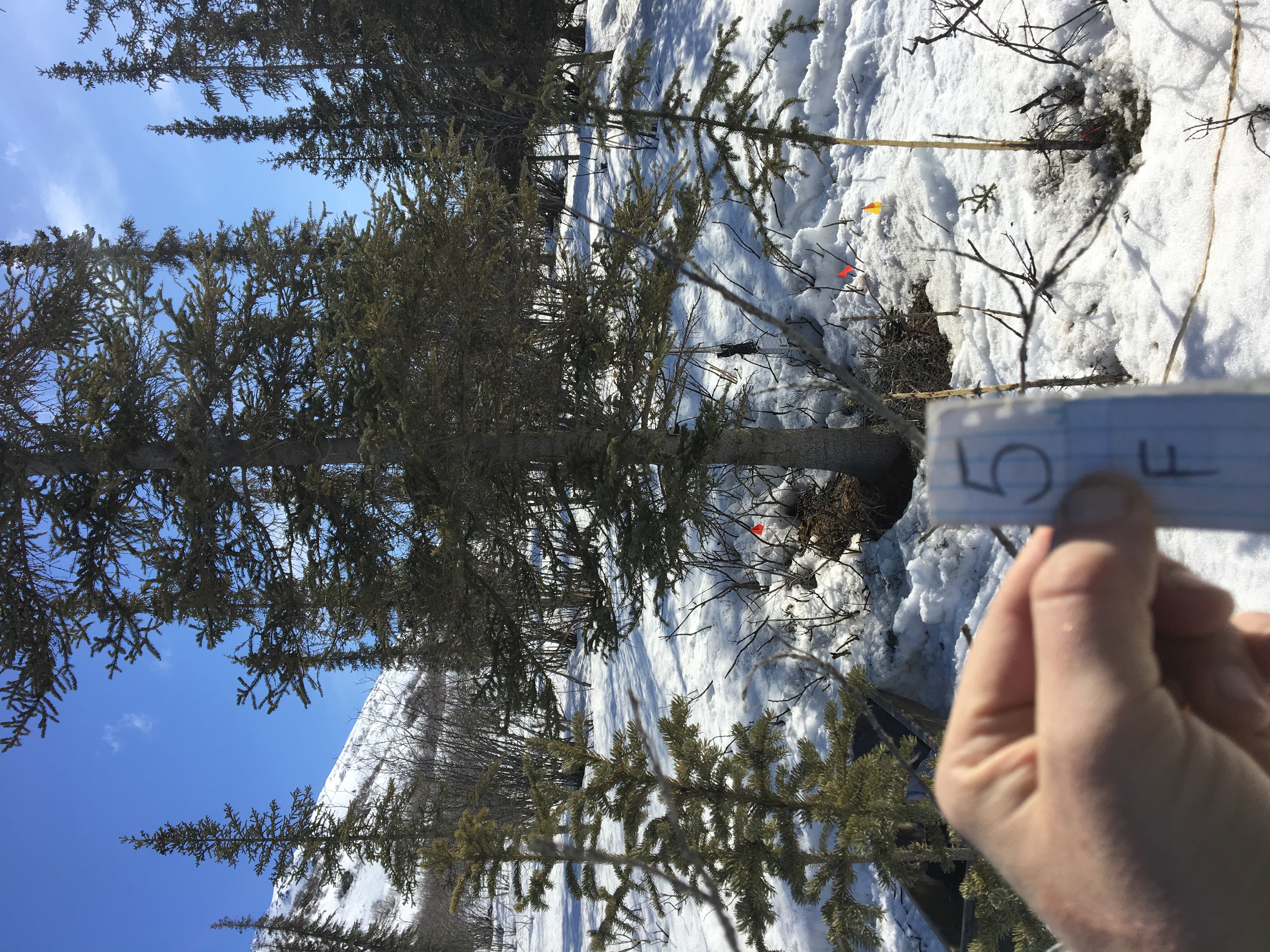
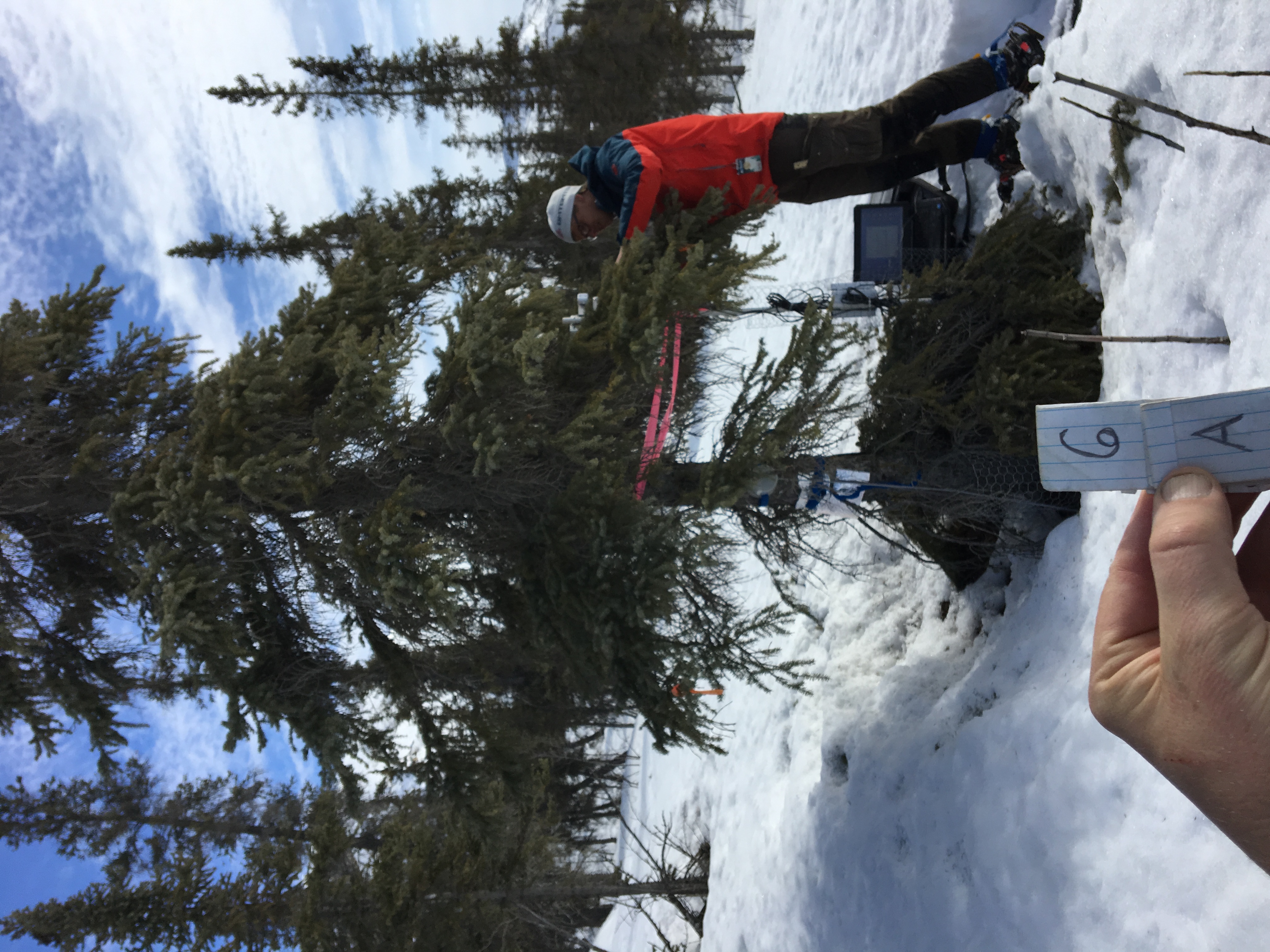
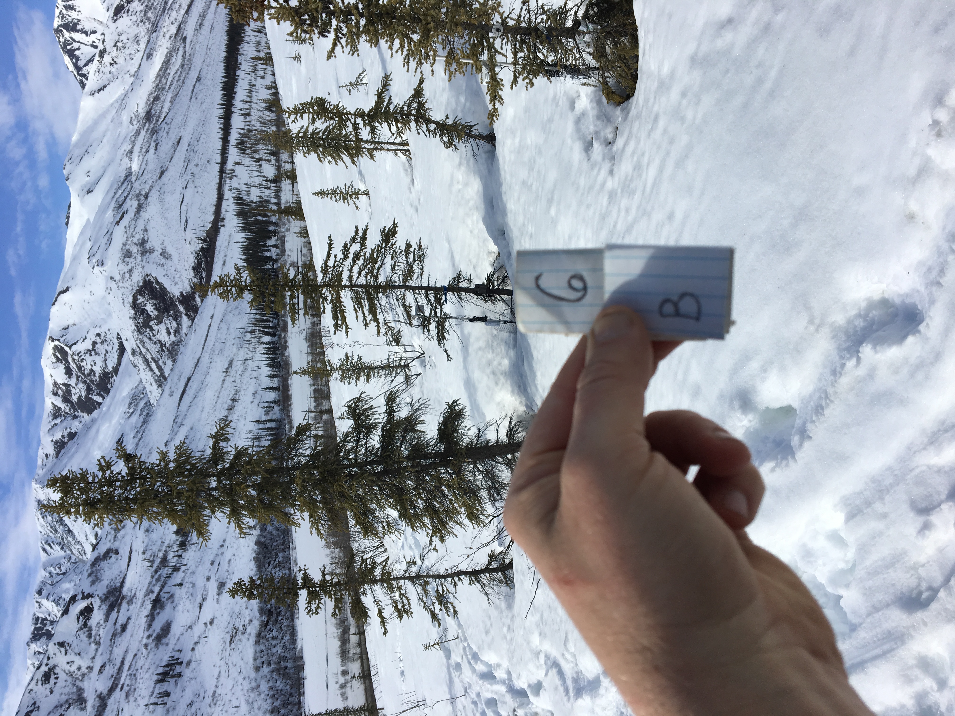
ABoVE: Photochemical Reflectance and Tree Growth, Brooks Range, Alaska, 2018-2019
Access & Use Information
Downloads & Resources
-
Data Information (Unknown Format)BIN
-
Data Information (HTML)HTML
-
Data Information (ZIP)ZIP
Radial_Growth_PRI_1781.zip
-
Data Information (PNG)PNG
Radial_Growth_PRI_Fig1.png
-
Data Information (Unknown Format)BIN
-
Data Information (JPEG)JPEG
1c.JPG
-
Data Information (JPEG)JPEG
1a.JPG
-
Data Information (JPEG)JPEG
1d.JPG
-
Data Information (JPEG)JPEG
1e.JPG
-
Data Information (JPEG)JPEG
1f.JPG
-
Data Information (JPEG)JPEG
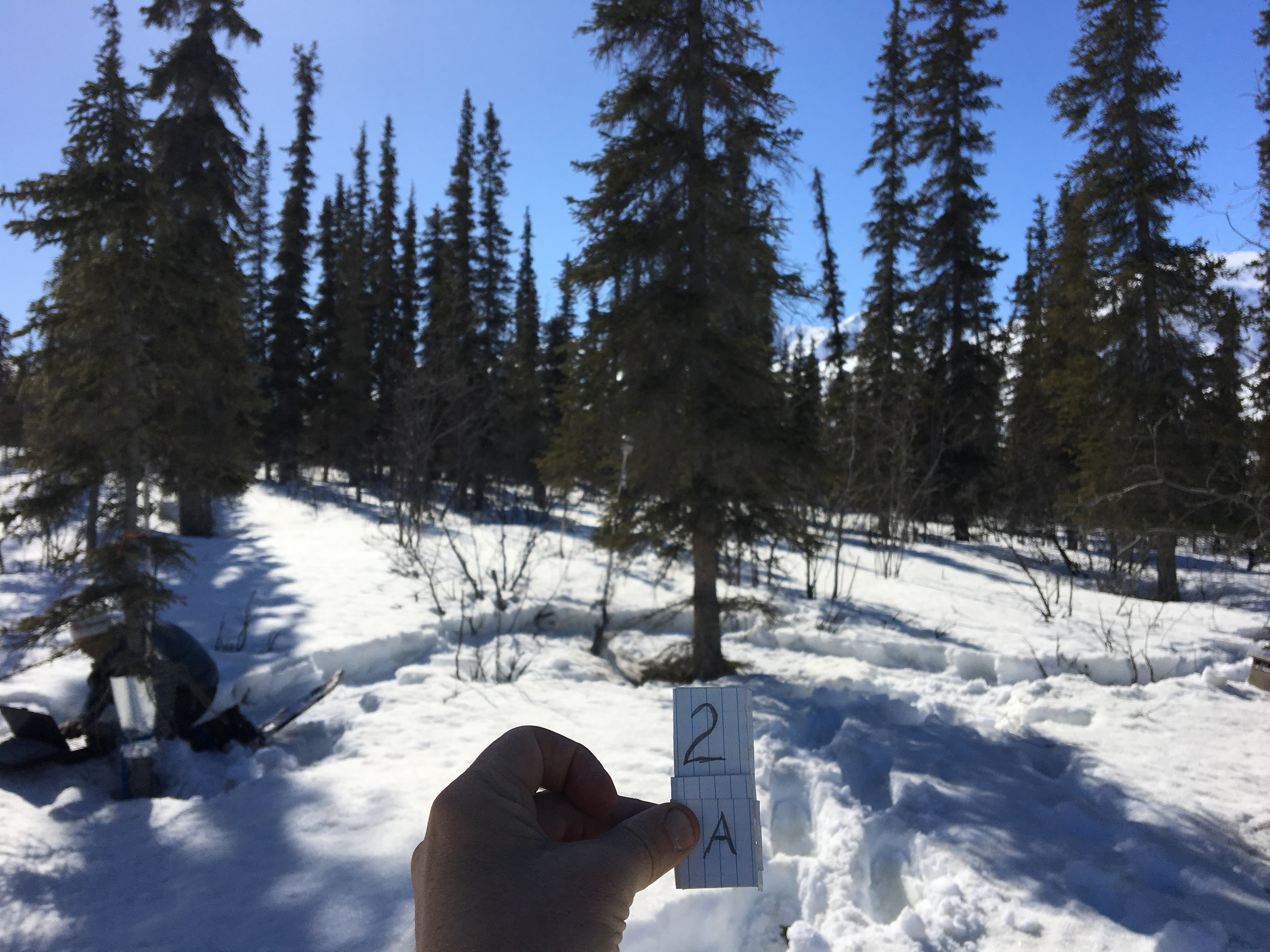
2a.JPG
-
Data Information (JPEG)JPEG
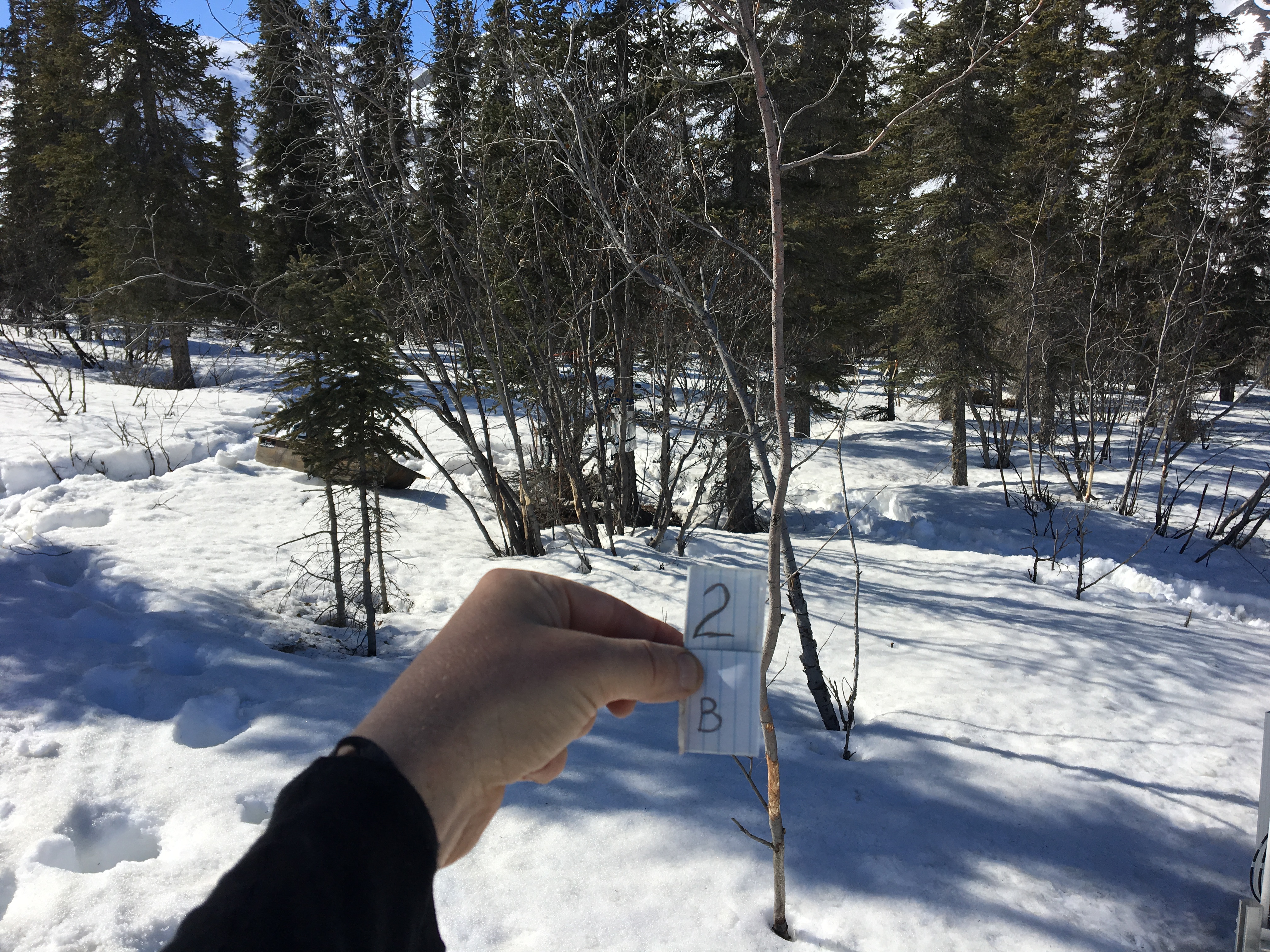
2b.JPG
-
Data Information (JPEG)JPEG
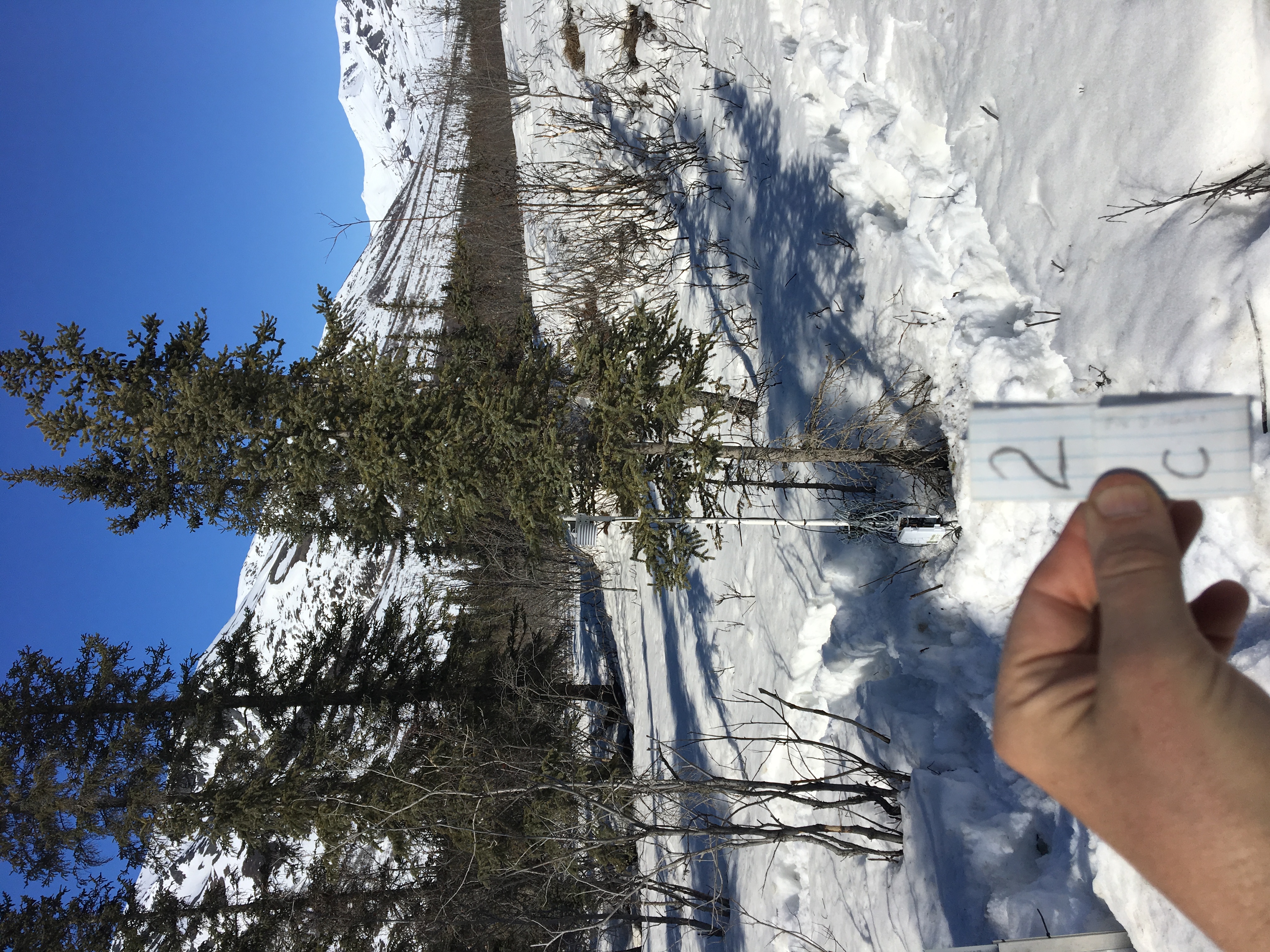
2c.JPG
-
Data Information (JPEG)JPEG
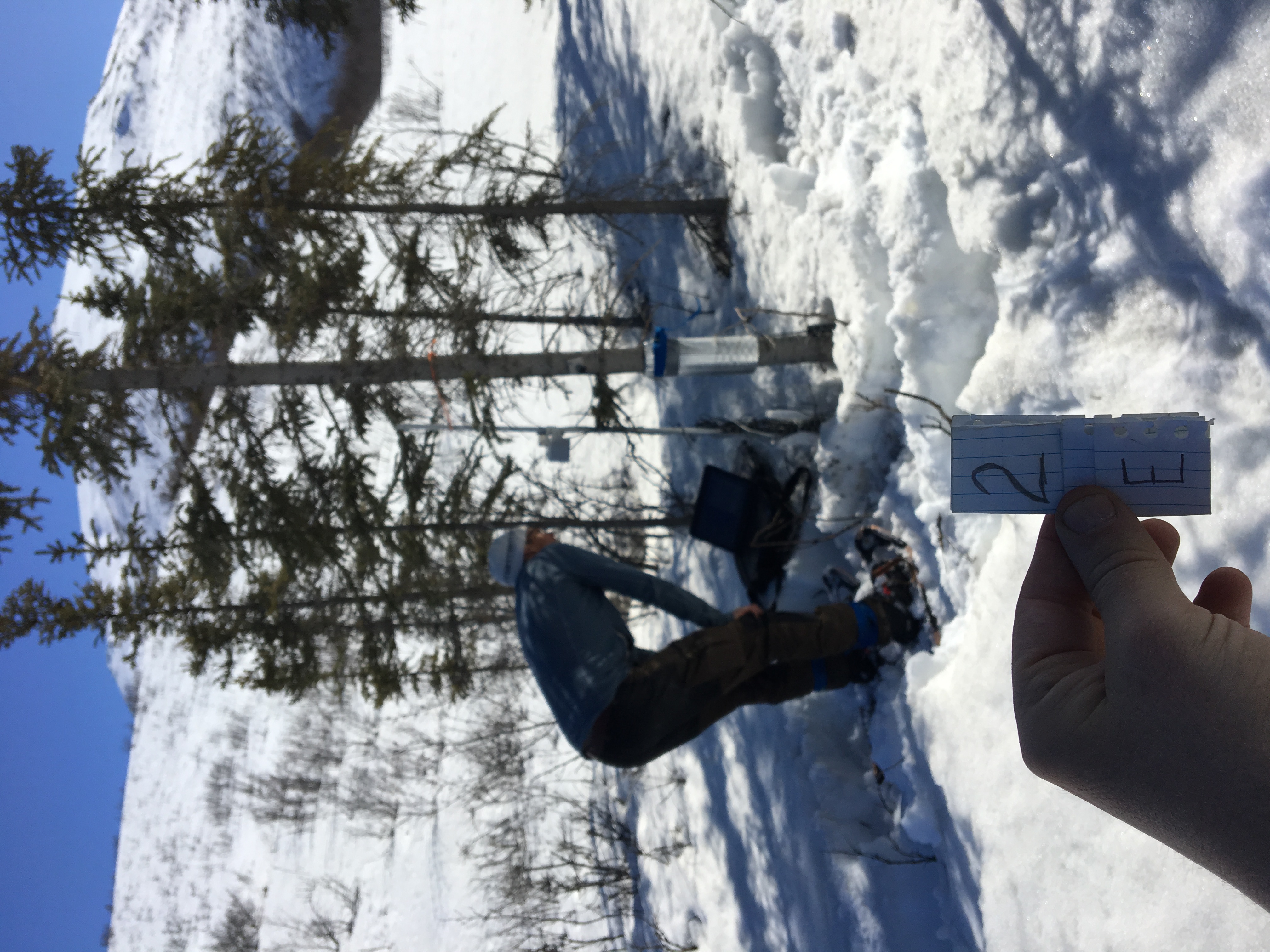
2e.JPG
-
Data Information (JPEG)JPEG
2f.JPG
-
Data Information (JPEG)JPEG
3a.JPG
-
Data Information (JPEG)JPEG
3b.JPG
-
Data Information (JPEG)JPEG
3c.JPG
-
Data Information (JPEG)JPEG
3d.JPG
-
Data Information (JPEG)JPEG
3e.JPG
-
Data Information (JPEG)JPEG
3f.JPG
-
Data Information (JPEG)JPEG
4a.JPG
-
Data Information (JPEG)JPEG
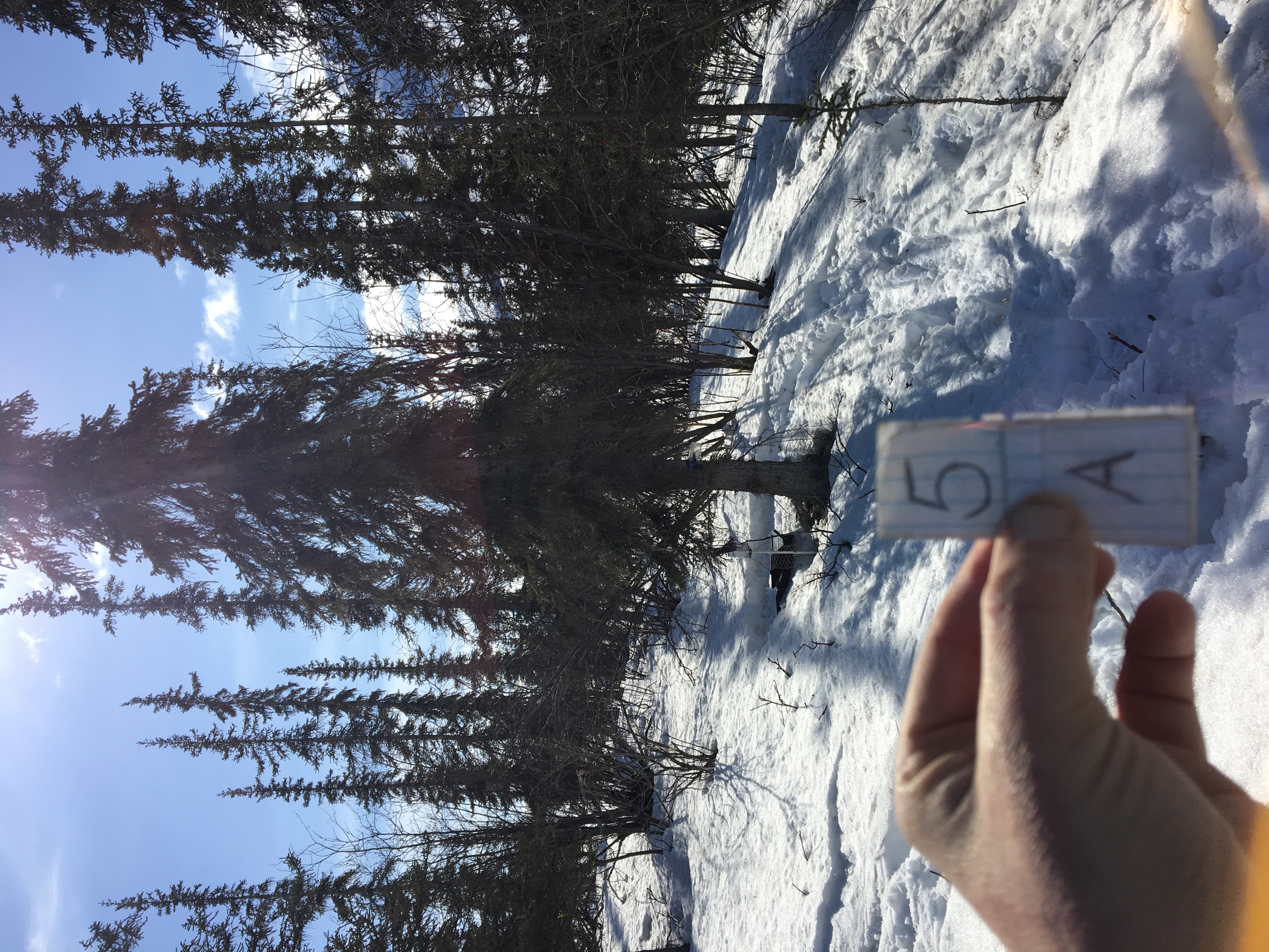
5a.JPG
-
Data Information (JPEG)JPEG
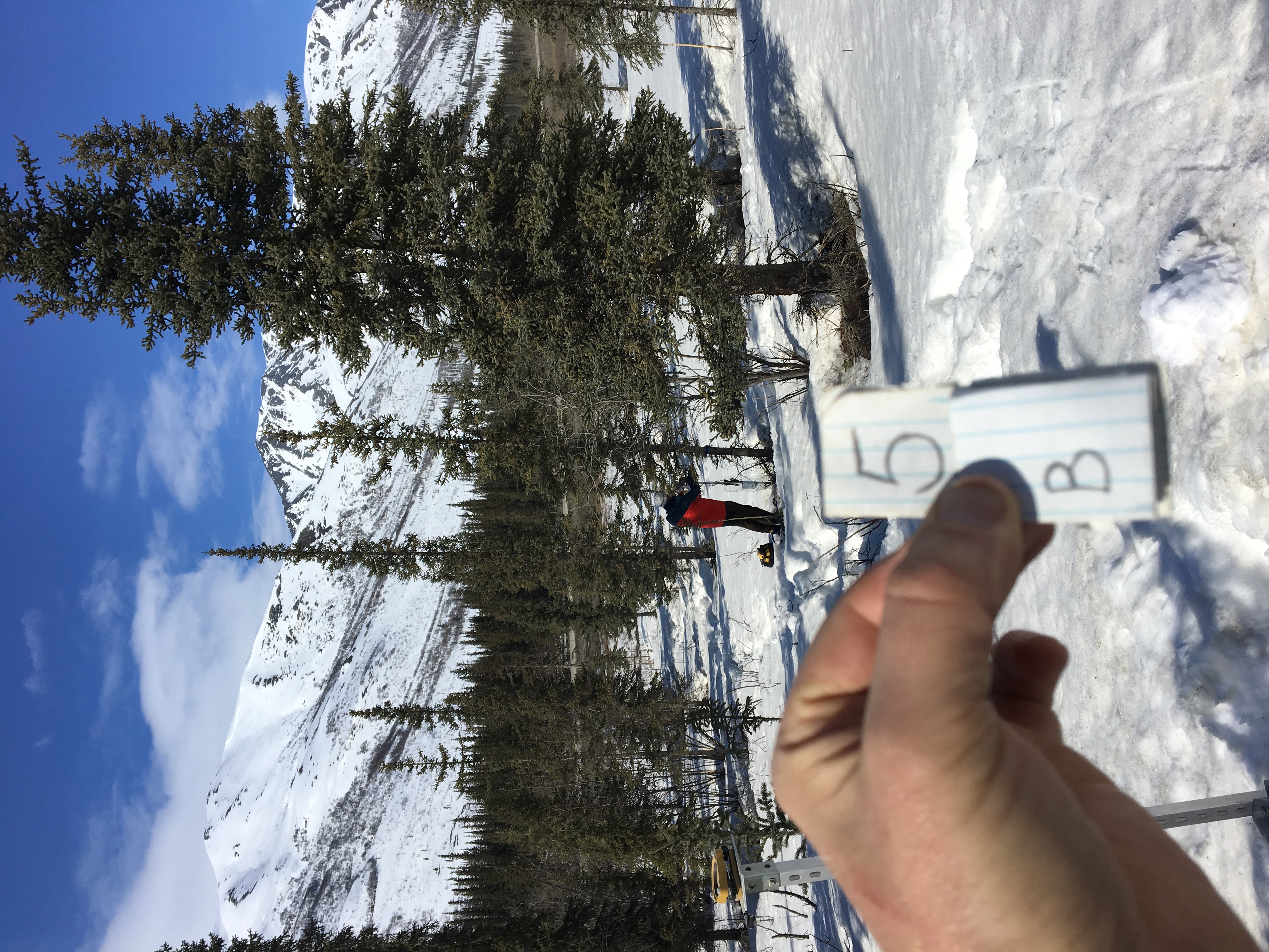
5b.JPG
-
Data Information (JPEG)JPEG
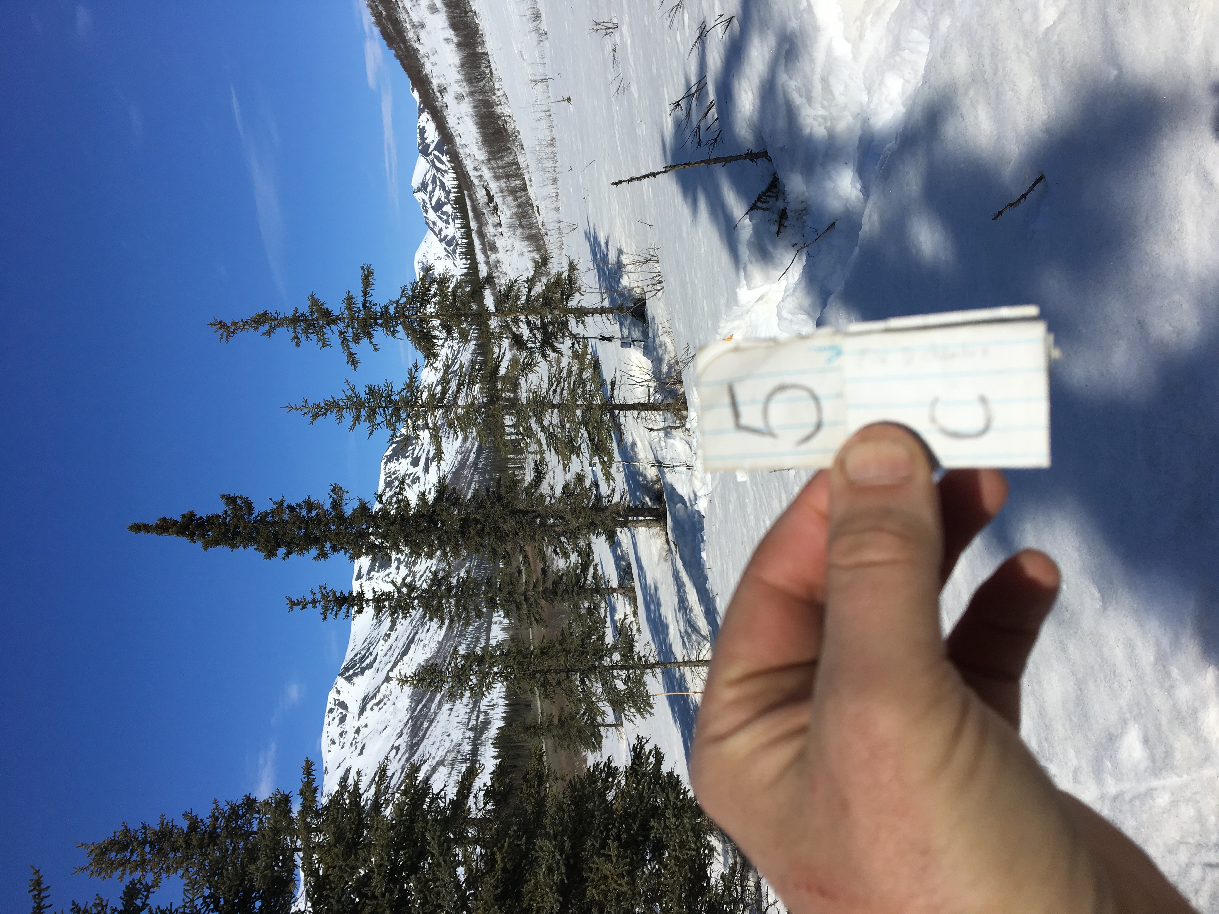
5c.JPG
-
Data Information (JPEG)JPEG
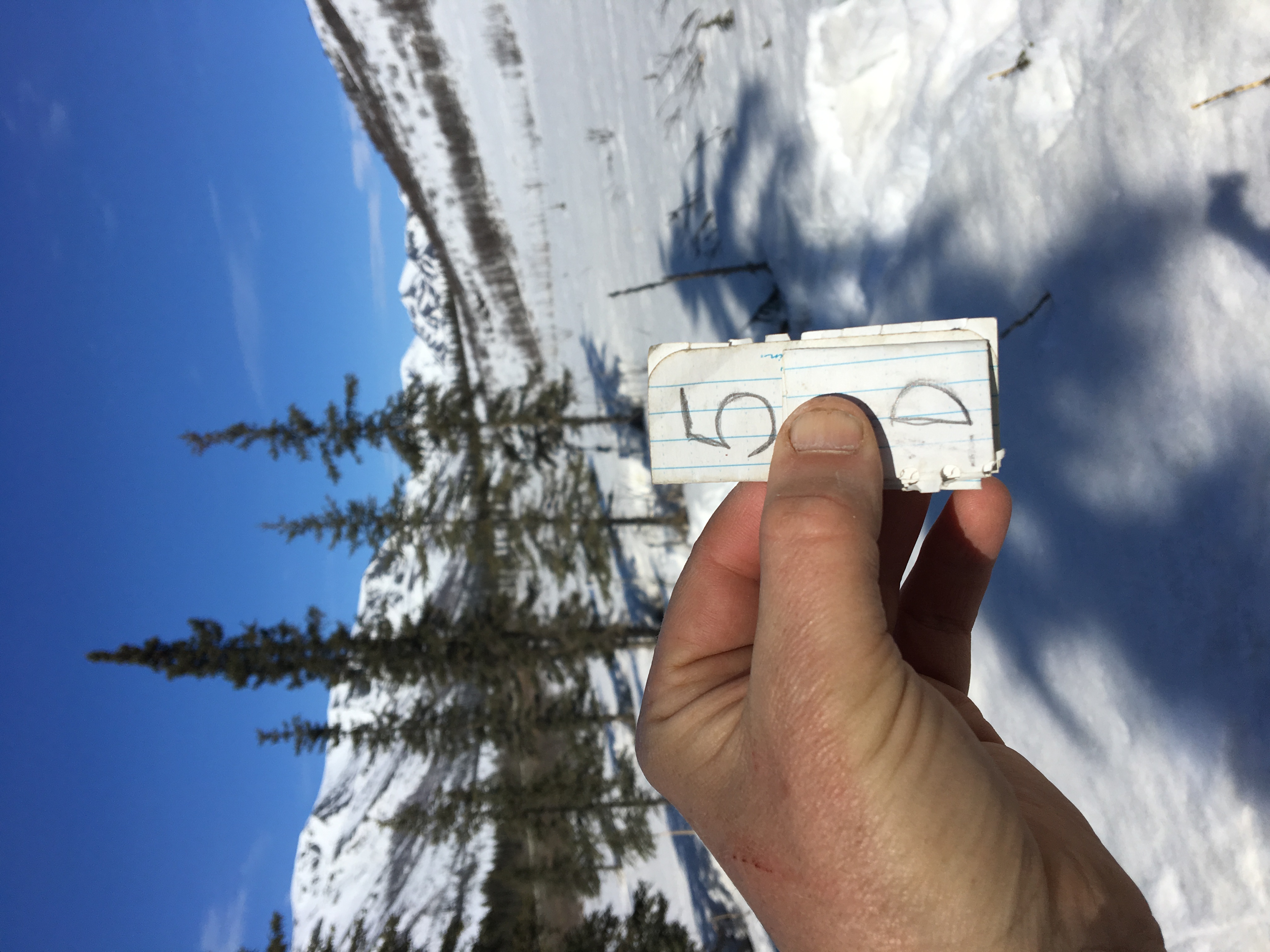
5d.JPG
-
Data Information (JPEG)JPEG
5e.JPG
-
Data Information (JPEG)JPEG
5f.JPG
-
Data Information (JPEG)JPEG
6a.JPG
-
Data Information (JPEG)JPEG
6b.JPG
-
Data Information (JPEG)JPEG
6c.JPG
-
Data Information (JPEG)JPEG
6d.JPG
-
Data Information (JPEG)JPEG
6e.JPG
-
Data Information (JPEG)JPEG
6f.JPG
-
Data Information (PDF)PDF
Radial_Growth_PRI.pdf
-
Data Information (JPEG)JPEG
1b.JPG
-
Landing PageLanding Page
Dates
| Metadata Created Date | April 11, 2025 |
|---|---|
| Metadata Updated Date | September 19, 2025 |
Metadata Source
- Data.json Data.json Metadata
Harvested from NASA Data.json
Additional Metadata
| Resource Type | Dataset |
|---|---|
| Metadata Created Date | April 11, 2025 |
| Metadata Updated Date | September 19, 2025 |
| Publisher | ORNL_DAAC |
| Maintainer | |
| Identifier | 10.3334/ORNLDAAC/1781 |
| Data Last Modified | 2025-09-10 |
| Category | Earth Science |
| Public Access Level | public |
| Bureau Code | 026:00 |
| Metadata Context | https://project-open-data.cio.gov/v1.1/schema/catalog.jsonld |
| Schema Version | https://project-open-data.cio.gov/v1.1/schema |
| Catalog Describedby | https://project-open-data.cio.gov/v1.1/schema/catalog.json |
| Harvest Object Id | f9c15ec2-c822-4d30-a830-828a7b4d23d1 |
| Harvest Source Id | 58f92550-7a01-4f00-b1b2-8dc953bd598f |
| Harvest Source Title | NASA Data.json |
| Homepage URL | https://search.earthdata.nasa.gov/search?q=Radial_Growth_PRI_1781&ac=true |
| Old Spatial | {"WestBoundingCoordinate":-149.76,"NorthBoundingCoordinate":68.0194,"EastBoundingCoordinate":-149.718,"SouthBoundingCoordinate":67.9721},"CARTESIAN" |
| Program Code | 026:000 |
| Source Datajson Identifier | True |
| Source Hash | 40c60a367dfc3ede44f327dd862142c2aaa6e8d1b38d51fd288eb03ccc8bd17c |
| Source Schema Version | 1.1 |
| Spatial | |
| Temporal | 2018-05-01/2018-05-01 |
Didn't find what you're looking for? Suggest a dataset here.