
-
Federal
S-MODE Pre-Pilot Ocean Wave Slope from Visible-Band Polarimetry at the Air-Sea Interaction Tower Version 1
National Aeronautics and Space Administration —
These wave slope data from polarimetry described below are considered preliminary and should not be used for any purpose without consulting Chris Zappa... -
Federal
S-MODE L2 Temperature and Salinity from Saildrones Version 1
National Aeronautics and Space Administration —
This dataset contains Saildrone in-situ measurements taken during the Sub-Mesoscale Ocean Dynamics Experiment (S-MODE) conducted approximately 300 km offshore of San... -
Federal
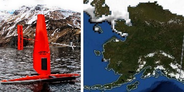
Saildrone 2022 Arctic field campaign for the Multi-Sensor Improved SST (MISST) project
National Aeronautics and Space Administration —
The Saildrone Arctic 2022 dataset presents a unique collection of high-quality, near real-time, multivariate surface ocean, and atmospheric observations obtained... -
Federal
Rongowai-CYGNSS Airborne Level 1 Science Data Record Version 1.0
National Aeronautics and Space Administration —
The Rongowai Level 1 Science Data Record Version 1.0 dataset is generated by the University of Auckland (UoA) Rongowai Science Payloads Operations Centre in New... -
Federal
ECCO Atmosphere Surface Temperature, Humidity, Wind, and Pressure - Monthly Mean 0.5 Degree (Version 4 Release 4)
National Aeronautics and Space Administration —
This dataset contains monthly-averaged atmosphere surface temperature, humidity, wind, and pressure interpolated to a regular 0.5-degree grid from the ECCO Version 4... -
Federal
SWOT Postlaunch Oceanography Field Campaign L1 Moorings
National Aeronautics and Space Administration —
The SWOT Postlaunch Oceanography Field Campaign L1 Moorings collection provides the surface air pressure, GPS, and conductivity, temperature and depth (CTD)... -
Federal
S-MODE Saildrone Level 1 Observations
National Aeronautics and Space Administration —
This dataset contains a suite of Saildrone in-situ measurements (including but not limited to temperature, salinity, currents, biochemistry, and meteorology) taken... -
Federal
ECCO Atmosphere Surface Temperature, Humidity, Wind, and Pressure - Daily Mean llc90 Grid (Version 4 Release 4)
National Aeronautics and Space Administration —
This dataset provides daily-averaged atmosphere surface temperature, humidity, winds, and pressure on the native Lat-Lon-Cap 90 (LLC90) model grid from the ECCO... -
Federal
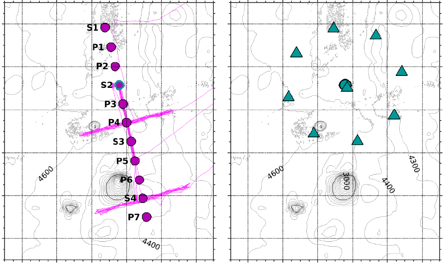
SASSIE Arctic Field Campaign Jet Surface Salinity Profiler Data Fall 2022 Version 1
National Aeronautics and Space Administration —
The Salinity and Stratification at the Sea Ice Edge (SASSIE) project is a NASA experiment that aims to understand how salinity anomalies in the upper ocean generated... -
Federal
SASSIE Arctic Field Campaign ALTO/ALAMO Profiling Float Data Fall 2022 Version 1
National Aeronautics and Space Administration —
The Salinity and Stratification at the Sea Ice Edge (SASSIE) project is a NASA experiment that aims to understand how salinity anomalies in the upper ocean generated... -
Federal
SASSIE Arctic Field Campaign L1 SWIFT Data Fall 2022
National Aeronautics and Space Administration —
The Salinity and Stratification at the Sea Ice Edge (SASSIE) project is a NASA experiment that aims to understand how salinity anomalies in the upper ocean generated... -
Federal
SMODE L2 WAVEGLIDERS TEMP SALINITY V1
National Aeronautics and Space Administration —
This dataset contains waveglider observations from the Sub-Mesoscale Ocean Dynamics Experiment (S-MODE) field campaign. The experiment was conducted approximately 300... -
Federal
S-MODE Shipboard Radiometer Measurements Version 1
National Aeronautics and Space Administration —
This dataset contains shipboard radiometer measurements taken during the Sub-Mesoscale Ocean Dynamics Experiment (S-MODE) pilot campaign conducted approximately 300... -
Federal
S-MODE L2 Shipboard Thermosalinograph, Meteorology, and Bio-optics Measurements Version 1
National Aeronautics and Space Administration —
This dataset contains shipboard thermosalinograph (TSG), meteorology, and bio-optics measurements taken during the Sub-Mesoscale Ocean Dynamics Experiment (S-MODE)... -
Federal
Saildrone 2021 Arctic field campaign for the Multi-Sensor Improved SST (MISST) project
National Aeronautics and Space Administration —
The Saildrone Arctic 2021 dataset presents a unique collection of high-quality, near real-time, multivariate surface ocean, and atmospheric observations obtained... -
Federal
SASSIE Arctic Field Campaign Shipboard Meteorology Data Fall 2022
National Aeronautics and Space Administration —
The Salinity and Stratification at the Sea Ice Edge (SASSIE) project is a NASA experiment that aims to understand how salinity anomalies in the upper ocean generated... -
Federal
S-MODE Pre-Pilot Level 1 Data from the Ka-band Ocean Doppler Scatterometer (KaBODS) at the Air-Sea Interaction Tower Version 1
National Aeronautics and Space Administration —
This data set includes tower-based Ka-band ocean surface backscatter measurements (cross section, incidence angle, radial velocity from radar, pulse-pair correlation)... -
Federal
ECCO Atmosphere Surface Temperature, Humidity, Wind, and Pressure - Monthly Mean llc90 Grid (Version 4 Release 4)
National Aeronautics and Space Administration —
This dataset provides monthly-averaged atmosphere surface temperature, humidity, winds, and pressure on the native Lat-Lon-Cap 90 (LLC90) model grid from the ECCO... -
Federal
ECCO Atmosphere Surface Temperature, Humidity, Wind, and Pressure - Daily Mean 0.5 Degree (Version 4 Release 4)
National Aeronautics and Space Administration —
This dataset contains daily-averaged atmosphere surface temperature, humidity, wind, and pressure interpolated to a regular 0.5-degree grid from the ECCO Version 4... -
Federal
SWOT Postlaunch Oceanography Field Campaign L2 Moorings
National Aeronautics and Space Administration —
The SWOT Postlaunch Oceanography Field Campaign L2 Moorings collection provides the surface air pressure, GPS, current velocity, and conductivity, temperature and...

Official websites use .gov
A
.gov website belongs to an official government
organization in the United States.
Secure .gov websites use HTTPS
A
lock (
) or https:// means you’ve safely connected to
the .gov website. Share sensitive information only on official,
secure websites.