

125 datasets found
-
Federal
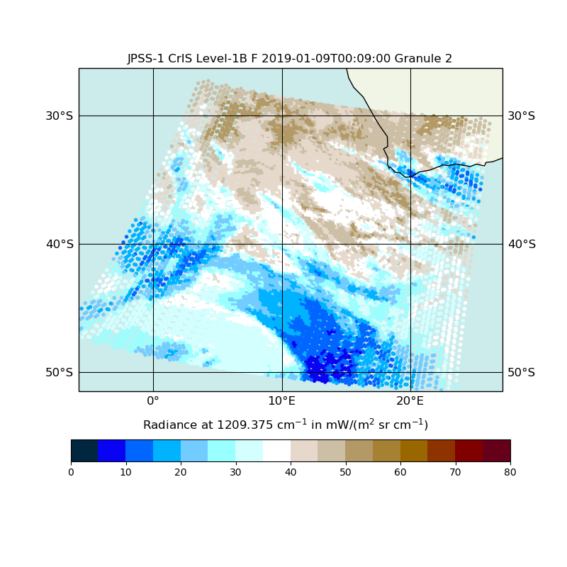
JPSS-1 CrIS Level 1B Full Spectral Resolution V2 (SNDRJ1CrISL1B) at GES DISC
National Aeronautics and Space Administration —
The Cross-track Infrared Sounder (CrIS) Level 1B Full Spectral Resolution (FSR) data files contain radiance measurements along with ancillary spacecraft, instrument,... -
Federal
MODIS-based GPP, PAR, fC4, and SANIRv estimates from SLOPE for CONUS, 2000-2019 NGDA
National Aeronautics and Space Administration —
This dataset contains estimated gross primary productivity (GPP), photosynthetically active radiation (PAR), soil adjusted near infrared reflectance of vegetation... -
Federal
SAFARI 2000 AVHRR Daily Site (1.5 km) and 15-Day Regional (1.5- and 6-km) Imagery
National Aeronautics and Space Administration —
The Global Inventory Mapping and Modeling (GIMMS) group at NASA/GSFC provided SAFARI 2000 with remotely sensed satellite data products at the site and regional level.... -
Federal
BOREAS Level-0 AOCI Imagery: Digital Counts in BIL Format
National Aeronautics and Space Administration —
The level-0 AOCI imagery, along with the other remotely sensed images, was collected to provide spatially extensive information about radiant energy over the primary... -
Federal
BOREAS Level-0 TIMS Imagery: Digital Counts in BIL Format
National Aeronautics and Space Administration —
The TIMS imagery, along with the other remotely sensed images, was collected to provide spatially extensive information over the primary study areas. This information...
125 datasets found