

137 datasets found
-
Federal
SENTINEL-1A_DUAL_POL_METADATA_GRD_MEDIUM_RES recent views
National Aeronautics and Space Administration —
Sentinel-1A Dual-pol ground projected medium resolution metadata -
Federal
OPERA Coregistered Single-Look Complex from Sentinel-1 validated product (Version 1) recent views
National Aeronautics and Space Administration —
The Observational Products for End-Users from Remote Sensing Analysis (OPERA) Coregistered Single-Look Complex (CSLC) from Sentinel-1 validated product consists of... -
Federal
Vegetation Drought Response Index (VegDRI) recent views
National Aeronautics and Space Administration —
The National Drought Mitigation Center produces VegDRI in collaboration with the US Geological Survey's (USGS) Center for Earth Resources Observation and Science... -
Federal
Delta-X: Turbidity, Water and Air Pressure, Temperature, MRD, Louisiana, 2021, V4 recent views
National Aeronautics and Space Administration —
This dataset provides turbidity measurements with co-located water and air pressure and temperature measurements in portions of the Mississippi River Delta, coastal... -
Federal
Pre-LBA ISLSCP Initiative I Data recent views
National Aeronautics and Space Administration —
This data set contains hydrology, soils, radiation, cloud, and vegetation data from the International Satellite Land Surface Climatology Project (ISLSCP) Initiative... -
Federal
Delta-X: UAVSAR L3 Water Level Changes, MRD, Louisiana, 2021 recent views
National Aeronautics and Space Administration —
This dataset contains georeferenced InSAR-derived water level change maps for Delta-X flight lines acquired during the spring (2021-03-27 to 2021-04-18) and fall... -
Federal
NLCD 2001 Version 2 recent views
National Aeronautics and Space Administration —
National Land Cover Database 2001 (NLCD2001) is a 16-class (additional four classes in Alaska only) land cover classification scheme that has been applied... -
Federal
Delta-X: Delft3D Sediment Model, Site 322, Terrebonne Basin, MRD, Louisiana, USA recent views
National Aeronautics and Space Administration —
This dataset contains the Delft3D model of the intensive site 322 in the Terrebonne Basin along the Mississippi River Delta (MRD) in coastal Louisiana. Simulations... -
Federal
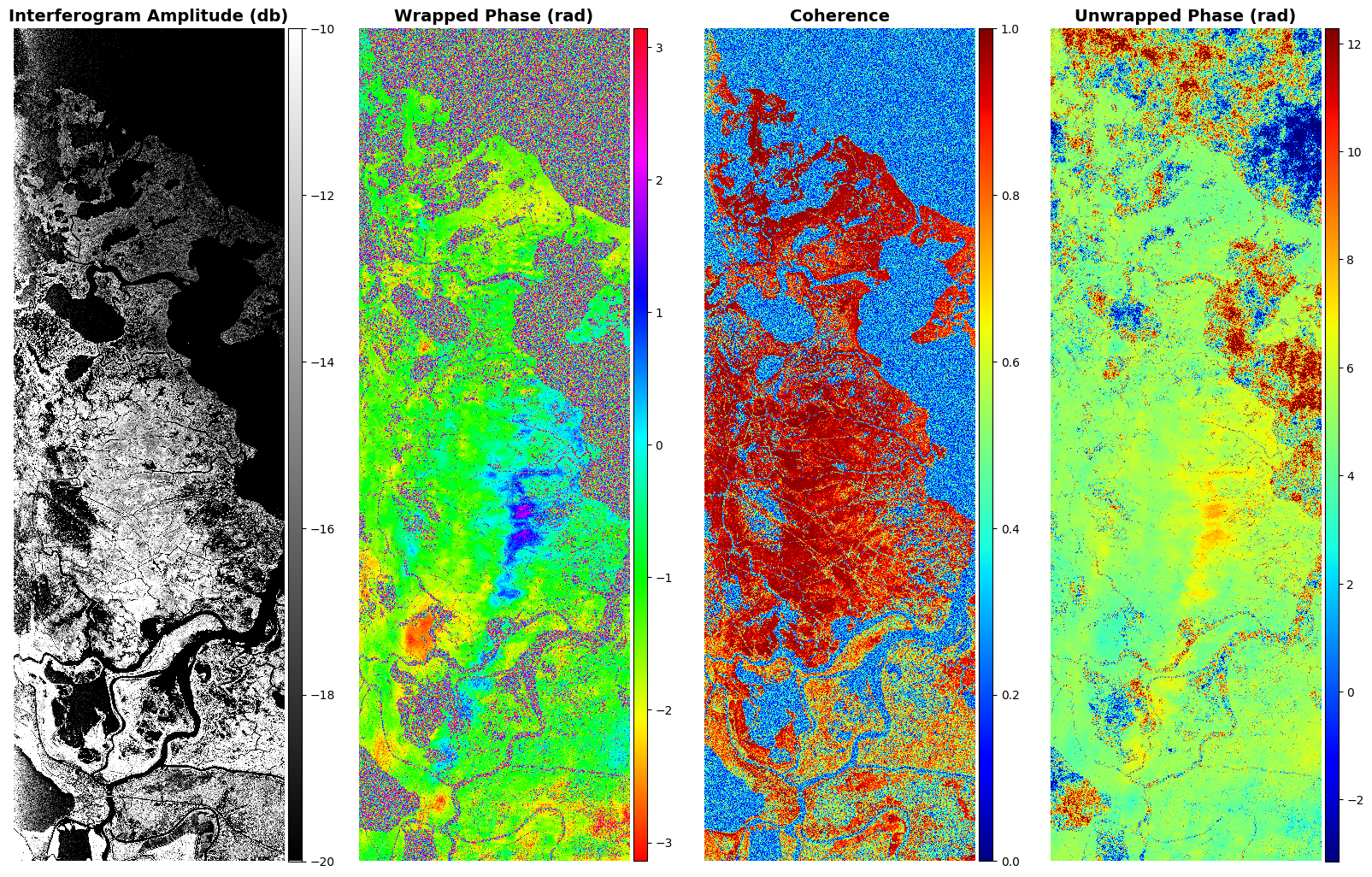
Delta-X: UAVSAR L2 Interferometric Products, MRD, Louisiana, 2021 recent views
National Aeronautics and Space Administration —
This dataset contains georeferenced UAVSAR Level 2 (L2) interferometric products for Delta-X flight lines acquired during the spring (2021-03-27 to 2021-04-18) and... -
Federal
USGS Global Fiducials recent views
National Aeronautics and Space Administration —
The Global Fiducials Library (GFL) is a long-term archive of images from U.S. National Imagery Systems which represents a long-term periodic record for selected... -
Federal
Pre-LBA FLOODAMA Project Data recent views
National Aeronautics and Space Administration —
This data set provides a digital mosaic of the Amazon River floodplain that was compiled using Landsat TM images. This mosaic was planned in July 1995 as an activity... -
Federal
ALOS_PALSAR_RTC_HIGH_RES recent views
National Aeronautics and Space Administration —
PALSAR_Radiometric_Terrain_Corrected_high_res -
Federal
SENTINEL-1A_SLC recent views
National Aeronautics and Space Administration —
Sentinel-1A slant-range product -
Federal
ALOS_PALSAR_LEVEL1.0 recent views
National Aeronautics and Space Administration —
ALOS PALSAR Level 1.0 -
Federal
Delta-X: UAVSAR L1B Interferometric Products, MRD, Louisiana, 2021 recent views
National Aeronautics and Space Administration —
This dataset contains UAVSAR Level 1B (L1B) interferometric products for Delta-X flight lines acquired during the 2021 Spring (2021-03-27 to 2021-04-18) and Fall...
137 datasets found