
-
City
Public Schools - Absolute % Change
City of Seattle —
This data layer references data from a high-resolution tree canopy change-detection layer for Seattle, Washington. Tree canopy change was mapped by using remotely... -
City
DPD council districts shore clip - Possible TC - Vegetation (%)
City of Seattle —
This data layer references data from a high-resolution tree canopy change-detection layer for Seattle, Washington. Tree canopy change was mapped by using remotely... -
Federal
Elfin Cove Alaska 1/3 arc-second MHW Coastal Digital Elevation Model
National Oceanic and Atmospheric Administration, Department of Commerce —
NOAA's National Geophysical Data Center (NGDC) is building high-resolution digital elevation models (DEMs) to support individual coastal States as part of the... -
Federal
TOVS GLA MONTHLY GRIDS from NOAA-9 V01 (TOVSAMNF) at GES DISC
National Aeronautics and Space Administration —
This dataset (TOVSAMNF) contains the TIROS Operational Vertical Sounder (TOVS) level 3 geophysical parameters derived using data from NOAA-9 and the physical... -
Federal
Puget Sound 1/3 arc-second MHW Coastal Digital Elevation Model
National Oceanic and Atmospheric Administration, Department of Commerce —
NOAA's National Geophysical Data Center (NGDC) is building high-resolution digital elevation models (DEMs) for select U.S. coastal regions. These integrated... -
Federal
NASA Landsat Data Collection
National Aeronautics and Space Administration —
The NASA Landsat Data Collection (NLDC) is a compilation of Landsat multispectral scanner (MSS) scenes and Landsat thematic mapper (TM) scenes. This compilation of... -
Federal
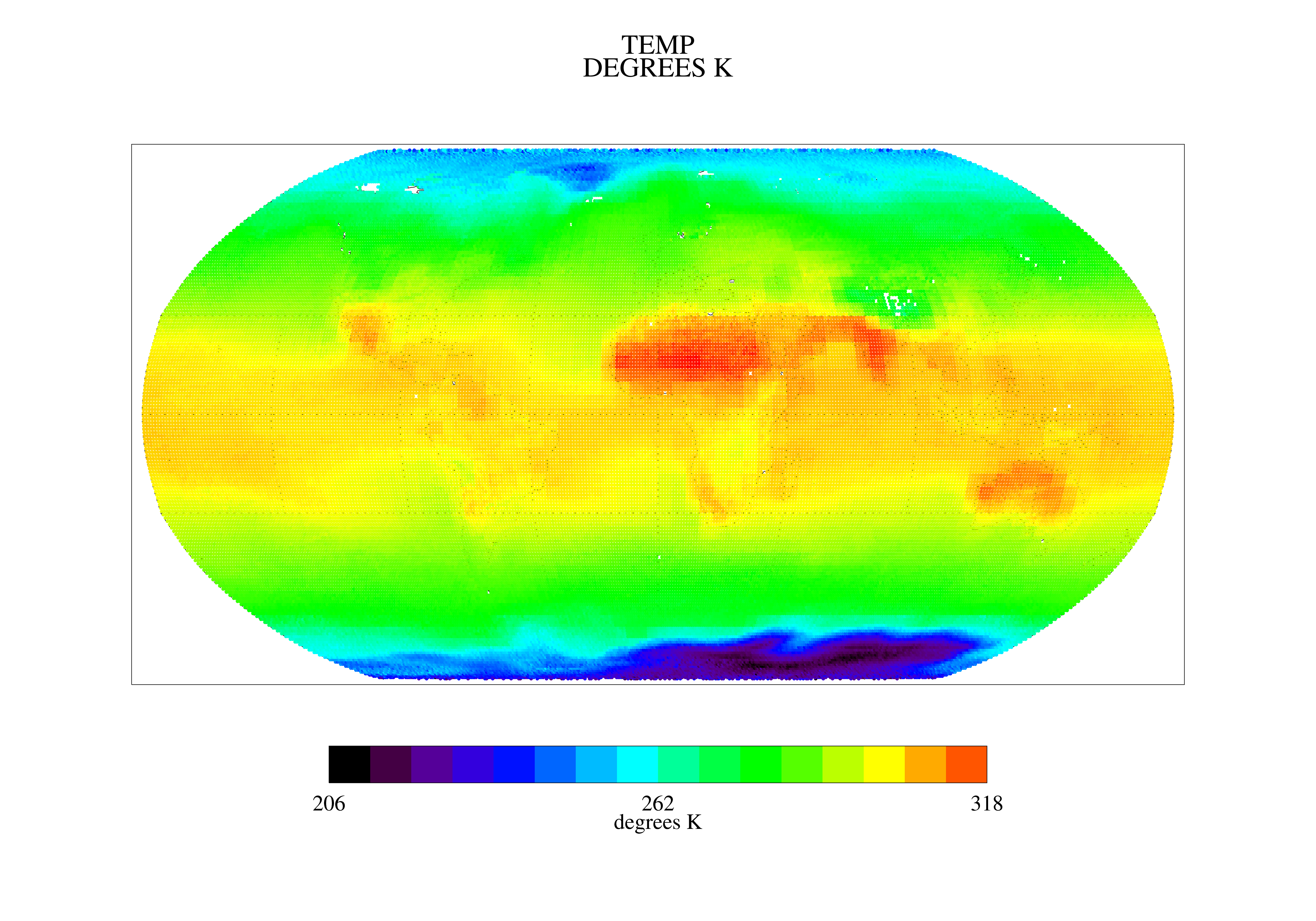
NOAA GOES-R Series Advanced Baseline Imager (ABI) Level 2 Cloud Top Temperature (ACHT)
National Oceanic and Atmospheric Administration, Department of Commerce —
The GOES-R Advanced Baseline Imager (ABI) Cloud Top Temperature product contains an image with pixel values identifying the atmospheric temperature at the top of a... -
State
30x30 Ecoregions
State of California —
This layer contains polygon features of Ecological Units for the state of California as described by ECOMAP (1993) "... mapped based on associations of those biotic... -
City
Absolute % Change
City of Seattle —
This data layer references data from a high-resolution tree canopy change-detection layer for Seattle, Washington. Tree canopy change was mapped by using remotely... -
Federal
Sound Pressure Spectral Density at 1 Hertz and 1 Hour Resolution Recorded at SanctSound Site PM08_13
National Oceanic and Atmospheric Administration, Department of Commerce —
This record represents the sound pressure spectral density (PSD) levels derived from raw passive acoustic data. The hourly PSD levels were calculated as the median of... -
Federal
SST, Pathfinder Ver 5.2 (L3C), Night, Global, 0.0417°, 1981-2012, Science Quality (Monthly Composite), Lon0360
National Oceanic and Atmospheric Administration, Department of Commerce —
This dataset contains sea surface temperature (SST) data produced as part of the Advanced Very High Resolution Radiometer (AVHRR) Pathfinder SST Project, created... -
Federal
School District Composites SY 2021-22 TL 22
Department of Education —
The National Center for Education Statistics’ (NCES) Education Demographic and Geographic Estimates (EDGE) program develops annually updated school district boundary... -
Federal
OSU Chlorophyll Bloom Product, Aqua Modis, Northwest US, 2002-2015
National Oceanic and Atmospheric Administration, Department of Commerce —
This product was developed for the Oregon coast based on the observed change between running 8-day composite chlorophyll-a (CHL) data obtained by the MODerate... -
Federal
Sound Pressure Spectral Density at 1 Hertz and 1 Hour Resolution Recorded at SanctSound Site PM08_13
National Oceanic and Atmospheric Administration, Department of Commerce —
This record represents the sound pressure spectral density (PSD) levels derived from raw passive acoustic data. The hourly PSD levels were calculated as the median of... -
Federal
Science Tree Canopy Cover (TCC) Puerto Rico USVI NGDA
Department of Agriculture —
The USDA Forest Service (USFS) builds two versions of percent tree canopy cover data, in order to serve needs of multiple user communities. These datasets encompass... -
Federal
Sentinel-3B OLCI Earth-observation Reduced Resolution (ERR) Data, version 1
National Aeronautics and Space Administration —
The Ocean and Land Colour Instrument (OLCI) is the successor to ENVISAT's Medium Resolution Imaging Spectrometer (MERIS) having additional spectral channels,... -
Federal
Wildfire Risk to Communities Risk To Potential Structures (Image Service)
Department of Agriculture —
The data included in this publication depict the 2024 version of components of wildfire risk for all lands in the United States that: 1) are landscape-wide (i.e.,... -
Federal
Annual Mean PM2.5 Components Trace Elements (TEs) 50m Urban and 1km Non-Urban Area Grids for Contiguous U.S., 2000-2019, v1
National Aeronautics and Space Administration —
The Annual Mean PM2.5 Components Trace Elements (TEs) 50m Urban and 1km Non-Urban Area Grids for Contiguous U.S., 2000-2019, v1 data set contains annual predictions... -
Federal
Santa Barbara, California 1/3 arc-second MHW Coastal Digital Elevation Model
National Oceanic and Atmospheric Administration, Department of Commerce —
NOAA's National Geophysical Data Center (NGDC) is building high-resolution digital elevation models (DEMs) for select U.S. coastal regions. These integrated... -
Federal
Seldovia, Alaska 8/15 arc-second Coastal Digital Elevation Model
National Oceanic and Atmospheric Administration, Department of Commerce —
NOAA's National Centers for Environmental Information (NCEI) is building high-resolution digital elevation models (DEMs) to support individual coastal States as part...

Official websites use .gov
A
.gov website belongs to an official government
organization in the United States.
Secure .gov websites use HTTPS
A
lock (
) or https:// means you’ve safely connected to
the .gov website. Share sensitive information only on official,
secure websites.