

114 datasets found for "Boundaries"
-
Federal
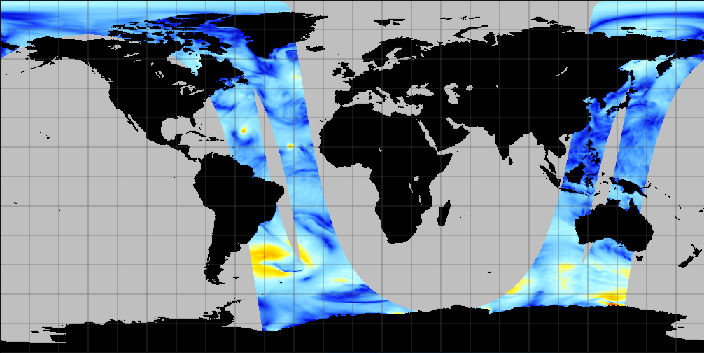
QuikSCAT ESDR Level 2 Ancillary Ocean Surface Fields Version 1.1
National Aeronautics and Space Administration —
This dataset contains model output interpolated in space and time to the ESDR product from the scatterometer on the QuikSCAT satellite, representing the first science... -
Federal
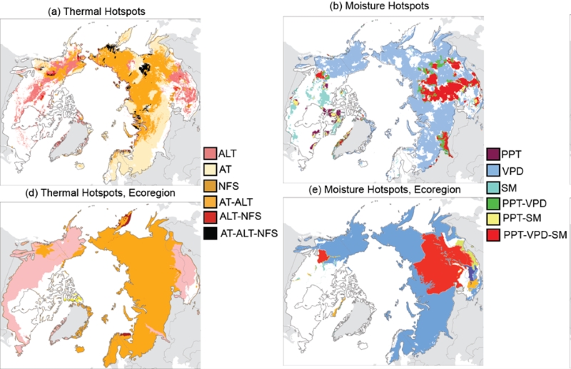
Trends of Thermal, Wetness, and Vegetative Change in the Circumpolar Arctic
National Aeronautics and Space Administration —
This dataset provides estimates of trends in temperature, moisture, and vegetation changes over the circumpolar Arctic. Time series trends were measured by the Theil-... -
Federal
SPURS-2 Rawinsonde meteorological data for the E. Tropical Pacific field campaign R/V Revelle cruises
National Aeronautics and Space Administration —
The SPURS (Salinity Processes in the Upper Ocean Regional Study) project is NASA-funded oceanographic process study and associated field program that aim to elucidate... -
Federal
Northwest Pacific Pre-SWOT Level-4 Hourly MITgcm LLC4320 Native Grid 2km Oceanographic Dataset Version 1.0
National Aeronautics and Space Administration —
This dataset provides a regional multivariate oceanographic state estimate from a global ocean numerical simulation with a focus on the Northwest Pacific Ocean... -
Federal
New Caledonia Pre-SWOT Level-4 Hourly MITgcm LLC4320 Native Grid 2km Oceanographic Dataset Version 1.0
National Aeronautics and Space Administration —
This dataset provides a regional multivariate oceanographic state estimate from a global ocean numerical simulation with a focus on the New Caledonia region. The... -
Federal
GHRSST Level 4 OSPO Global Foundation Sea Surface Temperature Analysis (GDS version 2)
National Aeronautics and Space Administration —
A Group for High Resolution Sea Surface Temperature (GHRSST) Level 4 sea surface temperature analysis produced daily on an operational basis at the Office of... -
Federal
Global Maps of Atmospheric Nitrogen Deposition, 1860, 1993, and 2050
National Aeronautics and Space Administration —
This data set provides global gridded estimates of atmospheric deposition of total inorganic nitrogen (N), NHx (NH3 and NH4+), and NOy (all oxidized forms of nitrogen... -
Federal
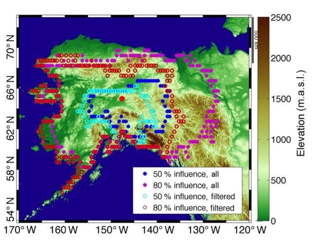
CARVE: L4 Gridded Footprints from WRF-STILT model, 2012-2016
National Aeronautics and Space Administration —
This data set provides Weather Research and Forecasting (WRF) Stochastic Time-Inverted Lagrangian Transport (STILT) Footprint data products for particle receptors... -
Federal
Cape Basin Pre-SWOT Level-4 Hourly MITgcm LLC4320 Native Grid 2km Oceanographic Dataset Version 1.0
National Aeronautics and Space Administration —
This dataset provides a regional multivariate oceanographic state estimate from a global ocean numerical simulation with a focus on the Cape Basin region. The global... -
Federal
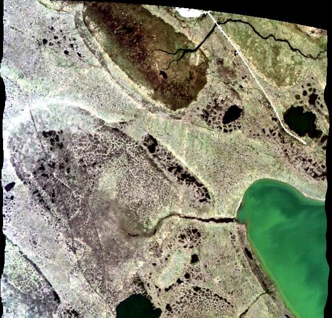
ABoVE: AVIRIS-NG Imaging Spectroscopy for Alaska, Canada, and Iceland, 2017-2022, V3
National Aeronautics and Space Administration —
This dataset supersedes the previously published ABoVE AVIRIS-NG Level 2 surface reflectance files for 2017-2019 surveys of Alaska and northwestern Canada. It also... -
Federal
Bass Strait Pre-SWOT Level-4 Hourly MITgcm LLC4320 Native Grid 2km Oceanographic Dataset Version 1.0
National Aeronautics and Space Administration —
This dataset provides a regional multivariate oceanographic state estimate from a global ocean numerical simulation with a focus on the Bass Strait region. The global... -
Federal
Northeast Weddell Sea Pre-SWOT Level-4 Hourly MITgcm LLC4320 Native Grid 2km Oceanographic Dataset Version 1.0
National Aeronautics and Space Administration —
This dataset provides a regional multivariate oceanographic state estimate from a global ocean numerical simulation with a focus on the Northeast Weddell Sea region.... -
Federal
MetOp-A ASCAT ESDR Level 2 Ancillary Ocean Surface Fields Version 1.1
National Aeronautics and Space Administration —
This dataset contains model output interpolated in space and time to observations from the MetOp-A ASCAT (ASCAT-A) instrument (a satellite-based scatterometer),... -
Federal
MODIS/Aqua Land Surface Temperature/Emissivity 8-Day L3 Global 0.05Deg CMG V006
National Aeronautics and Space Administration —
The MYD11C2 Version 6 data product was decommissioned on July 31, 2023. Users are encouraged to use the MYD11C2 Version 6.1 data product.The MYD11C2 Version 6 product...
114 datasets found for "Boundaries"