
-
Federal
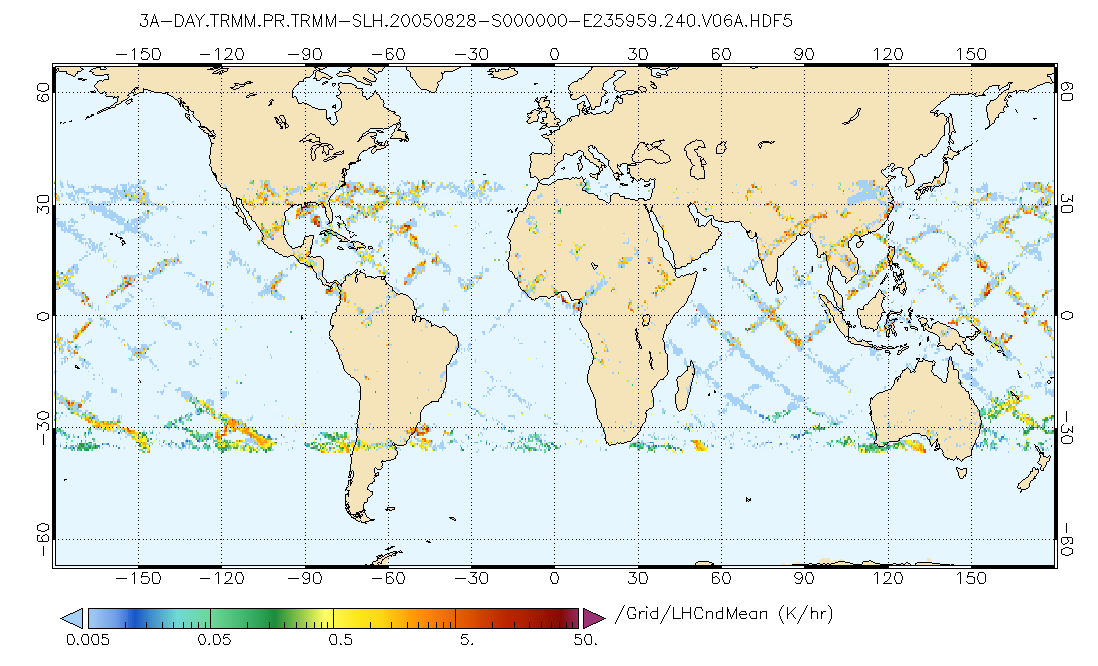
GPM PR on TRMM Spectral Latent Heating Profiles L3 1 Day 0.5x0.5 degree V07 (GPM_3HSLH_TRMM_DAY) at GES DISC
National Aeronautics and Space Administration —
This a new (GPM-formated) TRMM product. There is no equivalent in the old TRMM suite of products.Version 07 is the current version of the data set. Older versions... -
Federal
Global 15 x 15 Minute Grids of the Downscaled GDP Based on the SRES B2 Scenario, 1990 and 2025
National Aeronautics and Space Administration —
The Global 15x15 Minute Grids of the Downscaled GDP Based on the Special Report on Emissions Scenarios (SRES) B2 Scenario, 1990 and 2025, are geospatial distributions... -
Federal
Global Gravity Grids, Geoid Height and Gravity Anomaly Profiles
National Oceanic and Atmospheric Administration, Department of Commerce —
The entire collection of GEOSAT ERM (Nov.'86 - Dec. '89) data over land and ice regions is held at the National Geophysical Data Center (NGDC). These data will yield... -
Federal
Northern Hemisphere EASE-Grid 2.0 Weekly Snow Cover and Sea Ice Extent, Version 4
National Aeronautics and Space Administration —
The main parameters for this data set are snow cover and sea ice extent; both parameters are derived from SMMR and DMSP-F8, -F11, -F13, and -F17 SSM/I and SSMIS... -
Federal
Stanford Thermal Earth Model for the Conterminous United States
Department of Energy —
Provided here are various forms of the Stanford Thermal Earth Model, as well as the data and methods used for its creation. The predictions produced by this model... -
Federal
OMI/Aura Formaldehyde (HCHO) Total Column Daily L3 Weighted Mean Global 0.1deg Lat/Lon Grid V003 (OMHCHOd) at GES DISC
National Aeronautics and Space Administration —
The OMI/Aura Formaldehyde (HCHO) Total Column Daily L3 Weighted Mean Global 0.1deg Lat/Lon Grid (OMHCHOd). The formaldehyde values in each file are the average for... -
Federal
Randomized shortest paths for Grizzly Bear dispersal between the GYE and NCDE
Department of the Interior —
The Randomized Shortest Path (RSP) raster delineates potential dispersal paths for male-mediated gene flow between grizzly bear (Ursus arctos) populations in the... -
Federal
Data used by EPA researchers to generate illustrative figures for overview article "Multiscale Modeling of Background Ozone: Research Needs to Inform and Improve Air Quality Management"
U.S. Environmental Protection Agency —
Data sets used to prepare illustrative figures for the overview article “Multiscale Modeling of Background Ozone” Overview The CMAQ model output datasets used to... -
Federal
Catalog of induced earthquakes without duplicates
Department of the Interior —
The U. S. Geological Survey (USGS) makes long-term seismic hazard forecasts that are used in building codes. The hazard models usually consider only natural... -
Federal
Global Human Settlement Layer: Population and Built-Up Estimates, and Degree of Urbanization Settlement Model Grid
National Aeronautics and Space Administration —
The Global Human Settlement Layer: Population and Built-Up Estimates, and Degree of Urbanization Settlement Model Grid data set provides gridded data on human... -
Federal
Daily and Annual PM2.5 Concentrations for the Contiguous United States, 1-km Grids, v1 (2000 - 2016)
National Aeronautics and Space Administration —
The Daily and Annual PM2.5 Concentrations for the Contiguous United States, 1-km Grids, v1 (2000 - 2016) data set includes predictions of PM2.5 concentrations in grid... -
Federal
2023 USDA Plant Hardiness Zone Map Mean Annual Extreme Low Temperature Rasters
Department of Agriculture —
These rasters provide the local mean annual extreme low temperature from 1991 to 2020 in an 800m x 800m grid covering the USA (including Puerto Rico) based on... -
Federal
OSU SST Climatology V2, MODIS Aqua, West US, 2002-2003, Lon0360
National Oceanic and Atmospheric Administration, Department of Commerce —
This suite of CHLA and SST climatology and anomaly data products are derived from daily, 0.0125 degree x 0.0125 degree, MODIS Aqua CHLA and SST fields that cover the... -
Federal
Global Rural-Urban Mapping Project, Version 1 (GRUMPv1): Population Count Grid
National Aeronautics and Space Administration —
The Global Rural-Urban Mapping Project, Version 1 (GRUMPv1): Population Count Grid estimates human population for the years 1990, 1995, and 2000 by 30 arc-second (1... -
Federal
Change factors to derive projected future precipitation depth-duration-frequency (DDF) curves at 242 National Oceanic and Atmospheric Administration (NOAA) Atlas 14 stations in Florida (ver 3.0, August 2025)
Department of the Interior —
This data release consists of Microsoft Excel workbooks, shapefiles, and a figure (png format) related to a cooperative project between the U.S. Geological Survey... -
Federal
U.S. Daily Gridded Precipitation and Temperature Climate Normals for 2006-2020 (NCEI Accession 0259964)
National Oceanic and Atmospheric Administration, Department of Commerce —
The U.S. Daily Gridded Climate Normals Datasets are derived from the nClimGrid-Daily Dataset newly produced by the NOAA National Centers for Environmental Information... -
Federal
MODIS/Terra+Aqua Direct Broadcast Burned Area Monthly L3 Global 500m SIN Grid V061
National Aeronautics and Space Administration —
The Terra and Aqua combined MCD64A1 Version 6.1 Burned Area data product is a monthly, global gridded 500 meter (m) product containing per-pixel burned-area and... -
Federal
Global Drought Proportional Economic Loss Risk Deciles
National Aeronautics and Space Administration —
The Global Drought Proportional Economic Loss Risk Deciles is a 2.5 minute grid of drought hazard economic loss as proportions of Gross Domestic Product (GDP) per... -
Federal
SAFARI 2000 Carbon in Live Vegetation, 0.5-Deg (Olson)
National Aeronautics and Space Administration —
This data set is a subset of Olson's Major World Ecosystem Complexes for southern Africa in ASCII GRID and binary image files formats. Olson's Major World Ecosystem...

Official websites use .gov
A
.gov website belongs to an official government
organization in the United States.
Secure .gov websites use HTTPS
A
lock (
) or https:// means you’ve safely connected to
the .gov website. Share sensitive information only on official,
secure websites.