
-
Federal
State Summary: Colorado
Department of Veterans Affairs —
This provides a summary of the services and programs provided by VA in Colorado in fiscal year 2014. -
Federal
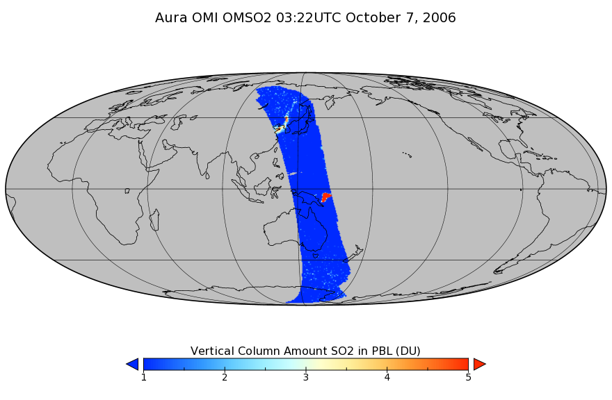
OMI/Aura Sulphur Dioxide (SO2) Total Column 1-orbit L2 Swath 13x24 km V003 (OMSO2) at GES DISC
National Aeronautics and Space Administration —
The Aura Ozone Monitoring Instrument (OMI) level 2 sulphur dioxide (SO2) total column product (OMSO2) has been updated with a principal component analysis (PCA)-based... -
Federal
TIGER/Line Shapefile, Current, County, Neosho County, KS, All Lines
U.S. Census Bureau, Department of Commerce —
The TIGER/Line shapefiles and related database files (.dbf) are an extract of selected geographic and cartographic information from the U.S. Census Bureau's Master... -
Federal
Multibeam collection for RB9702: Multibeam data collected aboard NOAA Ship RONALD H. BROWN (R104) from 10-Oct-97 to 24-Oct-97, Newport, Oregon to San Francisco, California
National Oceanic and Atmospheric Administration, Department of Commerce —
This data set is part of a larger set of data called the Multibeam Bathymetry Database (MBBDB) where other similar data can be found -
Contractor Awarded Engagements
District of Columbia —
The District of Columbia's IT STaR2 contract vehicle allows all the District's public-sector organizations to hire contractors. It streamlines and standardizes IT... -
Federal
SMAP Level 1C High Resolution Radar Sigma Naught Swath Grid Product (Version 2)
National Aeronautics and Space Administration —
SMAP Level 1C Sigma Naught High Res Product Version 2 -
Federal
TIGER/Line Shapefile, 2022, County, Rowan County, KY, Area Hydrography
U.S. Census Bureau, Department of Commerce —
The TIGER/Line shapefiles and related database files (.dbf) are an extract of selected geographic and cartographic information from the U.S. Census Bureau's Master... -
Federal
TIGER/Line Shapefile, 2023, County, Wasatch County, UT, Address Ranges Relationship File
U.S. Census Bureau, Department of Commerce —
The TIGER/Line shapefiles and related database files (.dbf) are an extract of selected geographic and cartographic information from the U.S. Census Bureau's Master... -
Federal
Coastwide Reference Monitoring System (CRMS) 2005, 2008, 2012, 2016 and 2018 Site 1069 land-water matrix
Department of the Interior —
Wetland restoration efforts conducted by the Coastal Wetlands Planning, Protection and Restoration Act (CWPPRA) in Louisiana rely on monitoring to determine the... -
Federal
Washington State Play Fairway Analysis - Passive Monitoring of St. Helens Shear Zone for Tomography and Precision Microseismic Event Detection
Department of Energy —
Data resources were derived from a passive seismic survey of the northern St. Helens Shear Zone on geothermal leases 12-24 km north of Mount St. Helens for phase 2 of... -
Federal
TIGER/Line Shapefile, 2022, County, Box Elder County, UT, Linear Hydrography
U.S. Census Bureau, Department of Commerce —
The TIGER/Line shapefiles and related database files (.dbf) are an extract of selected geographic and cartographic information from the U.S. Census Bureau's Master... -
Federal
Economic Census: Accommodation and Food Services: Establishments Using Electronic Devices for Self-Service Table Orders and/or Payment for the U.S. and States: 2017
Department of Commerce —
This dataset presents statistics for Accommodation and Food Services: Establishments Using Electronic Devices for Self-Service Table Orders and/or Payment for the... -
Federal
National Park Service Thematic Burn Severity Mosaic for CONUS in 2002
Department of the Interior —
The National Park Service (NPS) requests burn severity assessments through an agreement with the U.S. Geological Survey (USGS) to be completed by analysts with the... -
Federal
OLCI/Sentinel-3B L1 Reduced Resolution Top of Atmosphere Reflectance
National Aeronautics and Space Administration —
The OLCI/Sentinel-3B L1 Reduced Resolution Top of Atmosphere Reflectance product, S3B_OL_1_ERR is generated from the data acquired by the Ocean and Land Colour... -
Federal
Chesapeake Bay and the Outer Coasts of Maryland and Virginia 2016 ESI INVERTEBRATE Polygons, Points
National Oceanic and Atmospheric Administration, Department of Commerce —
This data set contains sensitive biological resource data for marine, estuarine, and freshwater invertebrate species, as well as terrestrial insects in Chesapeake Bay... -
Federal
TIGER/Line Shapefile, Current, County, Clay County, TX, Address Range-Feature
U.S. Census Bureau, Department of Commerce —
The TIGER/Line shapefiles and related database files (.dbf) are an extract of selected geographic and cartographic information from the U.S. Census Bureau's Master... -
University
2011 Las Conchas Post Fire, e435106_nw_sw, RGB
Earth Data Analysis Center, University of New Mexico —
Wilson and Company collected and processed multi-spectral (red, green, blue, near-infrared) digital aerial imagery of the Las Conchas Fire that burned in the Santa Fe... -
Federal
H00816: NOS Hydrographic Survey
National Oceanic and Atmospheric Administration, Department of Commerce —
The National Oceanic and Atmospheric Administration (NOAA) has the statutory mandate to collect hydrographic data in support of nautical chart compilation for safe... -
Federal
Fugro Cruise C16306 Line 0268, 75 kHz VMADCP
National Oceanic and Atmospheric Administration, Department of Commerce —
Program of vessel mount ADCP measurements comprising a combination of 300kHz and 75kHz ADCP data collected in the vicinity of the Loop Current and drilling blocks... -
Federal
SIMPLE Photometry Catalog
National Aeronautics and Space Administration —
The Spitzer IRAC/MUSYC Public Legacy Survey in the Extended Chandra Deep Field South (SIMPLE) consists of deep IRAC observations (several hours per pointing) covering...

Official websites use .gov
A
.gov website belongs to an official government
organization in the United States.
Secure .gov websites use HTTPS
A
lock (
) or https:// means you’ve safely connected to
the .gov website. Share sensitive information only on official,
secure websites.