

2,770 datasets found for "r46텔레그램RADARDB~해선DB!"
-
Federal
Reconnaissance Sediment Sampling within the Anniston Polychlorinated Biphenyl Assessment Area Downstream of Choccolocco Creek, Alabama
Department of the Interior —
Sediment chemical analysis, Coosa River, Alabama -
Federal
BLM OR Timber Production Capability Class Polygon Hub
Department of the Interior —
TPCC_POLY: Timber Production Capability Class (TPC) shows areas of BLM-managed lands in Western Oregon that are classified according to the physical and biological... -
Federal
BLM Idaho SW Montana Greater SageGrouse FINAL EIS Winter Habitat
Department of the Interior —
Greater Sage-Grouse (Centrocercus urophasianus) Winter Habitat as mapped by the Idaho Department of Fish and Game (IDFG) for the Idaho and Southwestern Montana... -
Federal
BLM OR Easements and Rights of Way Polygon Hub
Department of the Interior —
esmtrow_poly: This data set represents areal ROWs and Easements. Rights-of-Way and Easements that are linear in nature, such as roads or power lines, have associated... -
Federal
BLM OR Remote Sensing Satellite Footprint Polygon Hub
Department of the Interior —
SATELLITE_FOOTPRINT_POLY: Data consists of individual satellite generated polygons representing the footprints of individual images in a mosaic. -
Federal
BLM OR Chemical Treatments Polygon Hub
Department of the Interior —
CHEM_POLY: This dataset represents completed chemical land treatments on BLM managed lands in the states of Oregon and Washington. Chemical treatments are... -
Federal
BLM OR Biological Treatments Polygon Hub
Department of the Interior —
BIO_POLY: This dataset represents completed biological land treatments for BLM managed lands in the states of Oregon and Washington. Biological treatments are the... -
Federal
HRIR/Nimbus-3 Level 1 Meteorological Radiation Data V001 (HRIRN3L1) at GES DISC
National Aeronautics and Space Administration —
HRIRN3L1 is the High Resolution Infrared Radiometer (HRIR) Nimbus-3 Level 1 Meteorological Radiance Data (NMRT) product and contains infrared radiances converted to... -
Federal
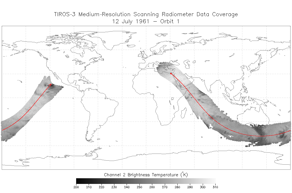
TIROS-3 Medium-Resolution Scanning Radiometer Level 1 Final Meteorological Radiation Data V001 (TIROS3L1FMRT) at GES DISC
National Aeronautics and Space Administration —
TIROS-3 Medium-Resolution Scanning Radiometer Level 1 Final Meteorological Radiation Data (FMRT) product contains radiances expressed in five infrared/visible... -
Federal
CYGNSS Level 1 Science Data Record Version 3.1
National Aeronautics and Space Administration —
This Level 1 (L1) dataset contains the Version 3.1 geo-located Delay Doppler Maps (DDMs) calibrated into Power Received (Watts) and Bistatic Radar Cross Section...
2,770 datasets found for "r46텔레그램RADARDB~해선DB!"