
-
Federal
United States Utility-Scale PV Supply Curves 2024
Department of Energy —
This data packet contains supply curves, hourly generation profiles, and a composite siting exclusion TIFF for utility-scale PV across the contiguous United States.... -
Federal
Physical Solar Model version 3 Global Horizontal Irradiance Multi-year Monthly Average
Department of Energy —
This data provides monthly average daily total solar resource averaged over surface cells of 0.038 degrees in both latitude and longitude, or nominally 4 km in size.... -
Federal
Airport and Heliport Setbacks
Department of Energy —
This dataset represents a first-order quantification of airport and heliport setback requirements based on the Federal Aviation Administration (FAA) 14 CFR Part 77.9.... -
Federal
Process Monitoring Dataset from the Additive Manufacturing Metrology Testbed (AMMT): Overhang Part X4
National Institute of Standards and Technology —
This dataset includes files from the experiment titled 'OverhangPartX4' pertaining to a three-dimensional (3D) additive manufacturing (AM) build performed on the... -
Federal
Fallon FORGE: Well Data, Geophysical Data, and Geologic Maps
Department of Energy —
The data is associated to the Fallon FORGE project and includes mudlogs for all wells used to characterize the subsurface, as wells as gravity, magnetotelluric,... -
Federal
Process-structure-properties investigations for laser powder bed fused IN718 in the as-built condition
National Institute of Standards and Technology —
This data repository provides a central location for a body of work using one build of nickel-based alloy 718 (IN718) material and resulted in three different... -
Federal
United States Land-based Wind Supply Curves 2024
Department of Energy —
This data packet contains supply curves, hourly generation profiles, and a composite siting exclusion TIFF for land-based wind across the contiguous United States.... -
Federal
2023 USDA Plant Hardiness Zone Map Mean Annual Extreme Low Temperature Rasters
Department of Agriculture —
These rasters provide the local mean annual extreme low temperature from 1991 to 2020 in an 800m x 800m grid covering the USA (including Puerto Rico) based on... -
Federal
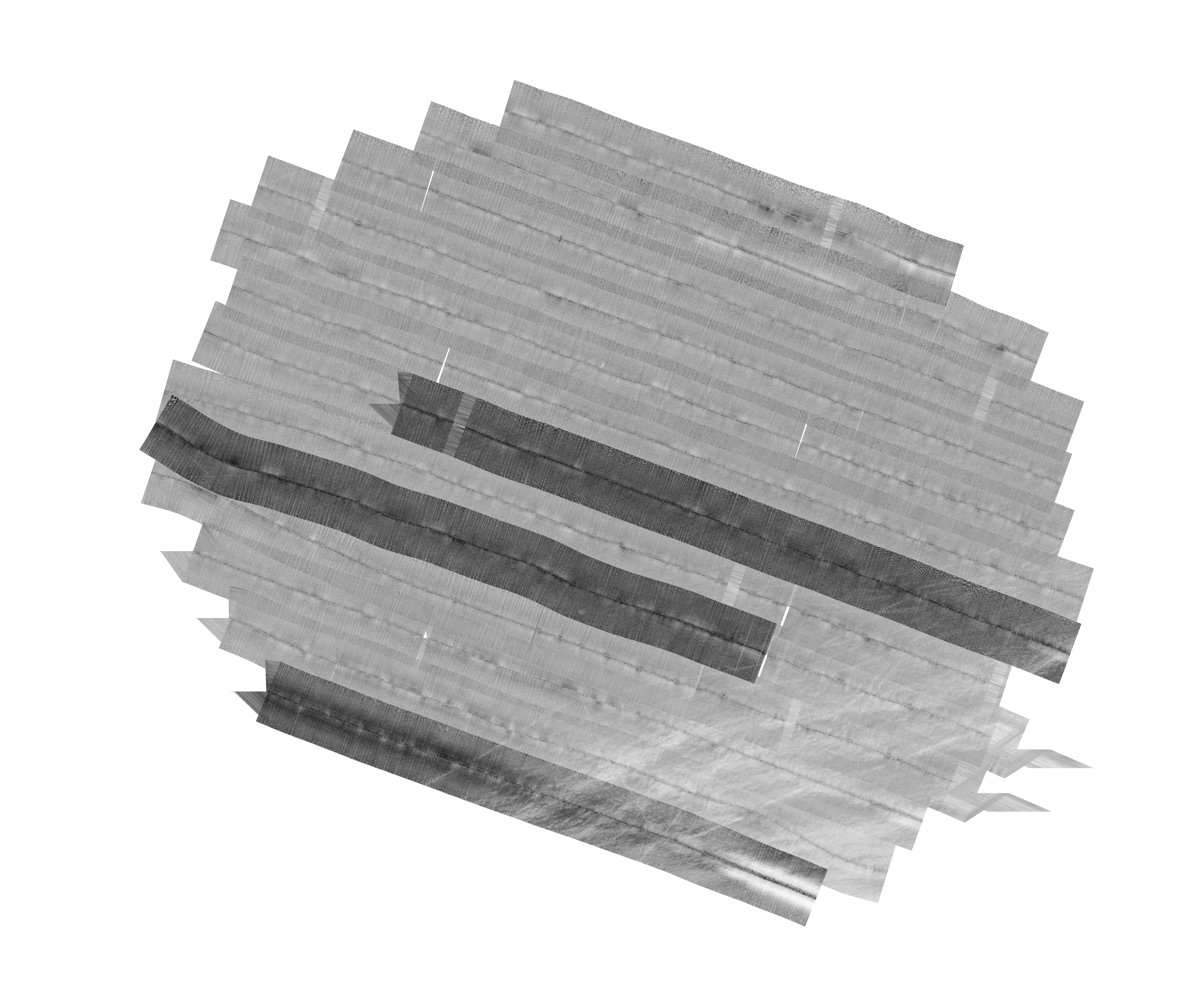
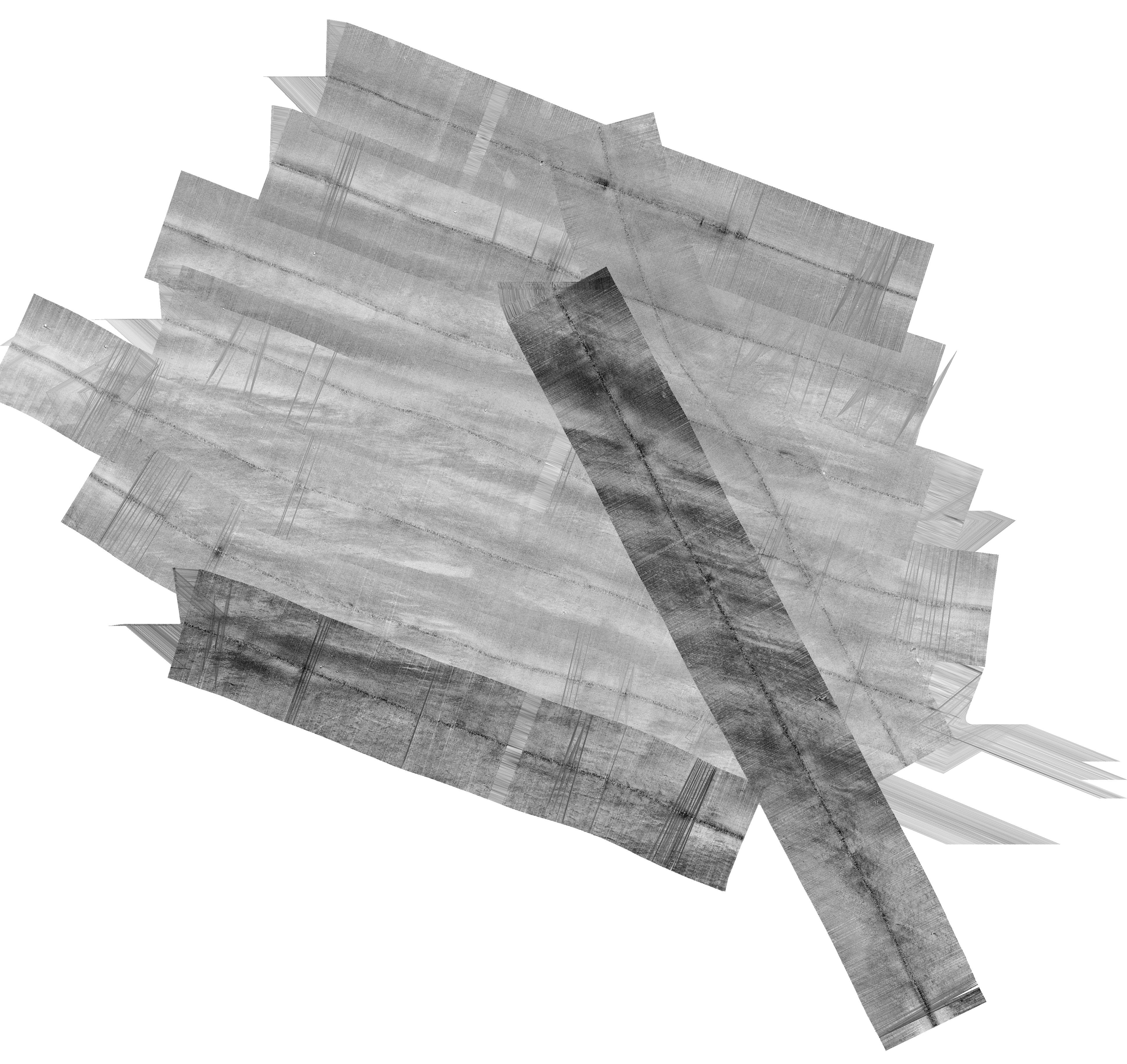
H12829: NOS Hydrographic Survey , 2015-08-12
National Oceanic and Atmospheric Administration, Department of Commerce —
The National Oceanic and Atmospheric Administration (NOAA) has the statutory mandate to collect hydrographic data in support of nautical chart compilation for safe... -
Federal
Land of Opportunity: Geothermal, Land-based Wind, and Solar PV Potential on Federal Lands
Department of Energy —
This data packet contains supply curves and a composite siting exclusion TIFF for geothermal, land-based wind, and solar PV across the contiguous United States with... -
Federal
AMB2025-03 High-Cycle Rotating Bending Fatigue Tests of PBF-L Ti-6Al-4V
National Institute of Standards and Technology —
Specimens from one build of laser powder bed fusion (PBF-L) titanium alloy (Ti-6Al-4V) were split equally into two heat treatment conditions. The first condition is a... -
Federal
Wind Turbine Road Setbacks: Ordinances (2022) and Extrapolated Trends, 115 Hub Height 170 Rotor Diameter
Department of Energy —
This dataset represents wind energy setback requirements from roads based on existing county ordinances as of April 2022. A setback requirement is a minimum distance... -
Federal
Hurricane Maria Wind-Field Model for Puerto Rico
National Institute of Standards and Technology —
This data comprises the wind-field model for Hurricane Maria in Puerto Rico, which occurred in 2017. Wind speeds are reported as equivalent three-second peak gust... -
Federal
H11830: NOS Hydrographic Survey , Gulf of Mexico, 2009-09-30
National Oceanic and Atmospheric Administration, Department of Commerce —
The National Oceanic and Atmospheric Administration (NOAA) has the statutory mandate to collect hydrographic data in support of nautical chart compilation for safe... -
Federal
F00508: NOS Hydrographic Survey , Wildcat Knoll Mapping Project, Massachusetts, 2005-08-08
National Oceanic and Atmospheric Administration, Department of Commerce —
The National Oceanic and Atmospheric Administration (NOAA) has the statutory mandate to collect hydrographic data in support of nautical chart compilation for safe... -
Federal
Utah FORGE: Geologic, Topographic, and Other Related Maps and GIS Data from the Earth Model
Department of Energy —
This submission contains a number of maps and shapefiles related to the Utah FORGE site. Examples include geologic maps (several variations) and GIS data for the Utah... -
Federal
H12132: NOS Hydrographic Survey , Thunder Bay, Michigan, 2010-11-04
National Oceanic and Atmospheric Administration, Department of Commerce —
The National Oceanic and Atmospheric Administration (NOAA) has the statutory mandate to collect hydrographic data in support of nautical chart compilation for safe... -
Federal
Process Monitoring Dataset from the Additive Manufacturing Metrology Testbed (AMMT): Overhang Part X16
National Institute of Standards and Technology —
This dataset includes files from the experiment titled OverhangPartX16 pertaining to a three-dimensional (3D) additive manufacturing (AM) build performed on the... -
Federal
H13384: NOS Hydrographic Survey , 2021-03-10
National Oceanic and Atmospheric Administration, Department of Commerce —
The National Oceanic and Atmospheric Administration (NOAA) has the statutory mandate to collect hydrographic data in support of nautical chart compilation for safe...

Official websites use .gov
A
.gov website belongs to an official government
organization in the United States.
Secure .gov websites use HTTPS
A
lock (
) or https:// means you’ve safely connected to
the .gov website. Share sensitive information only on official,
secure websites.