
-
Federal
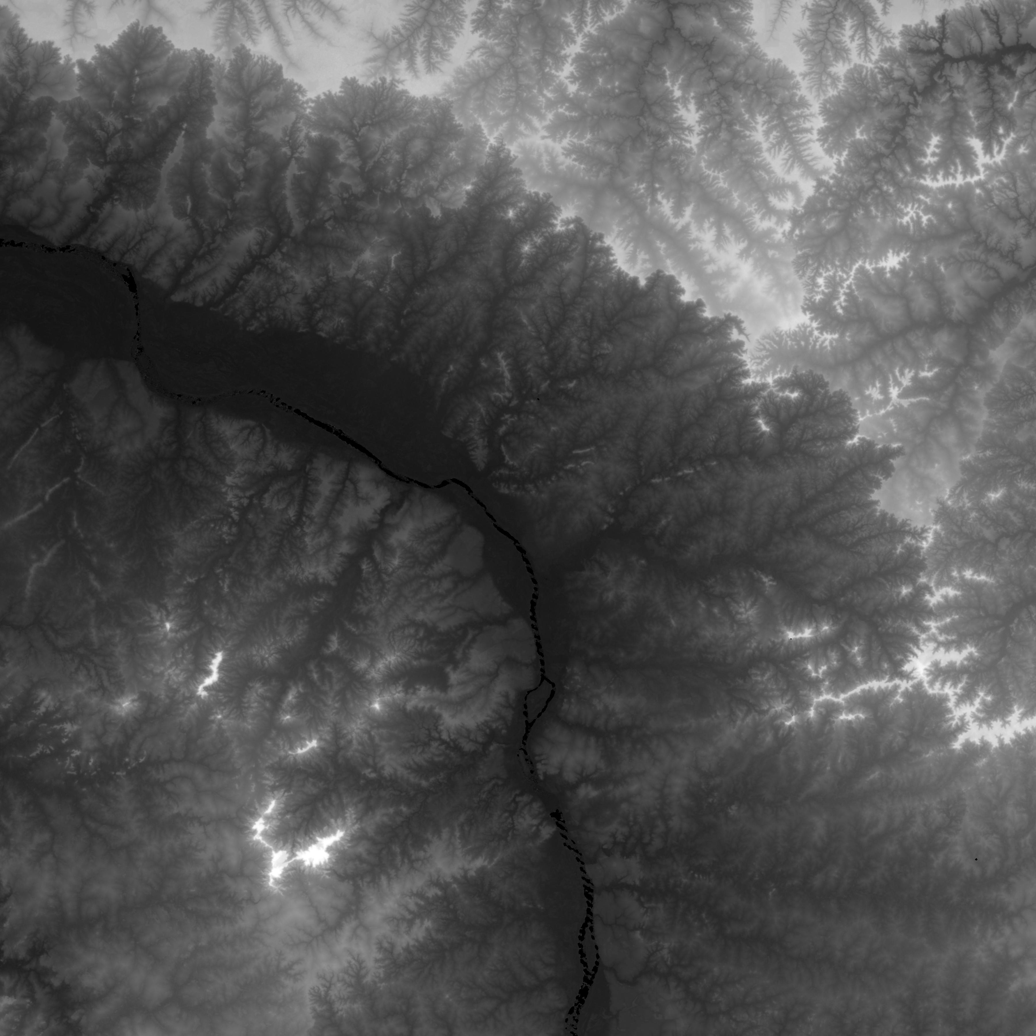
ASTER Global Digital Elevation Model V003
National Aeronautics and Space Administration —
The Terra Advanced Spaceborne Thermal Emission and Reflection Radiometer (ASTER) Global Digital Elevation Model (GDEM) Version 3 (ASTGTM) provides a global digital... -
Federal
Global Landslide Hazard Distribution
National Aeronautics and Space Administration —
The Global Landslide Hazard Distribution is a 2.5 minute grid of global landslide and snow avalanche hazards based upon work of the Norwegian Geotechnical Institute... -
Federal
SWOT Level 2 Lake Single-Pass Vector Data Product, Version 2.0
National Aeronautics and Space Administration —
The SWOT Level 2 Lake Single-Pass Vector Data Product from the Surface Water Ocean Topography (SWOT) mission provides water surface elevation, area, storage change... -
Federal
LiDAR Surveys over Selected Forest Research Sites, Brazilian Amazon, 2008-2018
National Aeronautics and Space Administration —
This dataset provides the complete catalog of point cloud data collected during LiDAR surveys over selected forest research sites across the Amazon rainforest in... -
Federal
SWOT Level 2 Lake Single-Pass Vector Unassigned Data Product, Version 2.0
National Aeronautics and Space Administration —
The SWOT Level 2 Lake Single-Pass Vector Unassigned Data Product from the Surface Water Ocean Topography (SWOT) mission provides water surface elevation, area,... -
Federal
NASA-SSH Along-Track Sea Surface Height from Standardized Reference Missions Version 1
National Aeronautics and Space Administration —
The NASA-SSH Along-Track Sea Surface Height from Standardized Reference Missions Version 1 dataset produced by NASA provide observations of sea surface height, or sea... -
Federal
Altimeter Corrected Elevations, Version 2 (ACE2)
National Aeronautics and Space Administration —
The Altimeter Corrected Elevations, Version 2 (ACE2) data set, is the Global Digital Elevation Model (GDEM) created by using multi-mission Satellite Radar Altimetry... -
Federal
SWOT Sword of Science River Discharge Products Version 1
National Aeronautics and Space Administration —
The SWOT Sword of Science River Discharge Products dataset from the Surface Water and Ocean Topography (SWOT) mission and produced by the Discharge Algorithm Working... -
Federal
Delta-X: Digital Elevation Model, MRD, LA, USA, 2021
National Aeronautics and Space Administration —
This dataset provides an updated digital elevation model (DEM) for the Atchafalaya and Terrebonne basins in coastal Louisiana, USA. The DEM is updated from the Pre-... -
Federal
NASADEM SRTM-only Height and Height Precision Mosaic Global 1 arc second V001
National Aeronautics and Space Administration —
The Land Processes Distributed Active Archive Center (LP DAAC) is responsible for the archive and distribution of NASA Making Earth System Data Records for Use in... -
Federal
SWOT Level 2 Nadir Altimeter Geophysical Data Record with Waveforms - GDR Version D
National Aeronautics and Space Administration —
The SWOT Level 2 Nadir Altimeter Geophysical Data Record (GDR) with Waveforms dataset produced by the Surface Water and Ocean Topography (SWOT) mission provides sea... -
Federal
SWOT Level 2 Nadir Altimeter Interim Geophysical Data Record with Waveforms - SSHA, Version 2.0
National Aeronautics and Space Administration —
Same as L2_NALT_GDR, using preliminary values for some auxiliary data. Uses Medium-accuracy (preliminary) Orbit Ephemeris (MOE). Available with latency of < 1.5... -
Federal
SWOT Level 2 KaRIn Low Rate Sea Surface Height Data Product - Unsmoothed, Version 2.0
National Aeronautics and Space Administration —
The SWOT Level 2 KaRIn Low Rate Sea Surface Height Unsmoothed Data Product from the Surface Water Ocean Topography (SWOT) mission provides global sea surface height... -
Federal
Global Food Security-support Analysis Data (GFSAD) Cropland Extent 2015 Europe, Central Asia, Russia, Middle East product 30 m V001
National Aeronautics and Space Administration —
The NASA Making Earth System Data Records for Use in Research Environments (MEaSUREs) Global Food Security-support Analysis Data (GFSAD) data product provides... -
Federal
Sentinel-6A MF Jason-CS L2 Advanced Microwave Radiometer (AMR-C) STC Geophysical Parameters
National Aeronautics and Space Administration —
Provides L2 short time critical (STC; 36-hour latency) geophysical information from the Advanced Microwave Radiometer on the Sentinel-6A Michael Freilich spacecraft... -
Federal
National Aggregates of Geospatial Data Collection: Population, Landscape, And Climate Estimates, Version 4 (PLACE IV)
National Aeronautics and Space Administration —
The National Aggregates of Geospatial Data Collection: Population, Landscape, And Climate Estimates, Version 4 (PLACE IV) provides measures of population (head... -
Federal
ASTER Digital Elevation Model V004
National Aeronautics and Space Administration —
The Terra Advanced Spaceborne Thermal Emission and Reflection Radiometer (ASTER) Digital Elevation Model (AST14DEM) product is generated using bands 3N (nadir-... -
Federal
SWOT Level 2 River Single-Pass Vector Reach Data Product, Version 2.0
National Aeronautics and Space Administration —
The SWOT Level 2 River Single-Pass Vector Reach Data Product from the Surface Water Ocean Topography (SWOT) mission provides water surface elevation, slope, width,... -
Federal
SWOT Level 2 Water Mask Raster Image 250m Data Product, Version 2.0
National Aeronautics and Space Administration —
The SWOT Level 2 Water Mask Raster Image 250m Data Product from the Surface Water Ocean Topography (SWOT) mission provides global surface water elevation and... -
Federal
SWOT Level 2 Water Mask Raster Image 100m Data Product, Version 2.0
National Aeronautics and Space Administration —
The SWOT Level 2 Water Mask Raster Image 100m Data Product from the Surface Water Ocean Topography (SWOT) mission provides global surface water elevation and...

Official websites use .gov
A
.gov website belongs to an official government
organization in the United States.
Secure .gov websites use HTTPS
A
lock (
) or https:// means you’ve safely connected to
the .gov website. Share sensitive information only on official,
secure websites.