

SWOT Sword of Science River Discharge Products Version 1
Access & Use Information
Public: This dataset is intended for public access and use.
License: No license information was provided. If this work was prepared by an officer or employee of the United States government as part of that person's official duties it is considered a U.S. Government Work.
Downloads & Resources
-
Data Information (Unknown Format)BIN
-
Data Information (Unknown Format)BIN
-
Data Information (Unknown Format)BIN
-
Data Information (Unknown Format)BIN
-
Data Information (Unknown Format)BIN
-
Data Information (Unknown Format)BIN
-
Data Information (Unknown Format)BIN
-
Data Information (HTML)HTML
SWOT_L4_DAWG_SOS_DISCHARGE.html
-
Data Information (HTML)HTML
SWOT_L4_DAWG_SOS_DISCHARGE_gauges.html
-
Data Information (HTML)HTML
SWOT_L4_DAWG_SOS_DISCHARGE_gauges_plot_all.html
-
Data Information (HTML)HTML
SWOT_L4_DAWG_SOS_DISCHARGE_visualize.html
-
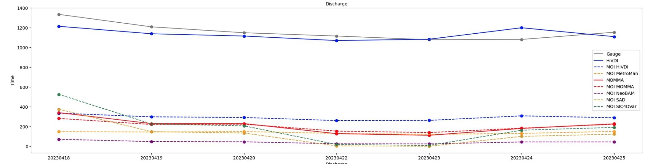
Data Information (JPEG)JPEG
SWOT_L4_DAWG_SOS_DISCHARGE.jpg
-
Landing PageLanding Page
Dates
| Metadata Created Date | April 11, 2025 |
|---|---|
| Metadata Updated Date | September 18, 2025 |
Metadata Source
- Data.json Data.json Metadata
Harvested from NASA Data.json
Additional Metadata
| Resource Type | Dataset |
|---|---|
| Metadata Created Date | April 11, 2025 |
| Metadata Updated Date | September 18, 2025 |
| Publisher | NASA/JPL/PODAAC |
| Maintainer | |
| Identifier | 10.5067/SWOT-SOS-V1 |
| Data Last Modified | 2025-09-11 |
| Category | Earth Science |
| Public Access Level | public |
| Bureau Code | 026:00 |
| Metadata Context | https://project-open-data.cio.gov/v1.1/schema/catalog.jsonld |
| Schema Version | https://project-open-data.cio.gov/v1.1/schema |
| Catalog Describedby | https://project-open-data.cio.gov/v1.1/schema/catalog.json |
| Harvest Object Id | 427d8bea-7daf-4b72-b0cd-f9e2f27e861d |
| Harvest Source Id | 58f92550-7a01-4f00-b1b2-8dc953bd598f |
| Harvest Source Title | NASA Data.json |
| Homepage URL | https://podaac.jpl.nasa.gov/CitingPODAAC |
| Old Spatial | "CARTESIAN",{"NorthBoundingCoordinate":90,"WestBoundingCoordinate":-180,"EastBoundingCoordinate":180,"SouthBoundingCoordinate":-90} |
| Program Code | 026:000 |
| Source Datajson Identifier | True |
| Source Hash | 301d5c8fff66ce4ed73458844c5d87ac31f2b7efb068e619c109680365e446a1 |
| Source Schema Version | 1.1 |
| Spatial | |
| Temporal | 1980-01-01/1980-01-01 |
Didn't find what you're looking for? Suggest a dataset here.