
-
Federal
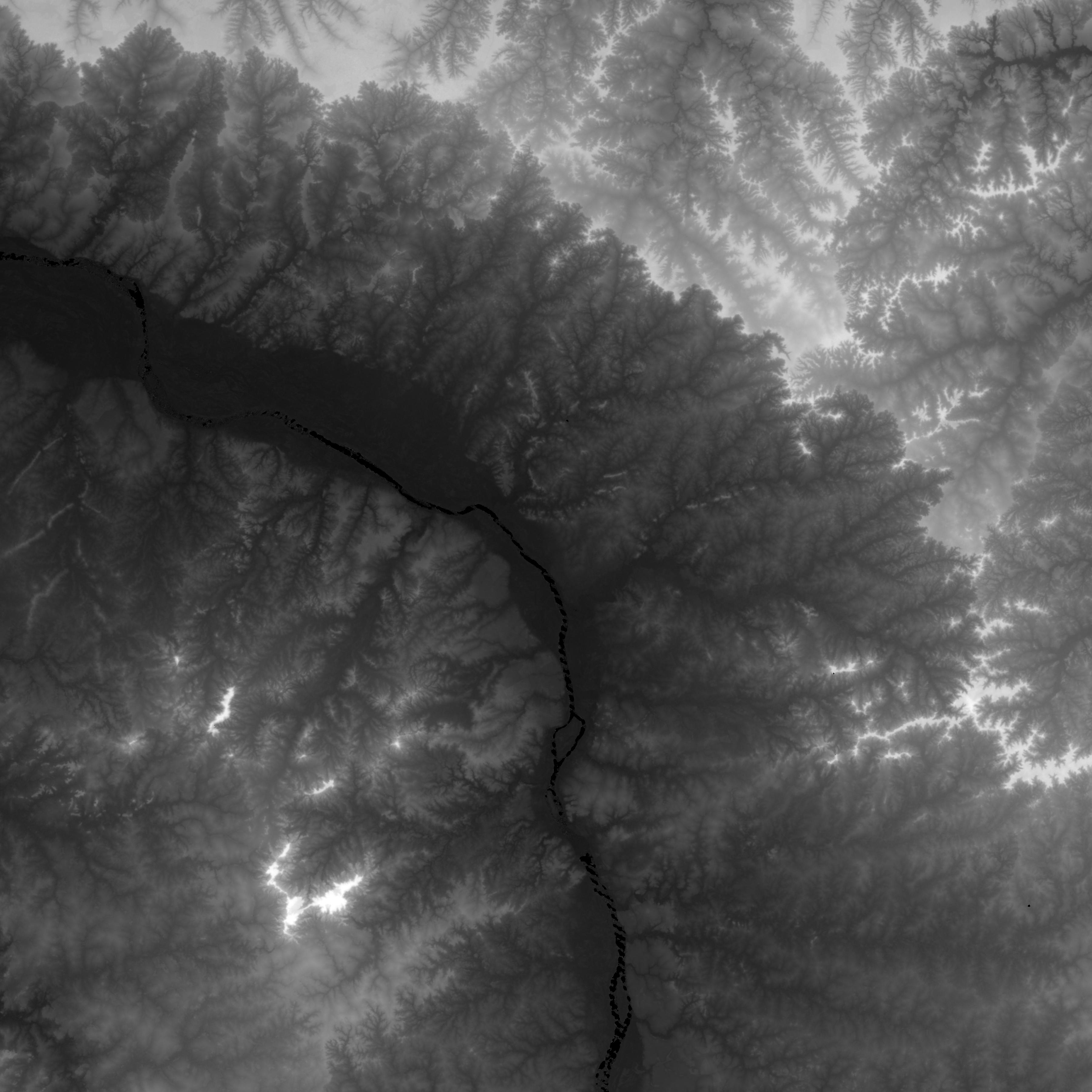
ASTER Digital Elevation Model V003
National Aeronautics and Space Administration —
The Terra Advanced Spaceborne Thermal Emission and Reflection Radiometer (ASTER) Digital Elevation Model (AST14DEM) product is generated using bands 3N (nadir-... -
Federal
OCO-2 Level 0 spacecraft attitude data V11 (OCO2_Att) at GES DISC
National Aeronautics and Space Administration —
Version 11 is the current version of the data set. Older versions will no longer be available and are superseded by Version 11. The Orbiting Carbon Observatory is the... -
Federal
OCO-2 Level 0 spacecraft attitude data V11.2 (OCO2_Att) at GES DISC
National Aeronautics and Space Administration —
Version 11.2 is the current version of the data set. Older versions will no longer be available and are superseded by Version 11.2 The Orbiting Carbon Observatory is... -
Federal
ASTER Level 1 Precision Terrain Corrected Registered At-Sensor Radiance V031
National Aeronautics and Space Administration —
The Terra Advanced Spaceborne Thermal Emission and Reflection Radiometer (ASTER) Level 1 Precision Terrain Corrected Registered At-Sensor Radiance (AST_L1T) Version... -
Federal
NASADEM SRTM-only Height and Height Precision Mosaic Global 1 arc second V001
National Aeronautics and Space Administration —
The Land Processes Distributed Active Archive Center (LP DAAC) is responsible for the archive and distribution of NASA Making Earth System Data Records for Use in... -
Federal
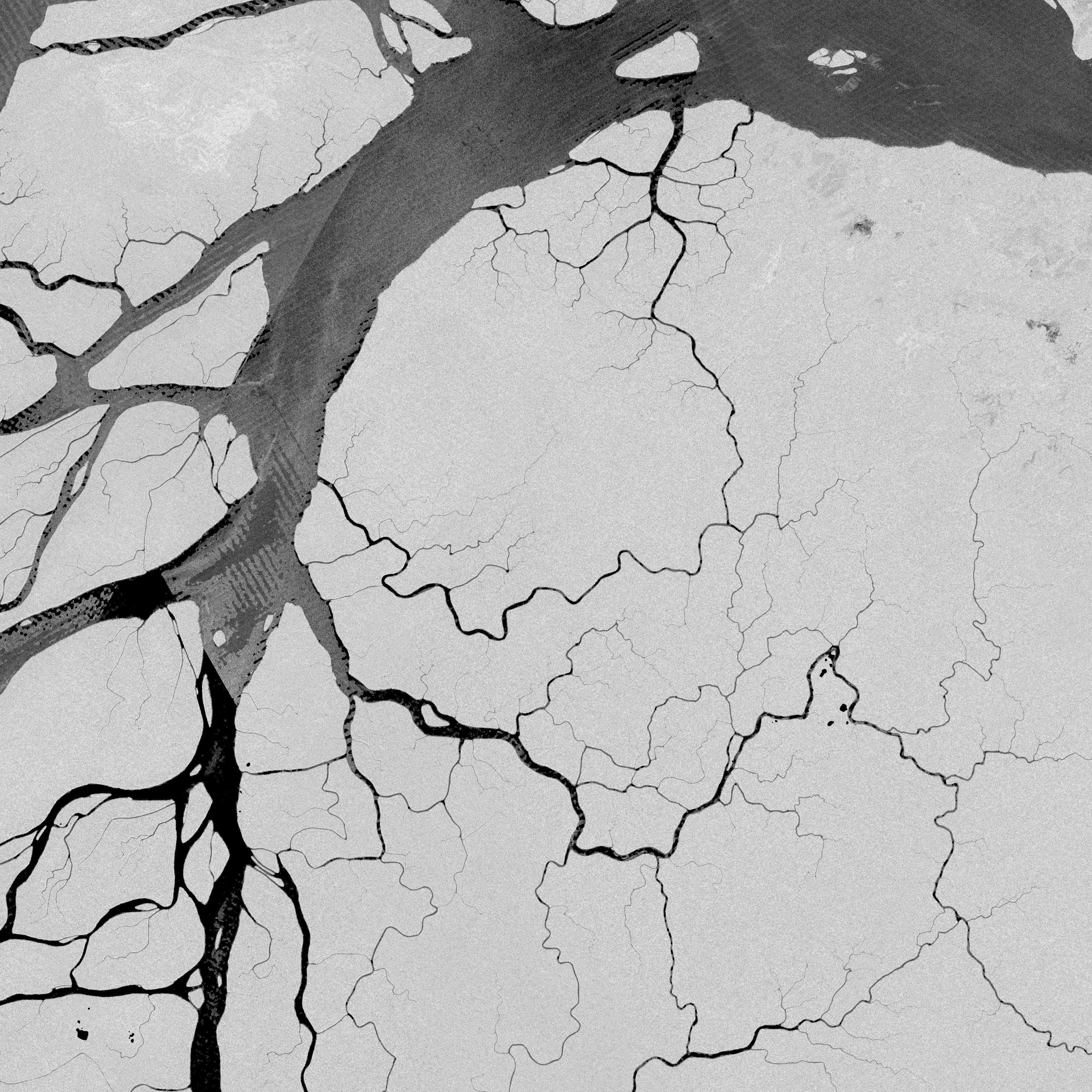
SWOT Level 2 Water Mask Pixel Cloud Data Product, Version D
National Aeronautics and Space Administration —
The SWOT Level 2 Water Mask Pixel Cloud Product (SWOT_L2_HR_PIXC_D) provides high-resolution, geolocated observations of terrestrial surface water pixels detected by... -
Federal
Metop-A ASCAT Inter-Calibrated ESDR Level 2 Observed and Modeled Spatial Derivatives of Surface Wind and Wind Stress Version 1.0
National Aeronautics and Space Administration —
This dataset contains the curl and divergence of ocean surface equivalent neutral wind and wind stress, derived from satellite-based scatterometer observations (the... -
Federal
Multispectral Imagery, NDVI, and Terrain Models, Big Trail Lake, Fairbanks, AK, 2019
National Aeronautics and Space Administration —
This dataset provides multispectral reflectance imagery (green at 550 nm, red at 660 nm, red edge at 735 nm, and near-infrared at 790 nm), normalized difference... -
Federal
Metop-B ASCAT Inter-Calibrated ESDR Level 2 Observed and Modeled Spatial Derivatives of Surface Wind and Wind Stress Version 1.0
National Aeronautics and Space Administration —
This dataset contains the curl and divergence of ocean surface equivalent neutral wind and wind stress, derived from satellite-based scatterometer observations (the... -
Federal
OCO-2 Level 0 spacecraft attitude data, Retrospective Processing V11r (OCO2_Att) at GES DISC
National Aeronautics and Space Administration —
Version 11r is the current version of the data set. Older versions will no longer be available and are superseded by Version 11r. The Orbiting Carbon Observatory is... -
Federal
Transcriptome Profiles in Normal Human Bronchial Epithelial Cells after Exposure to gamma-rays and different HZE particles
National Aeronautics and Space Administration —
Distinct transcriptome profiles in response to low-LET and high-LET and different radiation qualities of HZE particles. Total RNA obtained from HBEC3KT cells after 1... -
Federal
ASTER Level 1T Precision Terrain Corrected Registered At-Sensor Radiance V004
National Aeronautics and Space Administration —
The Terra Advanced Spaceborne Thermal Emission and Reflection Radiometer (ASTER) Level 1 Precision Terrain Corrected Registered At-Sensor Radiance (AST_L1T) data... -
Federal
SCATSAT-1 Scatterometer Inter-Calibrated ESDR Level 2 Ocean Surface Equivalent Neutral Wind Vectors and Wind Stress Vectors Version 1.1
National Aeronautics and Space Administration —
This dataset contains ocean surface wind vectors (equivalent neutral and true 10m) and wind stress vectors derived from satellite-based scatterometer observations... -
Federal
NASADEM Merged DEM Global 1 arc second V001
National Aeronautics and Space Administration —
The Land Processes Distributed Active Archive Center (LP DAAC) is responsible for the archive and distribution of the NASA Making Earth System Data Records for Use in... -
Federal
CYGNSS Level 2 Science Data Record Version 3.2
National Aeronautics and Space Administration —
This dataset contains the version 3.2 CYGNSS level 2 science data record which provides the time-tagged and geolocated average wind speed (m/s) and mean square slope... -
Federal
ASTER Orthorectified Digital Elevation Model (DEM) V003
National Aeronautics and Space Administration —
The Terra Advanced Spaceborne Thermal Emission and Reflection Radiometer (ASTER) Digital Elevation Model and Orthorectified Registered Radiance at the Sensor... -
Federal
NASADEM SRTM Subswath Global 1 arc second V001
National Aeronautics and Space Administration —
The Land Processes Distributed Active Archive Center (LP DAAC) is responsible for the archive and distribution of NASA Making Earth System Data Records for Use in... -
Federal
SCATSAT-1 Inter-Calibrated ESDR Level 2 Observed and Modeled Spatial Derivatives of Surface Wind and Wind Stress Version 1.0
National Aeronautics and Space Administration —
This dataset contains the curl and divergence of ocean surface equivalent neutral wind and wind stress, derived from satellite-based scatterometer observations aboard... -
Federal
NASADEM Merged DEM Source Global 1 arc second nc V001
National Aeronautics and Space Administration —
The Land Processes Distributed Active Archive Center (LP DAAC) is responsible for the archive and distribution of the NASA Making Earth System Data Records for Use in...

Official websites use .gov
A
.gov website belongs to an official government
organization in the United States.
Secure .gov websites use HTTPS
A
lock (
) or https:// means you’ve safely connected to
the .gov website. Share sensitive information only on official,
secure websites.