

Metop-B ASCAT Inter-Calibrated ESDR Level 2 Observed and Modeled Spatial Derivatives of Surface Wind and Wind Stress Version 1.0
Access & Use Information
Public: This dataset is intended for public access and use.
License: No license information was provided. If this work was prepared by an officer or employee of the United States government as part of that person's official duties it is considered a U.S. Government Work.
Downloads & Resources
-
Data Information (Unknown Format)BIN
-
Data Information (JPEG)JPEG
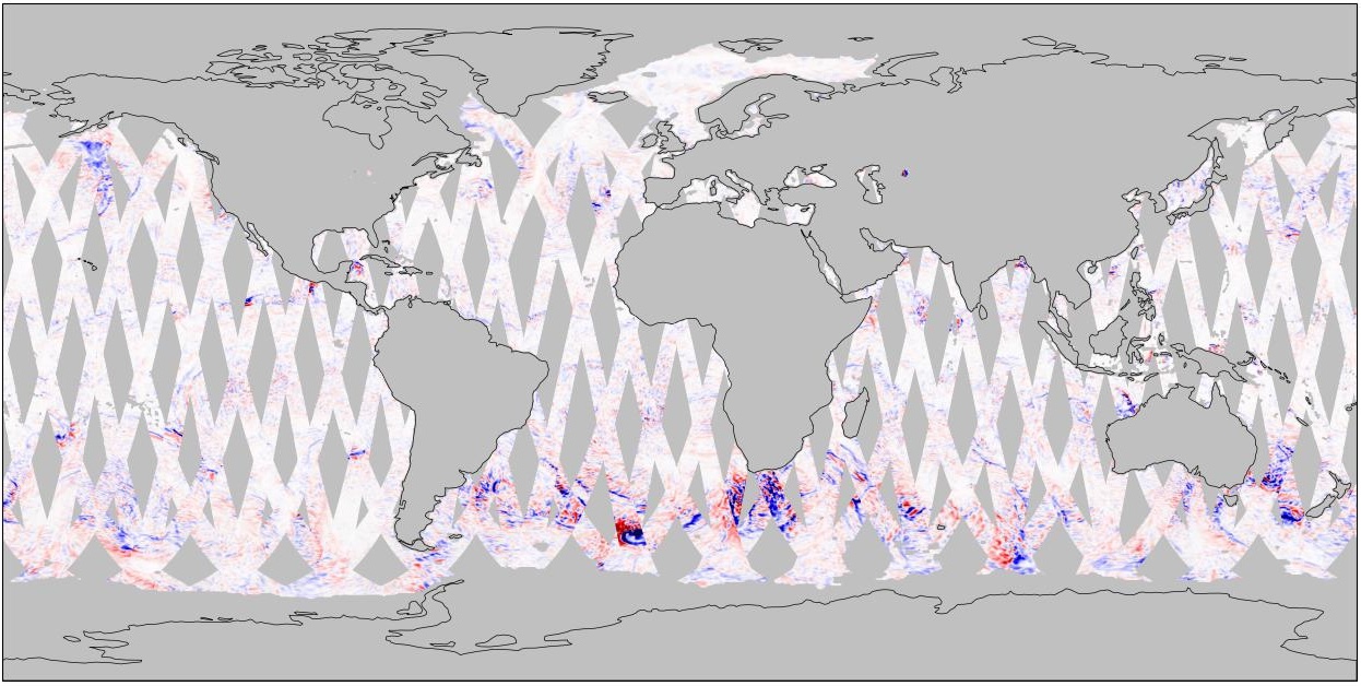
ASCATB_ESDR_L2_WSDERIV_V1.0.jpg
-
Data Information (Unknown Format)BIN
-
Data Information (Unknown Format)BIN
-
Data Information (Unknown Format)BIN
-
Data Information (PDF)PDF
2022_12_02_MEASURES_NewDataGuide_v17_accepted.pdf
-
Landing PageLanding Page
Dates
| Metadata Created Date | June 20, 2025 |
|---|---|
| Metadata Updated Date | August 30, 2025 |
Metadata Source
- Data.json Data.json Metadata
Harvested from NASA Data.json
Additional Metadata
| Resource Type | Dataset |
|---|---|
| Metadata Created Date | June 20, 2025 |
| Metadata Updated Date | August 30, 2025 |
| Publisher | NASA/JPL;NASA/JPL/PODAAC |
| Maintainer | |
| Identifier | 10.5067/ESASB-L2WD10 |
| Data Last Modified | 2025-08-28 |
| Category | Earth Science |
| Public Access Level | public |
| Bureau Code | 026:00 |
| Metadata Context | https://project-open-data.cio.gov/v1.1/schema/catalog.jsonld |
| Schema Version | https://project-open-data.cio.gov/v1.1/schema |
| Catalog Describedby | https://project-open-data.cio.gov/v1.1/schema/catalog.json |
| Harvest Object Id | b7809f5e-1ea3-4633-b0d0-65c07728f5ea |
| Harvest Source Id | 58f92550-7a01-4f00-b1b2-8dc953bd598f |
| Harvest Source Title | NASA Data.json |
| Homepage URL | https://podaac.jpl.nasa.gov/CitingPODAAC |
| Old Spatial | {"WestBoundingCoordinate":-180,"SouthBoundingCoordinate":-90,"EastBoundingCoordinate":180,"NorthBoundingCoordinate":90},"GEODETIC" |
| Program Code | 026:000 |
| Source Datajson Identifier | True |
| Source Hash | 3e3439bf3363c25dde12f7c3754c661309d1f5b741f0ce31bd0d7a27fd3e2f39 |
| Source Schema Version | 1.1 |
| Spatial | |
| Temporal | 2013-08-01/2013-08-01 |
Didn't find what you're looking for? Suggest a dataset here.