
-
Federal
Sentinel-5P TROPOMI Total Ozone Column 1-Orbit L2 7km x 3.5km V1 (S5P_L2__O3_TOT) at GES DISC
National Aeronautics and Space Administration —
Starting from August 6th in 2019, Sentinel-5P TROPOMI along-track high spatial resolution (~5.5km at nadir) has been implemented. Starting from July 13th in 2020,... -
Federal
TROPICS03 L2B Deep Multispectral INtensity (DMIN) of Tropical cyclones estimator Algorithm V1.0
National Aeronautics and Space Administration —
The "Time-Resolved Observations of Precipitation structure and storm Intensity with a Constellation of Smallsats" (TROPICS) mission has a goal of providing nearly... -
Federal
TROPICS03 L2A Unified Resolution Brightness Temperatures V1.0
National Aeronautics and Space Administration —
The "Time-Resolved Observations of Precipitation structure and storm Intensity with a Constellation of Smallsats" (TROPICS) mission has a goal of providing nearly... -
Federal
TRMM Ground Validation Radar Reflectivity Single Level Cartesian Grid 1 hour V7 (TRMM_baseUW) at GES DISC
National Aeronautics and Space Administration —
This dataset is part of the University of Washington TRMM Ground Validation products. Data contains single level, cartesian grids containing output of NCAR SPRINT... -
Federal
TRMM Ground Validation Rain Gauge Rain Rate L2 1 month V7 (TRMM_2A56) at GES DISC
National Aeronautics and Space Administration —
The program rgmin generates 1-minute hourly rain rates from discrete tipping bucket rain gauge data by applying an interpolation algorithm. The interpolating routine... -
Federal
OCO-2 Level 0 spacecraft ephemerides, Retrospective Processing V11r (OCO2_Eph) at GES DISC
National Aeronautics and Space Administration —
Version 11r is the current version of the data set. Older versions will no longer be available and are superseded by Version 11r. The Orbiting Carbon Observatory is... -
Federal
UARS High Resolution Doppler Imager (HRDI) Level 3AL V011 (UARHR3AL) at GES DISC
National Aeronautics and Space Administration —
The High Resolution Doppler Imager (HRDI) Level 3AL data product consists of daily, 4 degree increment latitude-ordered vertical profiles of meridional and zonal wind... -
Federal
UARS High Resolution Doppler Imager (HRDI) Level 3AT V011 (UARHR3AT) at GES DISC
National Aeronautics and Space Administration —
The High Resolution Doppler Imager (HRDI) Level 3AT data product consists of daily, 65.536 second interval time-ordered vertical profiles of meridional and zonal wind... -
Federal
OCO-3 Level 2 geolocated XCO2 retrievals results, physical model, Forward Processing V11 (OCO3_L2_Standard) at GES DISC
National Aeronautics and Space Administration —
Version 11 is the current version of the data set. Older versions will no longer be available and are superseded by Version 11. The Orbiting Carbon Observatory -3... -
Federal
UARS Wind Imaging Interferometer (WINDII) Level 3AT V011 (UARWI3AT) at GES DISC
National Aeronautics and Space Administration —
The Wind Imaging Interferometer (WINDII) Level 3AT data product consists of daily, 65.536 second interval time-ordered vertical profiles of meridional and zonal wind... -
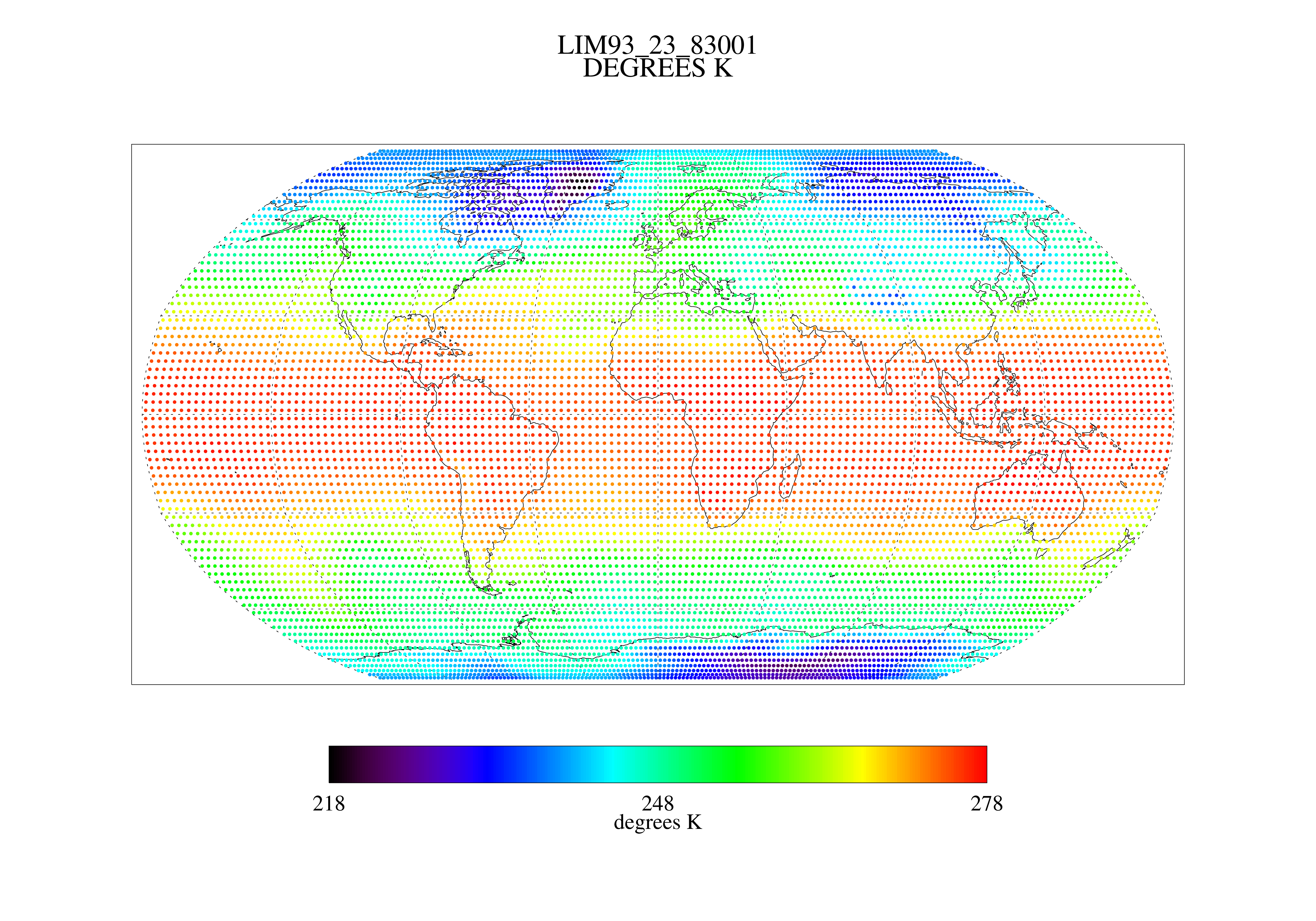
Federal
MSU Ch 2/3 Daily Lower Troposphere Temps with Limb93 Correction L3 1 day 2.5 degree x 2.5 degree V001 (MSULTT) at GES DISC
National Aeronautics and Space Administration —
The Microwave Sounding Unit (MSU) Lower Troposphere Deep Layer Temperature product (MSULTT) provides gridded lower tropospheric temperatures derived from MSU... -
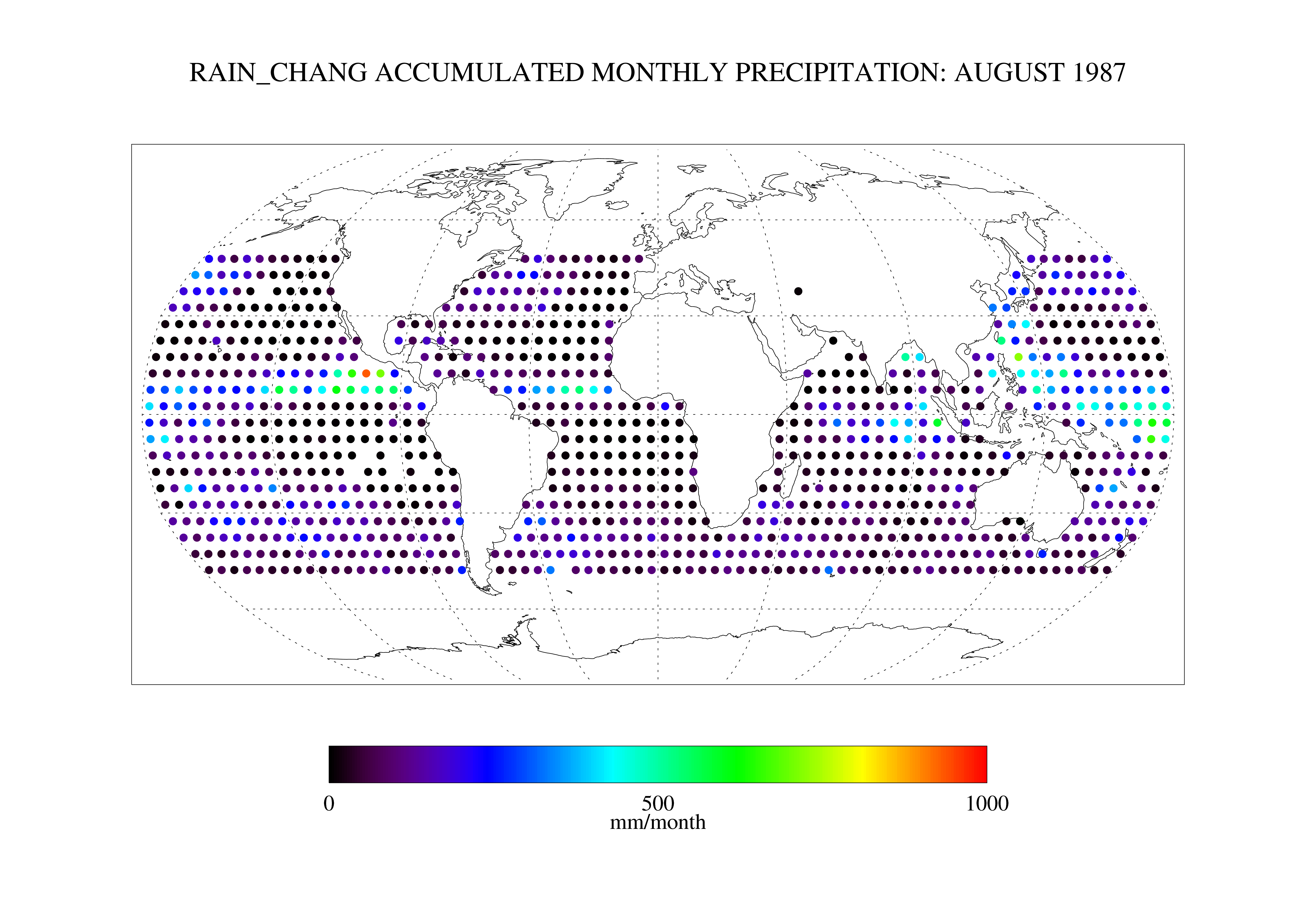
Federal
Chang SSM/I Derived Monthly Rain Indices 5 x 5 degree V2.3 (RAIN_CHANG) at GES DISC
National Aeronautics and Space Administration —
These data are transitioned to a state of permanent preservation. They are available upon request. More advanced datasets have been developed since. One recommended... -
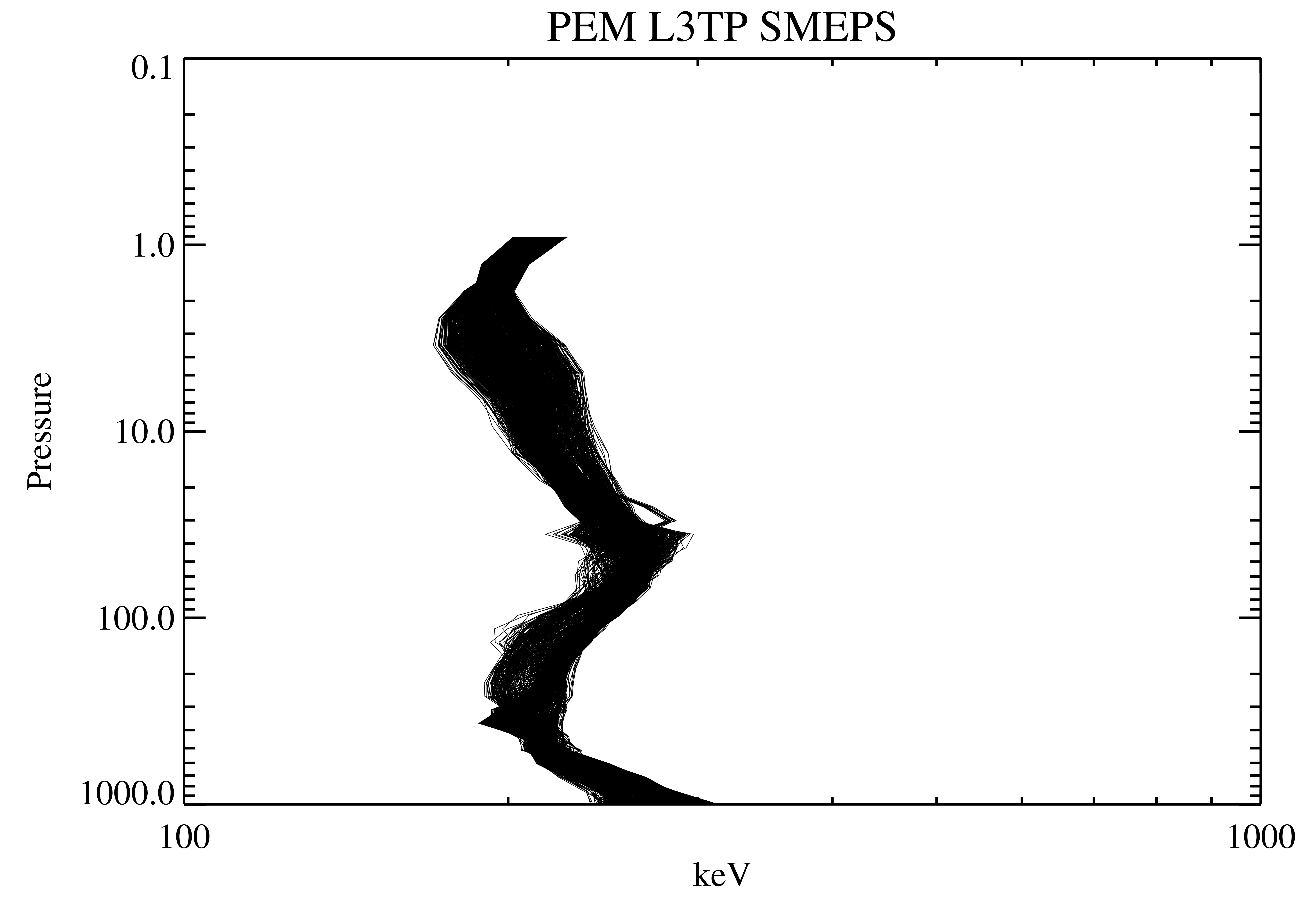
Federal
UARS Particle Environment Monitor (PEM) Level 3TP V004 (UARPE3TP) at GES DISC
National Aeronautics and Space Administration —
The Particle Environment Monitor (PEM) Level 3TP data product consists of daily, 65.536 second and 2.048 interval time-ordered, vertical profiles of electron and... -
Federal
TRMM Ground Validation Radar Site 3D Reflectivity L2 1 hour V7 (TRMM_2A55UW) at GES DISC
National Aeronautics and Space Administration —
This dataset is part of the University of Washington TRMM Ground Validation products. Multiple-level cartesian grid containing output of NCAR SPRINT interpolation of... -
Federal
OCO-2 Level 2 CO2 prior based on CO2 monthly flask record, global meteorology, and age of air V11.2 (OCO2_L2_CO2Prior) at GES DISC
National Aeronautics and Space Administration —
Version 11.2 is the current version of the data set. Older versions will no longer be available and are superseded by Version 11.2. The Orbiting Carbon Observatory is... -
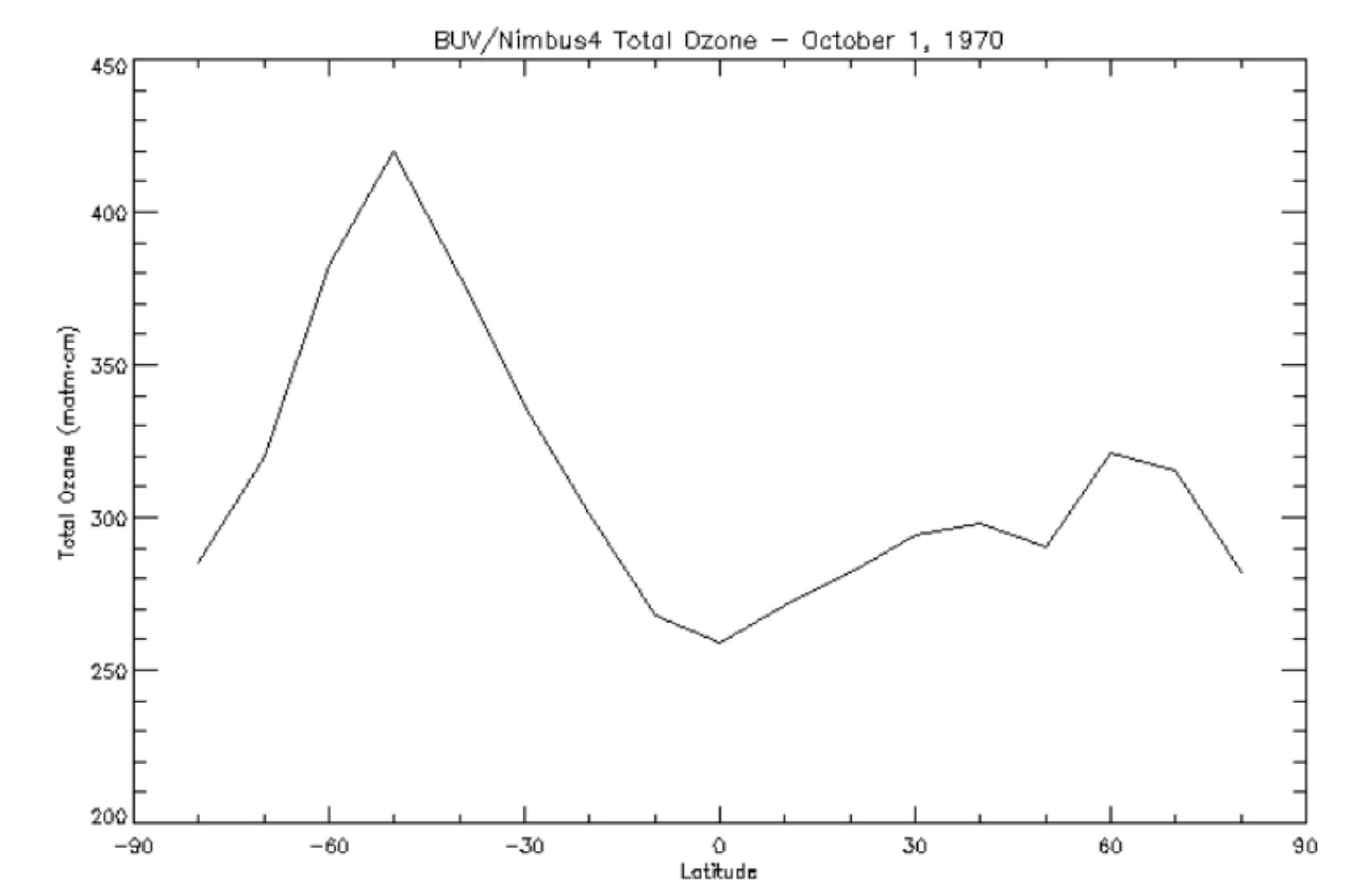
Federal
BUV/Nimbus-4 Level 3 Ozone Zonal Means V005 (BUVN4L3ZMT) at GES DISC
National Aeronautics and Space Administration —
The Nimbus-4 BUV Level 3 Ozone Zonal Means collection or ZMT contains total ozone, reflectivities, and ozone mixing ratios averaged in 10 degree latitude zones... -
Federal
SCR/Nimbus-4 Level 1 Calibrated Radiances V001 (SCRN4L1RAD) at GES DISC
National Aeronautics and Space Administration —
SCRN4L1RAD is the Nimbus-4 Selective Chopper Radiometer (SCR) Level 1 Calibrated Radiances data product. The calibrated radiances are measured at 6 channels from 2.3... -
Federal
LIMS/Nimbus-7 Level 2 Vertical Profiles of O3, NO2, H2O, HNO3, Geopotential Height, and Temperature V006 (LIMSN7L2) at GES DISC
National Aeronautics and Space Administration —
The Limb Infrared Monitor of the Stratosphere (LIMS) version 6 Level-2 data product consists of daily, geolocated, vertical profiles of temperature, geopotential... -
Federal
UARS Wind Imaging Interferometer (WINDII) Level 3AL V011 (UARWI3AL) at GES DISC
National Aeronautics and Space Administration —
The Wind Imaging Interferometer (WINDII) Level 3AL data product consists of daily, 4 degree increment latitude-ordered vertical profiles of meridional and zonal wind... -
Federal
TROPESS Chemical Reanalysis Ozone Increment 6-Hourly 3-dimensional Product V1 (TRPSCRO3I6H3D) at GES DISC
National Aeronautics and Space Administration —
The TROPESS Chemical Reanalysis O3 Increment 6-Hourly 3-dimensional Product contains the ozone increment by data assimilation. The data are part of the Tropospheric...

Official websites use .gov
A
.gov website belongs to an official government
organization in the United States.
Secure .gov websites use HTTPS
A
lock (
) or https:// means you’ve safely connected to
the .gov website. Share sensitive information only on official,
secure websites.