

Chang SSM/I Derived Monthly Rain Indices 5 x 5 degree V2.3 (RAIN_CHANG) at GES DISC
Access & Use Information
Public: This dataset is intended for public access and use.
License: No license information was provided. If this work was prepared by an officer or employee of the United States government as part of that person's official duties it is considered a U.S. Government Work.
Downloads & Resources
-
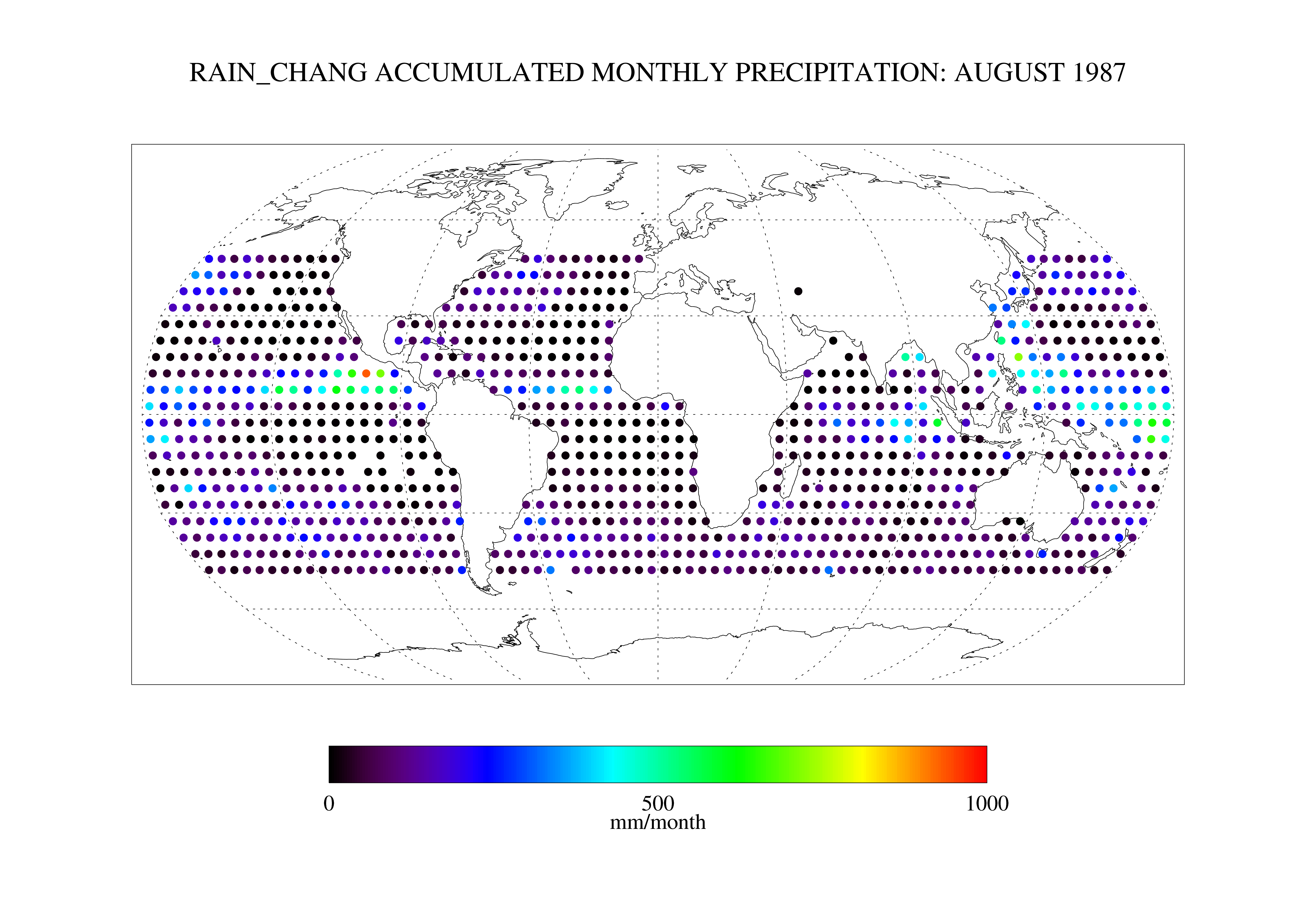
Get a related visualizationPNG
RAIN_CHANG_2.3.png
-
This dataset's landing pageHTML
Access the dataset landing page from the GES DISC website.
-
View this dataset's read me documentPDF
README file
-
Landing PageLanding Page
Dates
| Metadata Created Date | November 12, 2020 |
|---|---|
| Metadata Updated Date | April 11, 2025 |
Metadata Source
- Data.json Data.json Metadata
Harvested from NASA Data.json
Additional Metadata
| Resource Type | Dataset |
|---|---|
| Metadata Created Date | November 12, 2020 |
| Metadata Updated Date | April 11, 2025 |
| Publisher | NASA/GSFC/SED/ESD/GCDC/GESDISC |
| Maintainer | |
| Identifier | C1280859286-GES_DISC |
| Data First Published | 1987-07-01 |
| Language | en-US |
| Data Last Modified | 2025-03-31 |
| Category | GPCP, geospatial |
| Public Access Level | public |
| Bureau Code | 026:00 |
| Metadata Context | https://project-open-data.cio.gov/v1.1/schema/catalog.jsonld |
| Schema Version | https://project-open-data.cio.gov/v1.1/schema |
| Catalog Describedby | https://project-open-data.cio.gov/v1.1/schema/catalog.json |
| Harvest Object Id | 20592aff-b685-440e-bea9-ca776ce5ac89 |
| Harvest Source Id | 58f92550-7a01-4f00-b1b2-8dc953bd598f |
| Harvest Source Title | NASA Data.json |
| Homepage URL | https://cmr.earthdata.nasa.gov:443/search/concepts/C1280859286-GES_DISC.html |
| Metadata Type | geospatial |
| Old Spatial | -180.0 -50.0 180.0 50.0 |
| Program Code | 026:001 |
| Source Datajson Identifier | True |
| Source Hash | 5e61bd054e7deb28aa435faad8b3a8e39f9f4c8dda8115bc2f98e326887daceb |
| Source Schema Version | 1.1 |
| Spatial | |
| Temporal | 1987-07-01T00:00:00Z/1995-12-31T23:59:59.999Z |
Didn't find what you're looking for? Suggest a dataset here.