
-
Federal
Global Fire Emissions Database, Version 4.1 (GFEDv4) NGDA
National Aeronautics and Space Administration —
This dataset provides global estimates of monthly burned area, monthly emissions and fractional contributions of different fire types, daily or 3-hourly fields to... -
Federal
LBA-ECO LC-39 Modeled Carbon Flux from Deforestation, Mato Grosso, Brazil: 2000-2006 NGDA
National Aeronautics and Space Administration —
This data set contains modeled estimates of carbon flux, biomass, and annual burning emissions across the Brazilian state of Mato Grosso from 2000-2006. The model,... -
Federal
SAFARI 2000 MODIS L3 Albedo and Land Cover Data, Southern Africa, Dry Season 2000 NGDA
National Aeronautics and Space Administration —
The Filled Land Surface Albedo Product for Southern Africa, which is generated from MOD43B3 Product (the official Terra/MODIS-derived Land Surface Albedo -... -
Federal
Fire Intensity and Burn Severity Metrics for Circumpolar Boreal Forests, 2001-2013 NGDA
National Aeronautics and Space Administration —
This data set provides products characterizing immediate and longer-term ecosystem changes from fires in the circumpolar boreal forests of Northern Eurasia and North... -
Federal
High Resolution Global Contiguous SIF Estimates from OCO-2 SIF and MODIS, Version 2 NGDA
National Aeronautics and Space Administration —
This dataset provides spatially-contiguous global mean daily solar-induced chlorophyll fluorescence (SIF) estimates at 0.05 degree (approximately 5 km at the equator)... -
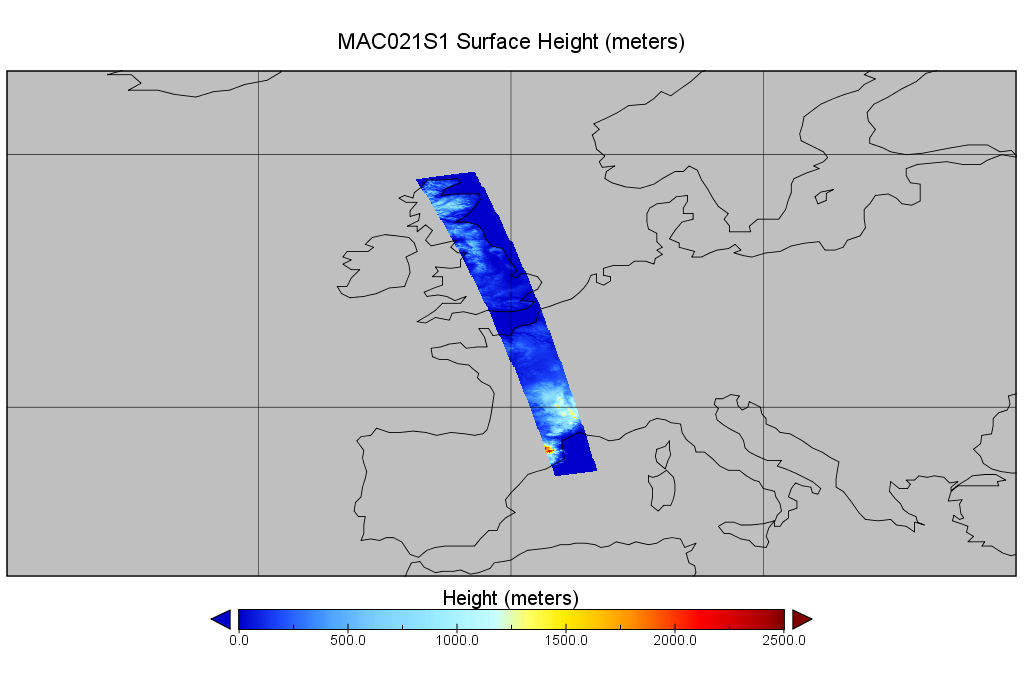
Federal
MODIS/Aqua Calibrated Radiances 250m 5-Min L1B Wide Swath Subset along CloudSat V002 (MAC02QS1) at GES DISC NGDA
National Aeronautics and Space Administration —
This is the wide-swath MODIS/Aqua subset along CloudSat field of view track. The goal of the wide-swath subset is to select and return MODIS data that are within... -
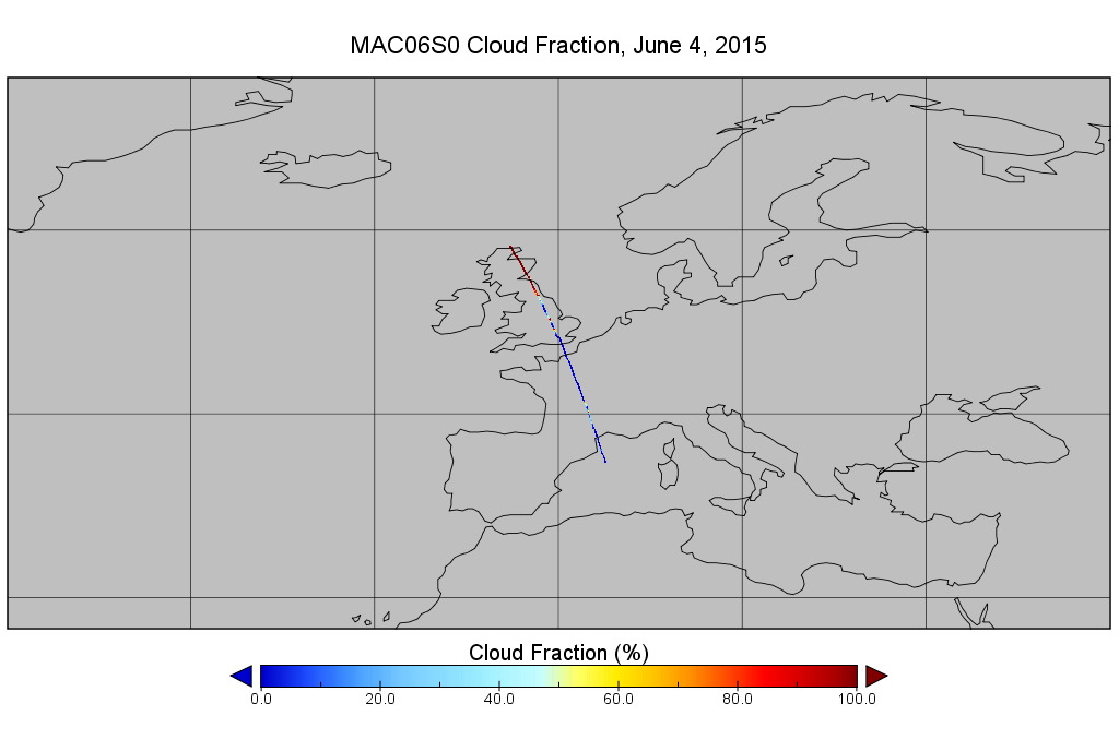
Federal
MODIS/Aqua Clouds 1km and 5km 5-Min L2 Narrow Swath Subset along CloudSat V002 (MAC06S0) at GES DISC NGDA
National Aeronautics and Space Administration —
This is the narrow-swath MODIS/Aqua subset along CloudSat field of view track. The goal of the narrow-swath subset is to select and return MODIS data that are within... -
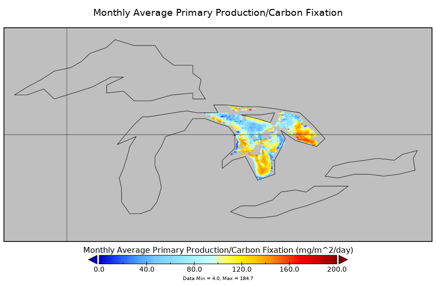
Federal
Carbon Monitoring System Lake Huron Primary Production Monthly V1 (CMSLakeHuronPPM) at GES DISC NGDA
National Aeronautics and Space Administration —
Monthly Average primary production/carbon fixation data for Lake Huron. The primary production data is derived using MODIS imagery with model data. The NASA Carbon... -
Federal
Gross Primary Production Maps of Tidal Wetlands across Conterminous USA, 2000-2019 NGDA
National Aeronautics and Space Administration —
This dataset provides mapped tidal wetland gross primary production (GPP) estimates (g C/m2/day) derived from multiple wetland types at 250-m resolution across the... -
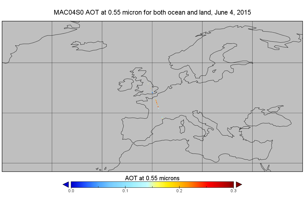
Federal
MODIS/Aqua Aerosol 10km 5-Min L2 Narrow Swath Subset along CloudSat V002 (MAC04S0) at GES DISC NGDA
National Aeronautics and Space Administration —
This is the narrow-swath MODIS/Aqua subset along CloudSat field of view track. The goal of the narrow-swath subset is to select and return MODIS data that are within... -
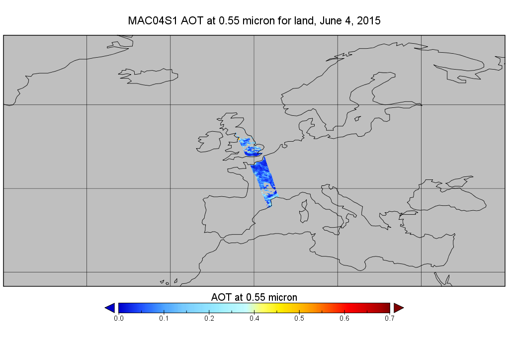
Federal
MODIS/Aqua Aerosol 10km 5-Min L2 Wide Swath Subset along CloudSat V002 (MAC04S1) at GES DISC NGDA
National Aeronautics and Space Administration —
This is the wide-swath MODIS/Aqua subset along CloudSat field of view track. The goal of the wide-swath subset is to select and return MODIS data that are within... -
Federal
OMI/Aura and MODIS/Aqua Merged Cloud Product 1-Orbit L2 Swath 13x24 km V003 (OMMYDCLD) at GES DISC NGDA
National Aeronautics and Space Administration —
The OMI/Aura and MODIS/Aqua Merged Cloud Product 1-Orbit L2 Swath 13x24 km (OMMYDCLD) is a Level-2 orbital product that combines cloud parameters retrieved by the... -
Federal
AMSR-MODIS Boundary Layer Water Vapor L3 Monthly 1 degree x 1 degree V1 (AMMBLWV) at GES DISC NGDA
National Aeronautics and Space Administration —
This data set provides an estimate the marine boundary layer water vapor beneath uniform cloud fields. Microwave radiometry from AMSR-E and AMSR-2 provides the total... -
Federal
Net Radiation and Albedo from MODIS for Xingu River Basin, Brazil, 2000-2012 NGDA
National Aeronautics and Space Administration —
This dataset provides daily average land surface net radiation (Rnet) as an 8-day time series at approximately 0.5 km resolution for the upper Xingu River Basin in... -
Federal
MODIS NDVI Data, Smoothed and Gap-filled, for the Conterminous US: 2000-2015 NGDA
National Aeronautics and Space Administration —
This data set provides Moderate Resolution Imaging Spectroradiometer (MODIS) normalized difference vegetation index (NDVI) data, smoothed and gap-filled, for the... -
Federal
Urban Biogenic CO2 fluxes: GPP, Reco and NEE Estimates from SMUrF, 2010-2019 NGDA
National Aeronautics and Space Administration —
This dataset contains estimates of biogenic CO2 flux components at 0.05 degree resolution from the Solar-Induced Fluorescence (SIF) for Modeling Urban biogenic Fluxes... -
Federal
ISLSCP II Global Population of the World NGDA
National Aeronautics and Space Administration —
Global Population of the World (GPW) translates census population data to a latitude-longitude grid so that population data may be used in cross-disciplinary studies.... -
Federal
LBA-ECO LC-22 Land Cover from MODIS Vegetation Indices, Mato Grosso, Brazil NGDA
National Aeronautics and Space Administration —
This data set, LBA-ECO LC-22 Land Cover from MODIS Vegetation Indices, Mato Grosso, Brazil, provides land cover classifications for Mato Grosso, Brazil, for the years... -
Federal
LBA-ECO LC-22 Post-deforestation Land Use, Mato Grosso, Brazil: 2001-2005 NGDA
National Aeronautics and Space Administration —
This data set provides (1) areal estimates of deforestation events (>25 ha) that were identified from 2001-2004 in Mato Grosso by the Brazilian Institute for Space... -
Federal
Global MODIS and FLUXNET-derived Daily Gross Primary Production, V2 NGDA
National Aeronautics and Space Administration —
This dataset provides global gridded daily estimates of gross primary production (GPP) and uncertainties at 0.05-degree resolution for the period 2000-03-01 to the...

Official websites use .gov
A
.gov website belongs to an official government
organization in the United States.
Secure .gov websites use HTTPS
A
lock (
) or https:// means you’ve safely connected to
the .gov website. Share sensitive information only on official,
secure websites.