

11 datasets found for "Use Support Rating"
-
Federal
Data from: Spatial and temporal features of snow water equivalent across a headwater catchment in the Sierra Nevada
Department of Agriculture —
Accompanying dataset for: “Spatial and Temporal Features of Snow Water Equivalent Across a Headwater Catchment in the Sierra Nevada”Abstract:Here, we present the... -
Federal
UARS High Resolution Doppler Imager (HRDI) Level 3AL V011 (UARHR3AL) at GES DISC
National Aeronautics and Space Administration —
The High Resolution Doppler Imager (HRDI) Level 3AL data product consists of daily, 4 degree increment latitude-ordered vertical profiles of meridional and zonal wind... -
Federal
UARS Wind Imaging Interferometer (WINDII) Level 3AL V011 (UARWI3AL) at GES DISC
National Aeronautics and Space Administration —
The Wind Imaging Interferometer (WINDII) Level 3AL data product consists of daily, 4 degree increment latitude-ordered vertical profiles of meridional and zonal wind... -
Federal
UARS High Resolution Doppler Imager (HRDI) Level 3AT V011 (UARHR3AT) at GES DISC
National Aeronautics and Space Administration —
The High Resolution Doppler Imager (HRDI) Level 3AT data product consists of daily, 65.536 second interval time-ordered vertical profiles of meridional and zonal wind... -
Federal
UARS Wind Imaging Interferometer (WINDII) Level 3AT V011 (UARWI3AT) at GES DISC
National Aeronautics and Space Administration —
The Wind Imaging Interferometer (WINDII) Level 3AT data product consists of daily, 65.536 second interval time-ordered vertical profiles of meridional and zonal wind... -
Federal
AIR TEMPERATURE, Surface pressure, and others collected from FIXED STATIONS OF CANADA in Canada from 1768-09-11 to 1884-02-29 (NCEI Accession 0304217)
National Oceanic and Atmospheric Administration, Department of Commerce —
Historical weather journals from across Canada, spanning 1768 - 1884, have been transcribed from handwritten records into machine readable formats. The NORTHERN... -
Federal
UARS Particle Environment Monitor (PEM) Level 3AT V004 (UARPE3AT) at GES DISC
National Aeronautics and Space Administration —
The Particle Environment Monitor (PEM) Level 3AT data product consists of daily, 65.536 second interval time-ordered, vertical profiles of electron, proton and x-ray... -
Federal
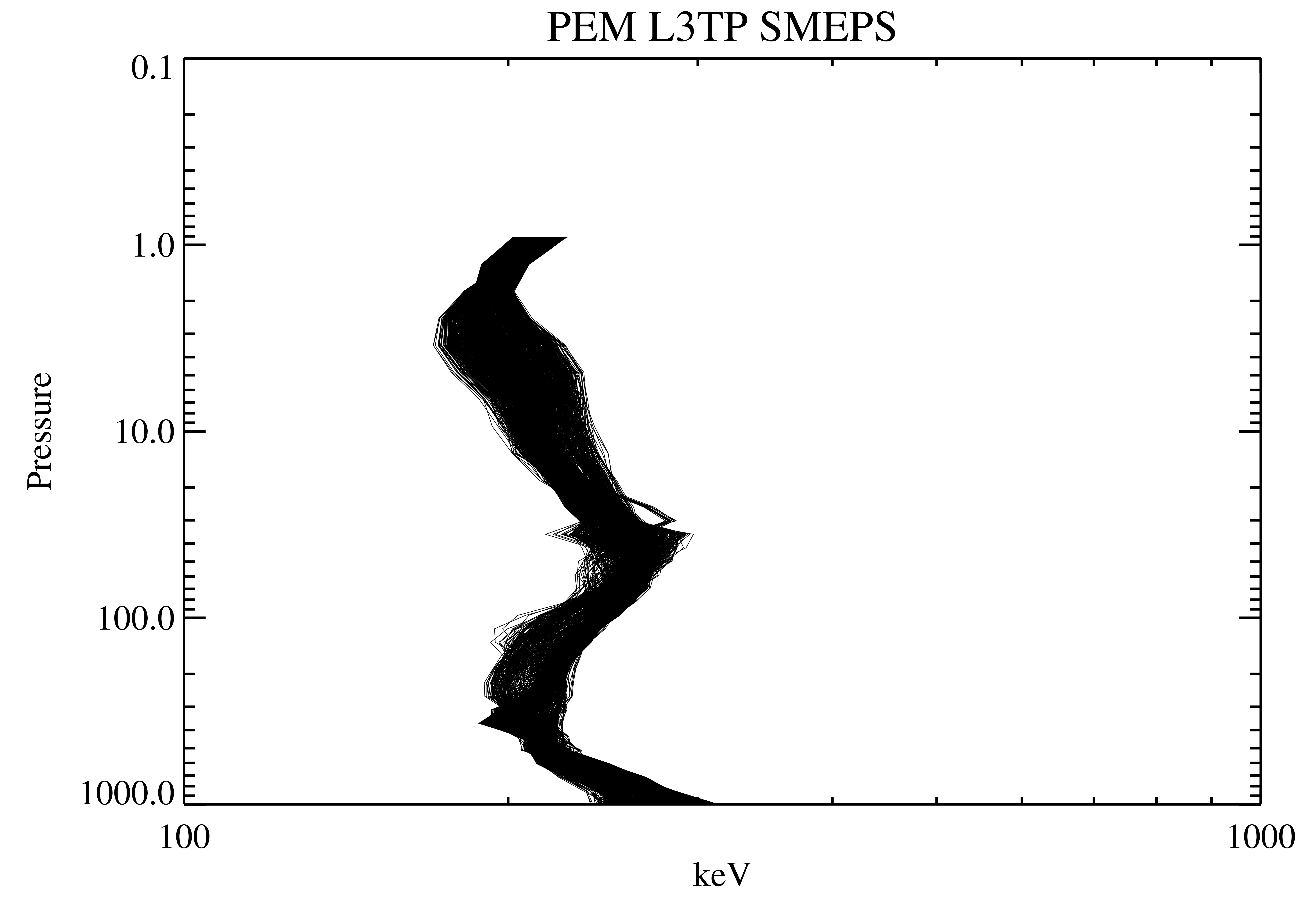
UARS Particle Environment Monitor (PEM) Level 3TP V004 (UARPE3TP) at GES DISC
National Aeronautics and Space Administration —
The Particle Environment Monitor (PEM) Level 3TP data product consists of daily, 65.536 second and 2.048 interval time-ordered, vertical profiles of electron and... -
Federal
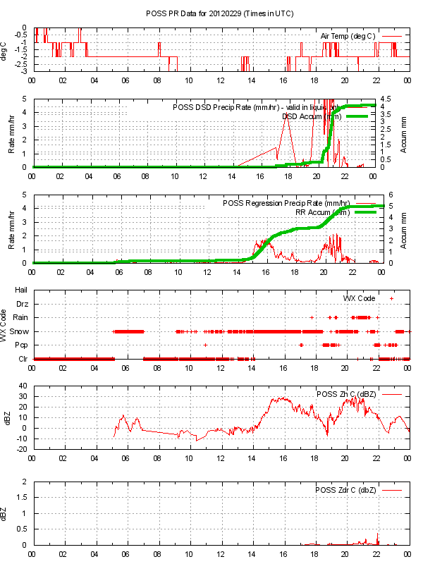
GPM GROUND VALIDATION ENVIRONMENT CANADA (EC) PRECIPITATION OCCURRENCE SENSOR SYSTEM (POSS) GCPEX V1
National Aeronautics and Space Administration —
The GPM Ground Validation Environment Canada (EC) Precipitation Occurrence Sensor System (POSS) GCPEx dataset is comprised of data gathered during the GPM Cold-season... -
Federal
Flight 93 National Memorial Vegetation and Land Cover Geospatial Information
Department of the Interior —
In collaboration with the National Park Service, the Western Pennsylvania Conservancy (WPC) completed the Natural Resource Condition Assessment (NRCA) for Flight 93... -
Federal
Biophysical ocean measurements (temperature, salinity, chlorophyll fluorescence, oxygen and currents) collected over six years at long-term Mooring site M5 on the eastern Bering Sea shelf, Alaska, by the EcoFOCI group at NOAA, PMEL, 2009-07-02 to 2015-10-28 (NCEI Accession 0309065)
National Oceanic and Atmospheric Administration, Department of Commerce —
Biophysical moorings were deployed 2009-2014 at "M5", an established NOAA Pacific Marine Environmental Laboratory (PMEL) research data-collection site on the eastern...
11 datasets found for "Use Support Rating"