

GPM GROUND VALIDATION ENVIRONMENT CANADA (EC) PRECIPITATION OCCURRENCE SENSOR SYSTEM (POSS) GCPEX V1
Access & Use Information
Public: This dataset is intended for public access and use.
License: No license information was provided. If this work was prepared by an officer or employee of the United States government as part of that person's official duties it is considered a U.S. Government Work.
Downloads & Resources
-
Google Scholar search resultsHTML
Search results for publications that cite this dataset by its DOI.
-
Download this datasetHTML
Files may be downloaded directly to your workstation from this link
-
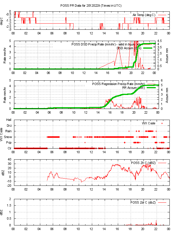
Get a related visualizationPNG
Sample browse image
-
View information related to this datasetHTML
GCPEx Field Campaign Collection DOI
-
View documentation related to this datasetHTML
The guide document contains detailed information about the dataset
-
View the primary investigator's documentation...DOC
Description of the POSS post processed ¿¿¿PR¿¿¿ file Updated Feb. 11 2013
-
The dataset's project home pageHTML
The home page for the project or program which sponsored the dataset
-
Get a related visualizationHTML
N/A
-
View documentation related to this datasetHTML
Instructions for citing GHRC data
-
Landing PageLanding Page
Dates
| Metadata Created Date | December 1, 2022 |
|---|---|
| Metadata Updated Date | April 10, 2025 |
Metadata Source
- Data.json Data.json Metadata
Harvested from NASA Data.json
Additional Metadata
| Resource Type | Dataset |
|---|---|
| Metadata Created Date | December 1, 2022 |
| Metadata Updated Date | April 10, 2025 |
| Publisher | NASA/MSFC/GHRC |
| Maintainer | |
| Identifier | C1979685182-GHRC_DAAC |
| Data First Published | 2013-09-03 |
| Language | en-US |
| Data Last Modified | 2025-03-31 |
| Category | GCPEx, geospatial |
| Public Access Level | public |
| Bureau Code | 026:00 |
| Metadata Context | https://project-open-data.cio.gov/v1.1/schema/catalog.jsonld |
| Schema Version | https://project-open-data.cio.gov/v1.1/schema |
| Catalog Describedby | https://project-open-data.cio.gov/v1.1/schema/catalog.json |
| Harvest Object Id | fbb6a21b-5ff0-4190-96ab-4c85aef4dfd4 |
| Harvest Source Id | 58f92550-7a01-4f00-b1b2-8dc953bd598f |
| Harvest Source Title | NASA Data.json |
| Homepage URL | https://doi.org/10.5067/GPMGV/GCPEX/POSS/DATA201 |
| Metadata Type | geospatial |
| Old Spatial | -79.93 44.18 -79.64 44.23 |
| Program Code | 026:001 |
| Source Datajson Identifier | True |
| Source Hash | d059fba4110dc455943b0456f881a1cdd92adad2d9e48a332ab7a4c5dc84d6cb |
| Source Schema Version | 1.1 |
| Spatial | |
| Temporal | 2012-01-15T00:00:00Z/2012-03-01T23:59:59Z |
Didn't find what you're looking for? Suggest a dataset here.