
-
Federal
OCO-2 Level 2 geolocated XCO2 retrievals results, physical model V11.2 (OCO2_L2_Standard) at GES DISC
National Aeronautics and Space Administration —
Version 11.2 is the current version of the data set. Older versions will no longer be available and are superseded by Version 11.2. The Orbiting Carbon Observatory is... -
Federal
UARS Improved Stratospheric and Mesospheric Sounder (ISAMS) Level 3AL V010 (UARIS3AL) at GES DISC
National Aeronautics and Space Administration —
The Improved Stratospheric and Mesospheric Sounder (ISAMS) Level 3AL data product consists of daily, 4 degree increment latitude-ordered vertical profiles of... -
Federal
IRIS/Nimbus-4 Level 1 Radiance Data V001 (IRISN4RAD) at GES DISC
National Aeronautics and Space Administration —
The Nimbus-4 Infrared Interferometer Spectrometer (IRIS) Level 1 Radiance Data contain thermal emissions of the Earth's atmosphere at wave numbers between 400 and... -
Federal
TRMM Precipitation Radar Rainfall Rate and Profile L2 1.5 hours V7 (TRMM_2A25) at GES DISC
National Aeronautics and Space Administration —
The new version of these data is in GPM-like format (consistent with the GPM Dual-frequency Radar data format), and can be found under the name GPM_2APR. The TRMM... -
Federal
TROPICS07 L2A Unified Resolution Brightness Temperatures V0.2
National Aeronautics and Space Administration —
The "Time-Resolved Observations of Precipitation structure and storm Intensity with a Constellation of Smallsats" (TROPICS) mission has a goal of providing nearly... -
Federal
Sentinel-5P TROPOMI Tropospheric NO2 1-Orbit L2 7km x 3.5km V1 (S5P_L2__NO2___) at GES DISC
National Aeronautics and Space Administration —
Starting from August 6th in 2019, Sentinel-5P TROPOMI along-track high spatial resolution (~5.5km at nadir) has been implemented. For data after August 6th of 2019,... -
Federal
UARS Halogen Occultation Experiment (HALOE) Level 3AT V019 (UARHA3AT) at GES DISC
National Aeronautics and Space Administration —
The Halogen Occultation Experiment (HALOE) Level 3AT data product consists of daily vertical profiles of temperature, aerosol extinction and concentrations of HCl,... -
Federal
ESMR/Nimbus-5 Images of Brightness Temperature on 70 mm Film V001 (ESMRN5IM) at GES DISC
National Aeronautics and Space Administration —
ESMRN5IM is the Nimbus-5 Electrically Scanning Microwave Radiometer (ESMR) data product containing daily brightness temperature images from 70-mm photofacsimile film... -
Federal
TROPESS Chemical Reanalysis Ozone 6-Hourly 3-dimensional Product V1 (TRPSCRO36H3D) at GES DISC
National Aeronautics and Space Administration —
The TROPESS Chemical Reanalysis O3 6-Hourly 3-dimensional Product contains vertical concentrations of ozone. The data are part of the Tropospheric Chemical Reanalysis... -
Federal
NOAA/WDS Paleoclimatology - Margolis fire data from Twin Cabins plot 3, northern New Mexico - IMPD USTWC003
National Oceanic and Atmospheric Administration, Department of Commerce —
This archived Paleoclimatology Study is available from the NOAA National Centers for Environmental Information (NCEI), under the World Data Service (WDS) for... -
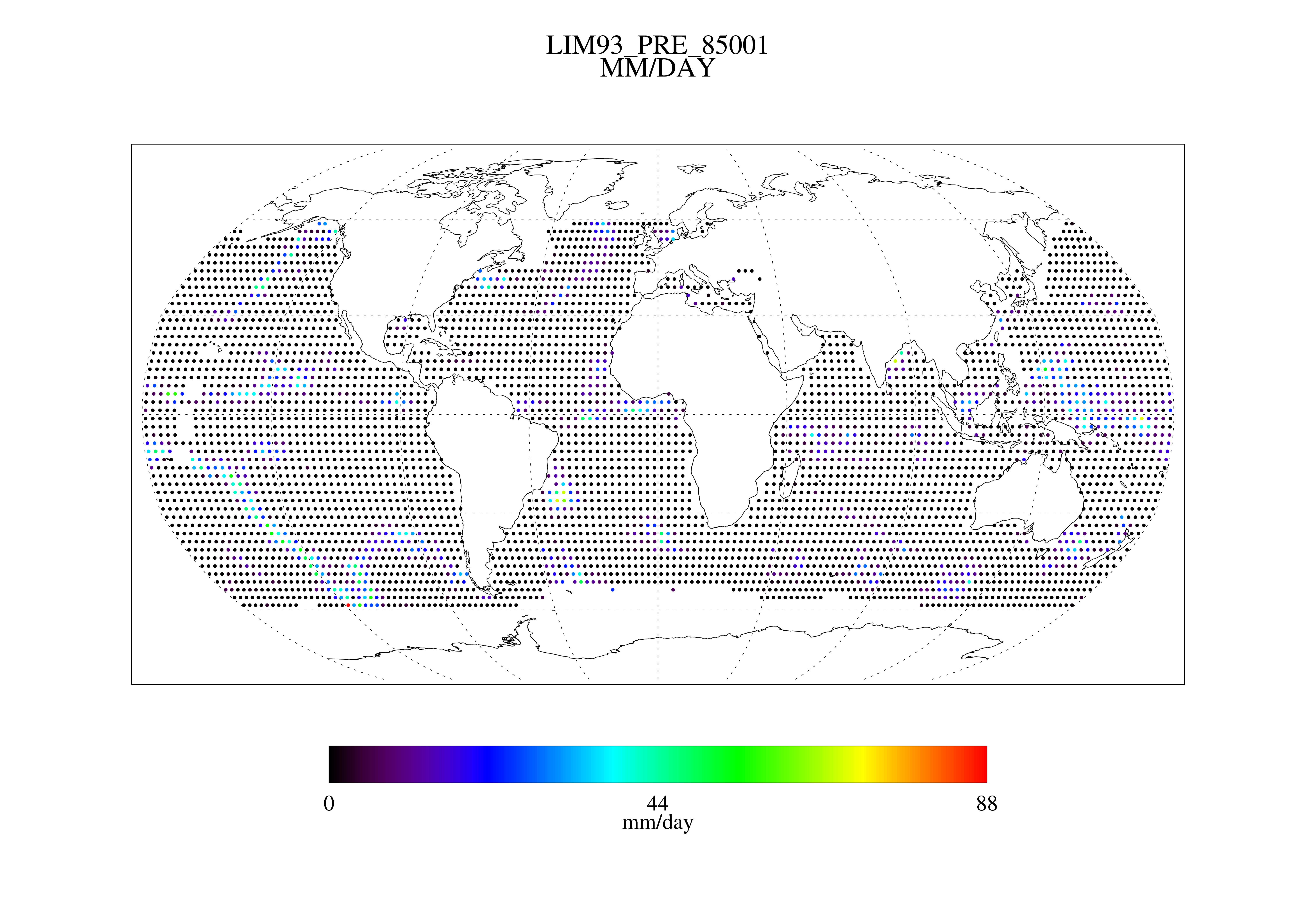
Federal
MSU Daily Oceanic Precipitation with Limb93 Correction L3 1 day 2.5 degree x 2.5 degree V001 (MSUOP) at GES DISC
National Aeronautics and Space Administration —
The Microwave Sounding Unit (MSU) Ocean Precipitation product (MSUOP) provides gridded upper tropospheric temperatures derived from MSU instruments on several... -
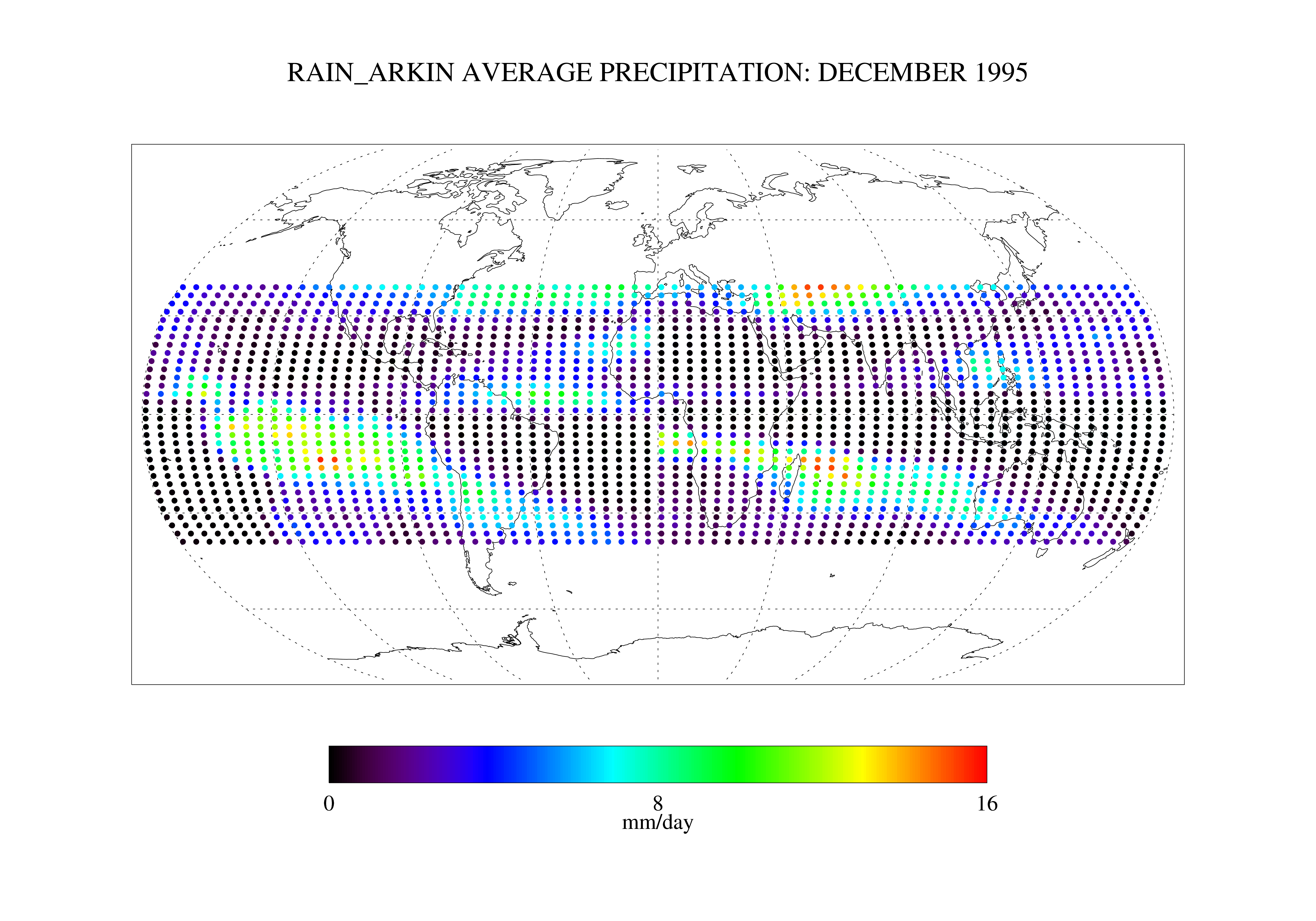
Federal
Arkin and Janowiak GPI: IR -Based Monthly Rainfall for the GPCP 2.5 x 2.5 degree V1 (RAIN_ARKIN) at GES DISC
National Aeronautics and Space Administration —
These data are transitioned to a state of permanent preservation. They are available upon request. More advanced datasets have been developed since. One recommended... -
Federal
UARS Cryogenic Limb Array Etalon Spectrometer (CLAES) Level 3AL V009 (UARCL3AL) at GES DISC
National Aeronautics and Space Administration —
The Cryogenic Limb Array Etalon Spectrometer (CLAES) Level 3AL data product consists of daily, 4 degree increment latitude-ordered vertical profiles of temperature... -
Federal
SatCORPS CERES GEO Edition 4 GOES-13 Northern Hemisphere Version 1.0
National Aeronautics and Space Administration —
CER_GEO_Ed4_GOE13_NH_V01 is the Satellite Cloud and Radiation Property retrieval System (SatCORPS) Clouds and the Earth's Radiant Energy System (CERES) Geostationary... -
Federal
UARS Wind Imaging Interferometer (WINDII) Level 3AT V011 (UARWI3AT) at GES DISC
National Aeronautics and Space Administration —
The Wind Imaging Interferometer (WINDII) Level 3AT data product consists of daily, 65.536 second interval time-ordered vertical profiles of meridional and zonal wind... -
Federal
TROPICS01 Pathfinder L1B Orbital Geolocated Native-Resolution Brightness Temperatures V1.0
National Aeronautics and Space Administration —
The "Time-Resolved Observations of Precipitation structure and storm Intensity with a Constellation of Smallsats" (TROPICS) mission has a goal of providing nearly... -
Federal
NOAA/WDS Paleoclimatology - Margolis fire data from Rowe Mesa central, northern New Mexico - IMPD USROW001
National Oceanic and Atmospheric Administration, Department of Commerce —
This archived Paleoclimatology Study is available from the NOAA National Centers for Environmental Information (NCEI), under the World Data Service (WDS) for... -
Federal
UARS Cryogenic Limb Array Etalon Spectrometer (CLAES) Level 3AT V009 (UARCL3AT) at GES DISC
National Aeronautics and Space Administration —
The Cryogenic Limb Array Etalon Spectrometer (CLAES) Level 3AT data product consists of daily, 65.536 second interval time-ordered vertical profiles of temperature... -
Federal
NOAA/WDS Paleoclimatology - Hessl fire data from Burenkhan - IMPD MNBKH001
National Oceanic and Atmospheric Administration, Department of Commerce —
This archived Paleoclimatology Study is available from the NOAA National Centers for Environmental Information (NCEI), under the World Data Service (WDS) for... -
Federal
Fast Longwave And SHortwave Fluxes (FLASHflux) Clouds and Radiative Swath (SSF) TERRA-FM1 data in netCDF Version 4B
National Aeronautics and Space Administration —
FLASH_SSF_Terra-FM1-MODIS_Version4B is the Fast Longwave And Shortwave Radiative Fluxes (FLASHFlux) Clouds and Radiative Swath (SSF) TERRA-FM1 data in netCDF Version...

Official websites use .gov
A
.gov website belongs to an official government
organization in the United States.
Secure .gov websites use HTTPS
A
lock (
) or https:// means you’ve safely connected to
the .gov website. Share sensitive information only on official,
secure websites.