
-
Federal
SDG Indicator 9.1.1: Rural Access Index (RAI), 2023 Release
National Aeronautics and Space Administration —
The SDG Indicator 9.1.1: The Rural Access Index (RAI), 2023 Release data set, part of the SDGI collection, measures the proportion of the rural population who live... -
Federal
Georeferenced U.S. County-Level Population Projections, Total and by Sex, Race and Age, Based on the SSPs, 2020-2100
National Aeronautics and Space Administration —
The Georeferenced U.S. County-Level Population Projections, Total and by Sex, Race and Age, Based on the SSPs, 2020-2100 consists of county-level population... -
Federal
VIIRS/NPP Vegetation Indices Monthly L3 Global 0.05Deg CMG V001
National Aeronautics and Space Administration —
The NASA/NOAA Suomi National Polar-orbiting Partnership (Suomi-NPP) Visible Infrared Imaging Radiometer Suite (VIIRS) Vegetation Indices (VNP13C2) Version 1 data... -
Federal
Groundswell Spatial Population and Migration Projections at One-Eighth Degree According to SSPs and RCPs, 2010-2050
National Aeronautics and Space Administration —
The Groundswell Spatial Population and Migration Projections at One-Eighth Degree According to SSPs and RCPs, 2010-2050, data set provides a baseline population... -
Federal
ATTREX-Aircraft_navigational_and_meteorological_Measurements
National Aeronautics and Space Administration —
ATTREX-Aircraft_navigational_meteorological_Measurements are in-situ navigational and meteorological measurements collected onboard the Global Hawk Unihabited Aerial... -
Federal
TROPICS03 Pathfinder L2B Instantaneous Surface Rain Rate (ISRR) V1.0
National Aeronautics and Space Administration —
The "Time-Resolved Observations of Precipitation structure and storm Intensity with a Constellation of Smallsats" (TROPICS) mission has a goal of providing nearly... -
Federal
2010 Environmental Performance Index (EPI)
National Aeronautics and Space Administration —
The 2010 Environmental Performance Index (EPI) ranks 163 countries on environmental performance based on twenty-five indicators grouped within ten core policy... -
Federal
VIIRS/NPP Vegetation Indices 16-Day L3 Global 500m SIN Grid V001
National Aeronautics and Space Administration —
The NASA/NOAA Suomi National Polar-orbiting Partnership (Suomi NPP) Visible Infrared Imaging Radiometer Suite (VIIRS) Vegetation Indices (VNP13A1) Version 1 data... -
Federal
VIIRS/NPP Vegetation Indices 16-Day L3 Global 1km SIN Grid V001
National Aeronautics and Space Administration —
The NASA/NOAA Suomi National Polar-orbiting Partnership (Suomi NPP) Visible Infrared Imaging Radiometer Suite (VIIRS) Vegetation Indices (VNP13A2) Version 1 data... -
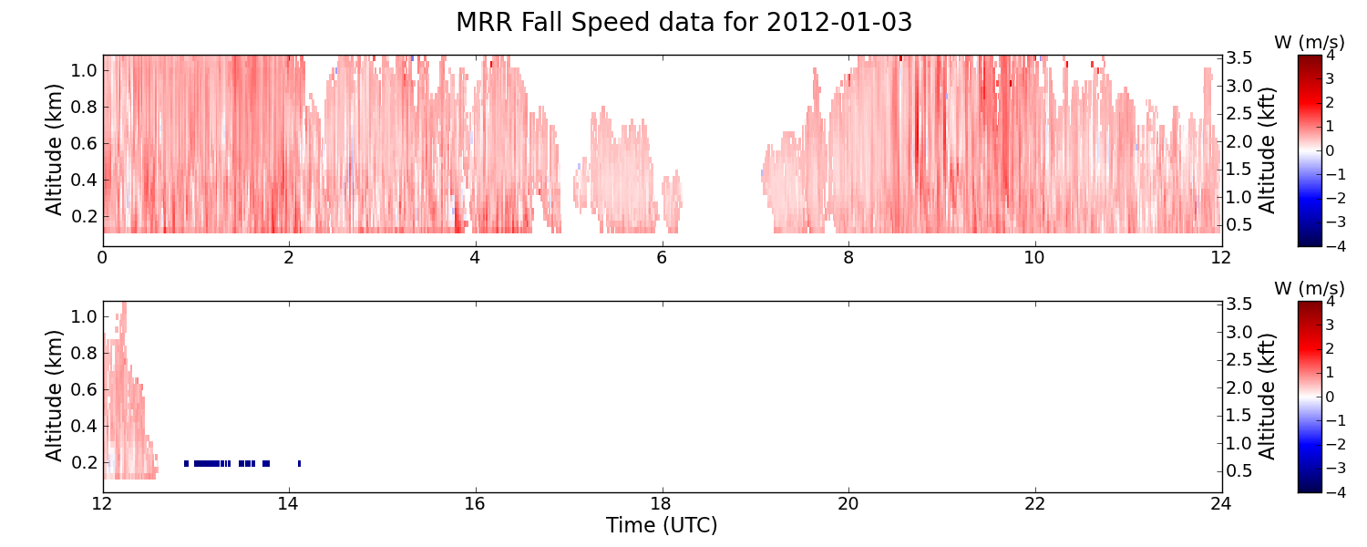
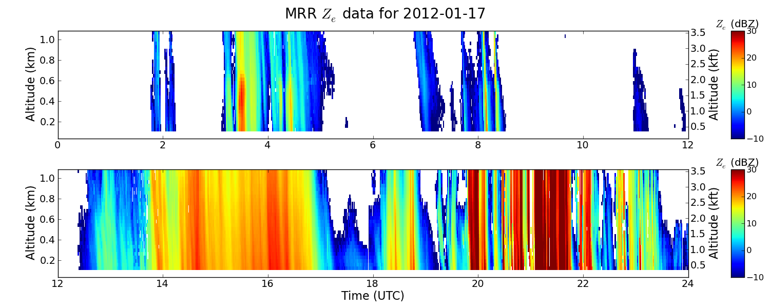
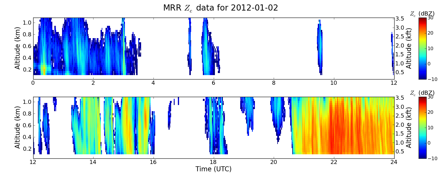
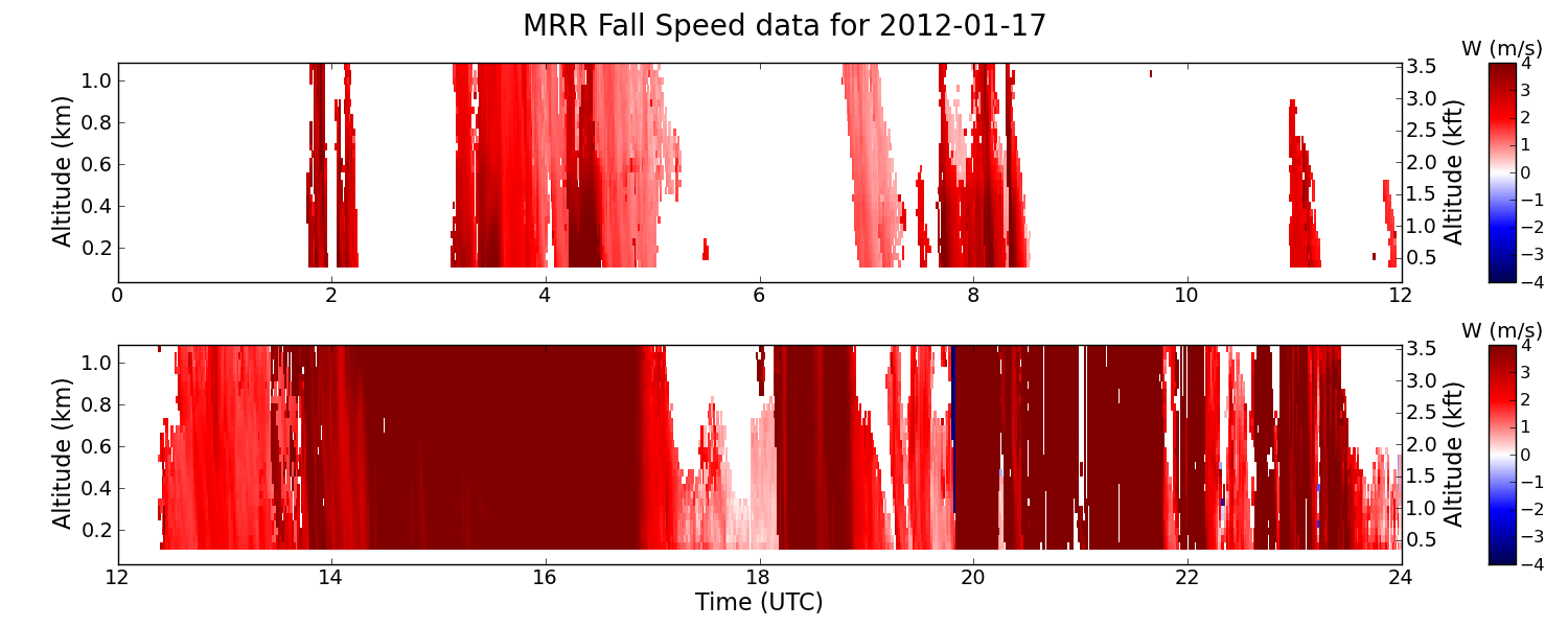
Federal
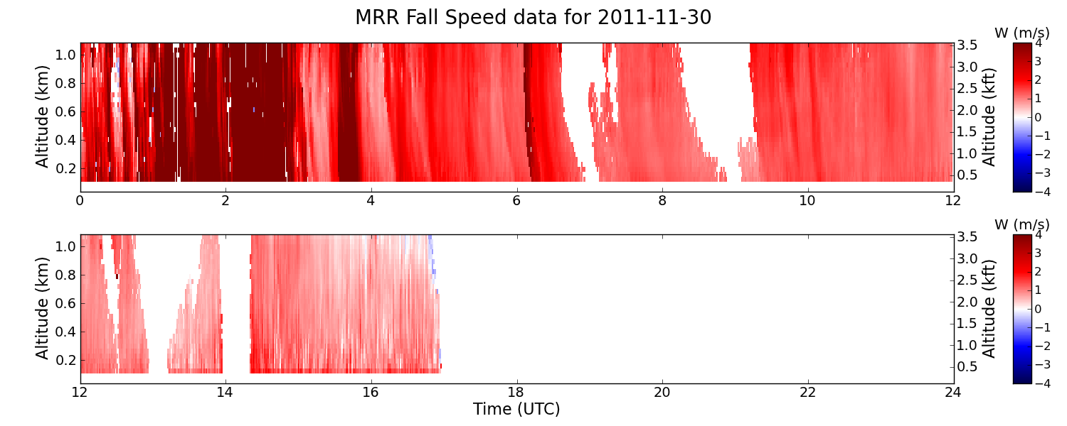
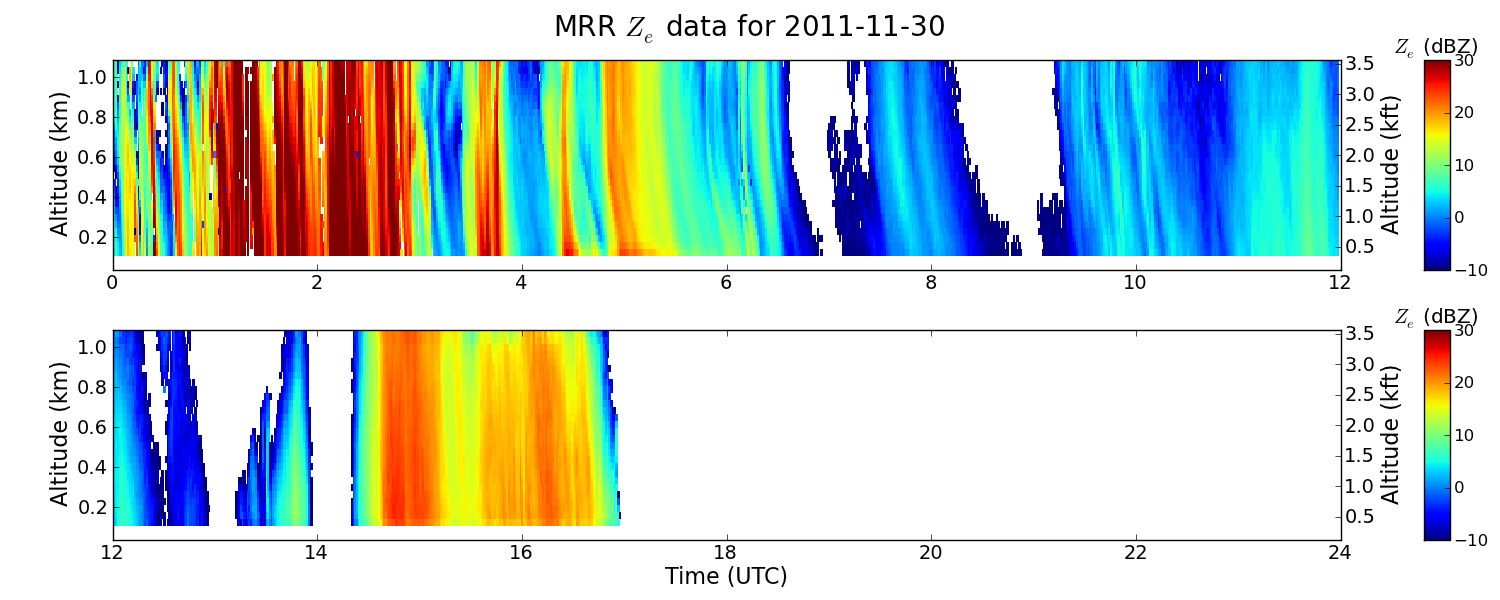
GPM GROUND VALIDATION ENVIRONMENT CANADA (EC) MICRO RAIN RADAR (MRR) GCPEX V2
National Aeronautics and Space Administration —
The GPM Ground Validation Environment Canada (EC) Micro Rain Radar (MRR) GCPEx V2 dataset was collected from the Micro Rain Radar (MRR) during the GPM Cold-season... -
Federal
Sub-global Scenarios that Extend the Global SSP Narratives: Literature Database, Version 1, 2014-2021
National Aeronautics and Space Administration —
The Sub-global Scenarios that Extend the Global SSP Narratives: Literature Database, Version 1, 2014-2021 consists of 37 columns of bibliographic data, methodological... -
Federal
ATTREX-Aircraft_Radiation_Measurements
National Aeronautics and Space Administration —
ATTREX-Aircraft_Radiation_Measurements are in-situ radiation measurements collected onboard the Global Hawk Unihabited Aerial System (UAS) during the Airborne... -
Federal
GPM GROUND VALIDATION NASA MICRO RAIN RADAR (MRR) GCPEX V2
National Aeronautics and Space Administration —
The GPM Ground Validation NASA Micro Rain Radar (MRR) GCPEx dataset was collected by a Micro Rain Radar (MRR), which is a vertically pointing Doppler radar which... -
Federal
ATTREX-Aircraft_insitu_Cloud_property_Measurements
National Aeronautics and Space Administration —
ATTREX-Aircraft_insitu_Cloud_property_Measurements are in-situ cloud measurements collected onboard the Global Hawk Unihabited Aerial System (UAS) during the Airborne... -
Federal
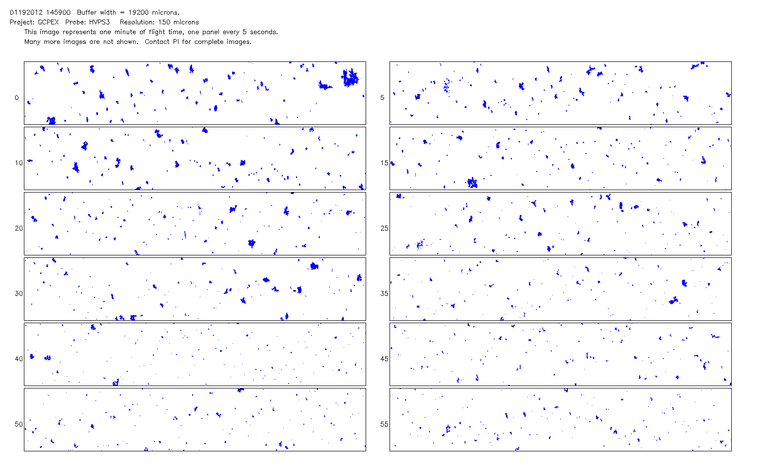
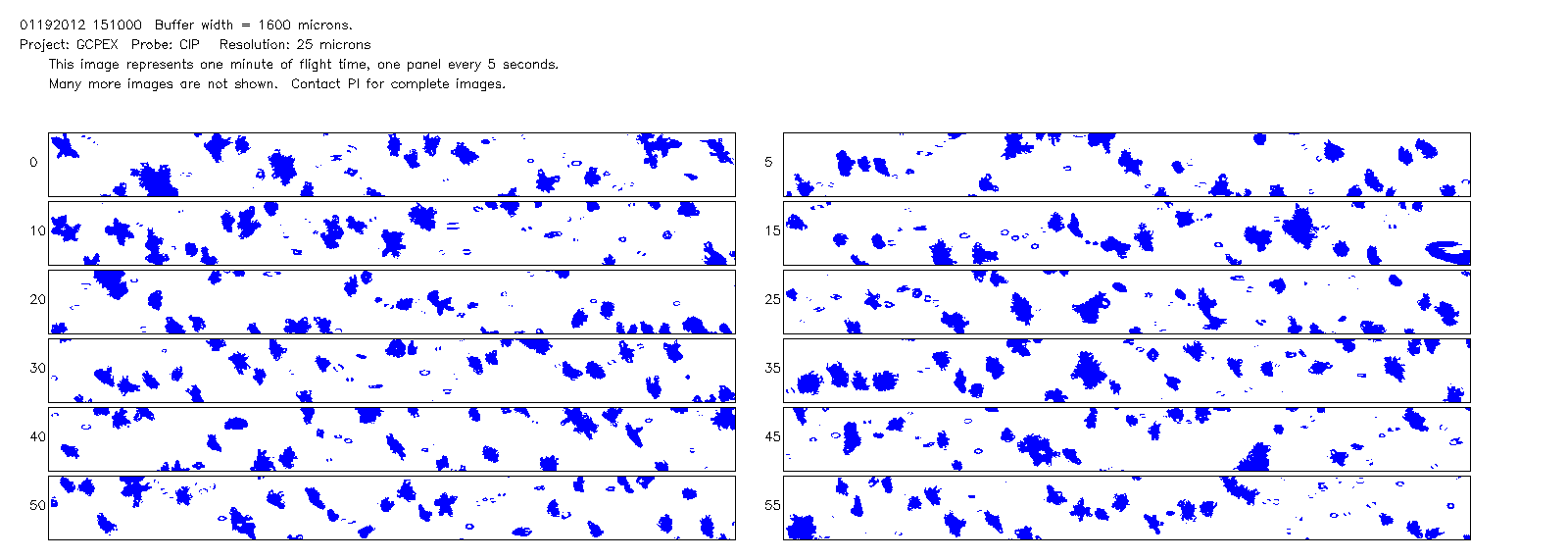
GPM GROUND VALIDATION NCAR CLOUD MICROPHYSICS PARTICLE PROBES GCPEX V1
National Aeronautics and Space Administration —
The GPM Ground Validation NCAR Cloud Microphysics Particle Probes GCPEx data was collected during the GPM Cold-season Precipitation Experiment (GCPEx), which occurred... -
Federal
GPM GROUND VALIDATION ENVIRONMENT CANADA (EC) MANUAL PRECIPITATION MEASUREMENTS GCPEX V1
National Aeronautics and Space Administration —
The GPM Ground Validation Environment Canada (EC) Manual Precipitation Measurements GCPEx dataset was collected during the GPM Cold-season Precipitation Experiment... -
Federal
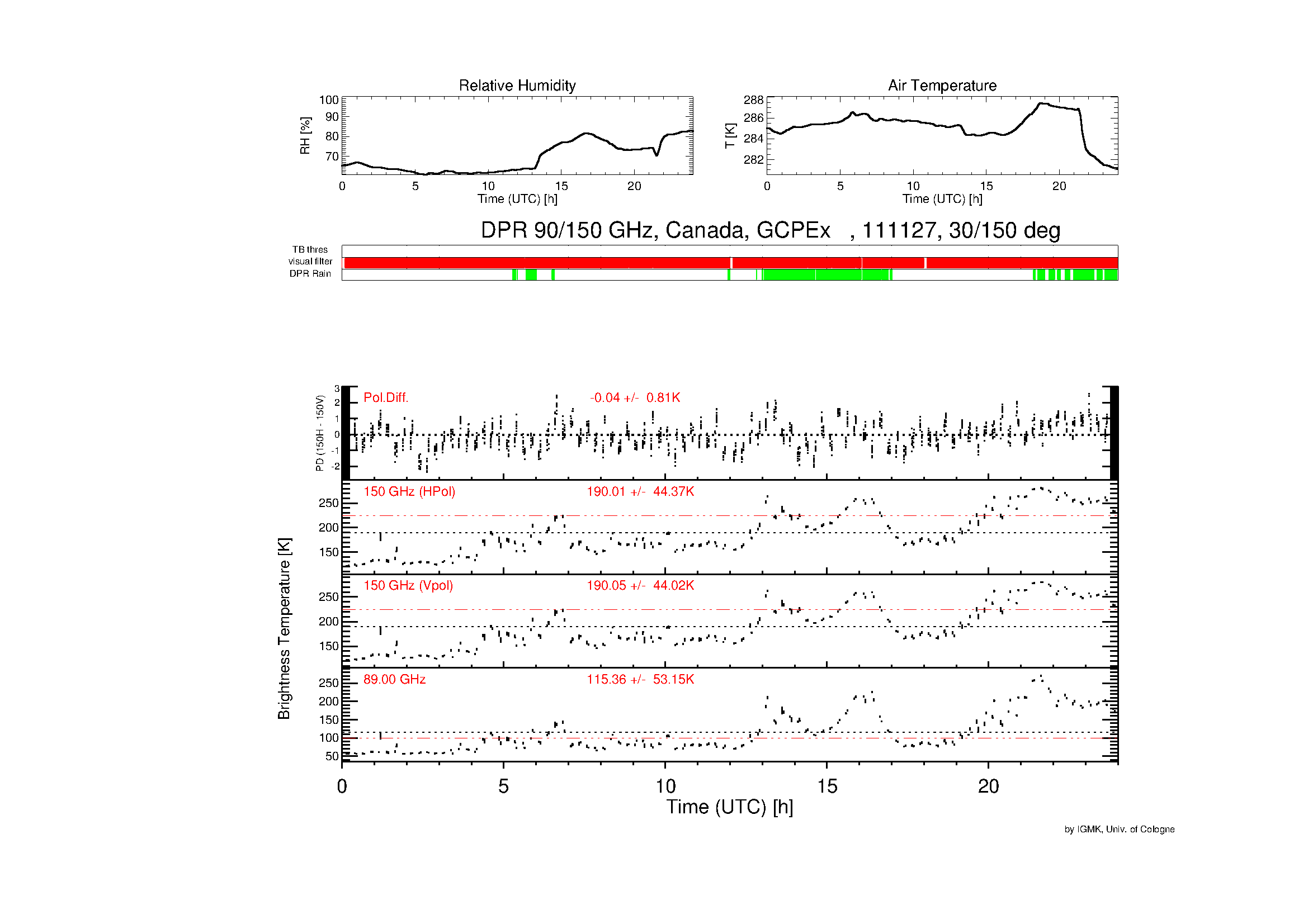
GPM GROUND VALIDATION DUAL POLARIZATION RADIOMETER GCPEX V1
National Aeronautics and Space Administration —
The GPM Ground Validation Dual Polarization Radiometer GCPEx dataset includes brightness temperature measurements at frequencies 90 GHz (not polarized) and 150 GHz... -
Federal
GPM GROUND VALIDATION ENVIRONMENT CANADA (EC) PASSIVE MICROWAVE RADIOMETER AND SOIL MOISTURE-TEMPERATURE DATA GCPEX V1
National Aeronautics and Space Administration —
The GPM Ground Validation Environment Canada (EC) Passive Microwave Radiometer and Soil Moisture-Temperature Data GCPEx dataset is consisted of data during the GPM... -
Federal
VIIRS/NPP Vegetation Indices 16-Day L3 Global 0.05Deg CMG V001
National Aeronautics and Space Administration —
The NASA/NOAA Suomi National Polar-orbiting Partnership (Suomi NPP) Visible Infrared Imaging Radiometer Suite (VIIRS) Vegetation Indices (VNP13C1) Version 1 data... -
Federal
GPM GROUND VALIDATION DC-8 CAMERA NADIR GCPEX V1
National Aeronautics and Space Administration —
The GPM Ground Validation DC-8 Camera Nadir GCPEx dataset contains geo-located, visible-wavelength imagery of the ground obtained from the nadir camera aboard the...

Official websites use .gov
A
.gov website belongs to an official government
organization in the United States.
Secure .gov websites use HTTPS
A
lock (
) or https:// means you’ve safely connected to
the .gov website. Share sensitive information only on official,
secure websites.