

GPM GROUND VALIDATION ENVIRONMENT CANADA (EC) MANUAL PRECIPITATION MEASUREMENTS GCPEX V1
Access & Use Information
Public: This dataset is intended for public access and use.
License: No license information was provided. If this work was prepared by an officer or employee of the United States government as part of that person's official duties it is considered a U.S. Government Work.
Downloads & Resources
-
Get a related visualizationPNG
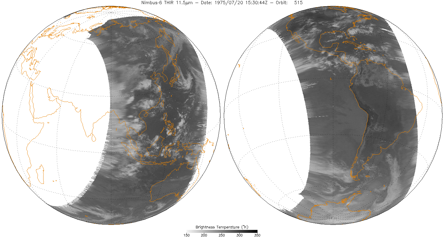
THIRN6L1CH115_001.png
-
This dataset's landing pageHTML
Access the dataset landing page from the GES DISC website.
-
Download this dataset through a directory mapHTML
Access the data via HTTPS.
-
Download this dataset through Earthdata SearchHTML
Use the Earthdata Search to find and retrieve data sets across multiple data...
-
View this dataset's read me documentPDF
README Document
-
View this dataset's user's guidePDF
Nimbus 6 User's Guide
-
View documentation related to this datasetGZ
Nimbus 6 Data Catalog
-
View documentation related to this datasetHTML
Additional Nimbus data and images can be found at NSIDC
-
View documentation related to this datasetHTML
Nimbus6 THIR Ch115 Inventory
-
Landing PageLanding Page
Dates
| Metadata Created Date | December 1, 2022 |
|---|---|
| Metadata Updated Date | September 19, 2025 |
Metadata Source
- Data.json Data.json Metadata
Harvested from NASA Data.json
Additional Metadata
| Resource Type | Dataset |
|---|---|
| Metadata Created Date | December 1, 2022 |
| Metadata Updated Date | September 19, 2025 |
| Publisher | NASA/MSFC/GHRC |
| Maintainer | |
| Identifier | C1979685952-GHRC_DAAC |
| Data First Published | 2014-03-10 |
| Language | en-US |
| Data Last Modified | 2025-04-01 |
| Category | GCPEx, geospatial |
| Public Access Level | public |
| Bureau Code | 026:00 |
| Metadata Context | https://project-open-data.cio.gov/v1.1/schema/catalog.jsonld |
| Schema Version | https://project-open-data.cio.gov/v1.1/schema |
| Catalog Describedby | https://project-open-data.cio.gov/v1.1/schema/catalog.json |
| Harvest Object Id | 3c1aa9ac-ba35-4eb4-9d34-2a025a3f7002 |
| Harvest Source Id | 58f92550-7a01-4f00-b1b2-8dc953bd598f |
| Harvest Source Title | NASA Data.json |
| Homepage URL | https://doi.org/10.5067/GPMGV/GCPEX/GAUGES/DATA101 |
| Metadata Type | geospatial |
| Old Spatial | -79.8 44.2 -79.7 44.3 |
| Program Code | 026:001 |
| Source Datajson Identifier | True |
| Source Hash | b4120d873c7698854b98f44311e787ea4ce023b0c36c1b33917783137102dd9b |
| Source Schema Version | 1.1 |
| Spatial | |
| Temporal | 2012-01-18T16:58:00Z/2012-03-28T13:16:00Z |
Didn't find what you're looking for? Suggest a dataset here.