
-
Federal
NACP North American Forest Dynamics Project: Forest Disturbance and Regrowth Data recent views
National Aeronautics and Space Administration —
This data set provides the results of time-series analyses of Landsat imagery for 55 selected forested sites across the conterminous U.S.A. The output is a pair of... -
Federal
VEMAP 2: Annual Ecosystem Model Responses to U.S. Climate Change, 1994-2100 recent views
National Aeronautics and Space Administration —
Phase 2 of the VEMAP Project developed historical (1895-1993) gridded data sets of climate (temperature, precipitation, solar radiation, humidity, and wind speed) and... -
Federal
Global Forest Ecosystem Structure and Function Data For Carbon Balance Research recent views
National Aeronautics and Space Administration —
A comprehensive global database has been assembled to quantify CO2 fluxes and pathways across different levels of integration (from photosynthesis up to net ecosystem... -
Federal
Global Vegetation Greenness (NDVI) from AVHRR GIMMS-3G+, 1981-2022 recent views
National Aeronautics and Space Administration —
This dataset holds the Global Inventory Modeling and Mapping Studies-3rd Generation V1.2 (GIMMS-3G+) data for the Normalized Difference Vegetation Index (NDVI). NDVI... -
Federal
Impacts of Wildfires on Boreal Forest Ecosystem Carbon Dynamics recent views
National Aeronautics and Space Administration —
This dataset contains simulations of net primary production (NPP), heterotrophic respiration (RH), net ecosystem production (NEP), and soil temperature data in North... -
Federal
USGS Digital Orthophoto Quadrangles recent views
National Aeronautics and Space Administration —
A Digital Orthophoto Quadrangle (DOQ) is a computer-generated image of an aerial photograph in which the image displacement caused by terrain relief and camera tilt... -
Federal
A Global Database of Gas Fluxes from Soils after Rewetting or Thawing, Version 1.0 recent views
National Aeronautics and Space Administration —
This database contains information compiled from published studies on gas flux from soil following rewetting or thawing. The resulting database includes 222 field and... -
Federal
Global Land Cover Characterization Program recent views
National Aeronautics and Space Administration —
The Global Land Cover Characterization Project was established to meet science data requirements identified by the International Geosphere and Biosphere Programme... -
Federal
AMSR2/GCOM-W1 surface soil moisture (LPRM) L3 1 day 10 km x 10 km ascending V001 (LPRM_AMSR2_DS_A_SOILM3) at GES DISC recent views
National Aeronautics and Space Administration —
AMSR2/GCOM-W1 surface soil moisture (LPRM) L3 1 day 10 km x 10 km ascending V001 is a Level 3 (gridded) data set. Its land surface parameters, surface soil moisture,... -
Federal
MODIS-derived Annual Vegetation Resilience, 2000-2019 NGDA recent views
National Aeronautics and Space Administration —
This dataset provides estimates of vegetation resilience in the Arctic Boreal Vulnerability Experiment (ABoVE) core domain at annual time steps for 2000-2019 and at... -
Federal
TMI/TRMM surface soil moisture (LPRM) L2 V001 (LPRM_TMI_SOILM2) at GES DISC recent views
National Aeronautics and Space Administration —
TMI/TRMM surface soil moisture (LPRM) L2 V001 is a Level 2 (swath) data set. Its land surface parameters, surface soil moisture, land surface (skin) temperature, and... -
Federal
High Resolution Land Cover-Specific Solar-Induced Fluorescence, Midwestern USA, 2018 NGDA recent views
National Aeronautics and Space Administration —
This dataset provides estimated solar-induced chlorophyll fluorescence (SIF) of specific vegetation types and total SIF under clear-sky and real/cloudy conditions at... -
Federal
ISLSCP II Ecosystem Rooting Depths NGDA recent views
National Aeronautics and Space Administration —
The goal of this study was to predict the global distribution of plant rooting depths based on data about global aboveground vegetation structure and climate.... -
Federal
MISR L2 Surface Product subset for the SAMUM region V002 recent views
National Aeronautics and Space Administration —
This Level 2 Land Surface product contains information on land directional reflectance properties,albedos(spectral & PAR integrated),FPAR,asssociated radiation... -
Federal
SMAPVEX19-22 Massachusetts Vegetation Optical Depth V001 recent views
National Aeronautics and Space Administration —
As part of the SMAPVEX19-22 campaign, an L-band radiometer was deployed on top of a tower at Harvard Forest,Massachusetts, looking down at a stand of red oak forest.... -
Federal
ALOS_PALSAR_RTC_HIGH_RES recent views
National Aeronautics and Space Administration —
PALSAR_Radiometric_Terrain_Corrected_high_res -
Federal
MISR Level 3 Component Global Land Product covering a year V004 recent views
National Aeronautics and Space Administration —
MIL3YLS_4 is the Multi-angle Imaging SpectroRadiometer (MISR) Level 3 Component Global Land Product covering a year version 4. It contains a statistical summary of... -
Federal
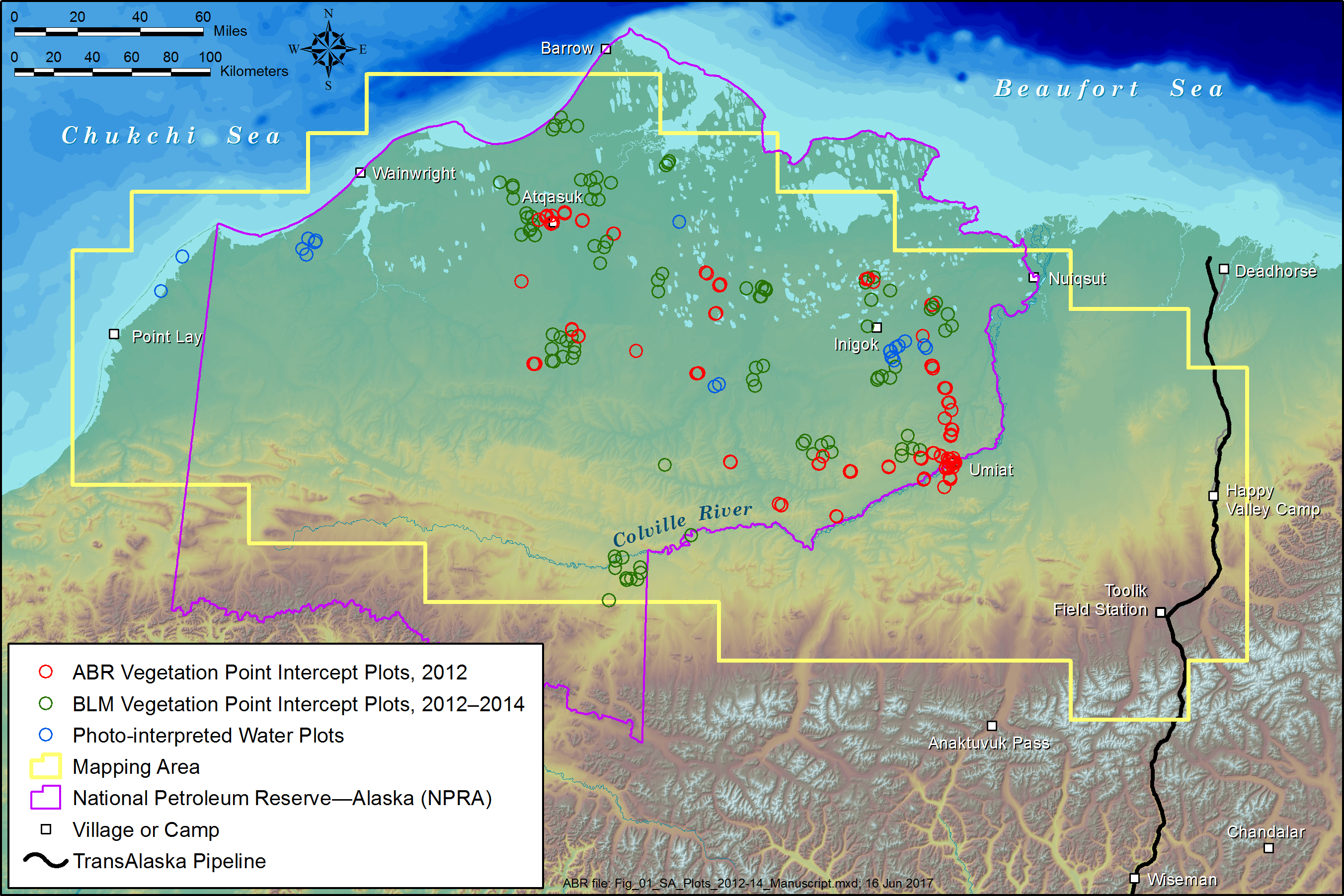
ABoVE: Tundra Plant Functional Type Continuous-Cover, North Slope, Alaska, 2010-2015 recent views
National Aeronautics and Space Administration —
This dataset provides predicted continuous-field cover for tundra plant functional types (PFTs), across ~125,000 km2 of Alaska's North Slope at 30-m resolution. The... -
Federal
ABoVE: Burn Severity, Fire Progression, Landcover and Field Data, NWT, Canada, 2014 NGDA recent views
National Aeronautics and Space Administration —
This data set provides peatland landcover classification maps, fire progression maps, and vegetation community biophysical data collected from areas that were burned... -
Federal
NLDAS VIC Land Surface Model L4 Monthly 0.125 x 0.125 degree V2.0 (NLDAS_VIC0125_M) at GES DISC recent views
National Aeronautics and Space Administration —
This data set contains forty-three fields simulated from the VIC land-surface model (LSM) for Phase 2 of the North American Land Data Assimilation System (NLDAS-2)....

Official websites use .gov
A
.gov website belongs to an official government
organization in the United States.
Secure .gov websites use HTTPS
A
lock (
) or https:// means you’ve safely connected to
the .gov website. Share sensitive information only on official,
secure websites.