

4 datasets found
-
Federal
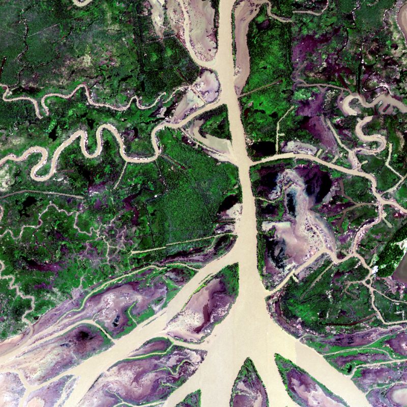
Global Mangrove Loss Extent, Land Cover Change, and Loss Drivers, 2000-2016 recent views
National Aeronautics and Space Administration —
This dataset provides estimates of the extent of mangrove loss, land cover change, and its anthropogenic or climatic drivers in three time periods: 2000-2005,... -
Federal
Delta-X: AVIRIS-NG L2B BRDF-Adjusted Surface Reflectance, MRD, LA, 2021, V2 recent views
National Aeronautics and Space Administration —
This data provides AVIRIS-NG Bidirectional Reflectance Distribution Function (BRDF) and sunglint-corrected surface spectral reflectance images over the Atchafalaya... -
Federal
Delta-X: Island and Secondary Channel Model, MRD, LA, USA, 2022 recent views
National Aeronautics and Space Administration —
This dataset includes model code and output for a model that simulates changes in islands and small water channels of river delta systems in response to dynamics of... -
Federal
Delta-X: Delft3D Broad-Scale Sediment Model, Atchafalaya Basin, MRD, Louisiana, USA recent views
National Aeronautics and Space Administration —
This dataset contains the Delft3D model of the Atchafalaya Basin along the Mississippi River Delta (MRD) in coastal Louisiana. Simulations cover the Delta-X Spring...
4 datasets found