
-
Federal
C-MAPSS Aircraft Engine Simulator Data
National Aeronautics and Space Administration —
SPECIAL NOTE: C-MAPSS and C-MAPSS40K ARE CURRENTLY UNAVAILABLE FOR DOWNLOAD. Glenn Research Center management is reviewing the availability requirements for these... -
Federal
CORONA Satellite Photographs from the U.S. Geological Survey
National Aeronautics and Space Administration —
The first generation of U.S. photo intelligence satellites collected more than 860,000 images of the Earth’s surface between 1960 and 1972. The classified military... -
Federal
Declassified Satellite Imagery 2 (2002)
National Aeronautics and Space Administration —
Declassified satellite images provide an important worldwide record of land-surface change. With the success of the first release of classified satellite photography... -
Federal
Global Gridded Geographically Based Economic Data (G-Econ), Version 4
National Aeronautics and Space Administration —
The Global Gridded Geographically Based Economic Data (G-Econ), Version 4 contains derived one degree grid cells of Gross Domestic Product (GDP) data in Grid and... -
Federal
Aircraft Scanners
National Aeronautics and Space Administration —
The National Aeronautics and Space Administration (NASA) Aircraft Scanners data set contains digital imagery acquired from several multispectral scanners, including... -
Federal
MODIS/Terra+Aqua Land Cover Dynamics Yearly L3 Global 500m SIN Grid V006
National Aeronautics and Space Administration —
The MCD12Q2 Version 6 data product was decommissioned on July 31, 2023. Users are encouraged to use the MCD12Q2 Version 6.1 data product.The Terra and Aqua combined... -
Federal
VIIRS NOAA-20 (JPSS-1) 375m, I-Band Active Fire Product NRT (Vector Data)
National Aeronautics and Space Administration —
Near real-time (NRT) NOAA-20 (formally JPSS-1) Visible Infrared Imaging Radiometer Suite (VIIRS) Active Fire detection product is based on the instrument's 375 m... -
Federal
Simulating Degradation Data for Prognostic Algorithm Development
National Aeronautics and Space Administration —
PHM08 Challenge Dataset is now publicly available at the NASA Prognostics Respository + Download INTRODUCTION - WHY SIMULATE DEGRADATION DATA? Of various challenges... -
Federal
HLS Landsat Operational Land Imager Surface Reflectance and TOA Brightness Daily Global 30m v2.0
National Aeronautics and Space Administration —
The Harmonized Landsat Sentinel-2 (HLS) project provides consistent surface reflectance (SR) and top of atmosphere (TOA) brightness data from a virtual constellation... -
Federal
OPERA Dynamic Surface Water Extent from Harmonized Landsat Sentinel-2 provisional product (Version 1)
National Aeronautics and Space Administration —
This dataset contains Level-3 Dynamic OPERA provisional surface water extent product version 1. The data are provisional surface water extent observations beginning... -
Federal
ORACLES Trace Gas Aircraft InSitu Data
National Aeronautics and Space Administration —
ORACLES_TraceGas_AircraftInSitu_Data are in situ trace gas measurements collected onboard the P-3 Orion or ER-2 aircraft during the ObseRvations of Aerosols above... -
Federal
Leaf Area Index Maps at 30-m Resolution, VALERI Site, Larose, Canada
National Aeronautics and Space Administration —
This data set provide local LAI maps for the Larose (Ontario) site in Canada. These derived maps may also be useful for validating other LAI maps over this same site... -
Federal
LBA Regional Mean Climatology, 0.5-Deg, 1930-1960, V. 2.1 (Cramer and Leemans)
National Aeronautics and Space Administration —
This data set is a subset of Cramer and Leemans' (2001) global database of mean monthly climatology, which contains monthly averages of mean temperature, temperature... -
Federal
MISR Level 3 Component Global Aerosol product in netCDF format covering a month V004
National Aeronautics and Space Administration —
This file contains the MISR Level 3 Component Global Aerosol product in netCDF format covering a month.MIL3MAEN_004 is the Multi-angle Imaging SpectroRadiometer... -
Federal
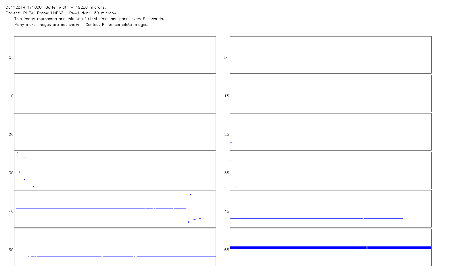
GPM Ground Validation NCAR Particle Probes IPHEx V1
National Aeronautics and Space Administration —
The GPM Ground Validation NCAR Particle Probes IPHEx dataset consists of Ice Water Content (IWC), particle number concentration normalized by bin width, and total... -
Federal
VIIRS/NPP BRDF/Albedo Nadir BRDF-Adjusted Ref Daily L3 Global 500m SIN Grid V002
National Aeronautics and Space Administration —
The NASA/NOAA Suomi National Polar-orbiting Partnership (Suomi NPP) Visible Infrared Imaging Radiometer Suite (VIIRS) Nadir Bidirectional Reflectance Distribution... -
Federal
VIIRS/NPP BRDF/Albedo Albedo Daily L3 Global 500m SIN Grid V002
National Aeronautics and Space Administration —
The VNP43IA3 Version 1 data product was decommissioned on July 31, 2025. Users are encouraged to use the VNP43IA3 and VJ143IA3 Version 2 data products.The NASA/NOAA... -
Federal
MISR Level 2 TOA/Cloud Stereo Product subset for the GoMACCS region V002
National Aeronautics and Space Administration —
GOMI2ST_002 is the Multi-angle Imaging SpectroRadiometer (MISR) Level 2 TOA/Cloud Stereo Product subset for the GoMACCS region version 2. It contains the... -
Federal
LBA Regional Global Historical Climatology Network, V. 1, 1832-1990
National Aeronautics and Space Administration —
This data set consists of a subset of the Global Historical Climatology Network (GHCN) Version 1 database for the study area of the Large Scale Biosphere-Atmosphere... -
Federal
In-Space Propulsion (346620) Technology Project
National Aeronautics and Space Administration —
Technologies include, but are not limited to, electric and advanced chemical propulsion, propellantless propulsion such as aerocapture and solar sails, sample return...

Official websites use .gov
A
.gov website belongs to an official government
organization in the United States.
Secure .gov websites use HTTPS
A
lock (
) or https:// means you’ve safely connected to
the .gov website. Share sensitive information only on official,
secure websites.