
-
Federal
Lightning Instrument Package (LIP) IMPACTS V2
National Aeronautics and Space Administration —
The Lightning Instrument Package (LIP) IMPACTS dataset consists of electrical field measurements of lightning and navigation data collected by the Lightning... -
Federal
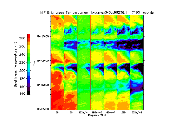
CAMEX-3 ER-2 Millimeter-wave Imaging Radiometer (MIR) V1
National Aeronautics and Space Administration —
The CAMEX-3 ER-2 Millimeter-wave Imaging Radiometer (MIR) dataset is a browse-only dataset containing plots of brightness temperature measurements collected by the... -
Federal
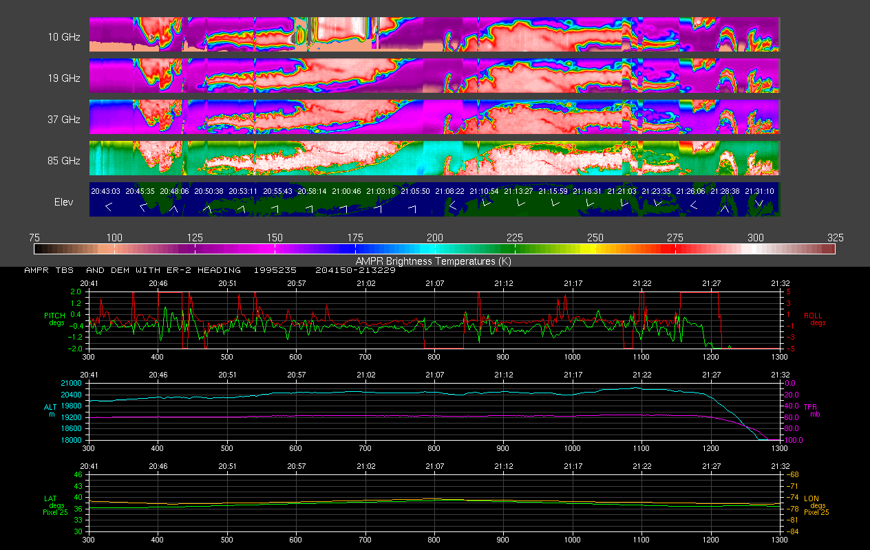
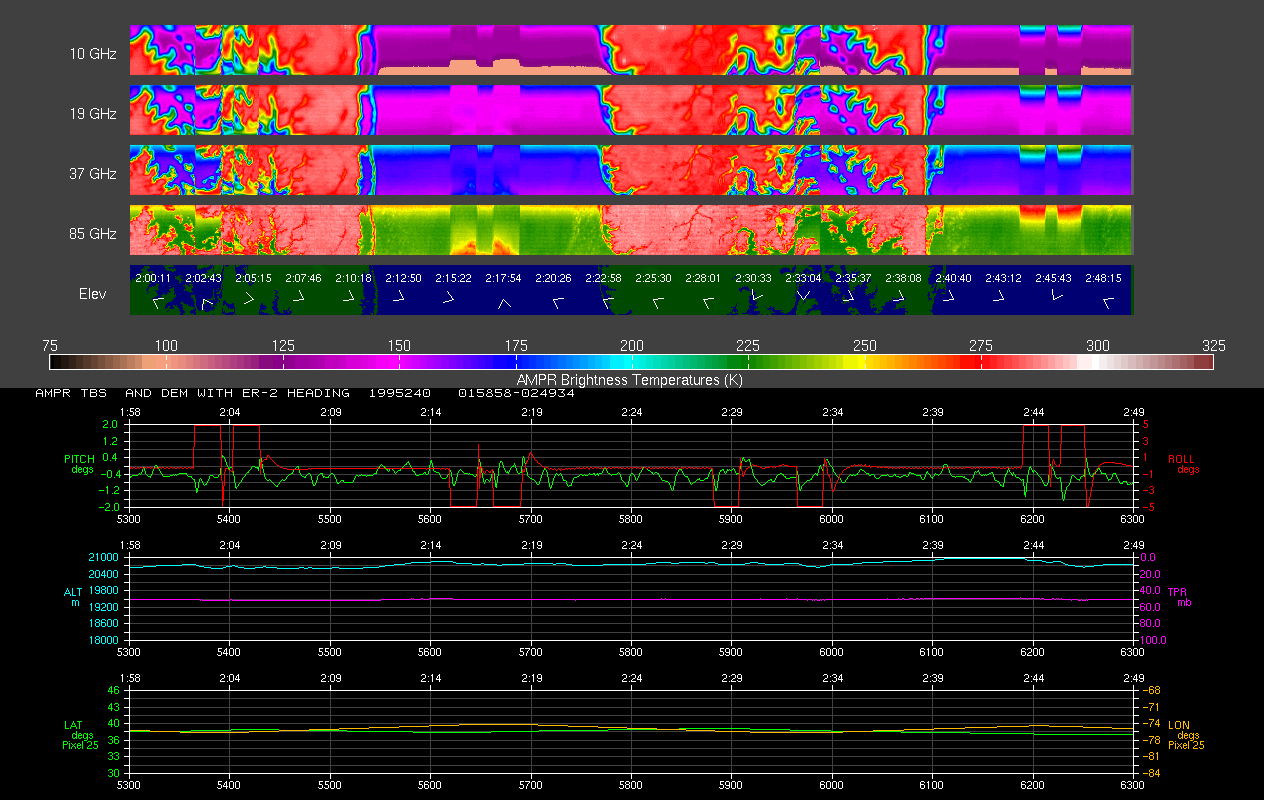
AMPR BRIGHTNESS TEMPERATURE CAMEX-2 V2
National Aeronautics and Space Administration —
The Advanced Microwave Precipitation Radiometer (AMPR) was deployed during the Convection and Moisture Experiment 2 (CAMEX-2). AMPR data were collected at a... -
Federal
SBU Ceilometers IMPACTS
National Aeronautics and Space Administration —
The SBU Ceilometers IMPACTS dataset includes ceilometer cloud height measurements collected by the Vaisala CL51, Vaisala CT25K, and Lufft Ceilometer CHM 15k... -
Federal
ACES LOG DATA
National Aeronautics and Space Administration —
The ALTUS Cloud Electrification Study (ACES) was based at the Naval Air Facility Key West in Florida. During August 2002, ACES researchers conducted overflights of... -
Federal
GPM Ground Validation Goddard Profiling Algorithm (GPROF) 2014 IFloodS V3
National Aeronautics and Space Administration —
The GPM Ground Validation Goddard Profiling Algorithm (GPROF) 2014 IFloodS dataset consists of precipitation data derived from microwave radiometers and sounders... -
Federal
HURRICANE AND SEVERE STORM SENTINEL (HS3) GLOBAL HAWK NAVIGATION V1
National Aeronautics and Space Administration —
The Hurricane and Severe Storm Sentinel (HS3) Global Hawk Navigation dataset consists of the real-time navigation and housekeeping data that was acquired from various... -
Federal
NAMMA DIODE LASER HYGROMETER (DLH) V1
National Aeronautics and Space Administration —
The NAMMA Diode Laser Hygrometer (DLH) dataset uses the DLH, a near-infrared spectrometer operating from aircraft platforms, was developed by NASA's Langley and Ames... -
Federal
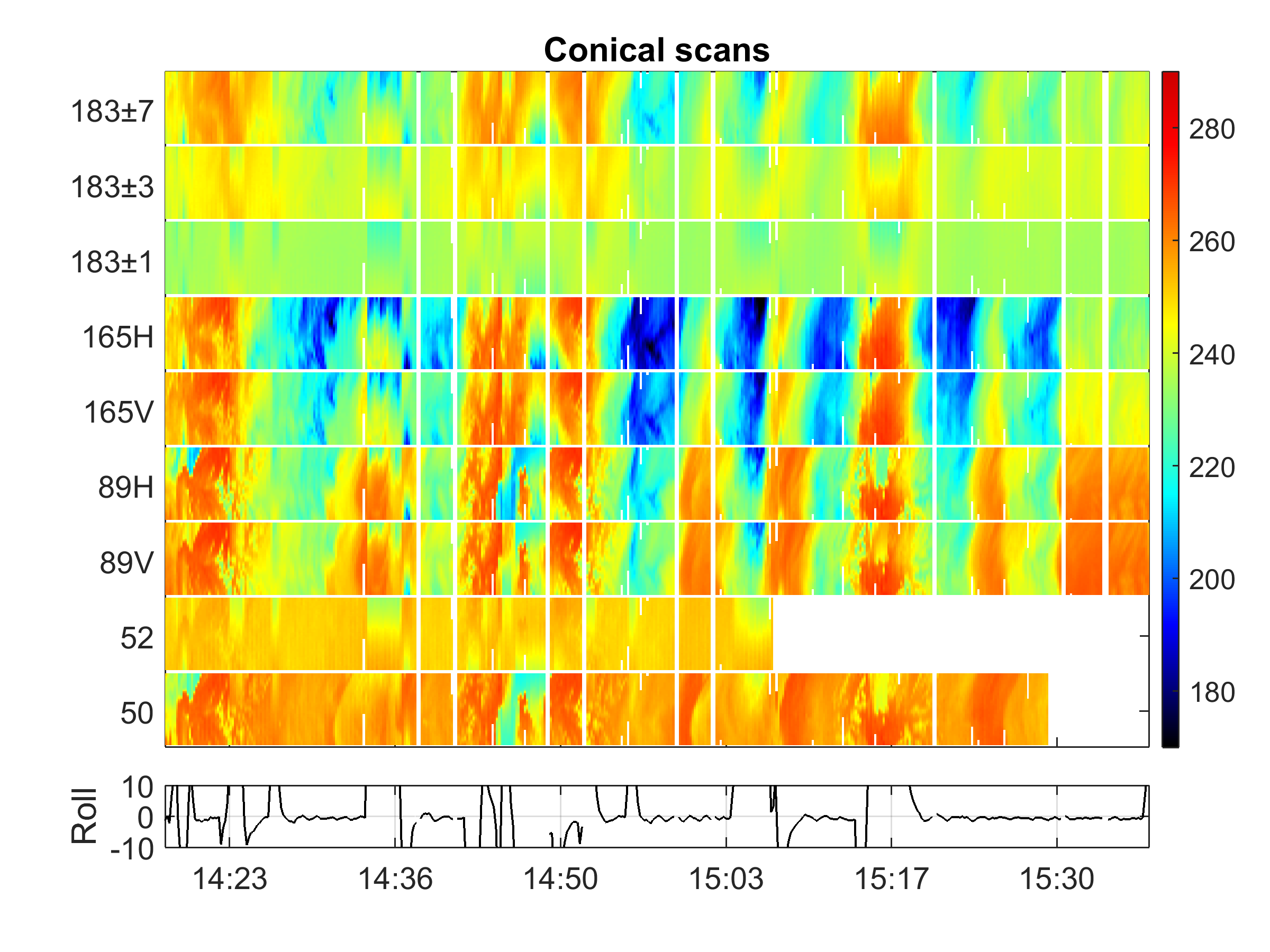
GPM Ground Validation Conical Scanning Millimeter-wave Imaging Radiometer (CoSMIR) OLYMPEX V1
National Aeronautics and Space Administration —
The GPM Ground Validation Conical Scanning Millimeter-wave Imaging Radiometer (CoSMIR) OLYMPEX dataset consists of brightness temperatures from 9 channels as measured... -
Federal
Advanced Scatterometer (ASCAT) CPEX V1
National Aeronautics and Space Administration —
The Advanced Scatterometer (ASCAT) CPEX dataset consists of ice probability, wind speed, and wind direction estimates collected by the ASCAT. The ASCAT is onboard the... -
Federal
GRIP AIRBORNE SECOND GENERATION PRECIPITATION RADAR (APR-2) V1
National Aeronautics and Space Administration —
The GRIP Airborne Second Generation Precipitation Radar (APR-2) dataset was collected from the Second Generation Airborne Precipitation Radar (APR-2), which is a... -
Federal
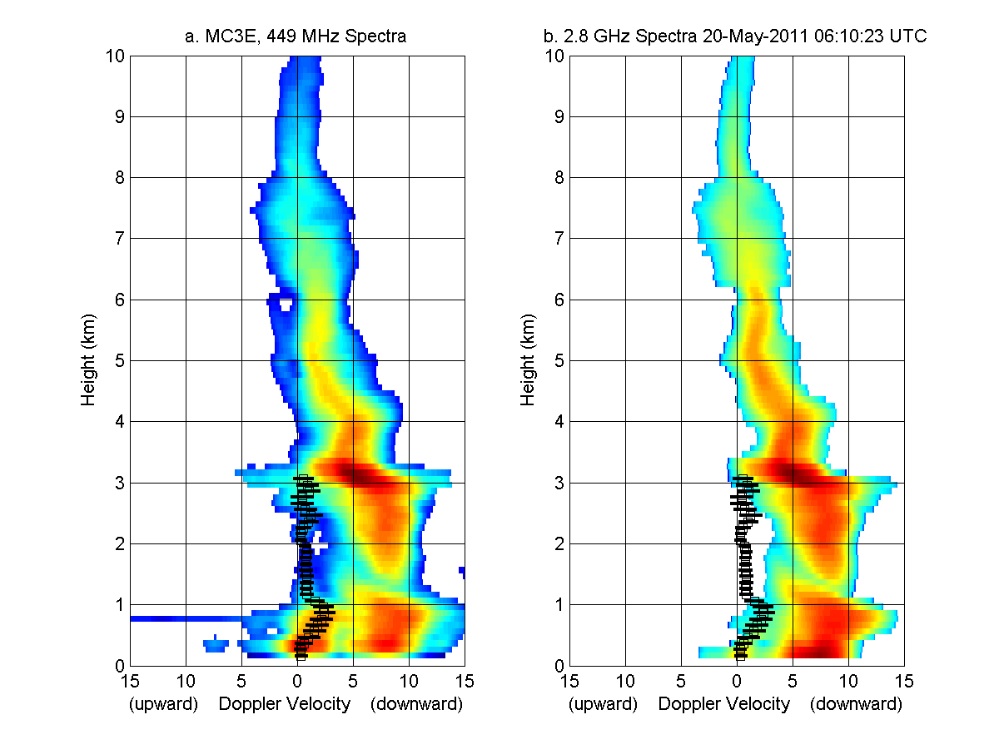
GPM GROUND VALIDATION NOAA UHF 449 PROFILER MC3E V1
National Aeronautics and Space Administration —
The GPM Ground Validation NOAA UHF 449 Profiler MC3E dataset was collected during the NASA supported Midlatitude Continental Convective Clouds Experiment (MC3E). The... -
Federal
KPBZ NEXRAD IMPACTS V1
National Aeronautics and Space Administration —
The KPBZ NEXRAD IMPACTS dataset consists of Next Generation Weather Radar (NEXRAD) Level II surveillance data that were collected at 31 NEXRAD sites from January 1 to... -
Federal
GOES-R Geostationary Lightning Mapper (GLM) Gridded Data Products V1
National Aeronautics and Space Administration —
The GOES-R Geostationary Lightning Mapper (GLM) Gridded Data Products consist of full disk extent gridded lightning flash data collected by the Geostationary... -
Federal
Advanced Microwave Precipitation Radiometer (AMPR) IMPACTS V1
National Aeronautics and Space Administration —
The Advanced Microwave Precipitation Radiometer (AMPR) IMPACTS dataset consists of brightness temperature measurements collected by the Advanced Microwave... -
Federal
Hurricane and Severe Storm Sentinel (HS3) Statistical Hurricane Intensity Prediction Scheme (SHIPS) Intensity V1
National Aeronautics and Space Administration —
The Hurricane and Severe Storm Sentinel (HS3) Statistical Hurricane Intensity Prediction Scheme (SHIPS) Intensity dataset was obtained from March 18, 2014 through... -
Federal
New York State Mesonet IMPACTS V1
National Aeronautics and Space Administration —
The New York State Mesonet IMPACTS dataset is a browse-only dataset and consists of temperature, wind, wind direction, mean sea level pressure, precipitation, and... -
Federal
Tropical Cyclone Intensity (TCI) Hurricane Imaging Radiometer (HIRAD) V2.1
National Aeronautics and Space Administration —
The Tropical Cyclone Intensity (TCI) Hurricane Imaging Radiometer (HIRAD) dataset was created for the TCI field campaign from August 30, 2015 through October 23,... -
Federal
GRIP GOES 13 VISIBLE AND INFRARED IMAGES V1
National Aeronautics and Space Administration —
The GRIP GOES 13 Visible and Infrared Images dataset was produced and archived in near real time at the Global Hydrology Resource Center throughout the Genesis and... -
Federal
AMPR BRIGHTNESS TEMPERATURE CAPE EXPERIMENT
National Aeronautics and Space Administration —
The Advanced Microwave Precipitation Radiometer (AMPR) was deployed during the Convection and Precipitation/Electrification Experiment (CaPE). AMPR data werecollected...

Official websites use .gov
A
.gov website belongs to an official government
organization in the United States.
Secure .gov websites use HTTPS
A
lock (
) or https:// means you’ve safely connected to
the .gov website. Share sensitive information only on official,
secure websites.