
-
Federal
Poverty Mapping Project: Global Subnational Prevalence of Child Malnutrition
National Aeronautics and Space Administration —
The Poverty Mapping Project: Global Subnational Prevalence of Child Malnutrition data set consists of estimates of the percentage of children with weight-for-age... -
Federal
Shuttle Radar Topography Mission (SRTM) Images
National Aeronautics and Space Administration —
Culminating more than four years of processing data, NASA and the National Geospatial-Intelligence Agency (NGA) have completed Earth's most extensive global... -
Federal
Global Man-made Impervious Surface (GMIS) Dataset From Landsat
National Aeronautics and Space Administration —
The Global Man-made Impervious Surface (GMIS) Dataset From Landsat consists of global estimates of fractional impervious cover derived from the Global Land Survey... -
Federal
UARS Halogen Occultation Experiment (HALOE) Level 3AT V019 (UARHA3AT) at GES DISC
National Aeronautics and Space Administration —
The Halogen Occultation Experiment (HALOE) Level 3AT data product consists of daily vertical profiles of temperature, aerosol extinction and concentrations of HCl,... -
Federal
Global Human Built-up And Settlement Extent (HBASE) Dataset From Landsat
National Aeronautics and Space Administration —
The Global Human Built-up And Settlement Extent (HBASE) Dataset from Landsat is a global map of HBASE derived from the Global Land Survey (GLS) Landsat dataset for... -
Federal
MetOp-C ASCAT Level 2 25.0km Ocean Surface Wind Vectors in Full Orbit Swath
National Aeronautics and Space Administration —
This dataset contains operational near-real-time Level 2 ocean surface wind vector retrievals from the Advanced Scatterometer (ASCAT) on MetOp-C at 25 km sampling... -
Federal
CEOS Cal Val Test Site - Mauritania 1 - Pseudo-Invariant Calibration Site (PICS) NGDA
National Aeronautics and Space Administration —
On the background of these requirements for sensor calibration, intercalibration and product validation, the subgroup on Calibration and Validation of the Committee... -
Federal
U.S. Social Vulnerability Index Grids, Revision 01
National Aeronautics and Space Administration —
The U.S. Social Vulnerability Index Grids, Revision 01 data set contains gridded layers for the overall Centers for Disease Control and Prevention (CDC) Social... -
Federal
High Mountain Asia CMIP6 Monthly and Yearly Water Balance Projections, 2016-2099 for Parts of Afghanistan, Tajikistan, Kyrgyzstan, and Pakistan V001
National Aeronautics and Space Administration —
This High Mountain Asia (HMA) data set comprises a suite of monthly and yearly water balance model (WBM) projections for the years 2016 – 2099, covering parts of... -
Federal
Daily and Annual NO2 Concentrations for the Contiguous United States, 1-km Grids, v1 (2000 - 2016)
National Aeronautics and Space Administration —
The Daily and Annual NO2 Concentrations for the Contiguous United States, 1-km Grids, v1 (2000-2016) data set contains daily predictions of Nitrogen Dioxide (NO2)... -
Federal
MetOp-B ASCAT Level 2 Ocean Surface Wind Vectors Optimized for Coastal Ocean
National Aeronautics and Space Administration —
This dataset contains operational near-real-time Level 2 coastal ocean surface wind vector retrievals from the Advanced Scatterometer (ASCAT) on MetOp-B at 12.5 km... -
Federal
Nimbus-7 Solar and Earth Flux Data in Native Binary Format
National Aeronautics and Space Administration —
The NIMBUS7_ERB_SEFDT data set is the Solar and Earth Flux Data Tape (SEFDT) generated from Nimbus-7 Earth Radiation Budget (ERB) instrument data. The main purpose of... -
Federal
SnowEx Colorado 3M Snow Depth Time Series and DEMs from High-Resolution Satellite Image Pairs V001
National Aeronautics and Space Administration —
This data set contains a time series of snow depth maps and related intermediary snow-on and snow-off DEMs for Grand Mesa and the Banded Peak Ranch areas of Colorado... -
Federal
Latin America and the Caribbean Population Time Series
National Aeronautics and Space Administration —
The Latin America and the Caribbean Population Time Series data set provides total population estimates using spatially consistent and comparable Units for Latin... -
Federal
Low Elevation Coastal Zone (LECZ) Global Delta Urban-Rural Population and Land Area Estimates, Version 1
National Aeronautics and Space Administration —
The Low Elevation Coastal Zone (LECZ) Global Delta Urban-Rural Population and Land Area Estimates, Version 1 data set provides country-level estimates of urban,... -
Federal
VIIRS/NPP Vegetation Indices 16-Day L3 Global 500m SIN Grid V001
National Aeronautics and Space Administration —
The NASA/NOAA Suomi National Polar-orbiting Partnership (Suomi NPP) Visible Infrared Imaging Radiometer Suite (VIIRS) Vegetation Indices (VNP13A1) Version 1 data... -
Federal
Earth Radiation area average time series through Wide-field-of-view nonscanner abroad Earth Radiation Budget Satellite Edition 4.1
National Aeronautics and Space Administration —
ERBE_S10N_WFOV_SF_ERBS_AreaAverageTimeSeries is the Earth Radiation Budget Experiment (ERBE) through Earth Radiation Budget Satellite (ERBS) area average time series... -
Federal
Earth Radiation area average time series through Wide-field-of-view nonscanner abroad Earth Radiation Budget Satellite
National Aeronautics and Space Administration —
Understanding the mean and variability of the Earth’s radiation budget (ERB) at the Top-of-Atmosphere (TOA) and surface is a fundamental quantity governing climate... -
Federal
High Mountain Asia GFDL FLOR Modeled Daily Precipitation for Extreme Analysis V001
National Aeronautics and Space Administration —
This data set includes three climate simulations of daily precipitation over the Himalayan region for summer and winter, covering different time periods: two... -
Federal
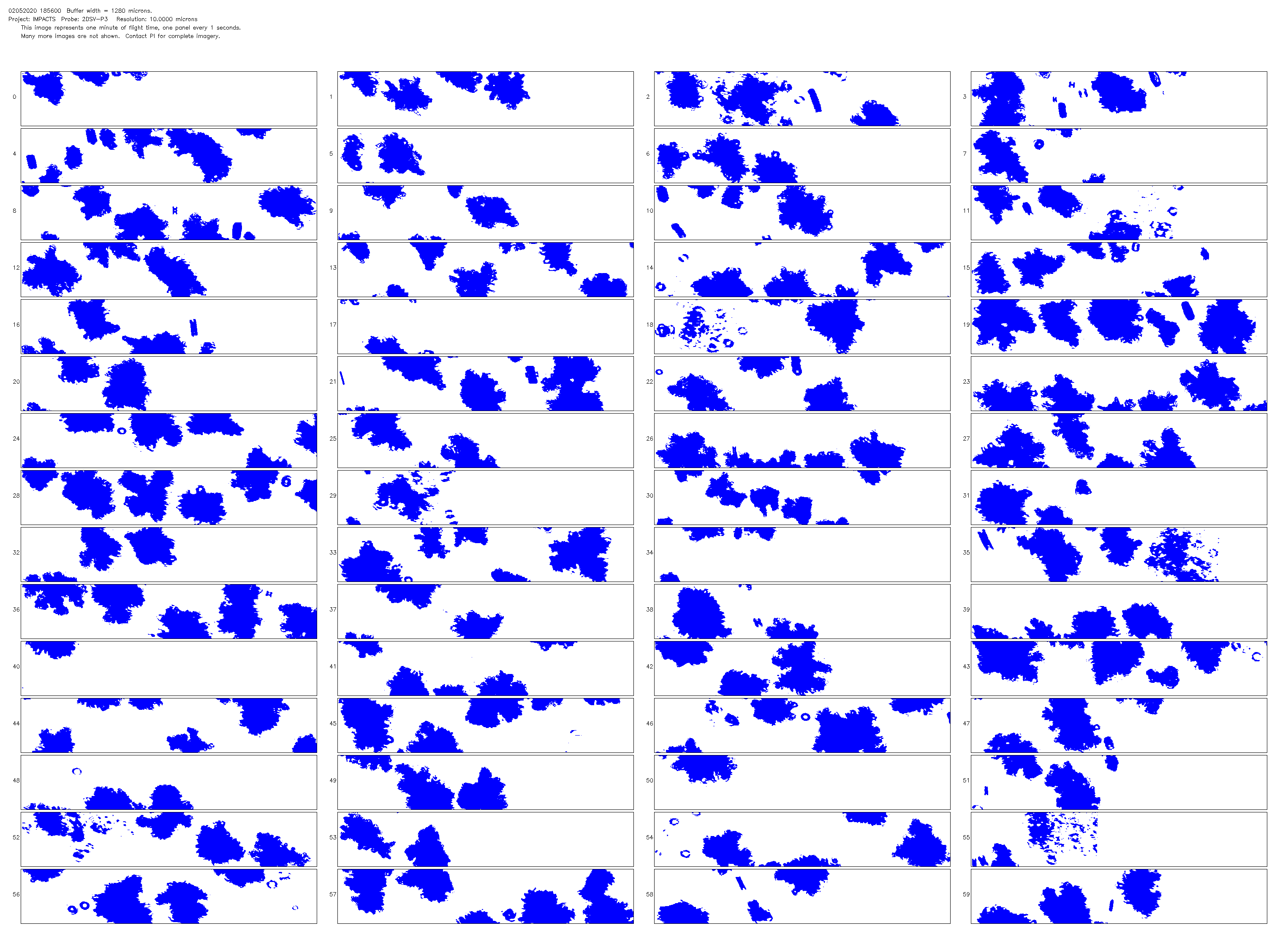
NCAR Particle Probes IMPACTS V1
National Aeronautics and Space Administration —
The NCAR Particle Probes IMPACTS dataset consists of data collected from six instruments on the NASA P-3 aircraft, the SPEC Hawkeye Cloud Particle Imager (CPI), the...

Official websites use .gov
A
.gov website belongs to an official government
organization in the United States.
Secure .gov websites use HTTPS
A
lock (
) or https:// means you’ve safely connected to
the .gov website. Share sensitive information only on official,
secure websites.