
-
Sentinel-6A MF Jason-CS L2 P4 Altimeter Low Resolution (LR) STC Reduced Ocean Surface Topography recent views
Provides low resolution (LR) short time critical (STC; 36-hour latency) measurements of sea surface height anomaly (SSHA), Significant Wave Height (SWH), and Wind Speed. The STC... -
GHRSST L3C global sub-skin Sea Surface Temperature from the Advanced Very High Resolution Radiometer (AVHRR) on Metop satellites (currently Metop-B) (GDS V2) produced by OSI SAF recent views
A global Group for High Resolution Sea Surface Temperature (GHRSST) Level 3 Collated (L3C) dataset derived from the Advanced Very High Resolution Radiometer (AVHRR) on the... -
ECCO Sea-Ice and Snow Horizontal Volume Fluxes - Daily Mean llc90 Grid (Version 4 Release 4) recent views
This dataset provides daily-averaged sea-ice and snow horizontal volume fluxes on the native Lat-Lon-Cap 90 (LLC90) model grid from the ECCO Version 4 Release 4 (V4r4) ocean and... -
HOMAGE Monthly Time series of global average steric height anomalies and ocean heat content estimates from gridded in-situ ocean observations version 01 recent views
The [HOMAGE_STERIC_OHC_TIME_SERIES_v01] dataset contains monthly global mean ocean heat content (OHC) anomalies as well as thermosteric, halosteric and total steric sea level... -
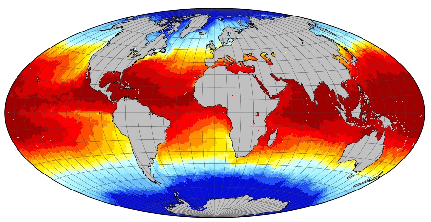
MODIS Terra Level 3 SST Thermal IR Annual 4km Nighttime V2019.0 NGDA recent views
Day and night spatially gridded (L3) global NASA skin sea surface temperature (SST) products from the Moderate-resolution Imaging Spectroradiometer (MODIS) onboard the Terra... -
OCO-2 Level 0 spacecraft ephemerides V10 (OCO2_Eph) at GES DISC recent views
Version 10 is the current version of the data set. Older versions will no longer be available and are superseded by Version 10. The Orbiting Carbon Observatory is the first NASA... -
JPL SMAP Level 3 CAP Sea Surface Salinity Standard Mapped Image 8-Day Running Mean V5.0 Validated Dataset recent views
This is the PI-produced JPL SMAP-SSS V5.0 CAP, 8-day running mean, level 3 mapped, sea surface salinity (SSS) product from the NASA Soil Moisture Active Passive (SMAP)... -
Pre-Delta-X: L3 AirSWOT-derived Water Level Profiles, Wax Lake Outlet, LA, USA, 2015 recent views
This dataset contains water level profiles generated from the AirSWOT data collected in the Atchafalaya Basin in Southern Louisiana, USA, within the Mississippi River Delta... -
GHRSST Level 2P Global Sea Surface Temperature v2.0 from the AVHRR on the MetOp-B satellite produced by NAVO recent views
A global Group for High Resolution Sea Surface Temperature (GHRSST) Level 2P data set containing multi-channel Sea Surface Temperature (SST) retrievals derived in real-time from... -
GHRSST Level 4 DMI_OI Global Foundation Sea Surface Temperature Analysis (GDS version 2) NGDA recent views
A Group for High Resolution Sea Surface Temperature (GHRSST) Level 4 sea surface temperature analysis produced daily on an operational basis by the Danish Meteorological... -
ACT-America: L1 Raw, Uncalibrated In-Situ CO2, CO, and CH4 Mole Fractions from Towers recent views
This dataset provides Level 1 (L1) in situ atmospheric carbon dioxide (CO2), carbon monoxide (CO), and methane (CH4) concentrations as measured on a network of instrumented... -
ECCO Sea-Ice Velocity - Snapshot llc90 Grid (Version 4 Release 4) recent views
This dataset provides instantaneous sea-ice velocity on the native Lat-Lon-Cap 90 (LLC90) model grid from the ECCO Version 4 Release 4 (V4r4) ocean and sea-ice state estimate.... -
Gridded Altimeter Fields with Enhanced Coastal Coverage Daily recent views
The Gridded Altimeter Fields with Enhanced Coastal Coverage data product contains Sea Surface Height Anomalies (SSHA or SLA) and zonal and meridional geostrophic velocities for... -
ECCO Geometry Parameters for the 0.5 degree Lat-Lon Model Grid (Version 4 Release 4) recent views
This dataset provides geometric parameters for the regular 0.5-degree lat-lon grid from the ECCO Version 4 Release 4 (V4r4) ocean and sea-ice state estimate. Parameters include... -
CAMEX-4 CVI CLOUD CONDENSED WATER CONTENT V1 recent views
The CAMEX-4 DC-8 Forward and NADIR Video dataset consists of DVDs which capture the forward and nadir views from the NASA DC-8 aircraft during CAMEX-4 flights. These videos... -
ECCO Ocean and Sea-Ice Surface Stress - Monthly Mean llc90 Grid (Version 4 Release 4) recent views
This dataset provides monthly-averaged ocean and sea-ice surface stress on the native Lat-Lon-Cap 90 (LLC90) model grid from the ECCO Version 4 Release 4 (V4r4) ocean and sea-... -
MODIS Terra Level 3 SST Thermal IR Daily 4km Nighttime V2019.0 NGDA recent views
Day and night spatially gridded (L3) global NASA skin sea surface temperature (SST) products from the Moderate-resolution Imaging Spectroradiometer (MODIS) onboard the Terra... -
ECCO Ocean Three-Dimensional Volume Fluxes - Daily Mean llc90 Grid (Version 4 Release 4) recent views
This dataset provides daily-averaged ocean three-dimensional volume fluxes on the native Lat-Lon-Cap 90 (LLC90) model grid from the ECCO Version 4 Release 4 (V4r4) ocean and... -
ECCO Ocean and Sea-Ice Surface Stress - Daily Mean llc90 Grid (Version 4 Release 4) recent views
This dataset provides daily-averaged ocean and sea-ice surface stress on the native Lat-Lon-Cap 90 (LLC90) model grid from the ECCO Version 4 Release 4 (V4r4) ocean and sea-ice...

Official websites use .gov
A
.gov website belongs to an official government
organization in the United States.
Secure .gov websites use HTTPS
A
lock (
) or https:// means you’ve safely connected to
the .gov website. Share sensitive information only on official,
secure websites.