
-
CMS: Modeled Net Ecosystem Exchange at 3-hourly Time Steps, 2004-2010 recent views
This data set provides global, gridded, model-derived net ecosystem exchange (NEE) of CO2 flux between the land and atmosphere at 3-hourly time steps over seven years... -
Aboveground Biomass Density for High Latitude Forests from ICESat-2, 2020 recent views
This dataset provides estimates of Aboveground dry woody Biomass Density (AGBD) for high northern latitude forests at a 30-m spatial resolution. It is designed both for boreal-... -
SAFARI 2000 Global Burned Area Map, 1-km, Southern Africa, 2000 recent views
The Global Burned Area 2000 initiative (GBA2000) was launched by the Global Vegetation Mapping Unit of the Joint Research Centre of the European Commission, in partnership with... -
Nitrogen Deposition onto the United States and Western Europe recent views
This data set contains data for wet and dry nitrogen-species deposition for the United States and Western Europe. Deposition data were acquired directly from monitoring programs... -
Global Soil Profile Data (ISRIC-WISE) recent views
The ISRIC-WISE International soil profile data set consists of a homogenized, global set of 1,125 soil profiles for use by global modelers. These profiles provided the basis for... -
Leaf Area Index Maps at 30-m Resolution, VALERI Site, Larose, Canada recent views
This data set provide local LAI maps for the Larose (Ontario) site in Canada. These derived maps may also be useful for validating other LAI maps over this same site given that... -
MODIS/Terra+Aqua Land Cover Dynamics Yearly L3 Global 500m SIN Grid V061 NGDA recent views
The Terra and Aqua combined Moderate Resolution Imaging Spectroradiometer (MODIS) Land Cover Dynamics (MCD12Q2) Version 6.1 data product provides global land surface phenology... -
VIIRS/NPP Vegetation Indices Monthly L3 Global 1km SIN Grid V001 recent views
The NASA/NOAA Suomi National Polar-orbiting Partnership (Suomi NPP) Visible Infrared Imaging Radiometer Suite (VIIRS) Vegetation Indices (VNP13A3) Version 1 data product... -
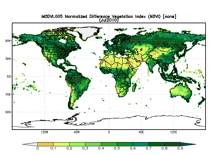
MODIS/Terra Monthly Vegetation Indices Global 1x1 degree V005 (MODVI) at GES DISC NGDA recent views
The global monthly gridded MODIS vegetation indices product is derived from the standard 0.05 CMG MODIS Terra Vegetation Indices Monthly product MOD13C2 (Huete et al, 2002)... -
Remote Sensing Data Before and After California Rim and King Forest Fires, 2010-2015 recent views
This data set provides high-resolution surface reflectance, thermal imagery, burn severity metrics, and LiDAR-derived structural measures of forested areas in the Sierra Nevada... -
ABoVE: Wolf Denning Phenology and Reproductive Success, Alaska and Canada, 2000-2017 NGDA recent views
This dataset provides annual gray wolf (Canis lupus) denning spatial information and timing, associated climatic and phenologic metrics, and reproductive success (i.e., pup... -
MODIS/Aqua Vegetation Indices 16-Day L3 Global 250m SIN Grid V061 NGDA recent views
The Aqua Moderate Resolution Imaging Spectroradiometer (MODIS) Vegetation Indices (MYD13Q1) Version 6.1 data are generated every 16 days at 250 meter (m) spatial resolution as a... -
GEDI L2A Elevation and Height Metrics Data Global Footprint Level V002 recent views
The Global Ecosystem Dynamics Investigation (GEDI) mission aims to characterize ecosystem structure and dynamics to enable radically improved quantification and understanding of... -
Tree Inventory and Biometry Measurements, Tapajos National Forest, Para, Brazil, 2010 recent views
This dataset provides tree inventory, tree height, diameter at breast height (DBH), and estimated crown measurements from 30 plots located in the Tapajos National Forest, Para,...

Official websites use .gov
A
.gov website belongs to an official government
organization in the United States.
Secure .gov websites use HTTPS
A
lock (
) or https:// means you’ve safely connected to
the .gov website. Share sensitive information only on official,
secure websites.